Slickrock Main Loop
Total Miles
5.1
Technical Rating
Best Time
Summer, Spring, Fall
Trail Type
Single Track
Accessible By
Trail Overview
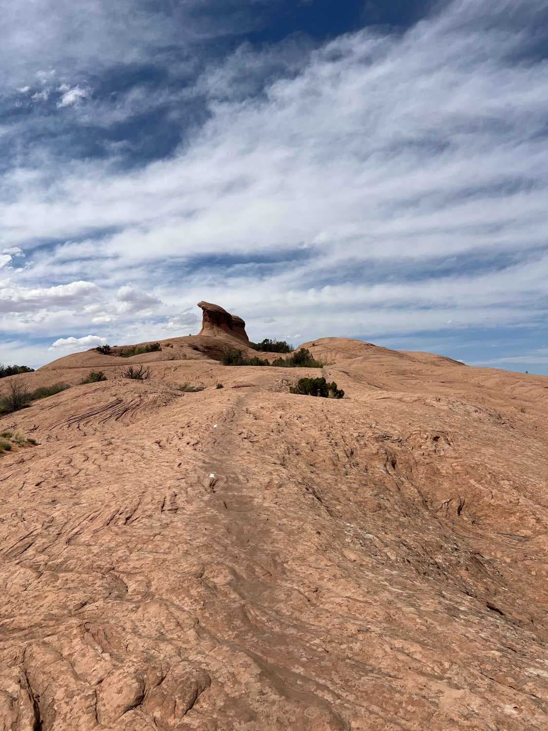
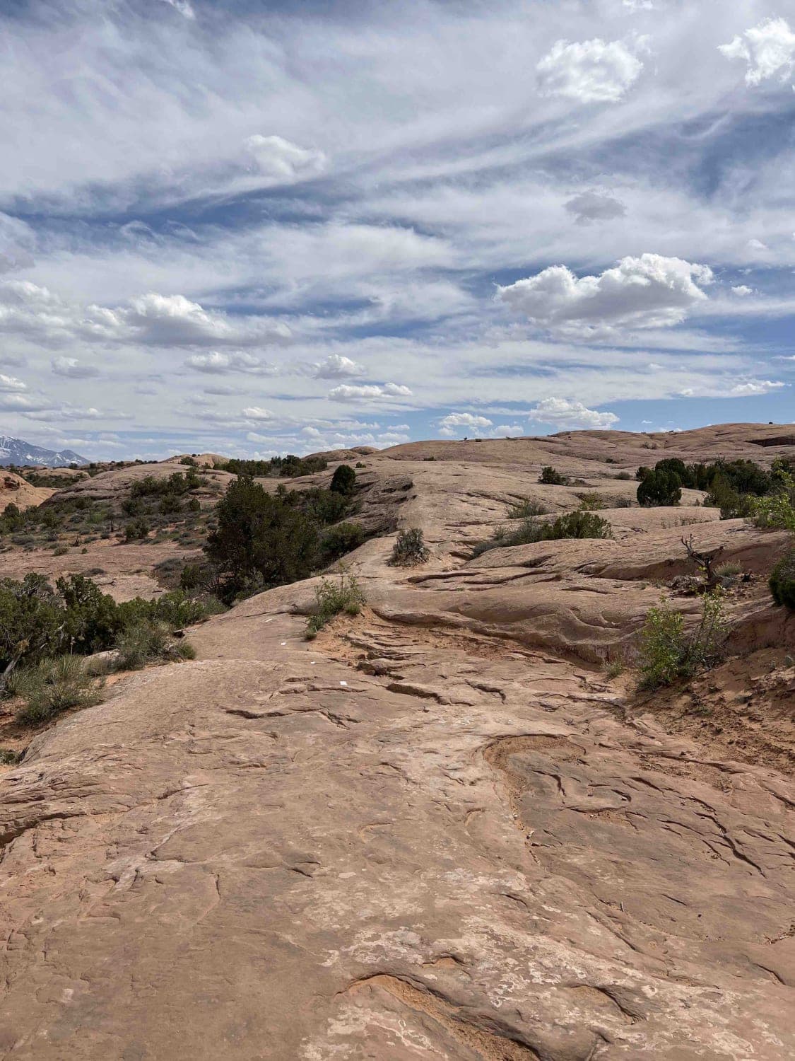
The Slickrock Main Loop is the primary circuit in the Slickrock trail system. The loop is 5.2 miles long and runs along smooth slickrock marked by white painted lines. It starts in the southwest corner of the loop where Slickrock 2 ends and travels counter-clockwise. The route crosses the Hell's Revenge trail system several times. There are many smaller hills along this part of the route, but overall the elevation is pretty constant. As you travel farther north towards the river, you'll pass a large rock formation at the top of a hill. Past this, you can either continue along the river or take the Slickrock 5 shortcut. There are a lot of fun hills and turns along the west side of the trail system where you begin to gain elevation. Eventually, you'll be on top of a rock ridge that runs southeast with views of the town of Moab. Riding along the top of this returns you to the Slickrock 2 trail. Watch out for mountain bikers along this route.
Photos of Slickrock Main Loop
Difficulty
Expect many hills and descents throughout with some exposure near the river. There are frequent crossings with the Hell's Revenge 4x4 trail system.
Status Reports
Popular Trails
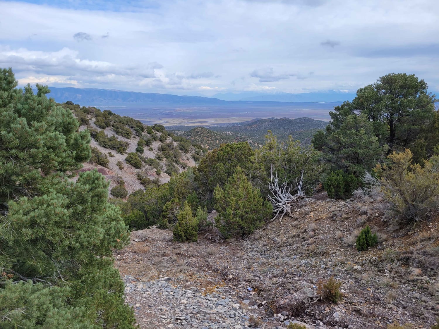
Here Back To There
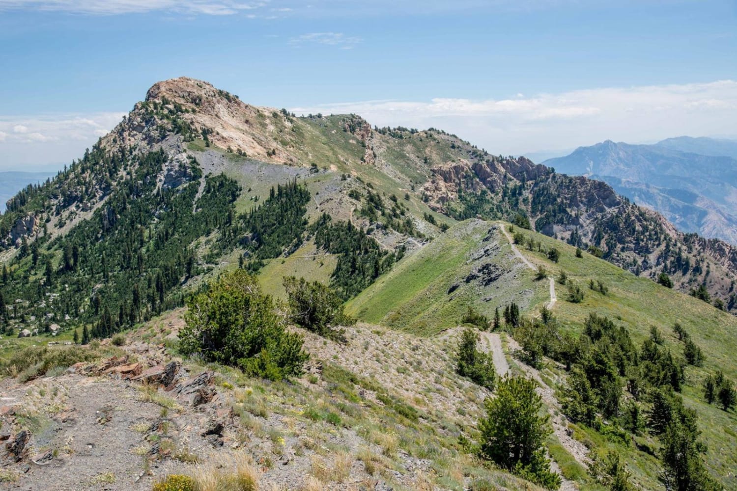
Inspiration Point
The onX Offroad Difference
onX Offroad combines trail photos, descriptions, difficulty ratings, width restrictions, seasonality, and more in a user-friendly interface. Available on all devices, with offline access and full compatibility with CarPlay and Android Auto. Discover what you’re missing today!
