Slow Elk Wash Road-TC02850
Total Miles
2.1
Elevation
1,468.85 ft
Duration
0.5 Hours
Technical Rating
Best Time
Spring, Summer, Fall, Winter
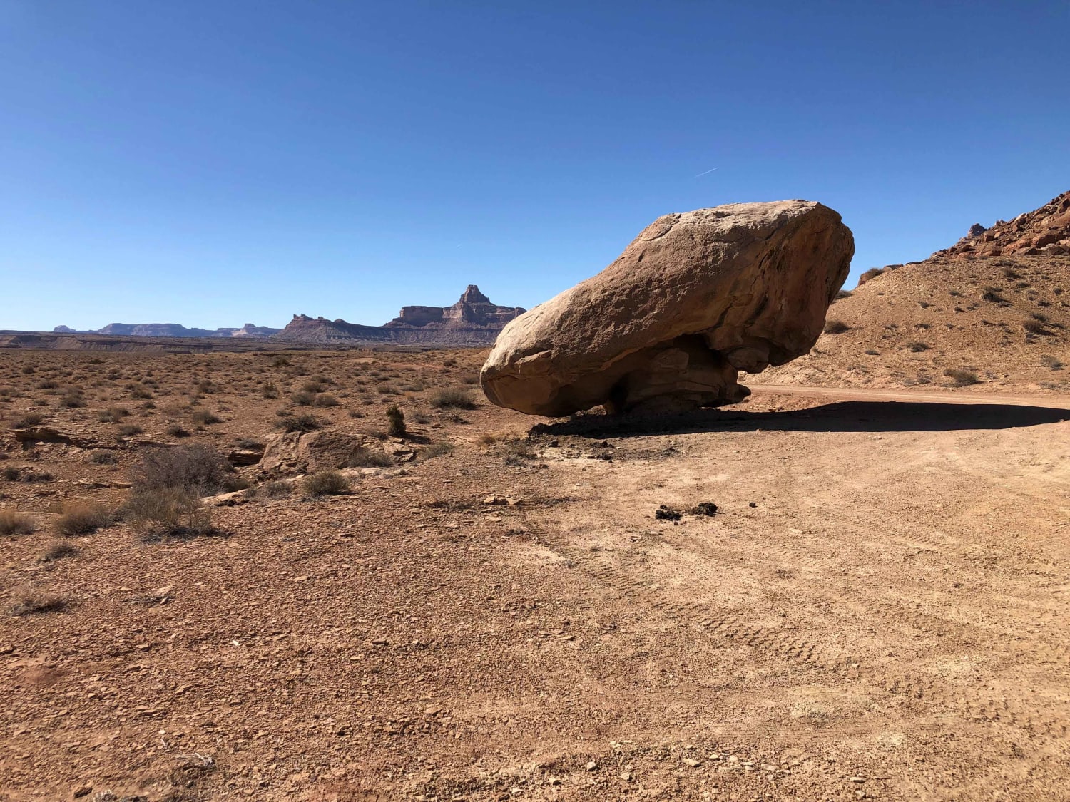
Trail Overview
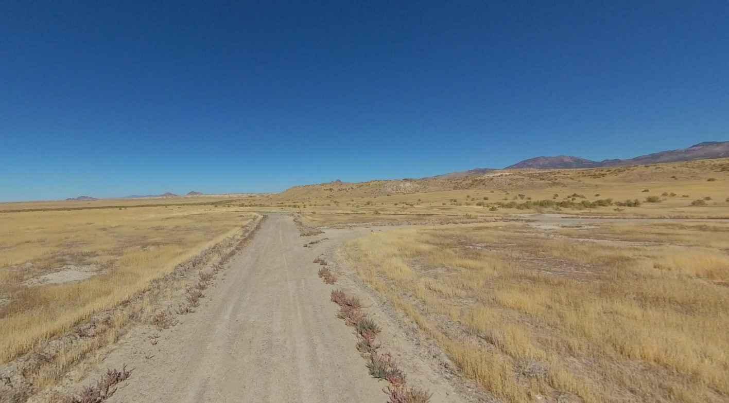
Slow Elk Wash Road is a 2.1-mile point-to-point trail rated 3 of 10 in Tooele County. This unimproved dirt track extends from Old River Bed Road southwest to the county line. At this point, the trail divides to the north on an unnamed track linking back to Flint Springs Road. The southern leg extends to the intersection of Flint Spring Road and Slow Elk Road (both in Juab County). This 2-mile track has a gentle rise in elevation as it passes through grass valleys and between rolling hills. The terrain is sparse with few trees for shade and is part of the BLM-leased grazing program. The track is single-vehicle-wide and consists of hard-packed dirt and gravel. There is evidence that the road has been graded in the past, however, ruts exist in several areas. Located on BLM land, several ill-defined tracks are extending on either side of the trail. The nearest services are located in Delta to the south and Eagle Mountain to the east.
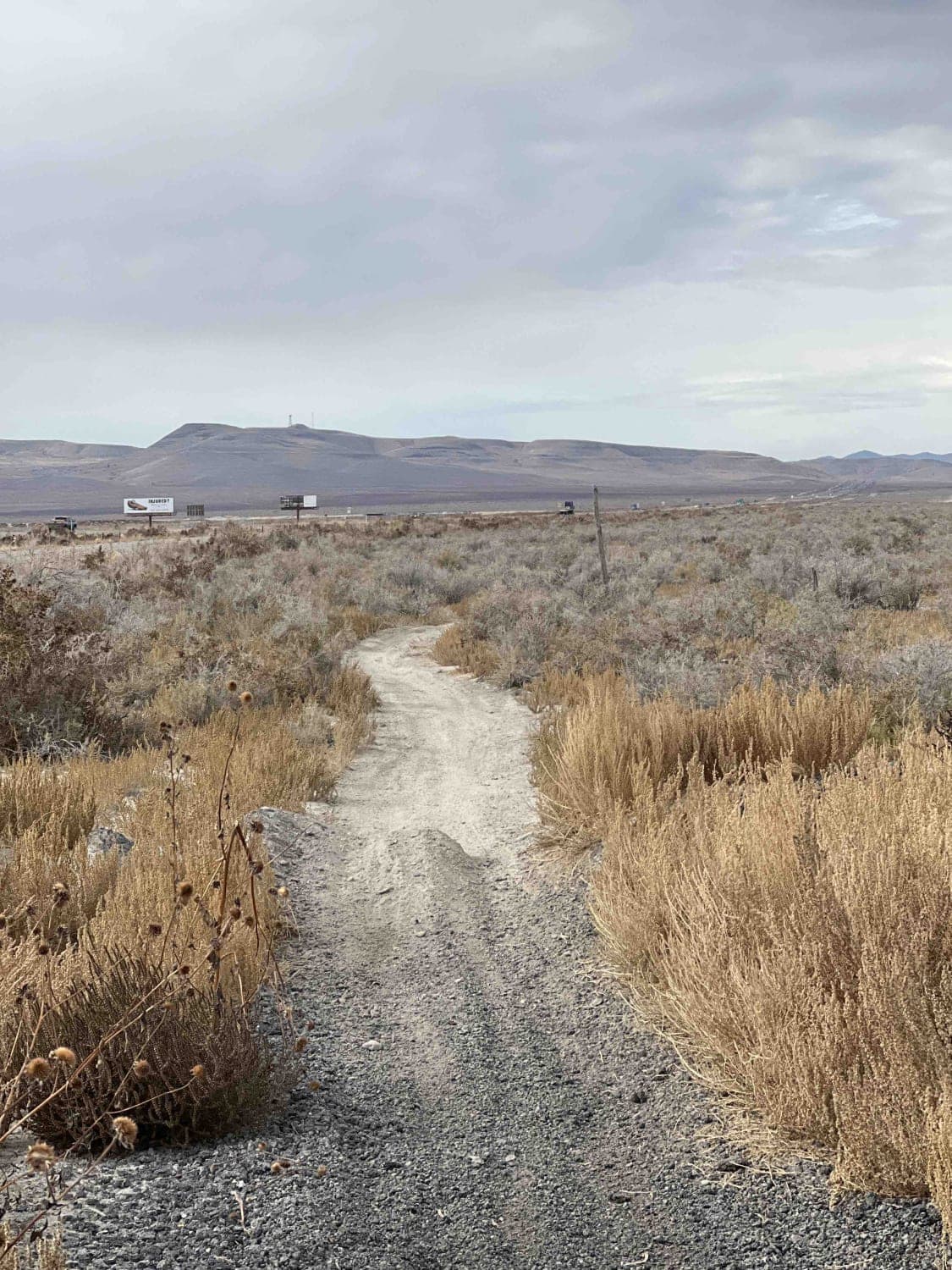
Photos of Slow Elk Wash Road-TC02850

Difficulty
The trail consists of loose rocks, dirt, and sand with possible mud holes. 4WD may be required during or after adverse weather.
Status Reports
Popular Trails
Interstate Sprint
South Fork Greenwich Creek
Glenwood Access to Fishlake Natl Forest - FS 40068
San Rafael River Road
The onX Offroad Difference
onX Offroad combines trail photos, descriptions, difficulty ratings, width restrictions, seasonality, and more in a user-friendly interface. Available on all devices, with offline access and full compatibility with CarPlay and Android Auto. Discover what you’re missing today!