Spring Canyon Bottom
Total Miles
12.2
Technical Rating
Best Time
Spring, Summer, Fall
Trail Type
Full-Width Road
Accessible By
Trail Overview
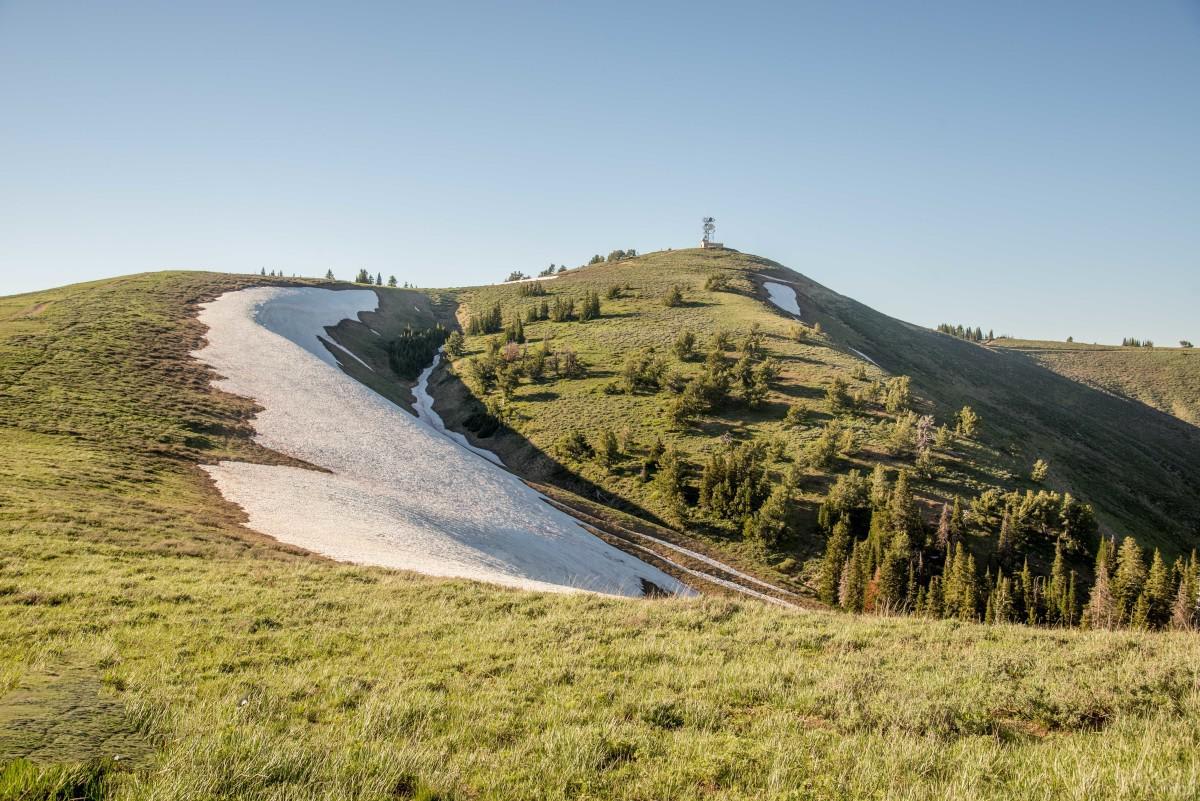
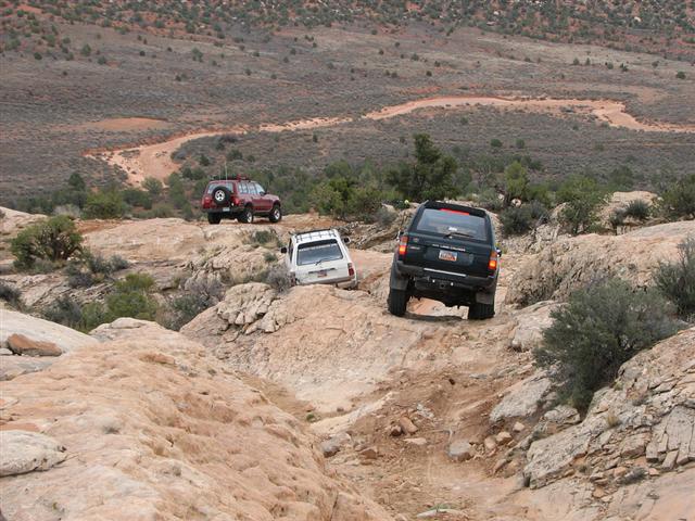
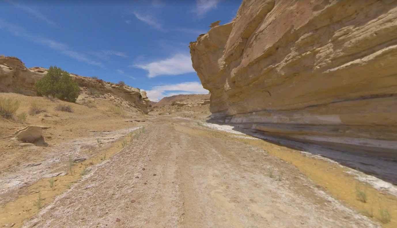
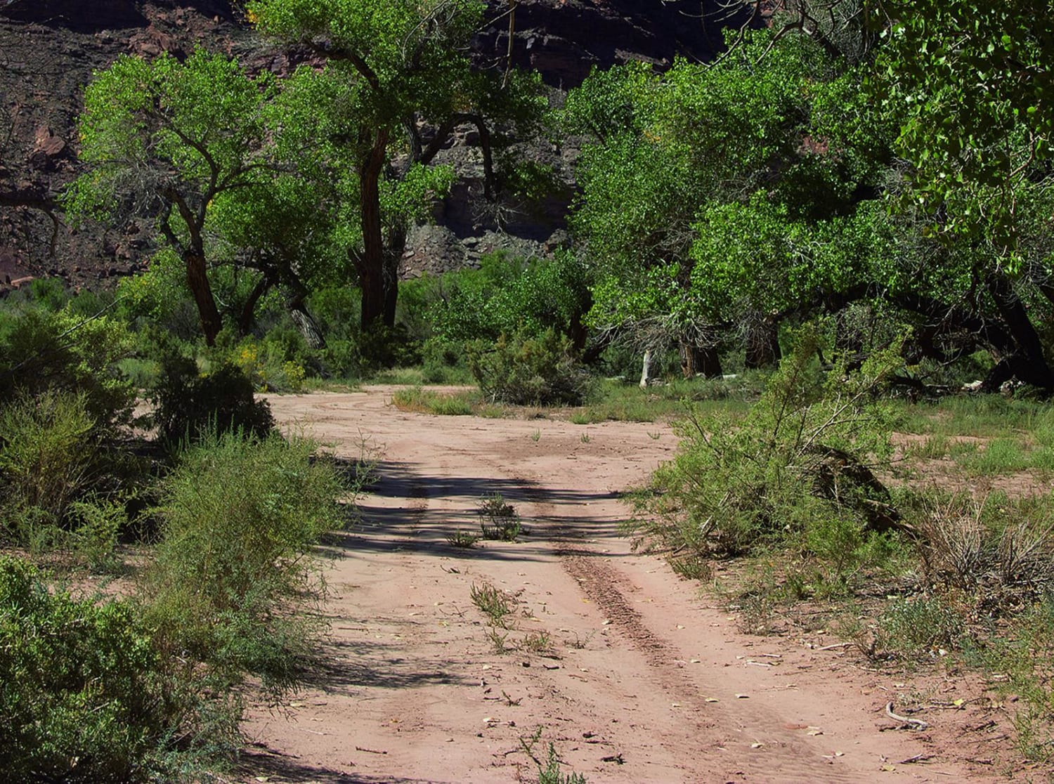
For a fun and easy adventure, you'll want to explore some of the side roads along this trail. Make your way down some amazing switchbacks to the bottom of the canyon that lead to Green River, as well as Hey Joe Canyon trailhead. Camping is available, but please use established spots and carry the required portable toilet.
Photos of Spring Canyon Bottom
Difficulty
Easy when conditions are dry and if no rockslides have occurred. Don't go down the switchbacks during rainy periods or after a heavy rainstorm as rockslides are more likely then.
Status Reports
Spring Canyon Bottom Map
Popular Trails

Mount Logan Millville Canyon

Moonscape Overlook

Hotel Rock

Brigham Plains Road-BLM430
The onX Offroad Difference
onX Offroad combines trail photos, descriptions, difficulty ratings, width restrictions, seasonality, and more in a user-friendly interface. Available on all devices, with offline access and full compatibility with CarPlay and Android Auto. Discover what you’re missing today!


