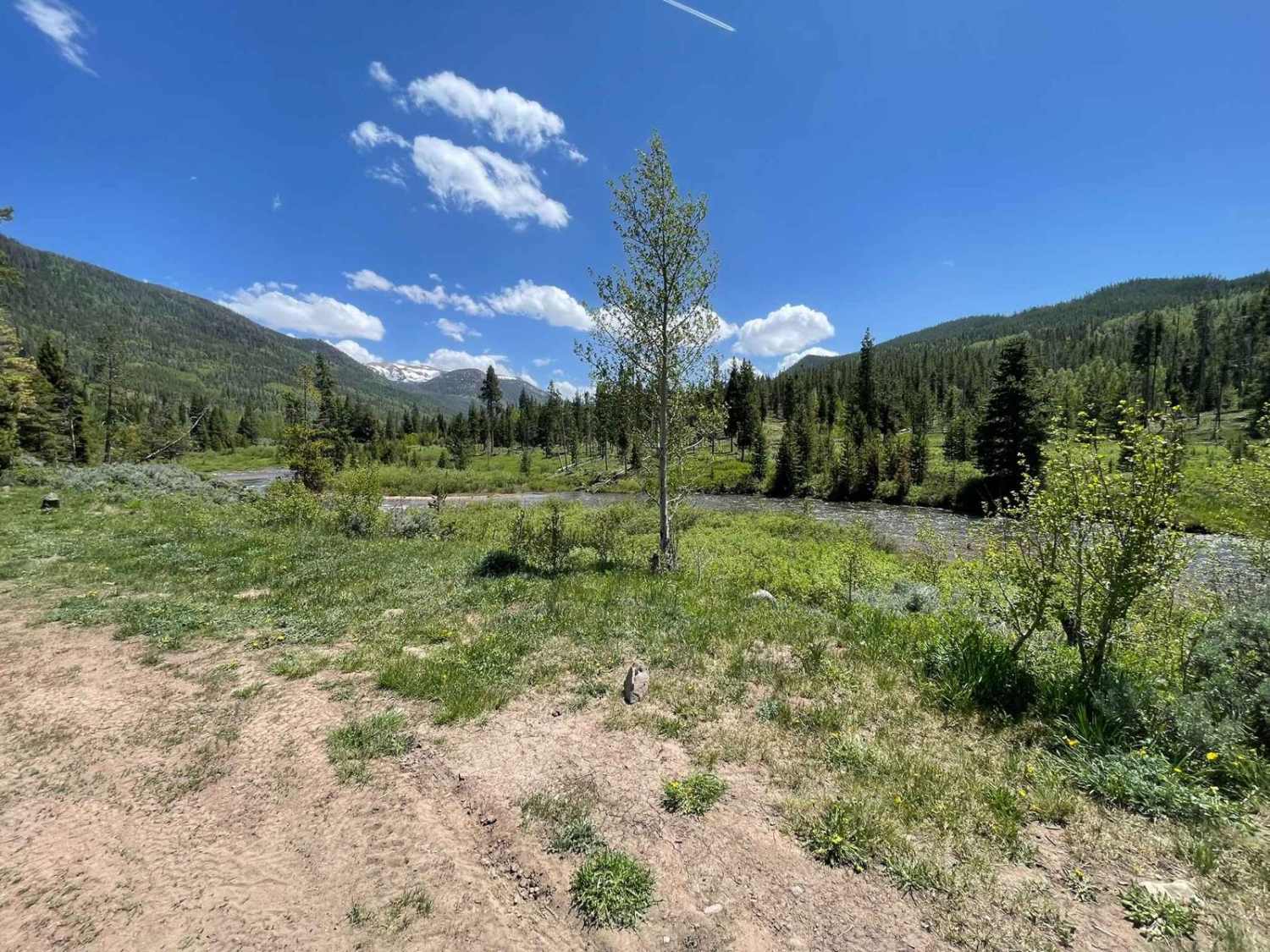
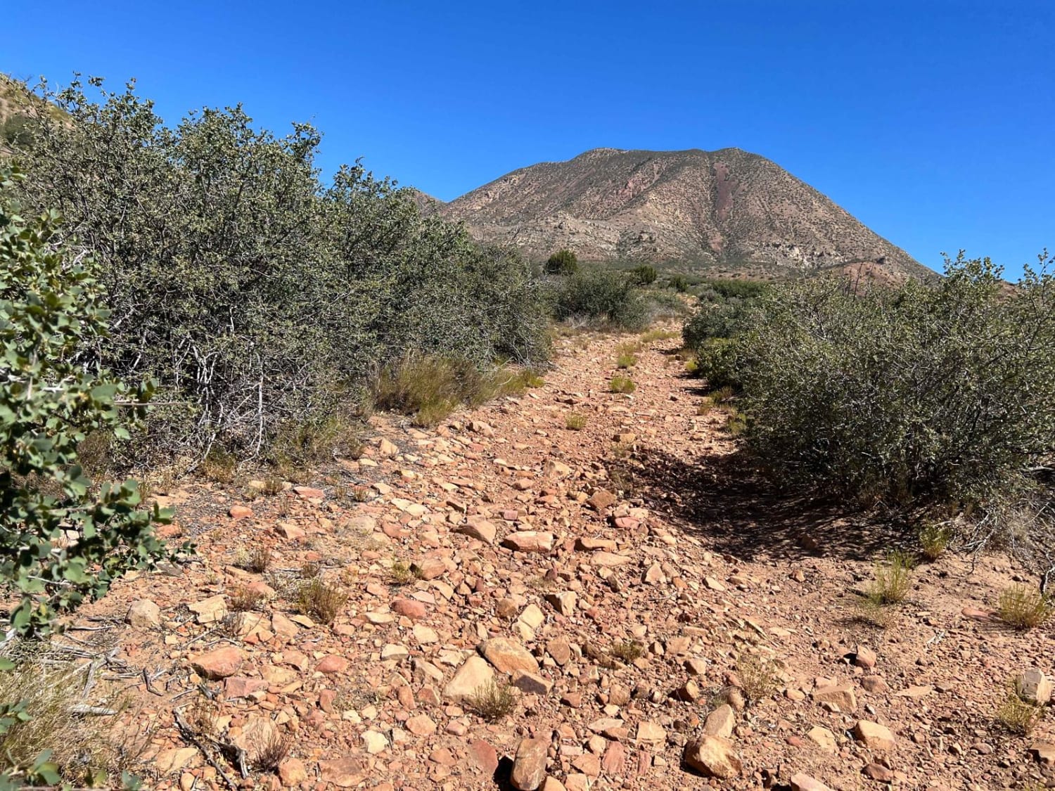
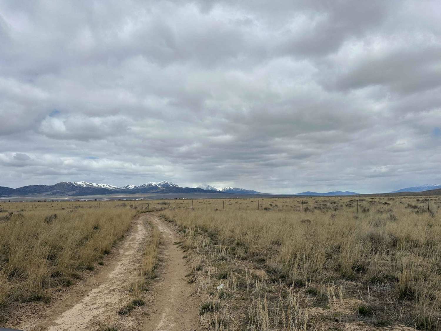
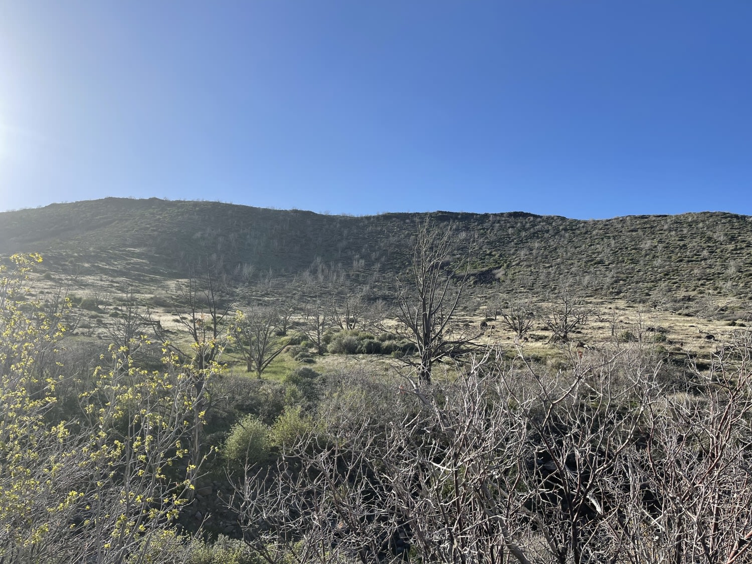
Stillwater Fork
Total Miles
4.1
Technical Rating
Best Time
Spring, Summer, Fall
Trail Type
Full-Width Road
Accessible By
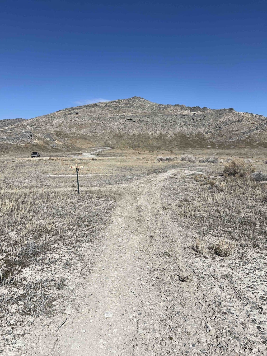
Trail Overview
This forest road is mostly graded gravel. Has some amazing views, along with side trails that can take you to Wolverine Trail to the north(if you have an ATV) or trails to the south to go down to the river. Please be aware that this entire trail is only for street legal vehicles. You do not have to be street legal for the side tails, just this main gravel road.
Photos of Stillwater Fork

Difficulty
Graded gravel road.
Status Reports

Popular Trails
Motoqua - Square Top Mountain
Canyon Carver
Poverty Flats Turn Track
The onX Offroad Difference
onX Offroad combines trail photos, descriptions, difficulty ratings, width restrictions, seasonality, and more in a user-friendly interface. Available on all devices, with offline access and full compatibility with CarPlay and Android Auto. Discover what you’re missing today!