Strawberry River Road
Total Miles
6.0
Elevation
2,518.86 ft
Duration
0.75 Hours
Technical Rating
Best Time
Fall
Trail Overview
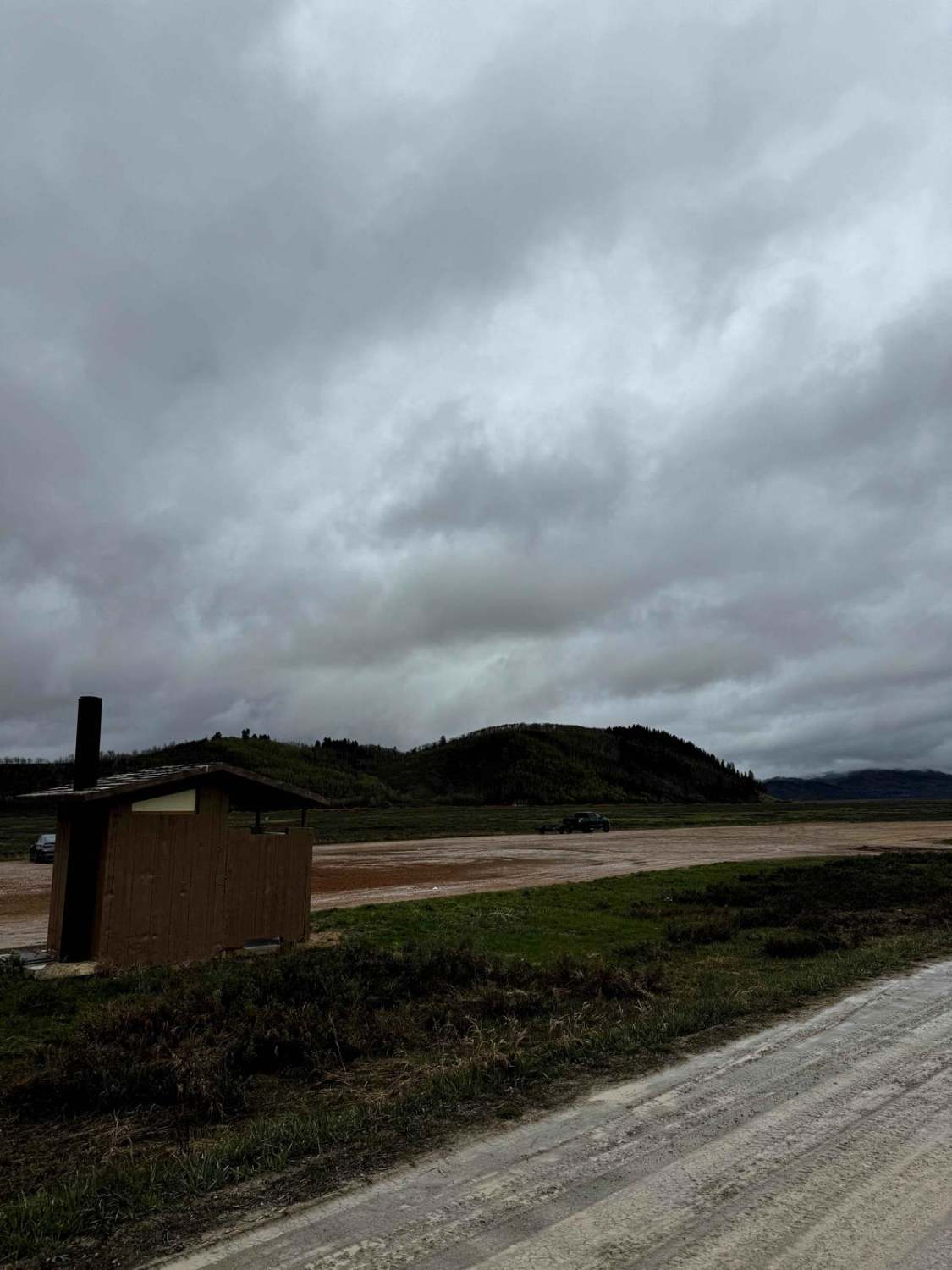
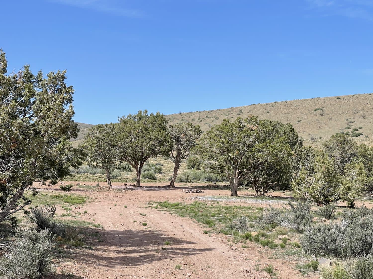
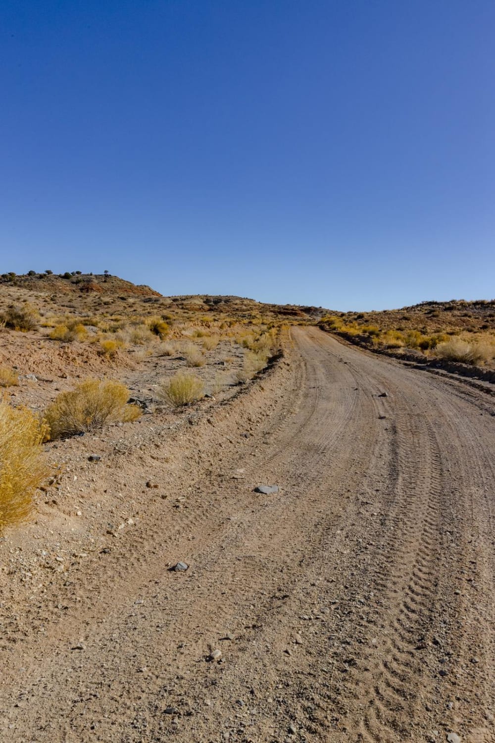
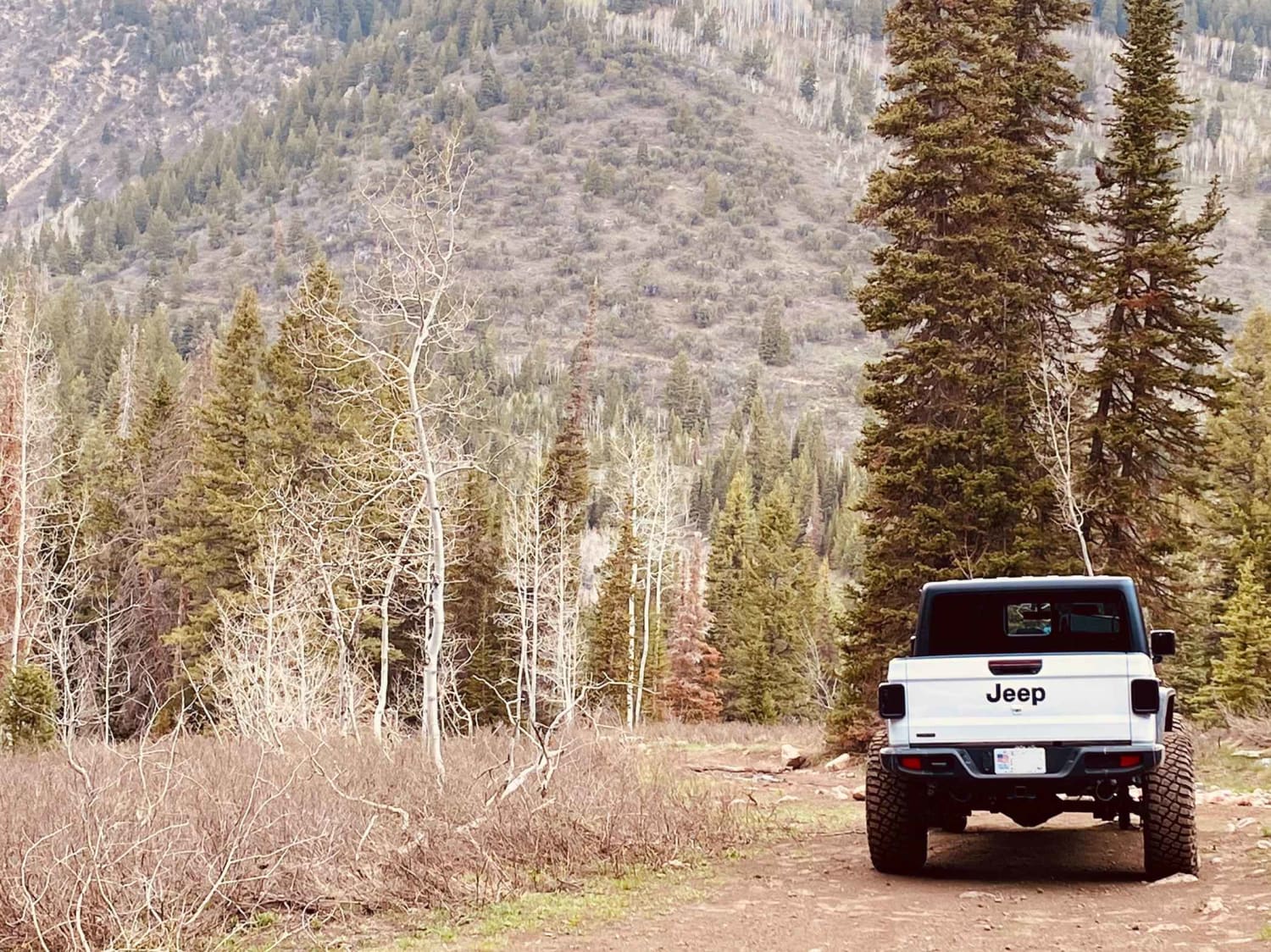
The route runs parallel to the picturesque Strawberry River, serving as a primary access point to numerous trails and branching pathways. Comprised of a hard-packed gravel surface, the road features numerous dispersed camping sites along its length. While occasional washboard textures and larger potholes punctuate the journey, the route's robust rocky foundation mitigates any risk of mud or slippery conditions, particularly evident during rainstorms. Accessible to both standard cars and SUVs, the route accommodates a diverse array of vehicles, including RVs, which are prevalent especially during holiday weekends like Memorial Day. Along the way, you will pass quite a few primitive, first-come, first-served campsites.
Photos of Strawberry River Road

Difficulty
This is a hard-packed gravel road that's plenty wide for vehicles to pass one another and easily traveled in most 2WD vehicles.
History
From Heber, continue towards Strawberry Reservoir passing through Daniel's Summit. There is a mercantile, restaurant, and general store. They sell firewood. You can go fishing, camping, and hiking in this area.
Status Reports
Popular Trails
Grapevine Wash Connector

Sheep Creek Connector ATV Trail
Segers Hole Overlook to Carlysle Wash Road
Forest Lake Trail
The onX Offroad Difference
onX Offroad combines trail photos, descriptions, difficulty ratings, width restrictions, seasonality, and more in a user-friendly interface. Available on all devices, with offline access and full compatibility with CarPlay and Android Auto. Discover what you’re missing today!