Sweetwater-NFS30494
Total Miles
2.9
Technical Rating
Best Time
Spring, Summer
Trail Type
Full-Width Road
Accessible By
Trail Overview
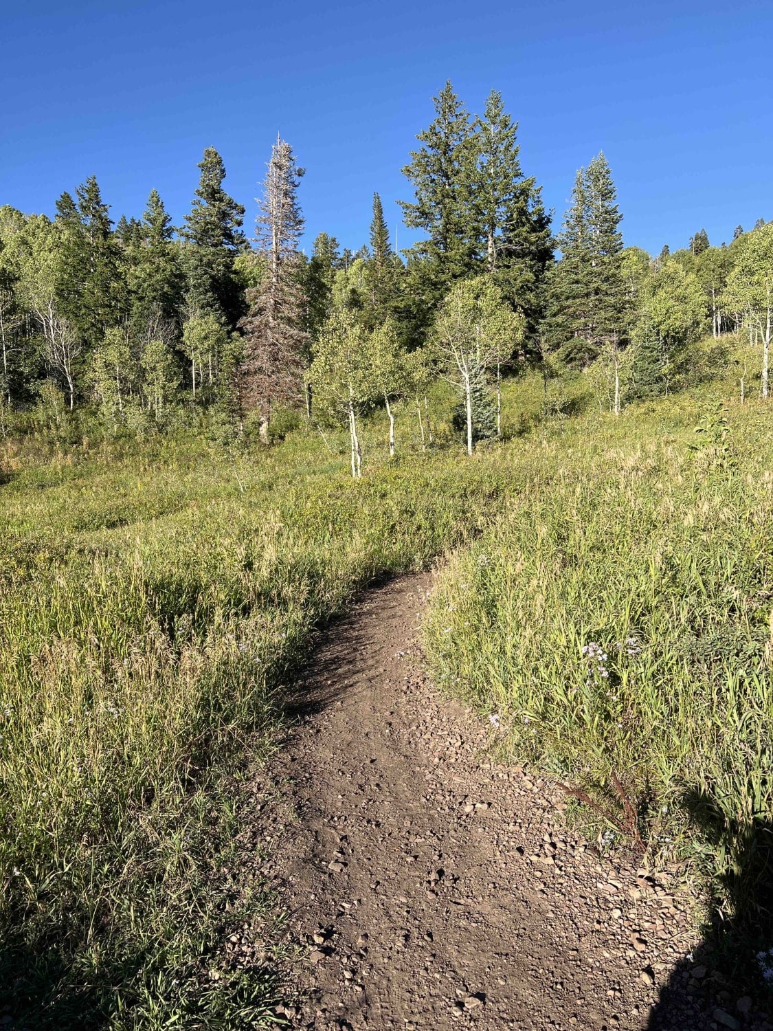
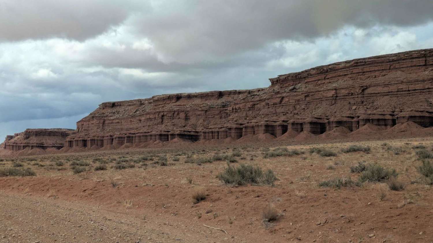
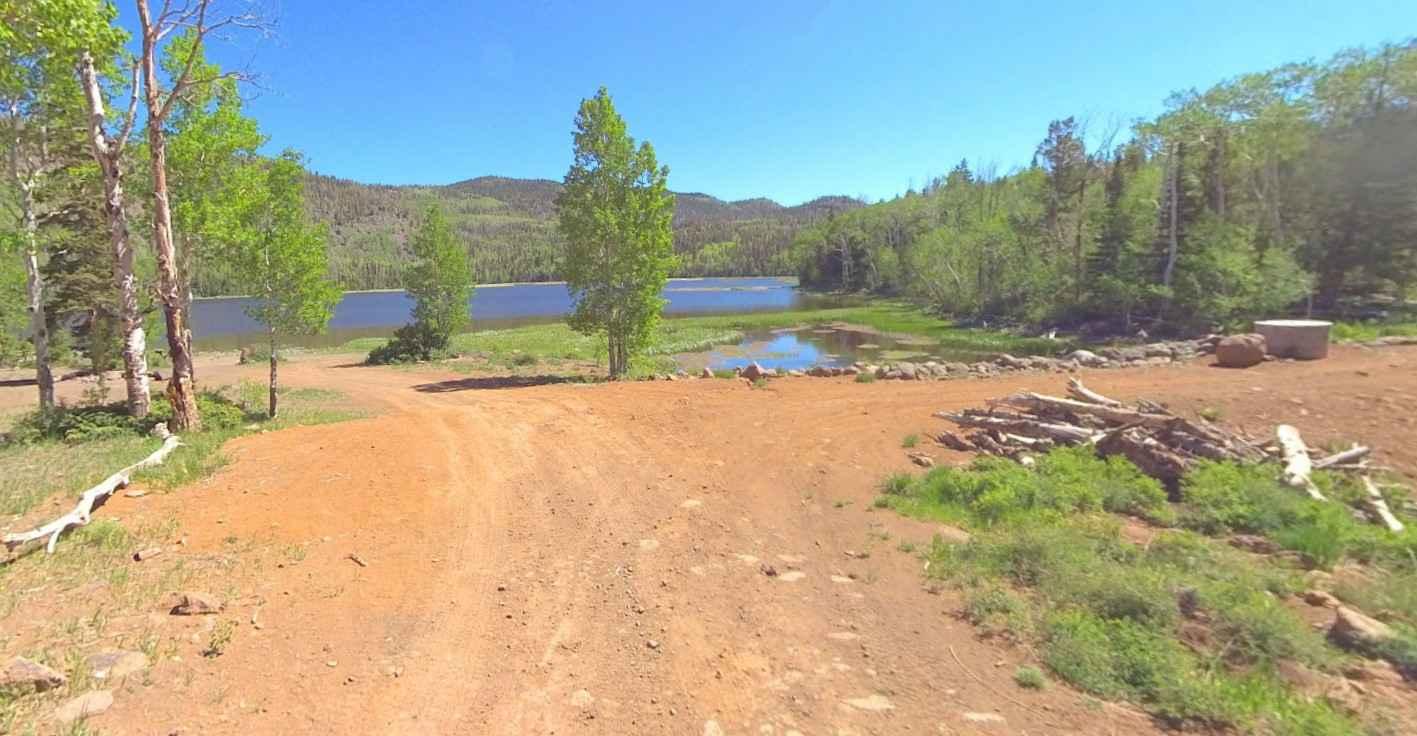
Sweetwater-NFS30494 is a 3-mile out-and-back trail rated 3 of 10 located in Garfield County, Utah, within the Escalante Ranger District of the Dixie National Forest. Sweetwater Trail is a well-identified single-track trail that provides the only motor vehicle access to McGath Lake. The first 2 miles of the trail are fairly level running through alpine meadows. The last mile is a climb of 500 feet up to the lake. As you approach the lake, the trail crosses a portion of the hiking trail for the Great Western Trail running from Arizona to Idaho. Although the trail appears to go around the lake, the motorized portion of the trail terminates at the southwest corner of the lake. This trail is only accessible in the late spring through early fall and may be closed well into summer depending upon the winter snowfall that year. Expect temperatures to be cool to cold throughout the summer months. There is no cell phone coverage and the nearest services are in Boulder.
Photos of Sweetwater-NFS30494
Difficulty
The trail consists of loose rocks, dirt, and sand with some slick rock surfaces and mud holes possible. No steps are higher than 12 inches. 4WD may be required, and aggressive tires are a plus.
Sweetwater-NFS30494 can be accessed by the following ride types:
- High-Clearance 4x4
- SUV
- SxS (60")
- ATV (50")
- Dirt Bike
Sweetwater-NFS30494 Map
Popular Trails

Ridge Connector (2216)

Fuller Bottom Road

Frank Young Canyon - FS 8097
The onX Offroad Difference
onX Offroad combines trail photos, descriptions, difficulty ratings, width restrictions, seasonality, and more in a user-friendly interface. Available on all devices, with offline access and full compatibility with CarPlay and Android Auto. Discover what you’re missing today!


