Teah Flat Trail
Total Miles
2.3
Technical Rating
Best Time
Spring, Summer, Fall
Trail Type
50" Trail
Accessible By
Trail Overview
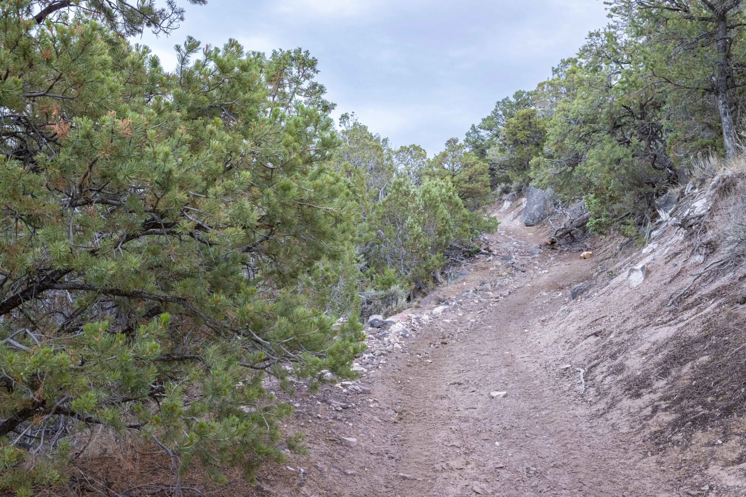
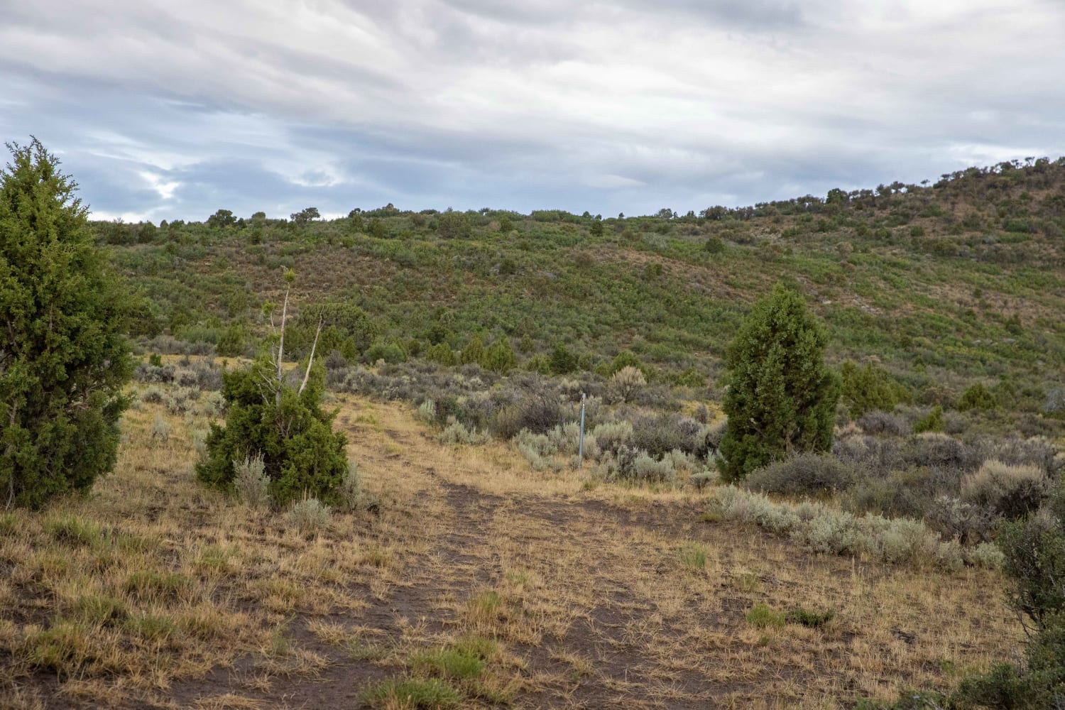
Teah Flat trail can be accessed via the Scorups Meadow road on the West end or the Lower Rocks road on the East. The trail traverses Sage Brush flats, a small draw filled with boulders and Cedar trees. There are several tight turns and rocky areas making for a bumpy ride at times. Although it's not a log trail, it is fun and allows access into some prime elk and deer country.
Photos of Teah Flat Trail
Difficulty
The majority of the trail has a difficulty of 3. There are several areas with large loose rocks that can be a bit tricky and test your clearance and suspension.
Status Reports
Teah Flat Trail can be accessed by the following ride types:
- ATV (50")
- Dirt Bike
Teah Flat Trail Map
Popular Trails
Pahvant Butte Loop
Basin Twister

Turkey Road to Lone Pine
Franklin Basin Road
The onX Offroad Difference
onX Offroad combines trail photos, descriptions, difficulty ratings, width restrictions, seasonality, and more in a user-friendly interface. Available on all devices, with offline access and full compatibility with CarPlay and Android Auto. Discover what you’re missing today!
