Timber Canyon Trail
Total Miles
18.0
Technical Rating
Best Time
Summer, Fall
Trail Type
Full-Width Road
Accessible By
Trail Overview
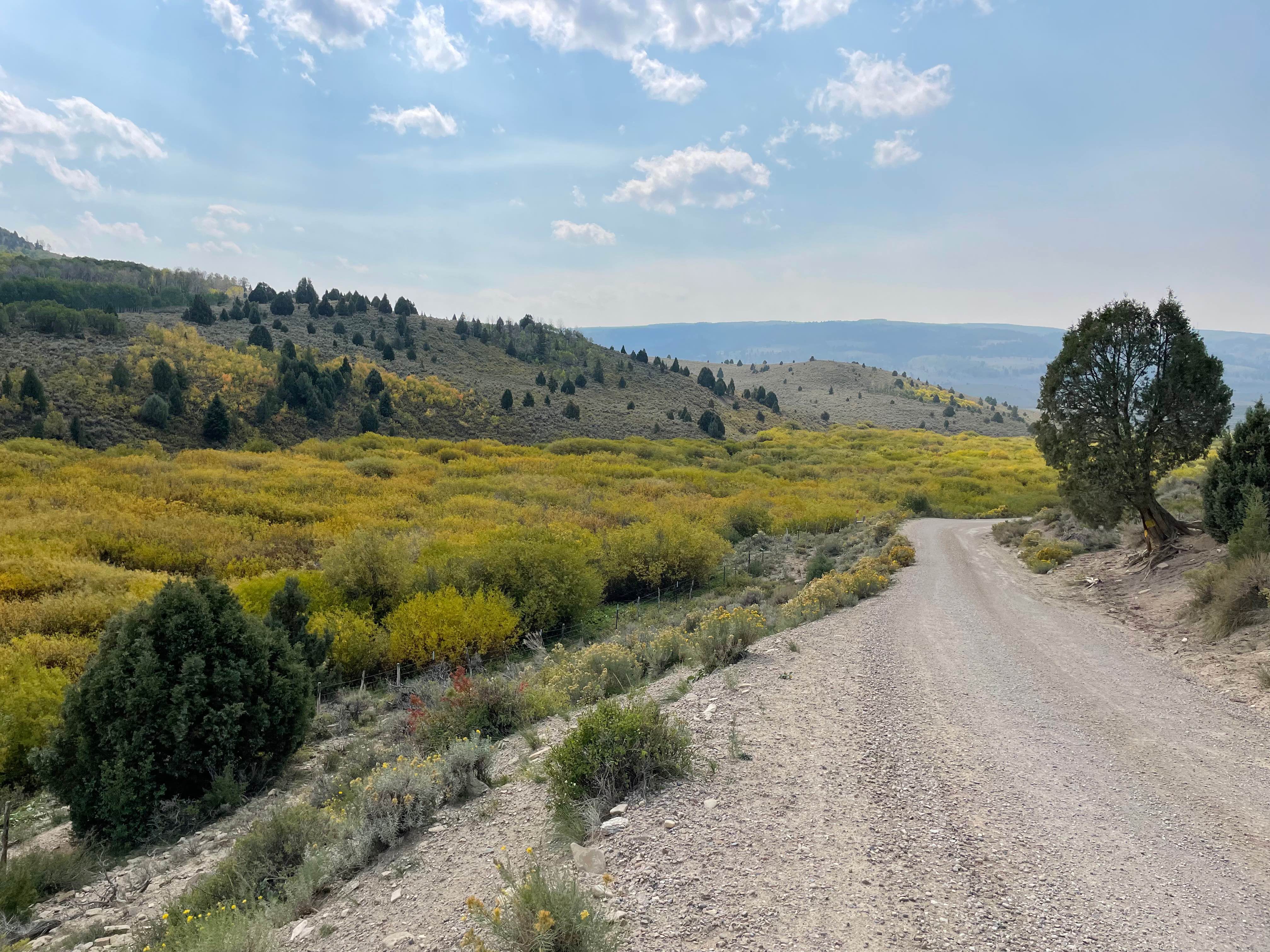
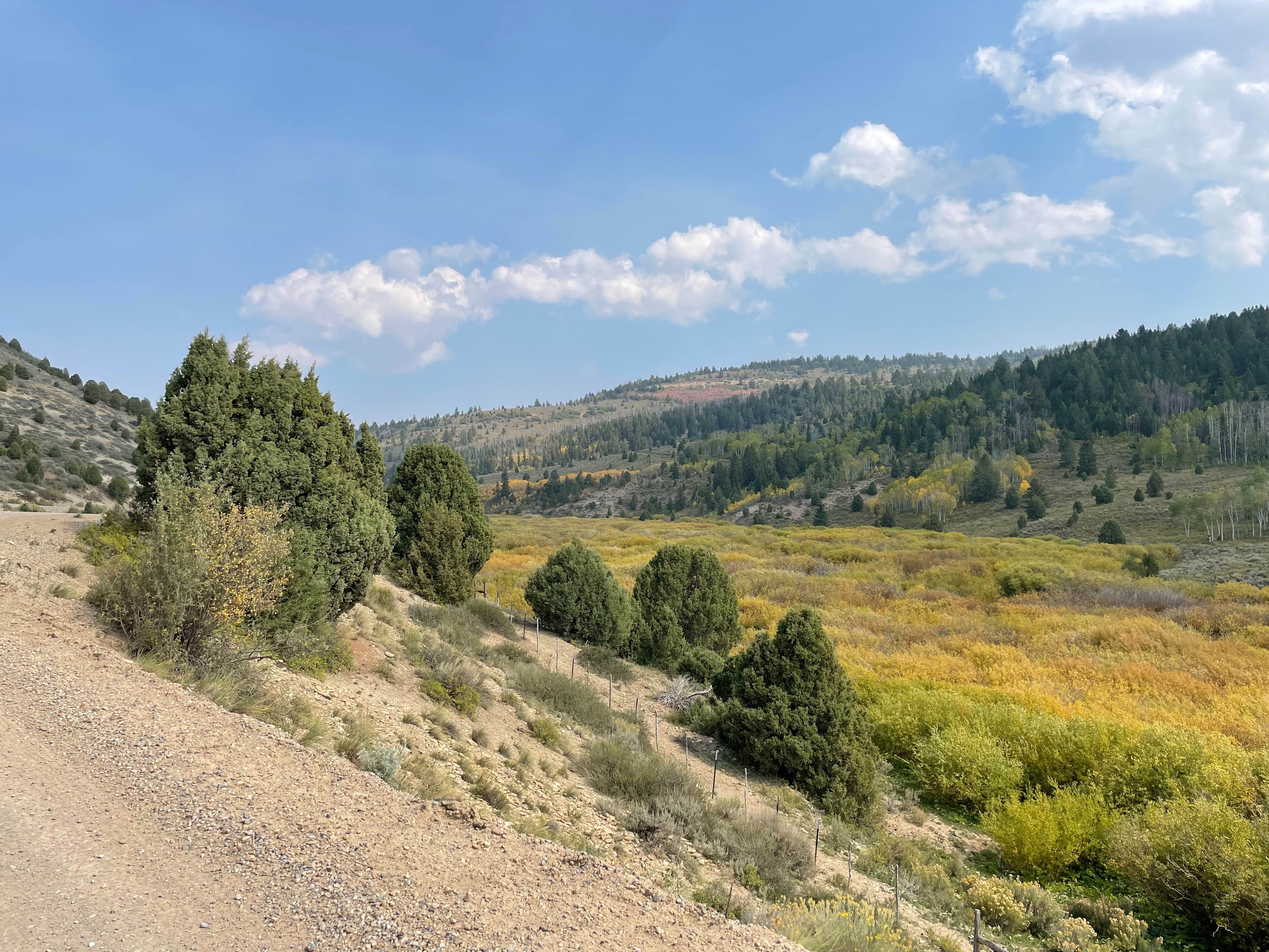
Scenic, relaxing route connecting Hwy 6 (near Soldier Summit) to Hwy 40 (near Duchesne). Trail follows the Right Fork of the White River early on, and the Strawberry River toward the end.Scenery includes dramatic rocky canyon walls, evergreens and aspen trees. Route crosses National Forest with side-roads to explore and camping opportunities.
Photos of Timber Canyon Trail
Difficulty
Generally very well maintained trail surface, but can be impassible during heavy rain or in early Spring.
History
Please note Private Property signs, in certain areas, and respect the trail accordingly.
Status Reports
Timber Canyon Trail can be accessed by the following ride types:
- High-Clearance 4x4
- SUV
- SxS (60")
- ATV (50")
- Dirt Bike
Timber Canyon Trail Map
Popular Trails
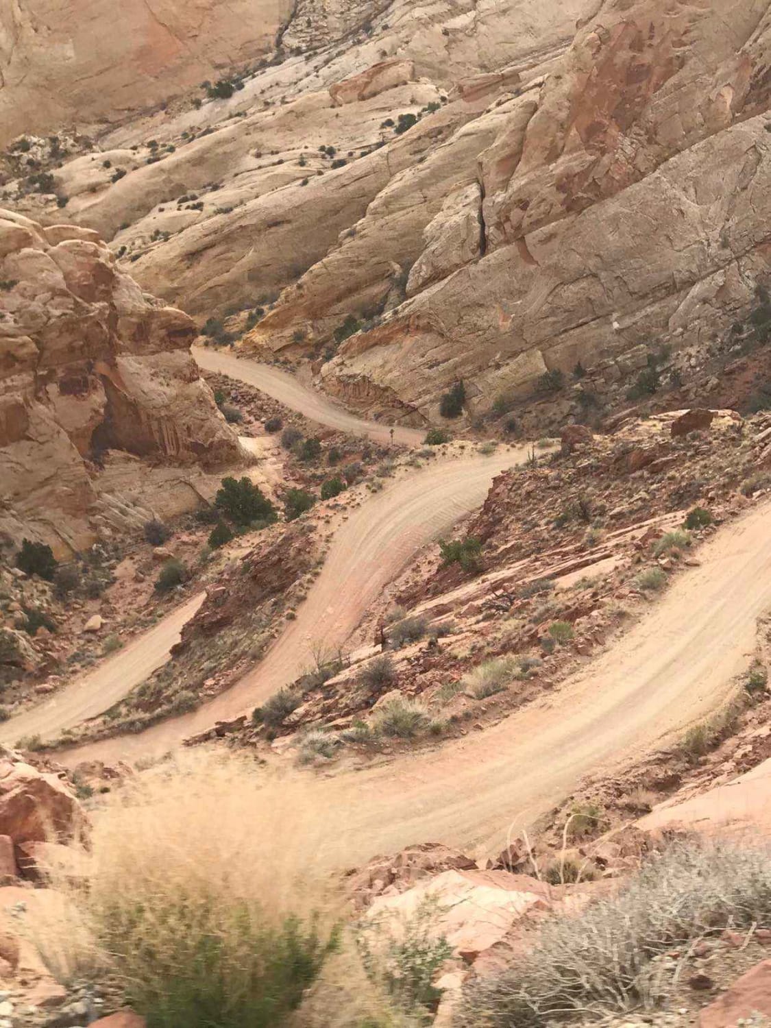
Burr Trail Switchbacks
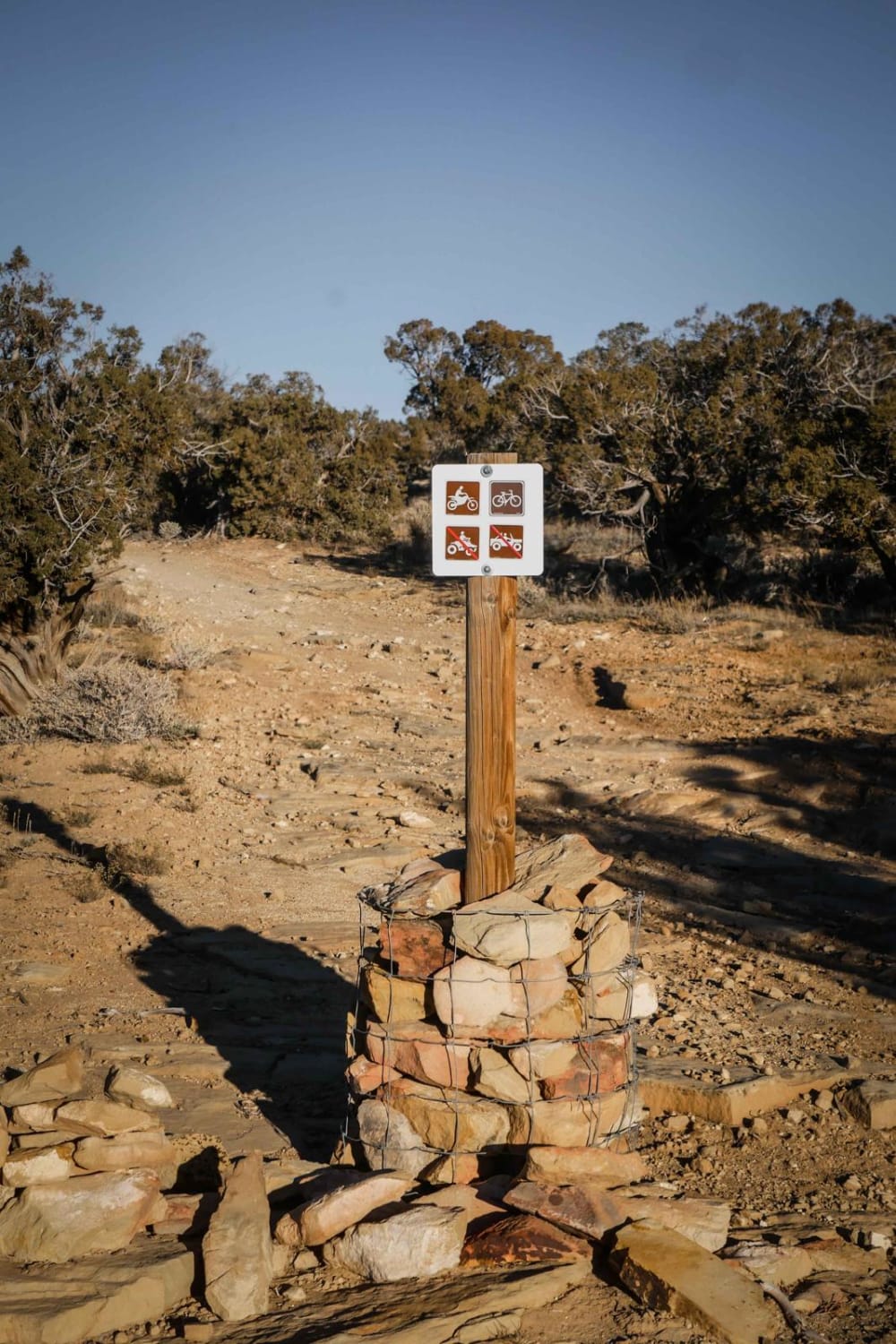
Overlook Trail Part 1
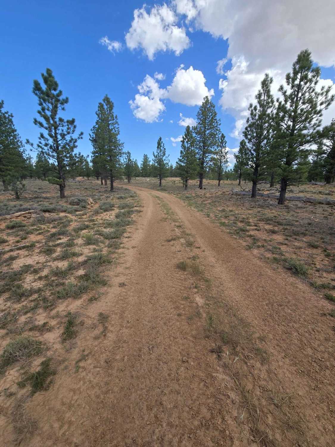
Local Trail (FSR 33653/33652)
The onX Offroad Difference
onX Offroad combines trail photos, descriptions, difficulty ratings, width restrictions, seasonality, and more in a user-friendly interface. Available on all devices, with offline access and full compatibility with CarPlay and Android Auto. Discover what you’re missing today!
