Top of the World Loop
Total Miles
13.9
Technical Rating
Best Time
Spring, Summer, Fall
Trail Type
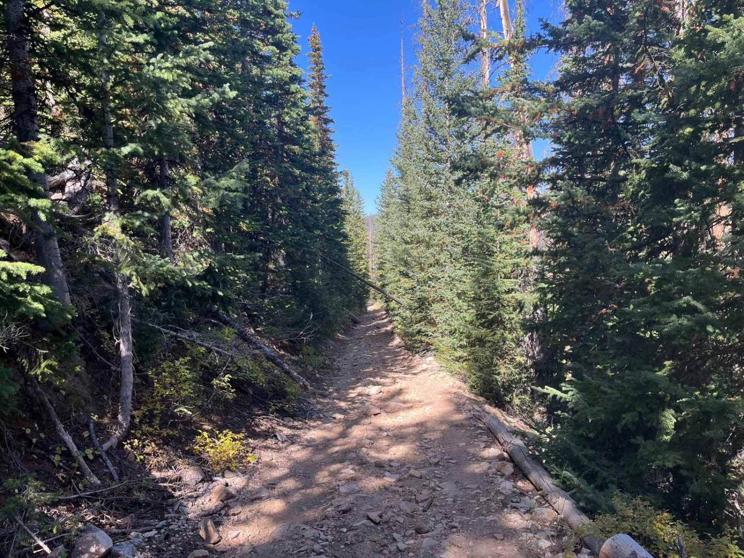
Full-Width Road
Accessible By
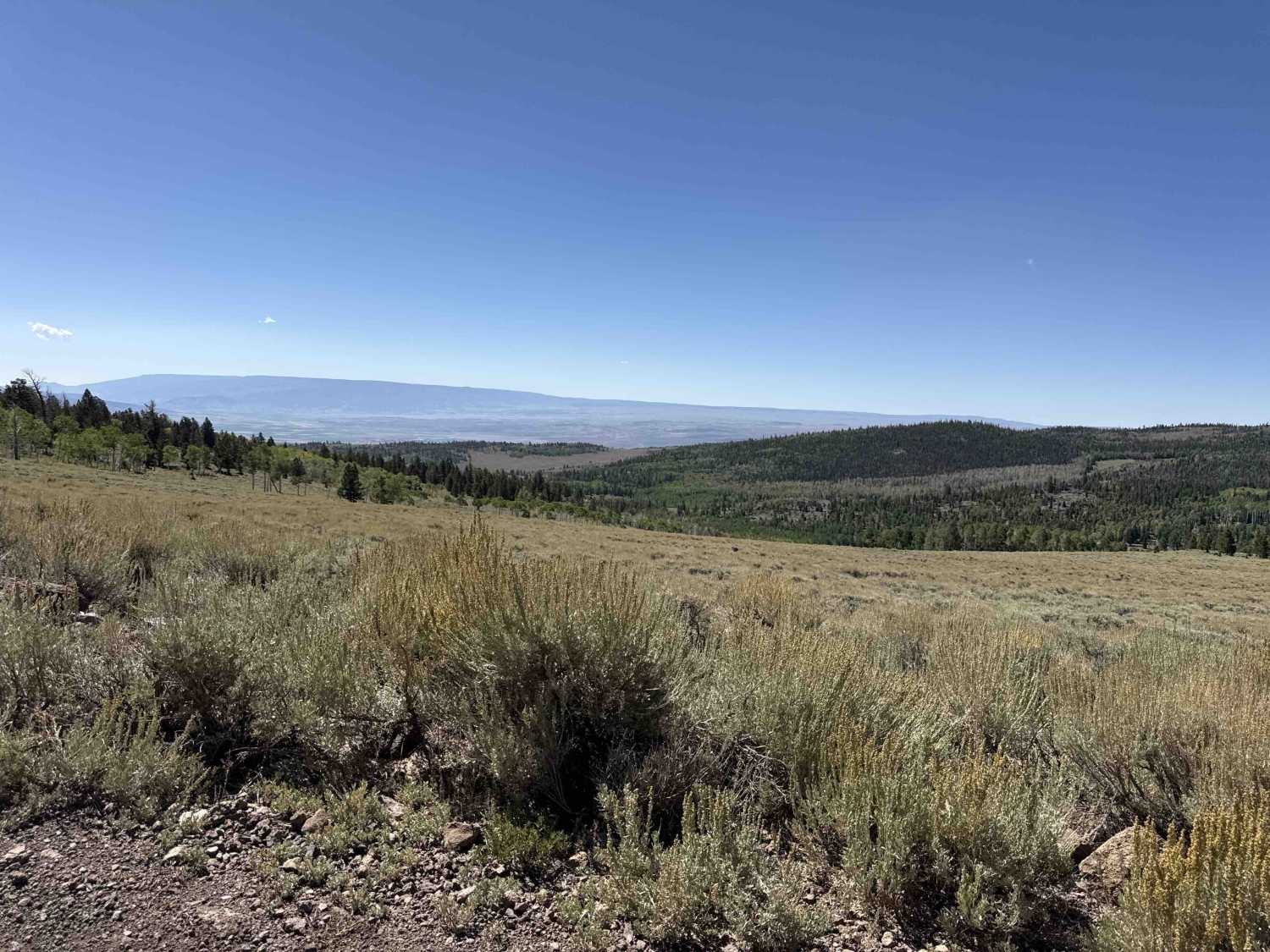
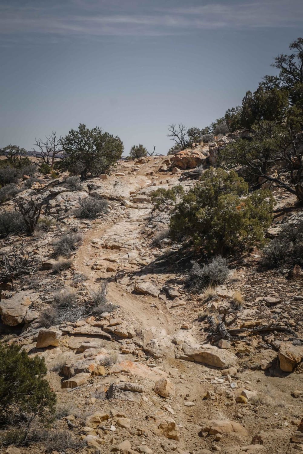
Trail Overview
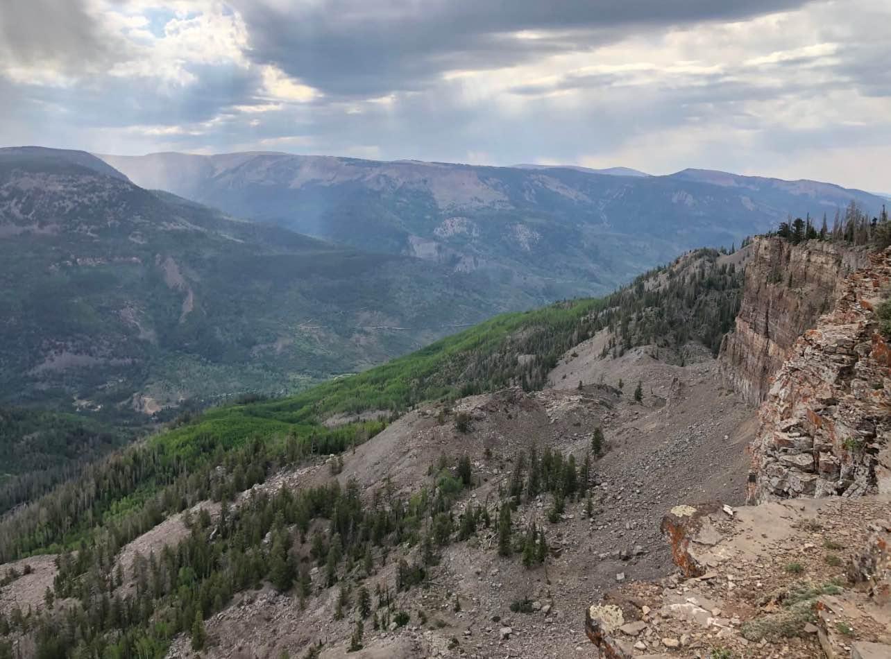
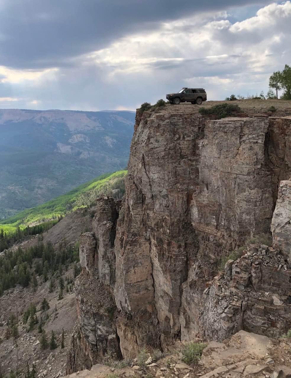
Top of the World is a very popular trail located owithin the Unita National Forest. It's relatively easy and the scenery factor is very high. It's also easily done in a half day, making it a good shorter option. The trail ends, dramatically, on the brink of a huge cliff.
Photos of Top of the World Loop
Difficulty
This is an easy trail unless there is recent rain or snow.
Status Reports
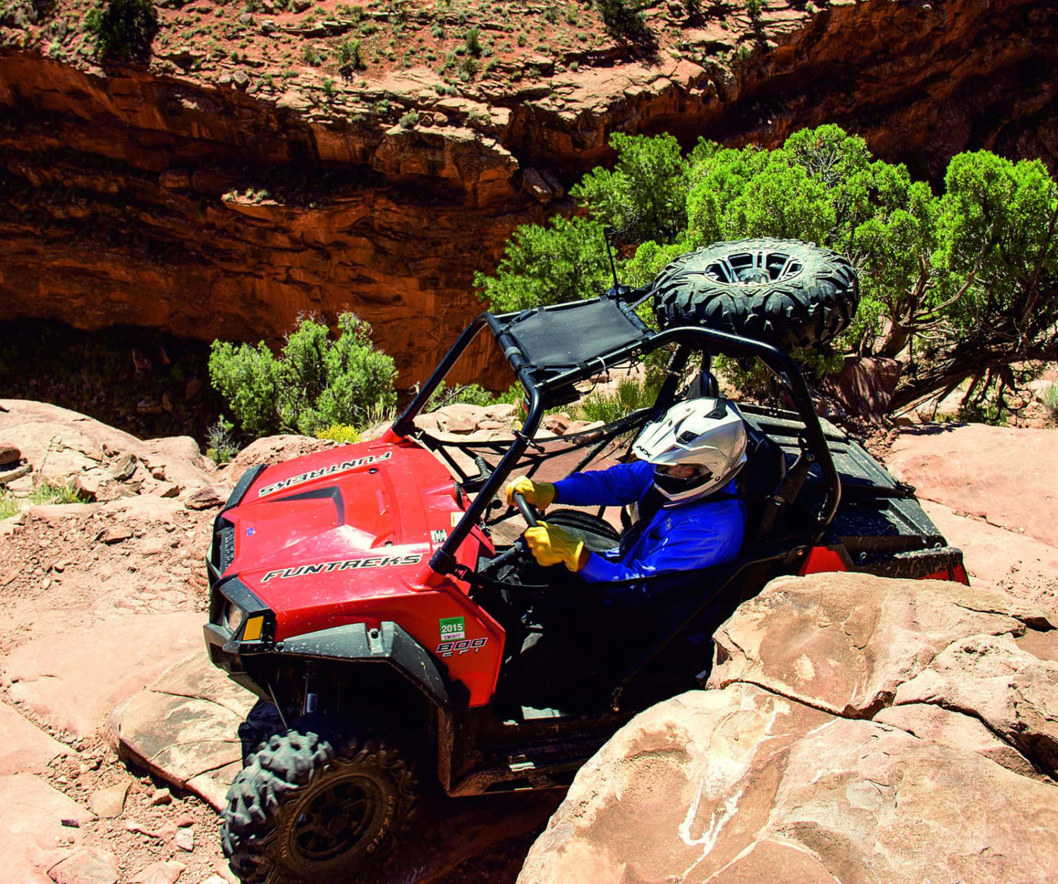
Top of the World Loop can be accessed by the following ride types:
- High-Clearance 4x4
- SUV
- SxS (60")
- ATV (50")
- Dirt Bike
Top of the World Loop Map
Popular Trails
Flat Iron Mesa
Orange Trail
The onX Offroad Difference
onX Offroad combines trail photos, descriptions, difficulty ratings, width restrictions, seasonality, and more in a user-friendly interface. Available on all devices, with offline access and full compatibility with CarPlay and Android Auto. Discover what you’re missing today!