UM Pass Trail
Total Miles
17.1
Technical Rating
Best Time
Spring, Summer, Fall
Trail Type
50" Trail
Accessible By
Trail Overview
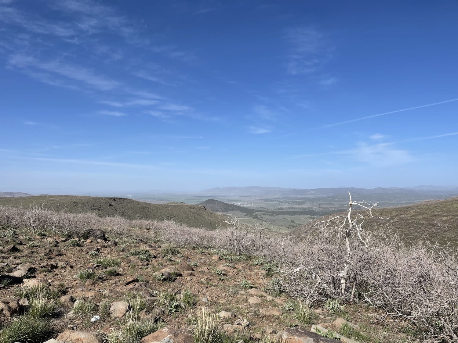
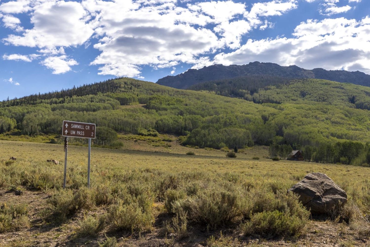
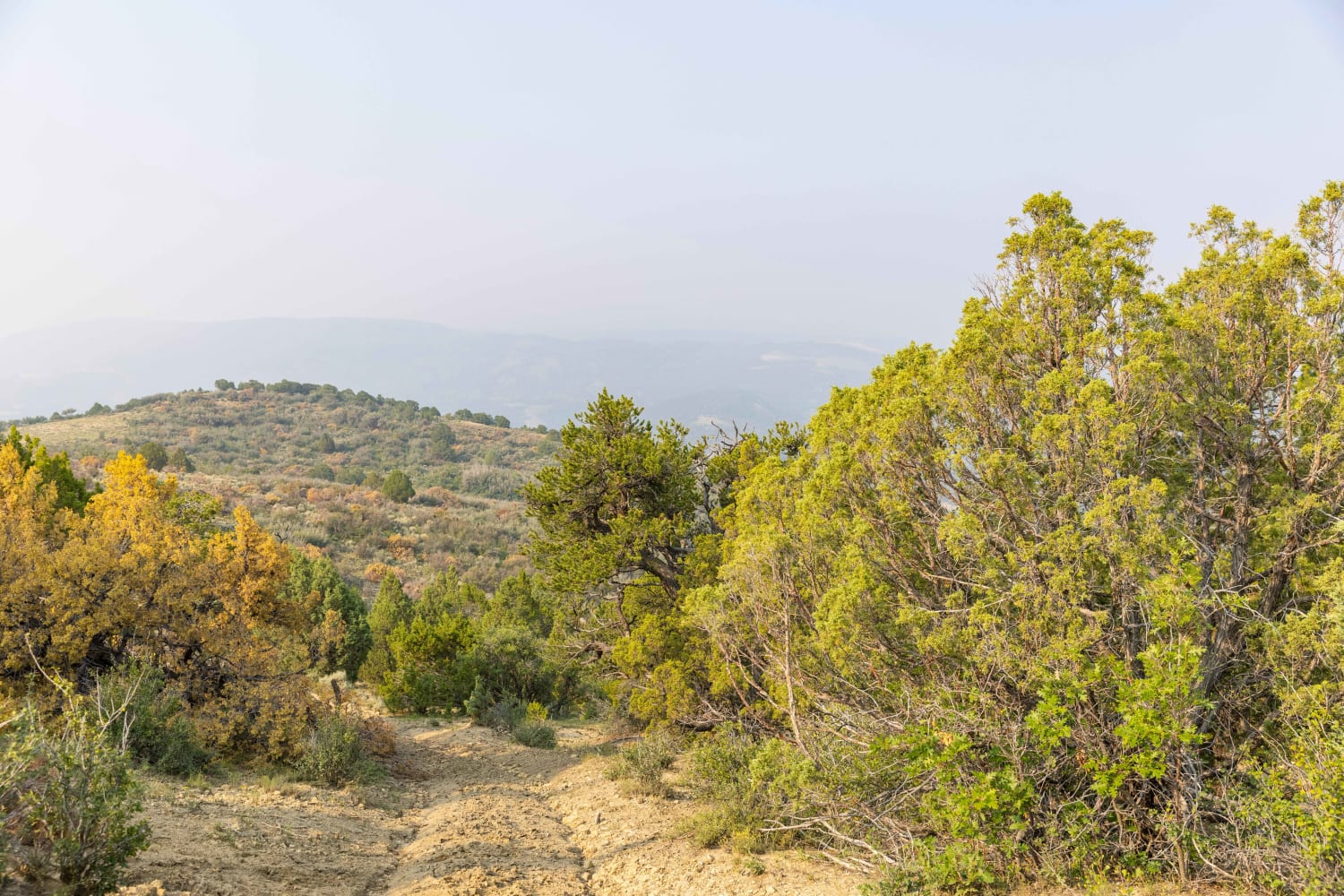
UM Pass trail is accessed via Gooseberry Road. It passes between Mt. Terrill and Mt. Marvine. If crossing the pass from the west, the trail will turn north heading towards Gooseberry. There are many vistas along the way. The area is covered in pine, aspen and scrub oak. Mule deer and elk may be seen along the way.
Photos of UM Pass Trail
Difficulty
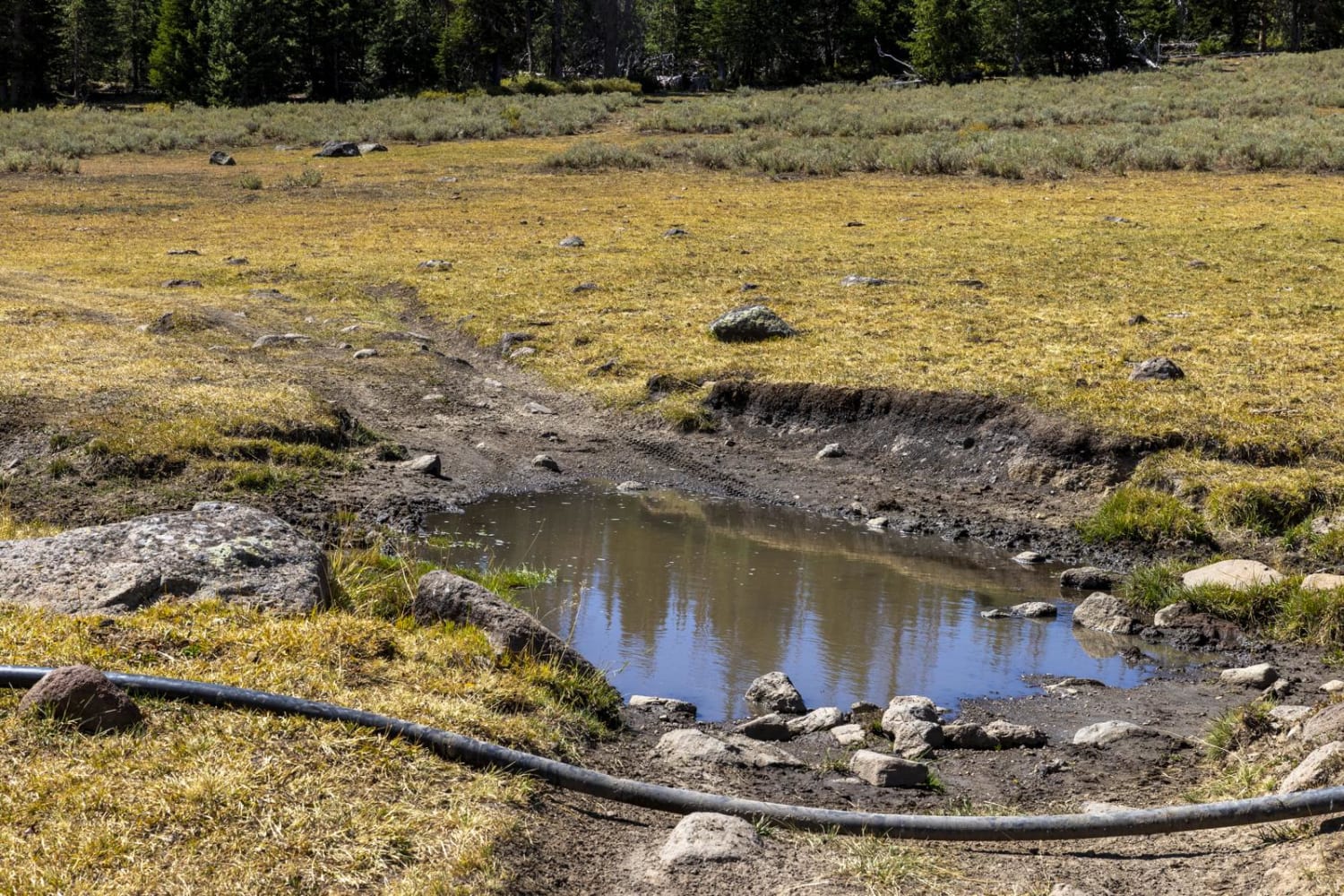
Overall the trail is easy. There are times when the trail has ruts after a heavy rain, or in early spring. Some areas are covered, uneven or rocky.
Status Reports
UM Pass Trail can be accessed by the following ride types:
- ATV (50")
- Dirt Bike
UM Pass Trail Map
Popular Trails

Waterline Road-BLM30086

Hog Canyon 1 East - Mosdell Hill+ (BLM HC1Z)

Upper FAA Road
The onX Offroad Difference
onX Offroad combines trail photos, descriptions, difficulty ratings, width restrictions, seasonality, and more in a user-friendly interface. Available on all devices, with offline access and full compatibility with CarPlay and Android Auto. Discover what you’re missing today!


