Upper Basin Road
Total Miles
10.1
Technical Rating
Best Time
Spring, Fall
Trail Type
Full-Width Road
Accessible By
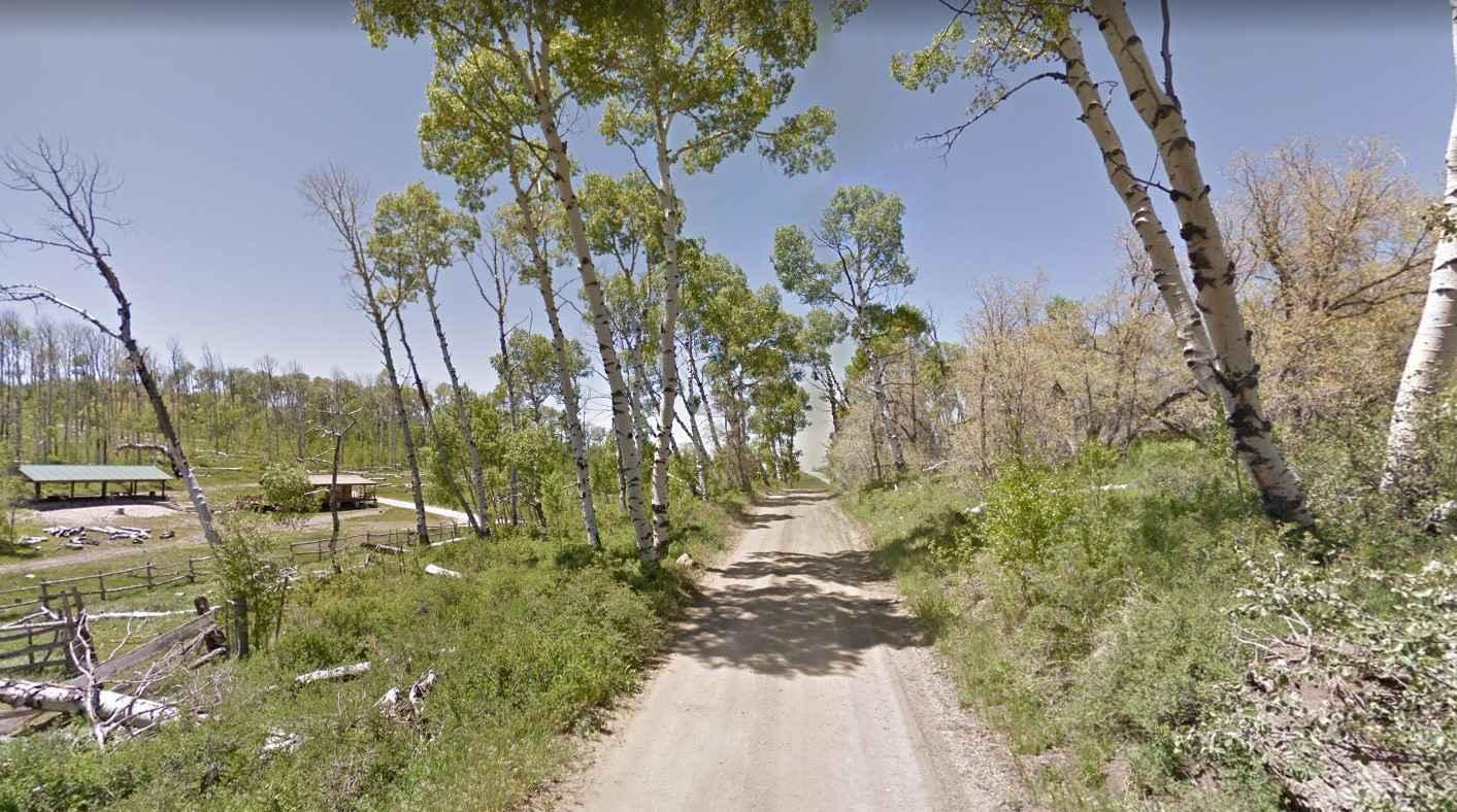
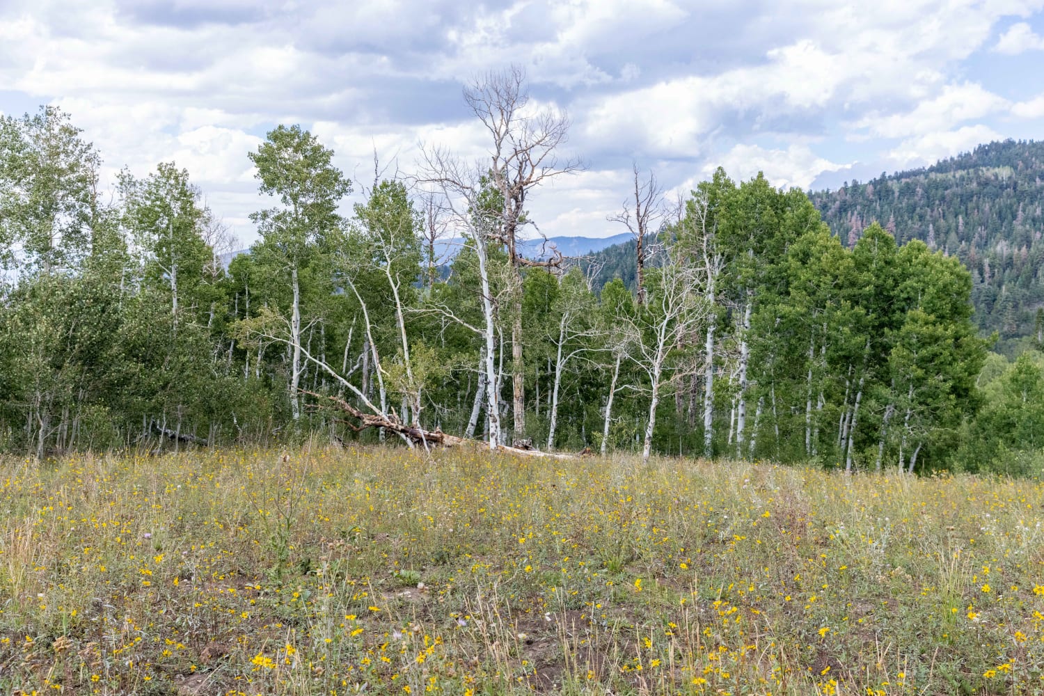
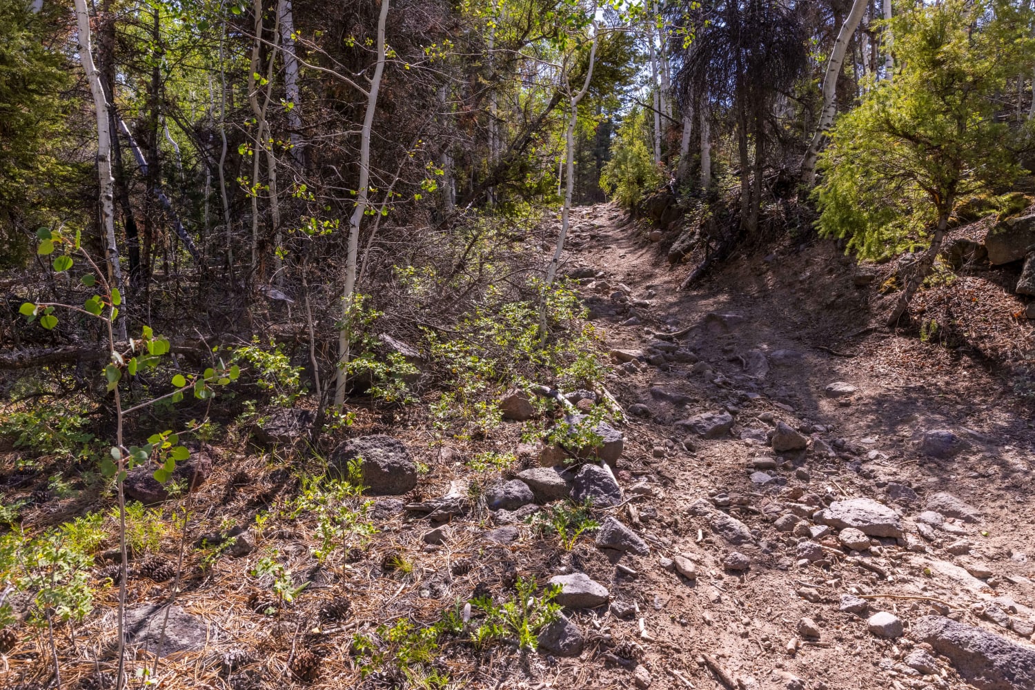
Trail Overview
The Upper Basin Road is an improved dirt road that is rated 2 out of 10 that crosses a section of the Kolob Terrace. The southern end of the road starts at the north end of the Kolob Reservoir at the Kolob Road. The road progresses west around the lake and north across Bean Hill and Lee Point. During the late spring, the Alpine Meadows will bloom with purple, blue, and yellow wildflowers. In early fall the leaves will start changing color and rival anywhere in the nation for beauty and landscape. The road crests at 8700 feet near the intersection with Kannara Mountain Road. The Kolob Terrace is a primitive area and there are no services so be prepared with water, a spare, and other items you might need if you break down. Due to snow fall the road is usually closed in November and does not open back up until June.
Photos of Upper Basin Road

Difficulty
County dirt road with infrequent or light maintenance after rain or snow, high clearance light duty 4WD may be required.

Popular Trails
Olsen - Clear Creek Trail
Blind Lake Trail

Lily Lake Road
The onX Offroad Difference
onX Offroad combines trail photos, descriptions, difficulty ratings, width restrictions, seasonality, and more in a user-friendly interface. Available on all devices, with offline access and full compatibility with CarPlay and Android Auto. Discover what you’re missing today!