Upper Warner Ridge
Total Miles
7.4
Elevation
1,039.35 ft
Duration
0.75 Hours
Technical Rating
Best Time
Winter, Fall, Summer, Spring
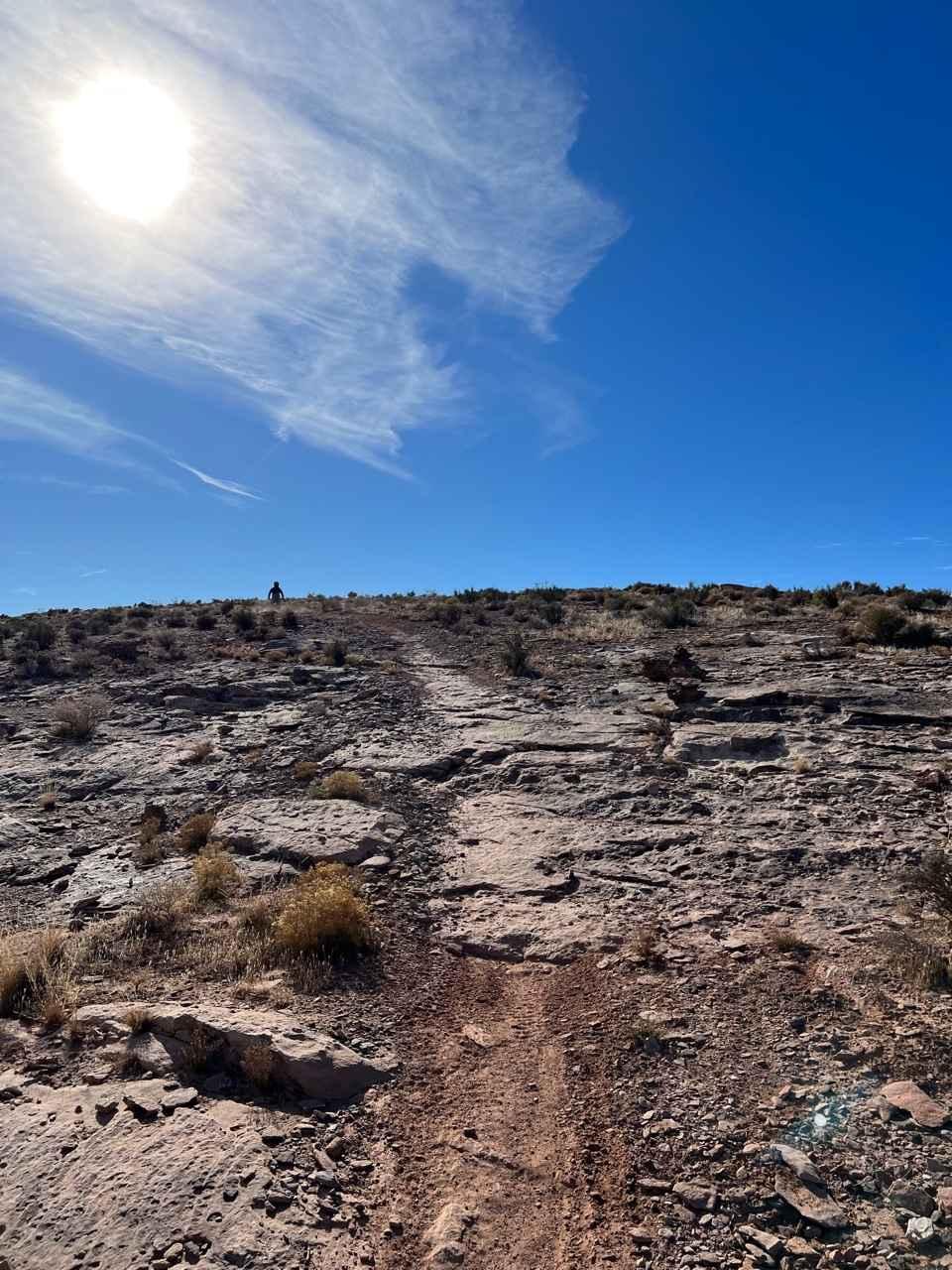
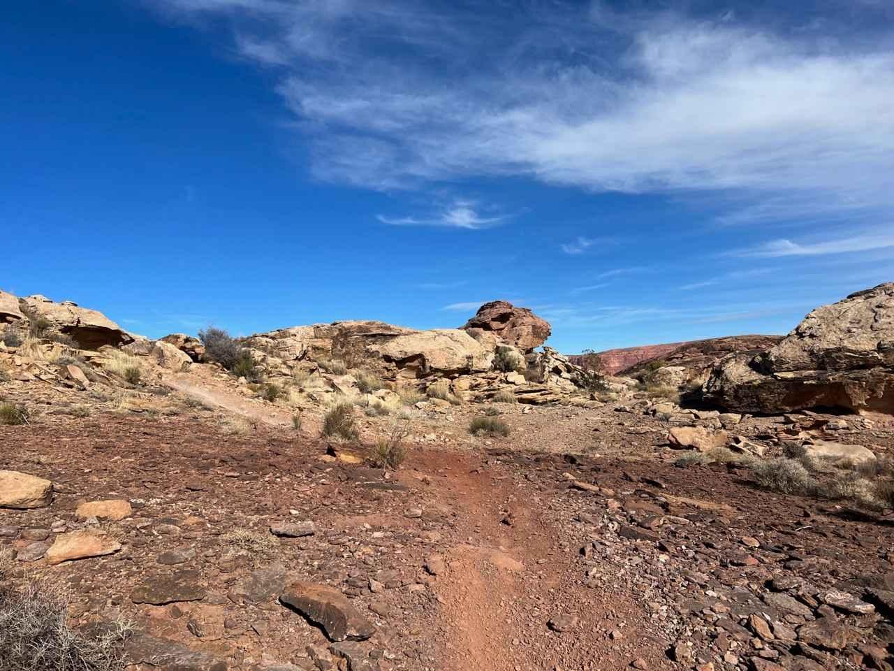
Trail Overview
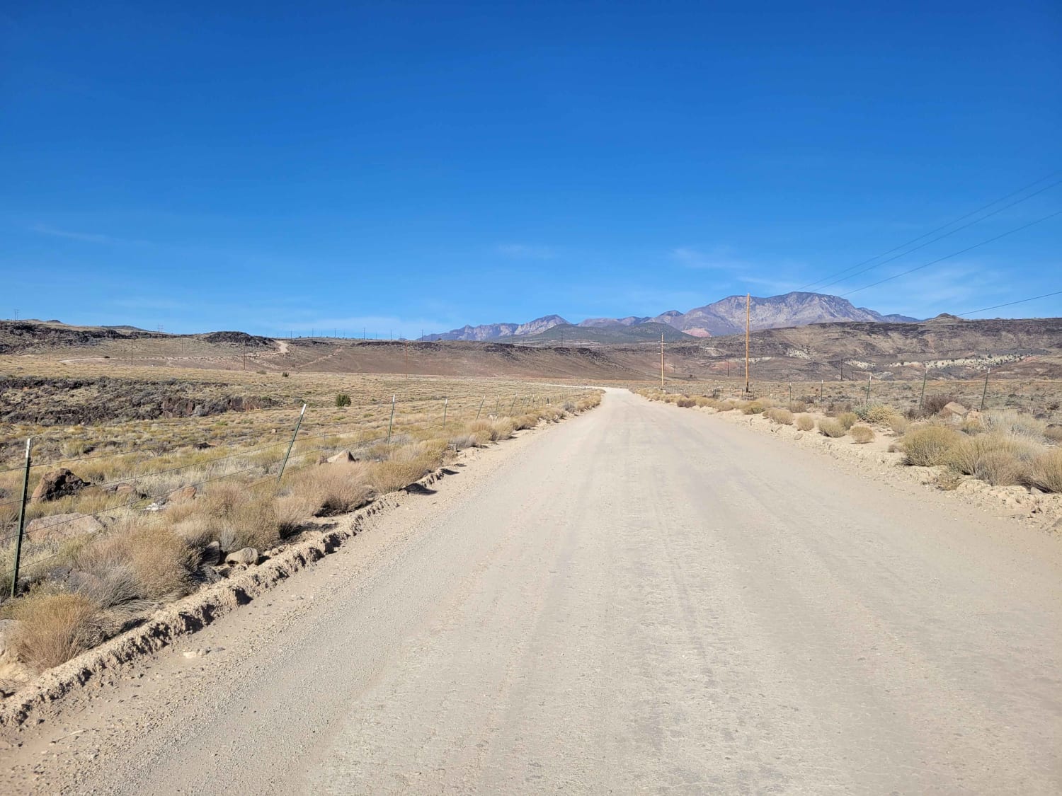
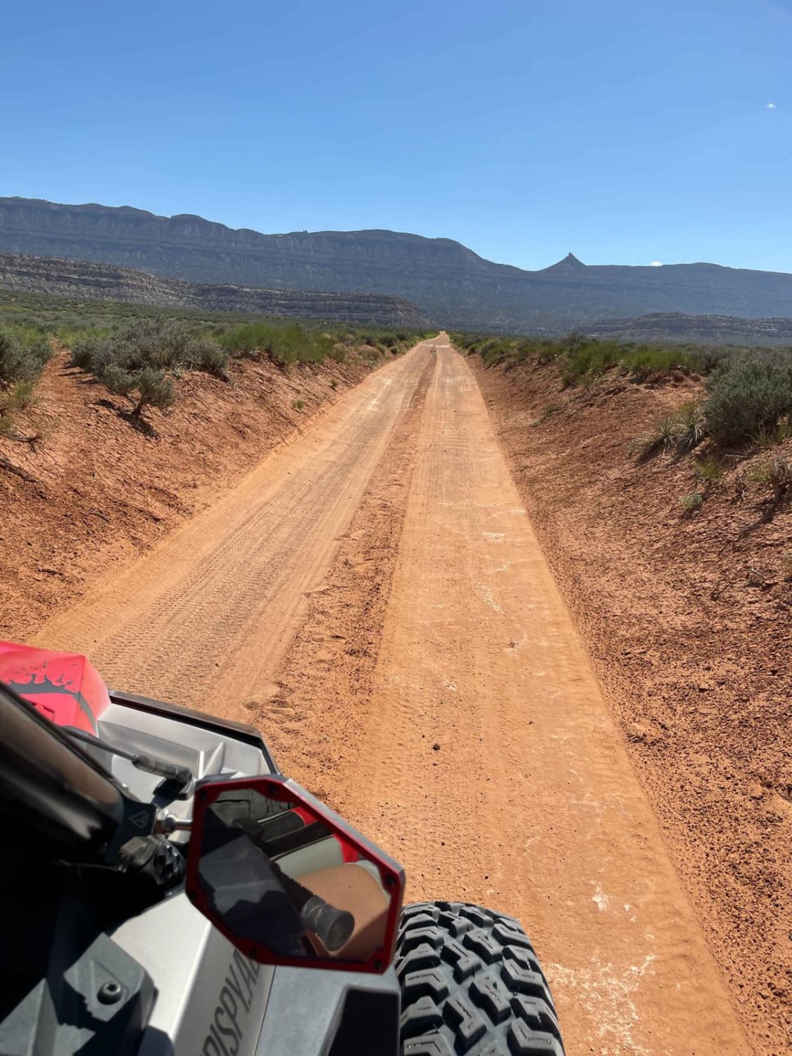
Upper Warner Ridge begins South of the Pipeline Road parking lot and runs 7.5 miles southeast. The trail terminates near the intersection of Warner Valley and East Mesa Overlook roads, near the Fort Pearce ruins. The ground surface is a mix of hard-packed dirt, large boulders, and embedded rock slabs. While there are some high speed sections, it's mostly a 1st or 2nd gear ride with lots of rock obstacles. There are many shorter rock ledges (2-3 feet) which you must ride up or down. Several ledges and narrow trail sections are on the edge of the ridge, with exposure to a several-hundred-foot cliff on one side. Multiple side hits and extra credit options branch off from this route.
Photos of Upper Warner Ridge
Difficulty
This trail features many rock obstacles which are up to 3 feet high. Some obstacles are right on the edge of the Warner Ridge cliff; use extreme caution. The exposure raises the trail difficulty rating.
Status Reports
Popular Trails
Beaver Creek Ridge Trail
Wolverine Loop Road - 0640
Batty Pass Caves
The onX Offroad Difference
onX Offroad combines trail photos, descriptions, difficulty ratings, width restrictions, seasonality, and more in a user-friendly interface. Available on all devices, with offline access and full compatibility with CarPlay and Android Auto. Discover what you’re missing today!