Veyo Volcano
Total Miles
5.8
Technical Rating
Best Time
Spring, Summer, Fall
Trail Type
Full-Width Road
Accessible By
Trail Overview
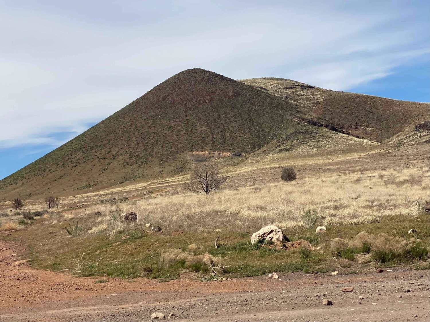
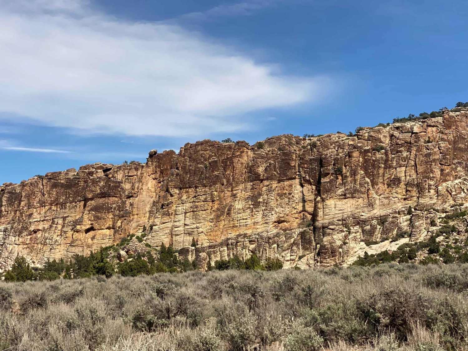
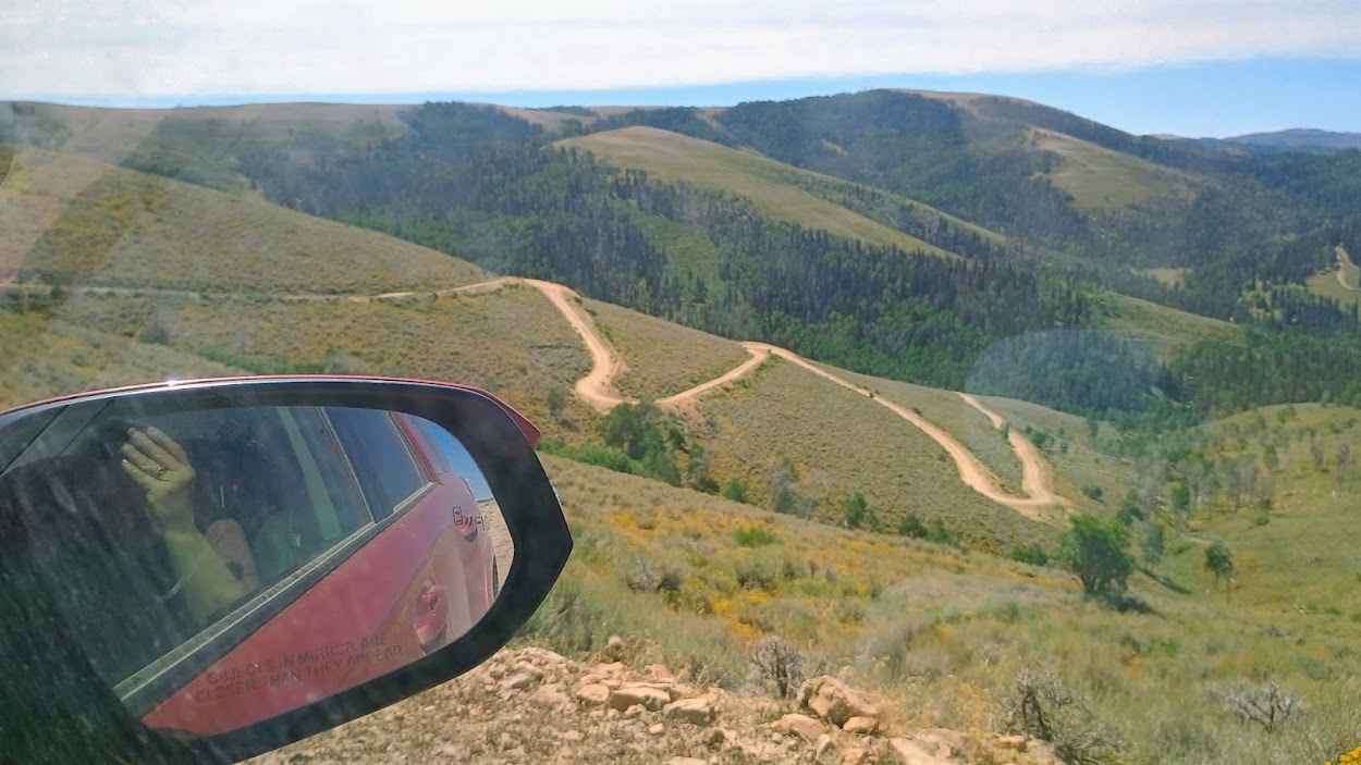
Connector between trails on the east side of Veyo, and trails into the National Forest near Gunlock State Park. Easy road with some sites of interest including Veyo Volcano which is an intact cinder cone, Upper Sand Cove Dam; a decently trafficked rock climbing area, and borders on Red Mountain Wilderness and trailhead for "The Cyclone".
Photos of Veyo Volcano
Difficulty
Possibly passable throughout the year but the area does see snow so may be more difficult to access in the winter.
Veyo Volcano can be accessed by the following ride types:
- High-Clearance 4x4
- SUV
- SxS (60")
- ATV (50")
- Dirt Bike
Veyo Volcano Map
Popular Trails
Soldier Canyon Road
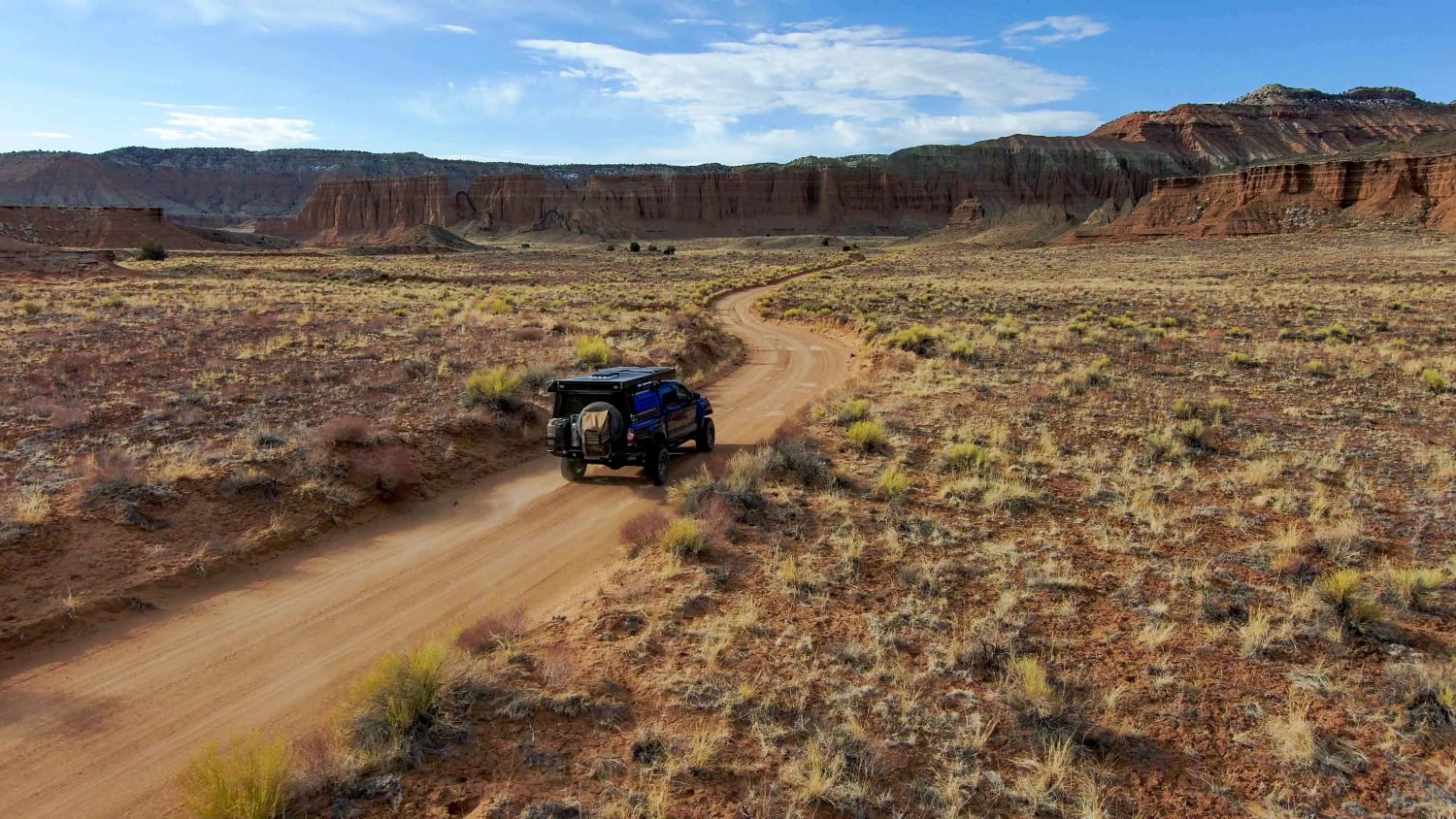
Northern Cathedral Valley Road
The onX Offroad Difference
onX Offroad combines trail photos, descriptions, difficulty ratings, width restrictions, seasonality, and more in a user-friendly interface. Available on all devices, with offline access and full compatibility with CarPlay and Android Auto. Discover what you’re missing today!
