Wapiti Trail
Total Miles
4.8
Elevation
2,892.17 ft
Duration
1 Hours
Technical Rating
Best Time
Spring, Summer, Fall
Trail Overview
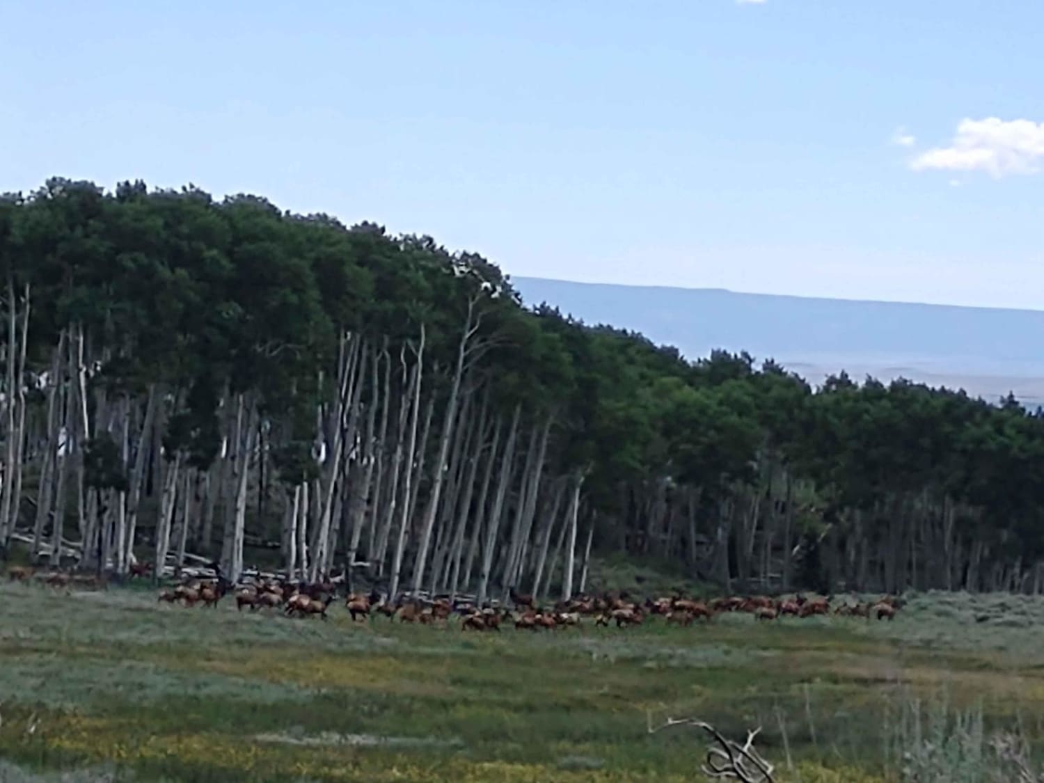
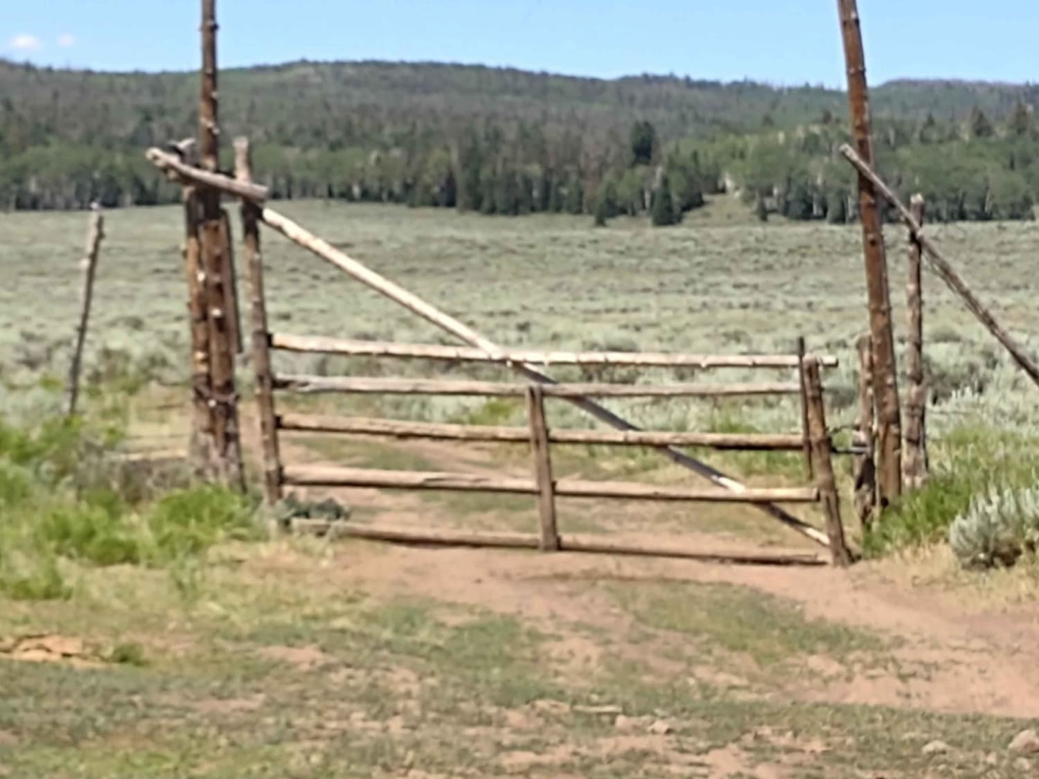
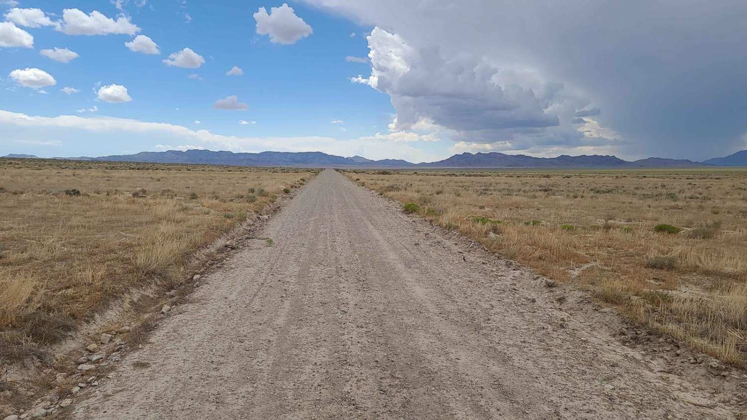
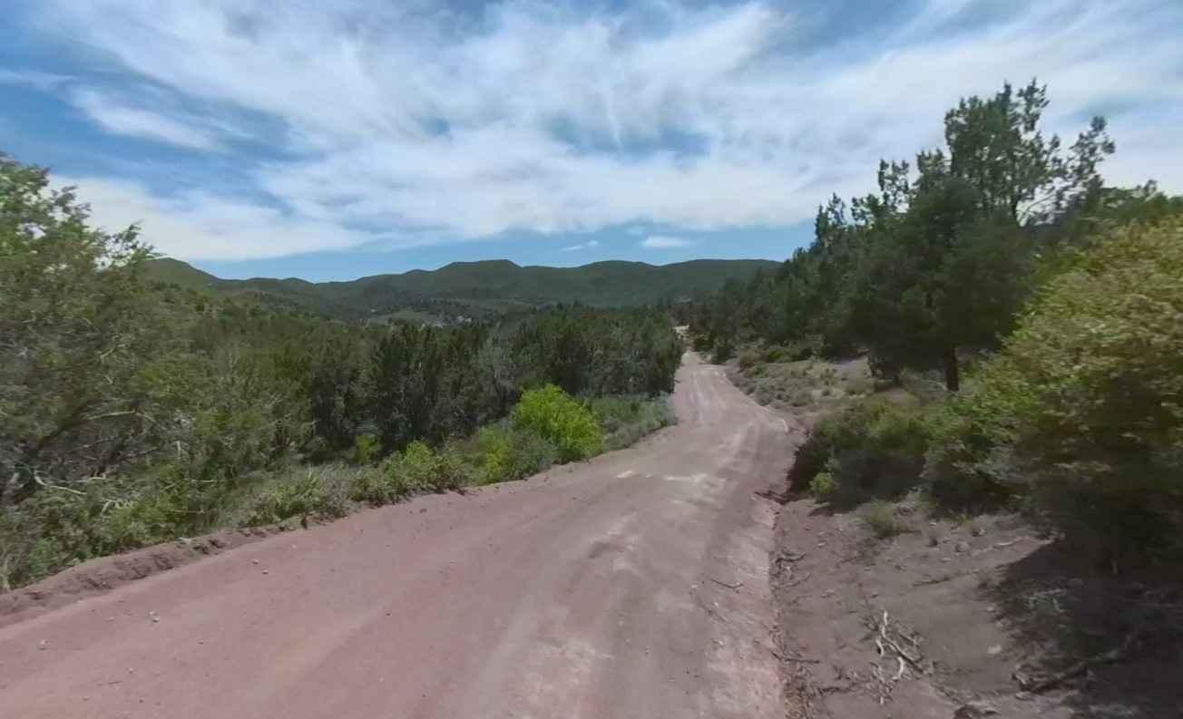
This trail runs primarily in the Paiute ATV Trail Area, a privately owned piece that's managed by the BLM and USFS. Access is granted to off-roading enthusiasts. There are a couple of gates, and as always, if the gate is closed when you arrive, close it after you go through. The east end of the trail is called Koosharem Pasture Road and Co. Road 2182p on the map, and another section is FS 41168. There are a couple of water crossings, but the trail is pretty solid underneath, so by late July they are easy. This area is used as summer grazing for cattle, so watch for them. There are some loose rocks on the trail and some easy hills, but nothing too difficult. You move through a pine forest, then through an aspen grove, then into open meadows, then rinse and repeat. The scenery is amazing. You may happen upon one of the large elk herds that call this area home during the summer. It is simply beautiful!
Photos of Wapiti Trail
Difficulty
There are some loose rocks and the trail is rutted in some areas. There is erosion from spring run-off, but it's still an easy trail. By late July, the water crossings are easy.
Status Reports
Popular Trails
Paiute ATV Trail Beaver Creek over the Tushars
Upper Veyo Shoal Creek-FR30006
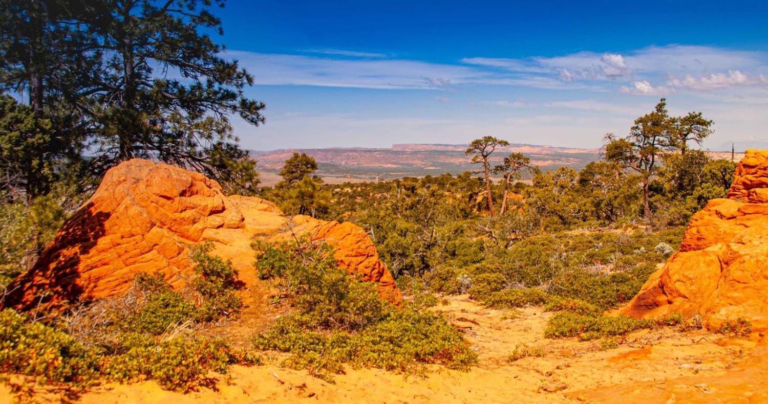
Sand/Lamb Point Loop Road (BLM05)
The onX Offroad Difference
onX Offroad combines trail photos, descriptions, difficulty ratings, width restrictions, seasonality, and more in a user-friendly interface. Available on all devices, with offline access and full compatibility with CarPlay and Android Auto. Discover what you’re missing today!
