Whisker Spur
Total Miles
1.9
Technical Rating
Best Time
Spring, Fall
Trail Type
High-Clearance 4x4 Trail
Accessible By
Trail Overview
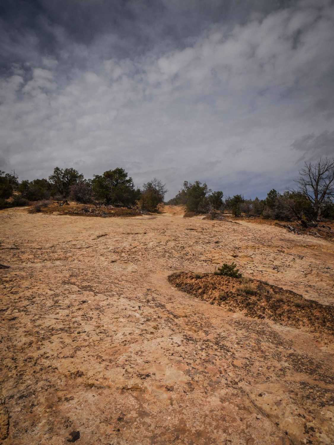
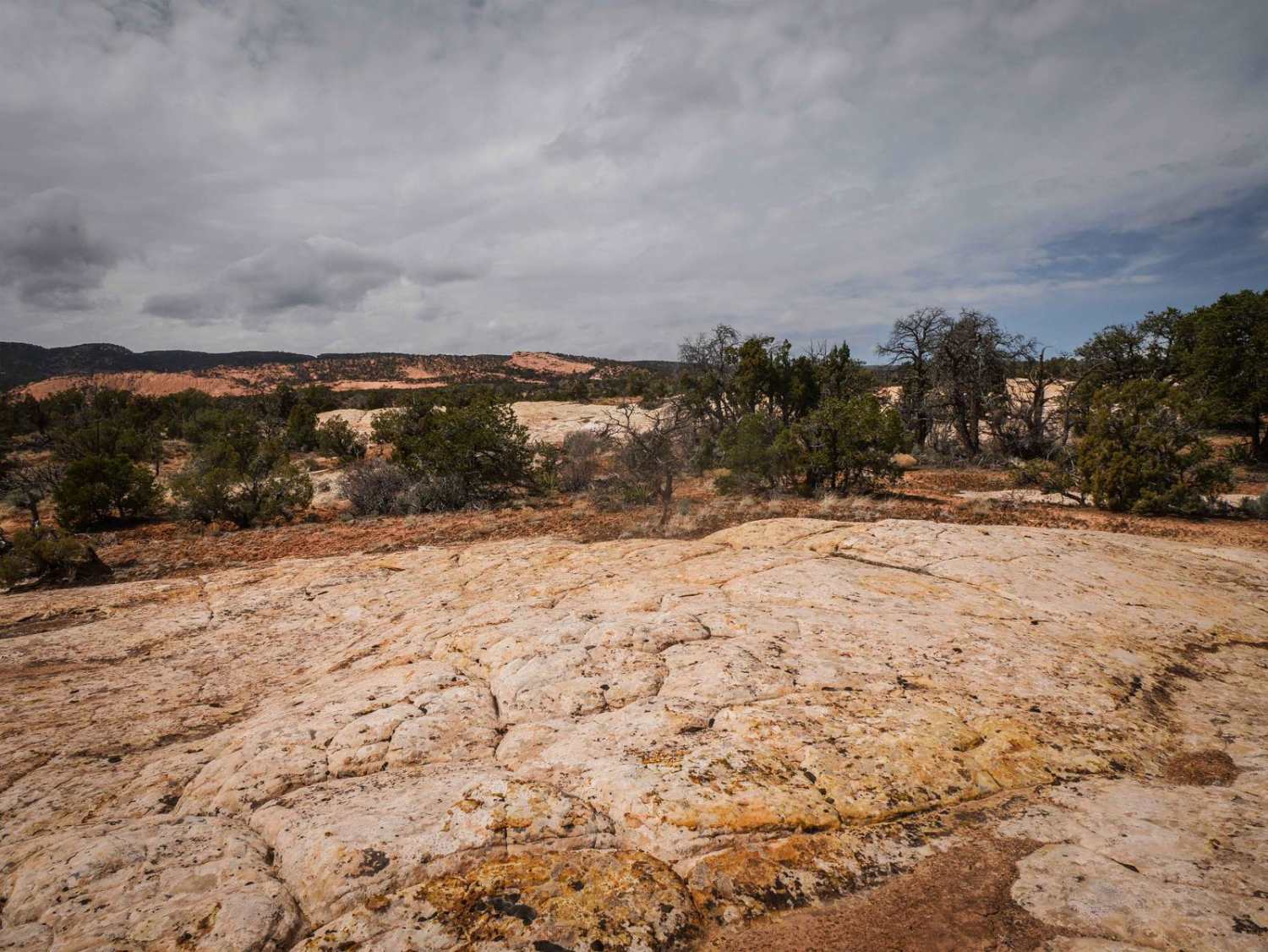
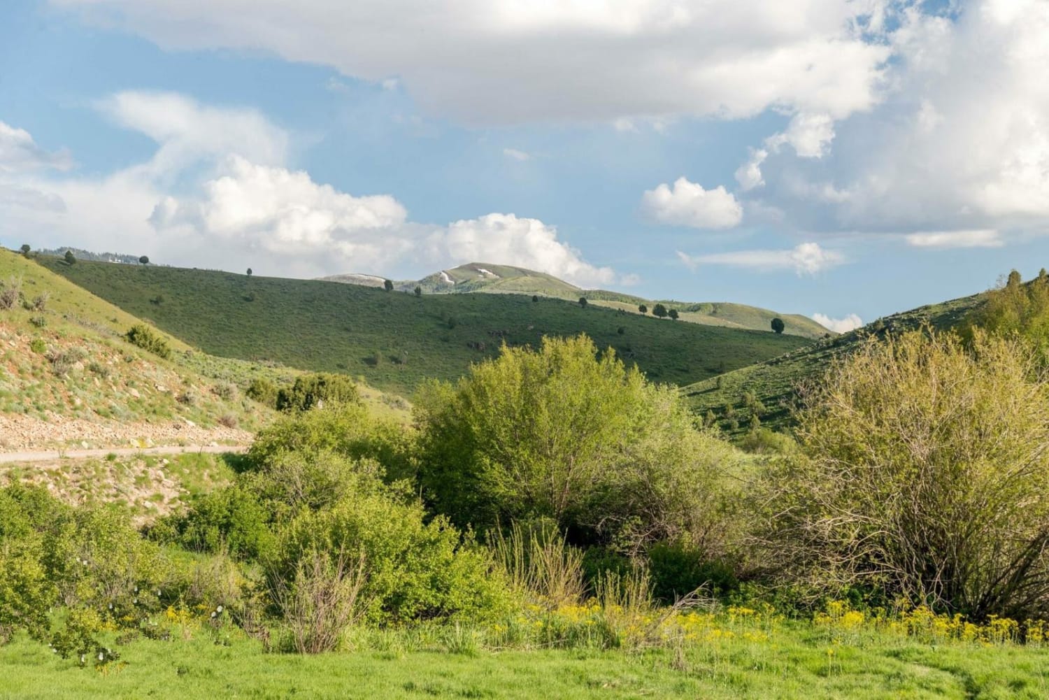
This is a 2-mile spur off of the graded road Whisker Draw South. It's a wider dirt trail between sagebrush on soft dirt, with lots of ruts and unmarked intersections. It winds through the pinyon pine with tight turns and starts to narrow up, with tree branches sticking out over the trail. It goes through a couple of big dips to cross ravines that are a couple of feet deep--you'll need high clearance. There's a long section of embedded slick rock. It's flat and easy but a unique feature of this trail. It climbs up to the top of the mesa, gaining almost 500 feet in elevation. It gets more faint and narrow at the top before it dead-ends. It dead-ends on a section of slab rock with a view out over the mesas. It's fun to just explore and may be good hunting access, although it doesn't lead to anything in particular.
Photos of Whisker Spur
Difficulty
The difficulty is a 2 for tight turns, big dips, and faint sections. It has sections that are more narrow that are probably more suited for UTVs/ATVs.
Status Reports
Popular Trails
Catamount Road
Trail Hollow West FS 10412
Ant Flat Road Utah
The onX Offroad Difference
onX Offroad combines trail photos, descriptions, difficulty ratings, width restrictions, seasonality, and more in a user-friendly interface. Available on all devices, with offline access and full compatibility with CarPlay and Android Auto. Discover what you’re missing today!
