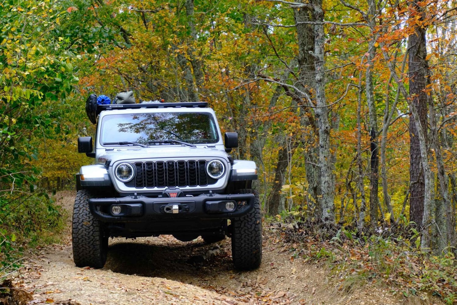
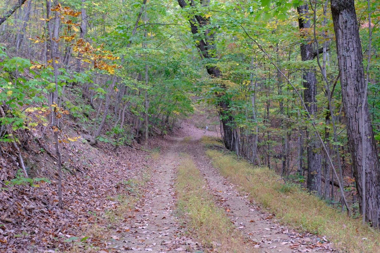
Bobblets Gap
Total Miles
4.8
Technical Rating
Best Time
Fall
Trail Type
Full-Width Road
Accessible By
Trail Overview
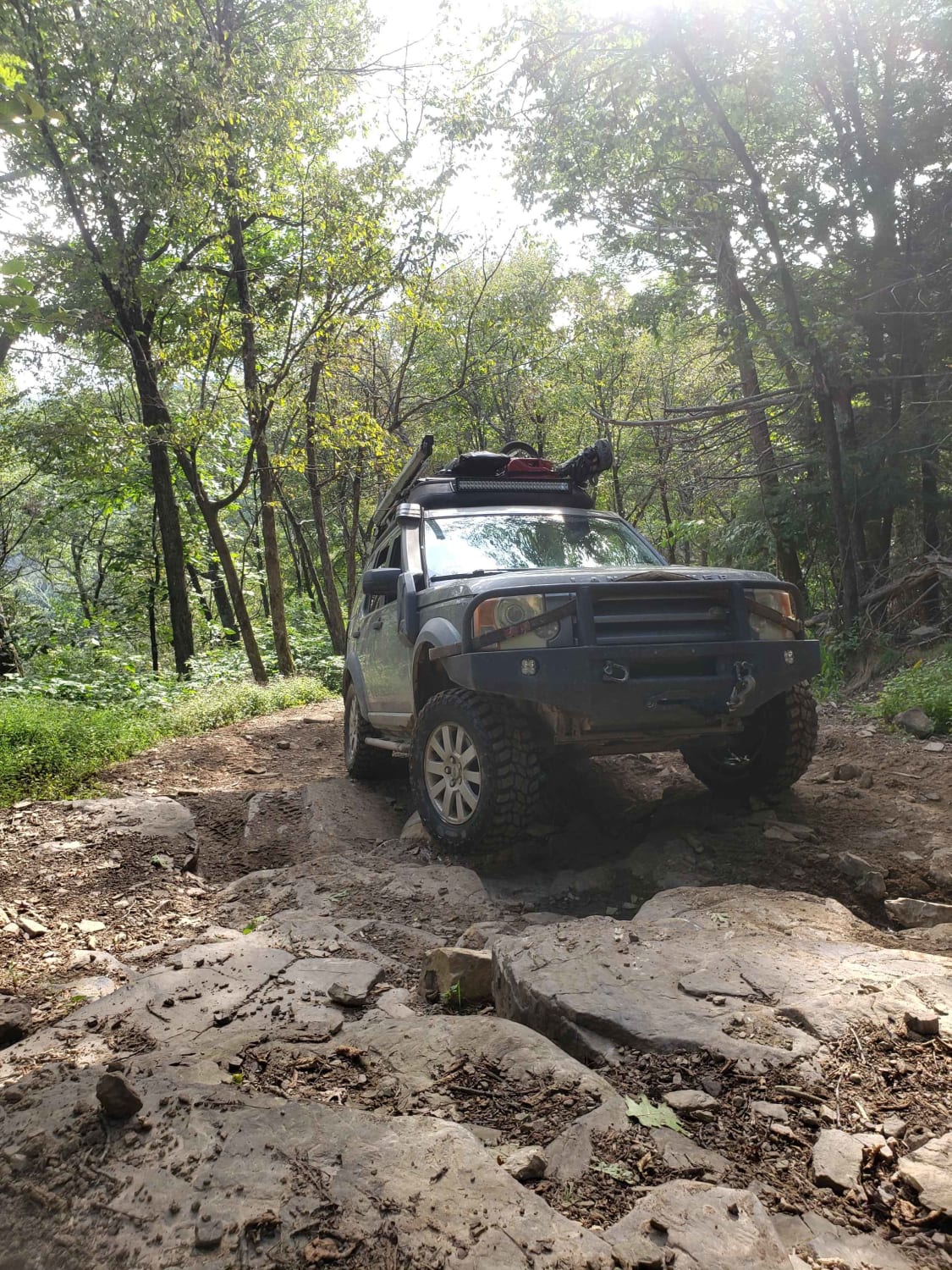
Bobblets Gap is a natural surface two-track that starts on the south side of the Blue Ridge near Montvale, Virginia, and traverses up the mountain. At the top, it goes under the Blue Ridge Parkway and back off the north side of the mountain range, where it intersects with the Appalachian Trail and a few other foot and horse trails. The northern terminus is near Buchanan, Virginia. While not technically difficult, the trail is narrow, often with a drop-off a few feet from the tracks, and with a few scattered spots wide enough for vehicles to pass. No campsites are available along the route. Cell service is spotty at best.
Photos of Bobblets Gap
Difficulty
Outside of a few spots that are washed and a couple of berms, this would be a 1. Any high-clearance 4x4 or AWD vehicle with some clearance should have no issues.
Status Reports
Popular Trails
Enchanted Creek
Flagpole Knob

Pads Creek
Union Springs
The onX Offroad Difference
onX Offroad combines trail photos, descriptions, difficulty ratings, width restrictions, seasonality, and more in a user-friendly interface. Available on all devices, with offline access and full compatibility with CarPlay and Android Auto. Discover what you’re missing today!
