Crabtree Meadows
Total Miles
5.0
Technical Rating
Best Time
Spring, Summer, Fall, Winter
Trail Type
Full-Width Road
Accessible By
Trail Overview
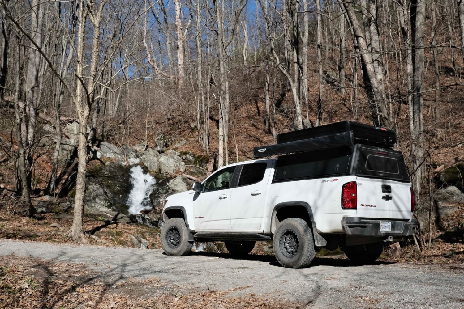
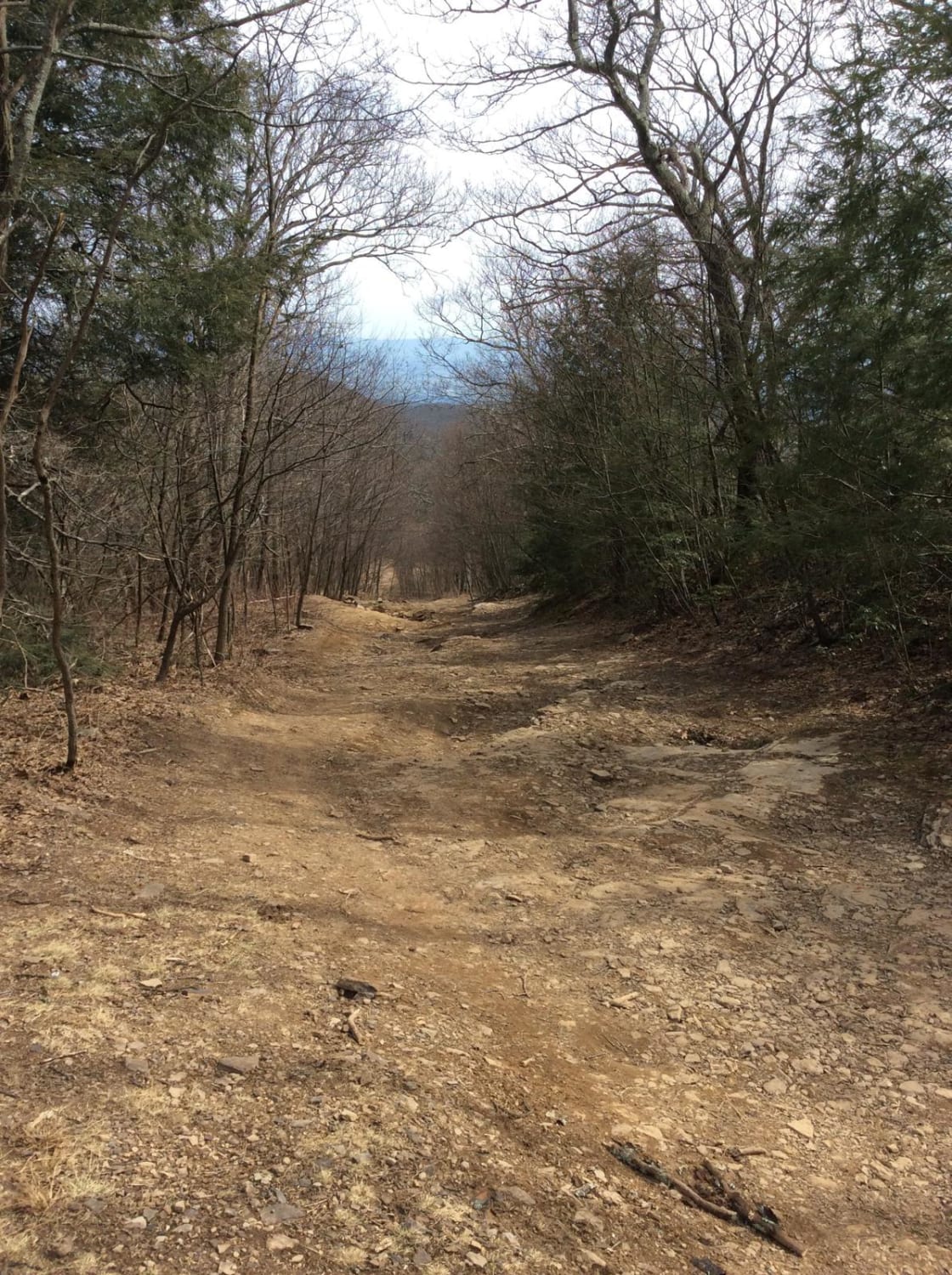
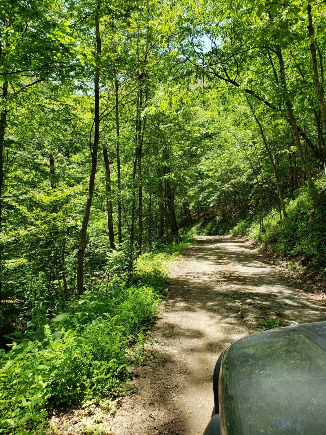
This route is one side of the old Shoe Creek Trail that is now gated in the middle at private property. The surface is gravel from the state road to the parking area for the Upper Crabtree Falls and is fairly easily passable. There are a couple of small creek crossings with loose rock before the parking area. The remainder of the route is unmaintained natural surface and rocky. There are numerous large dispersed camping areas along the route. The AT crosses the route and offers hiking opportunities. The trailhead and parking area located around midway is the top-down hike of Crab Tree Falls. No cell service in the area.
Photos of Crabtree Meadows
Difficulty
Half rough gravel and half unmaintained rocky
Status Reports
Popular Trails

Fenwick Mines

Overstreet Creek

Flagpole Knob
The onX Offroad Difference
onX Offroad combines trail photos, descriptions, difficulty ratings, width restrictions, seasonality, and more in a user-friendly interface. Available on all devices, with offline access and full compatibility with CarPlay and Android Auto. Discover what you’re missing today!


