Second Mountain Trail
Total Miles
5.4
Technical Rating
Best Time
Spring, Summer, Fall
Trail Type
Full-Width Road
Accessible By
Trail Overview
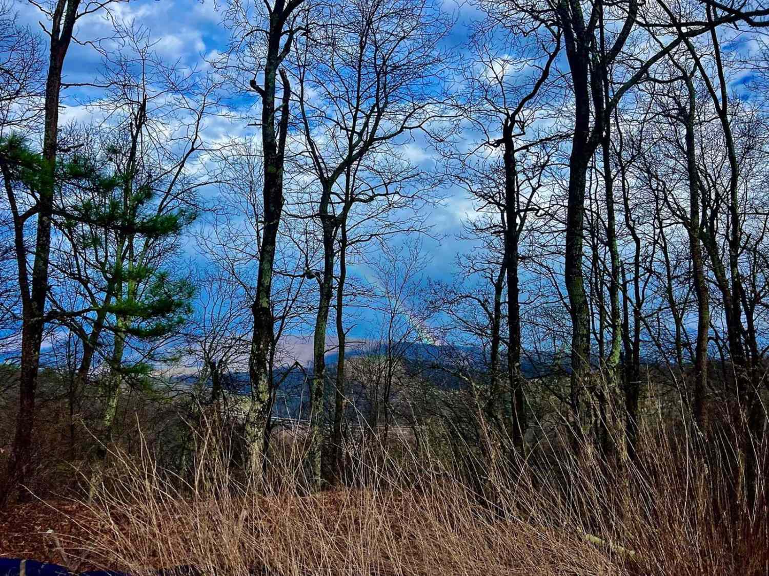
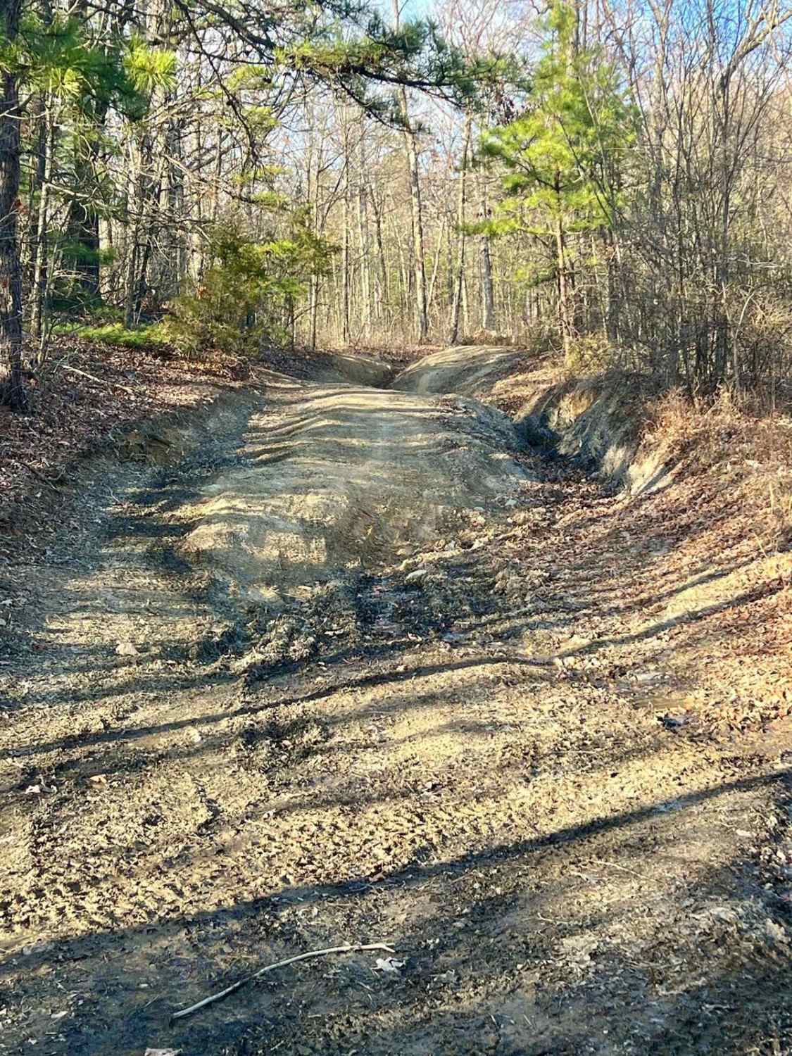
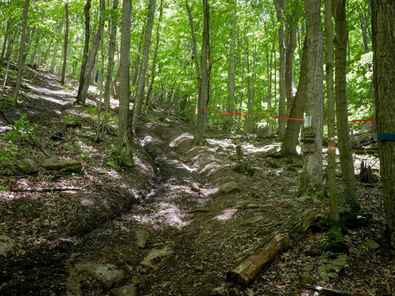
The trail starts at the top at a small staging area frequently used to offload SxS vehicles or at the bottom off US-33. There is a gate at the top and bottom for controlled access by the Forest Service; check online for status alerts at https://www.fs.usda.gov. The trail changed a lot in 2023 with the Dominion Energy project. There are several new access roads to the powerlines that should be avoided, and the top of the trail is covered in 1 to 2-inch rocks similar to gravel. The bottom half of the trail has not changed much, with a natural dirt trail and rocks boasting a few obstacles and off-camber sections of the trail. After a good rain, you can find several water holes along the lower half of the trail. This is a fun trail if you like something a little more challenging than gravel roads, and it offers beautiful views. Cell phone service is available on most of the trail.
Photos of Second Mountain Trail
Difficulty
Expect uneven, rutted dirt trail with loose rocks, erosion, and washouts. This is typically unmaintained after rain or snow and you may encounter water crossings up to 12 inches on the trail, including small ledges. The road is typically one vehicle wide with places to pass. There is one off-camber section that offers a bypass.
Status Reports
Second Mountain Trail can be accessed by the following ride types:
- High-Clearance 4x4
- SUV
- SxS (60")
Second Mountain Trail Map
Popular Trails
CC1 (Part 2)
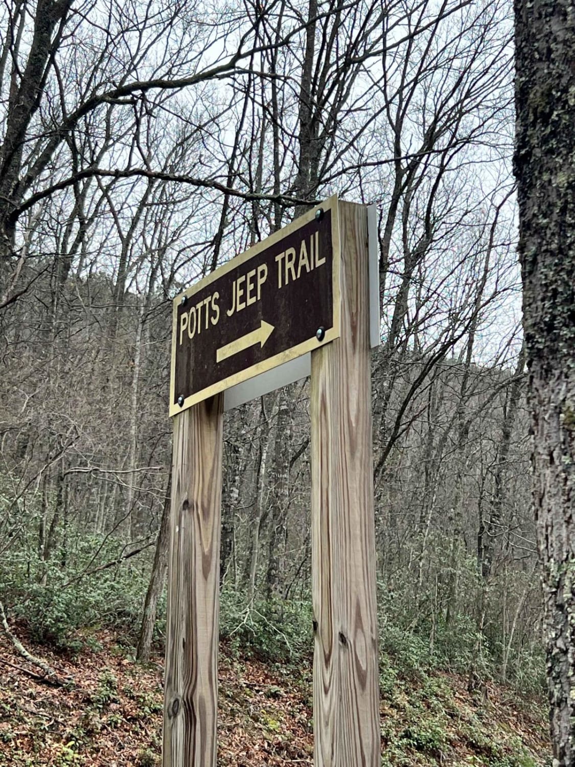
Potts Mountain Jeep Trail
The onX Offroad Difference
onX Offroad combines trail photos, descriptions, difficulty ratings, width restrictions, seasonality, and more in a user-friendly interface. Available on all devices, with offline access and full compatibility with CarPlay and Android Auto. Discover what you’re missing today!
