A Line
Total Miles
5.2
Technical Rating
Best Time
Spring, Summer, Fall
Trail Type
Full-Width Road
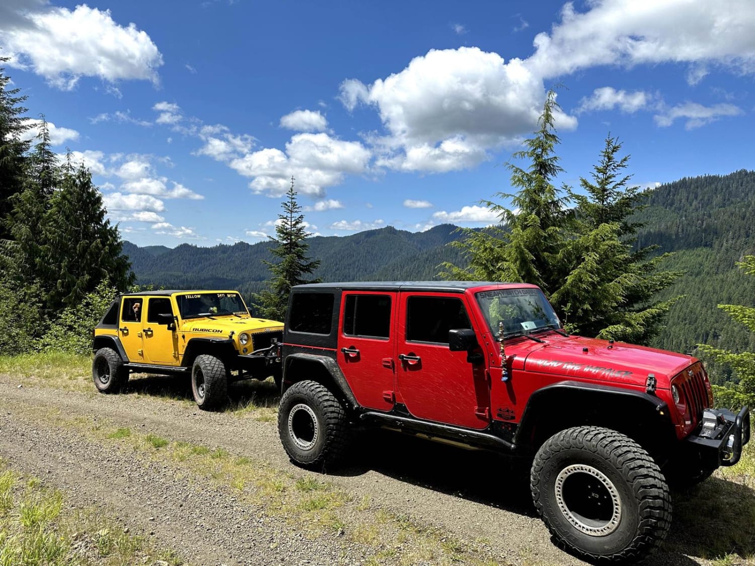
Accessible By
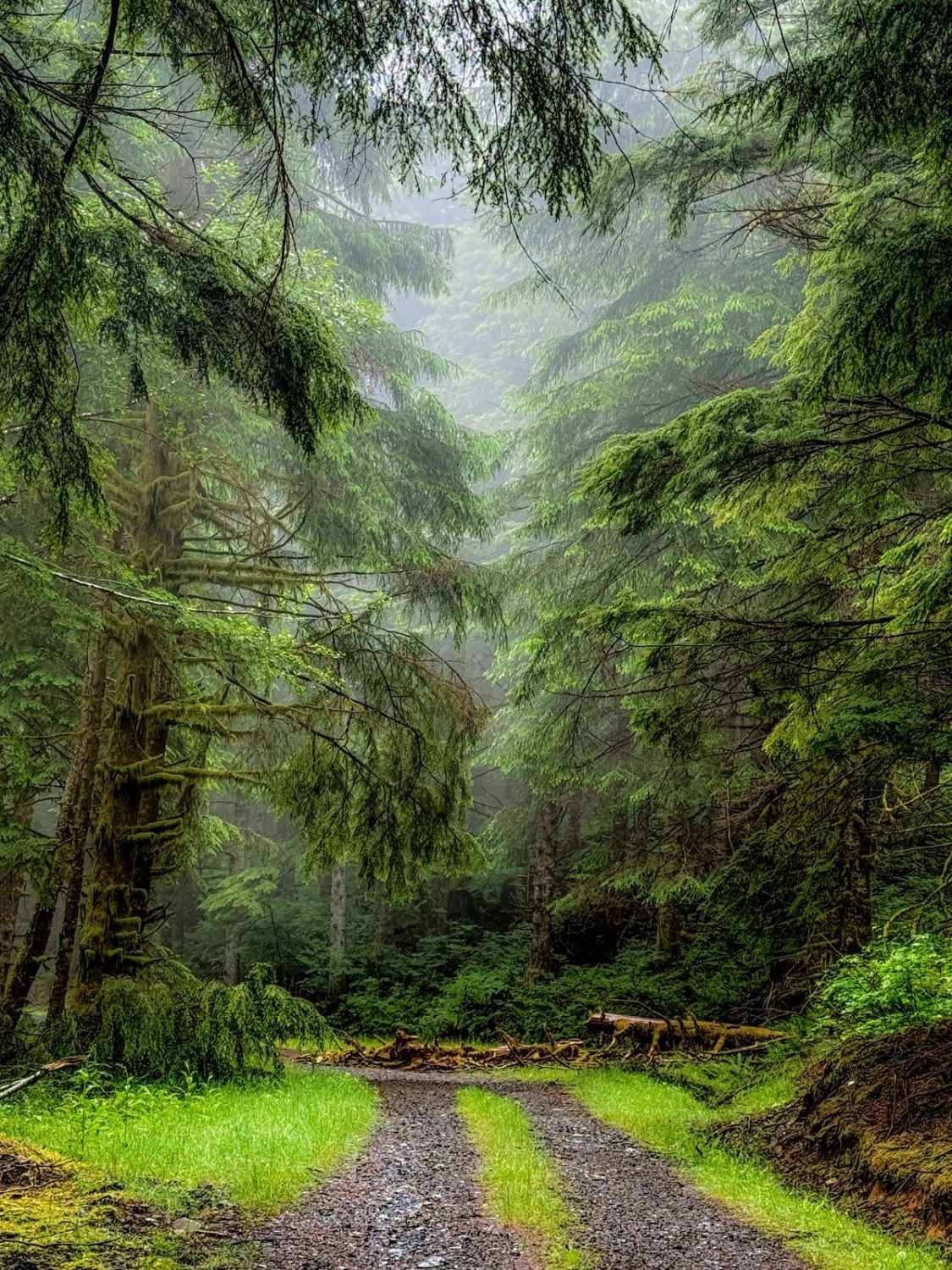
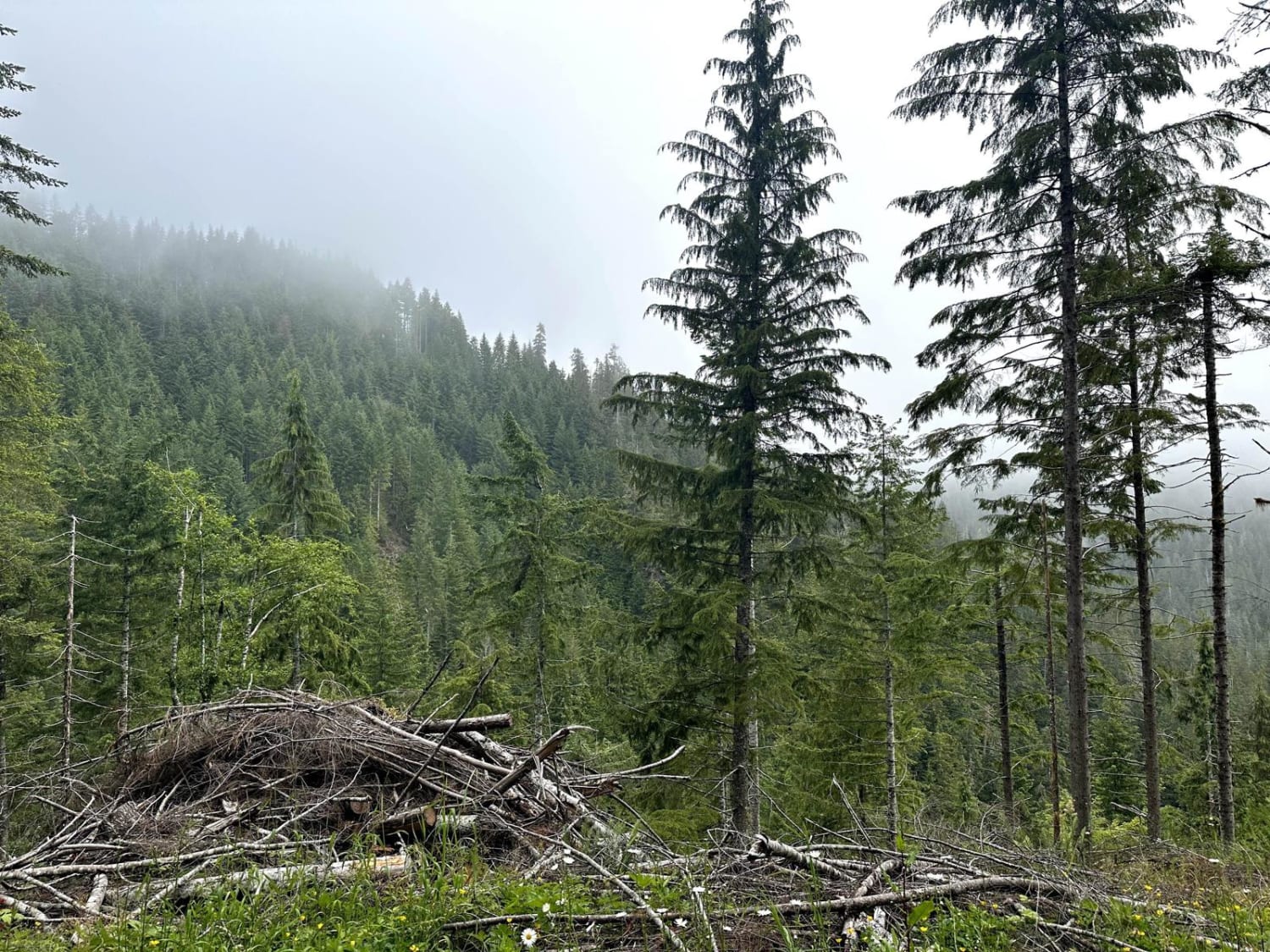
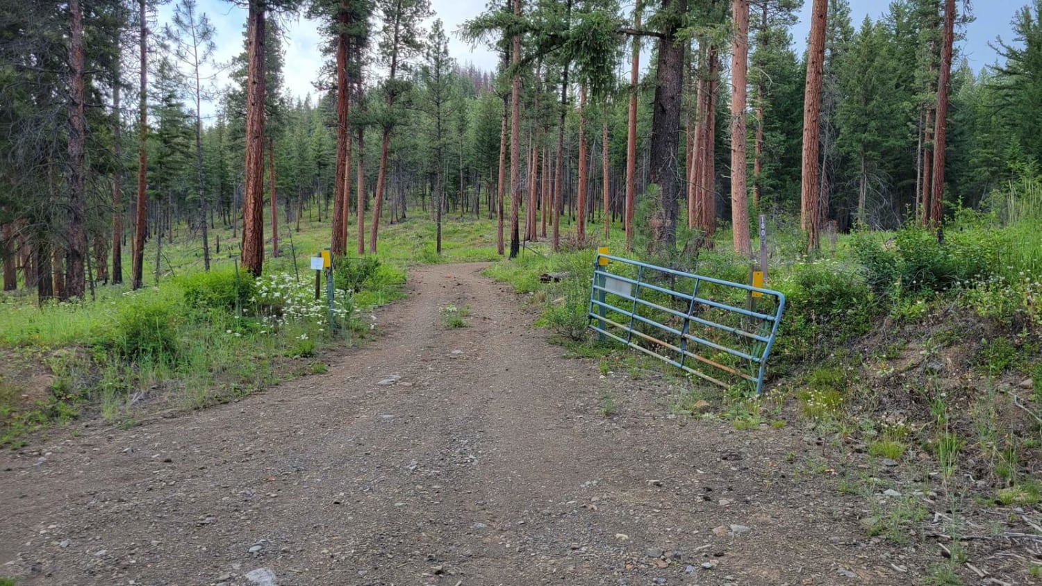
Trail Overview
Off the main trail, you will hit A Line which ends at G Line and exits the large network of trails. About half way through the trail A line turns into G Line. This trail offers a more beautiful pathway going through thick forested growth and lichen-covered trees. The trail remains a well-groomed gravel and dirt road, safe for all 4x4 and high clearance 2WD. Local wildlife including Coyotes were spotted through this network of trails so please be cautious of their presence. There are only a few areas to camp along the trail, Radar Mainline has more camping available.
Photos of A Line

Difficulty
Well groomed gravel road with minimal potholes. Safe for all 4x4 and 2WD. No water crossings were present.

Popular Trails

Cougar Rock Connecting Trail
Humptulips Ridgeline Trail
East Fork Humptulips Trail
The onX Offroad Difference
onX Offroad combines trail photos, descriptions, difficulty ratings, width restrictions, seasonality, and more in a user-friendly interface. Available on all devices, with offline access and full compatibility with CarPlay and Android Auto. Discover what you’re missing today!