Beckler Peak
Total Miles
6.8
Elevation
893.88 ft
Duration
0.75 Hours
Technical Rating
Best Time
Spring, Summer, Fall, Winter
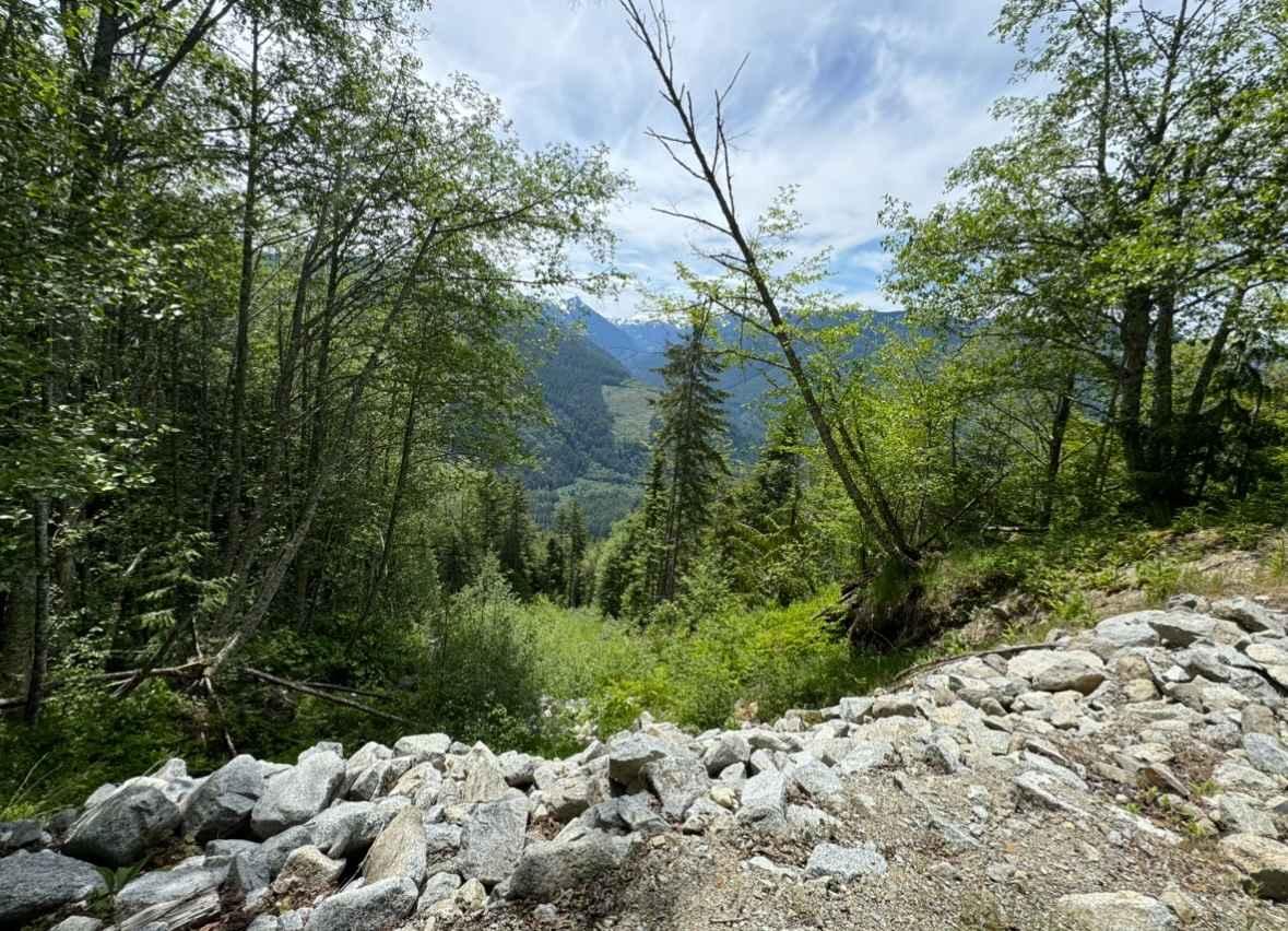
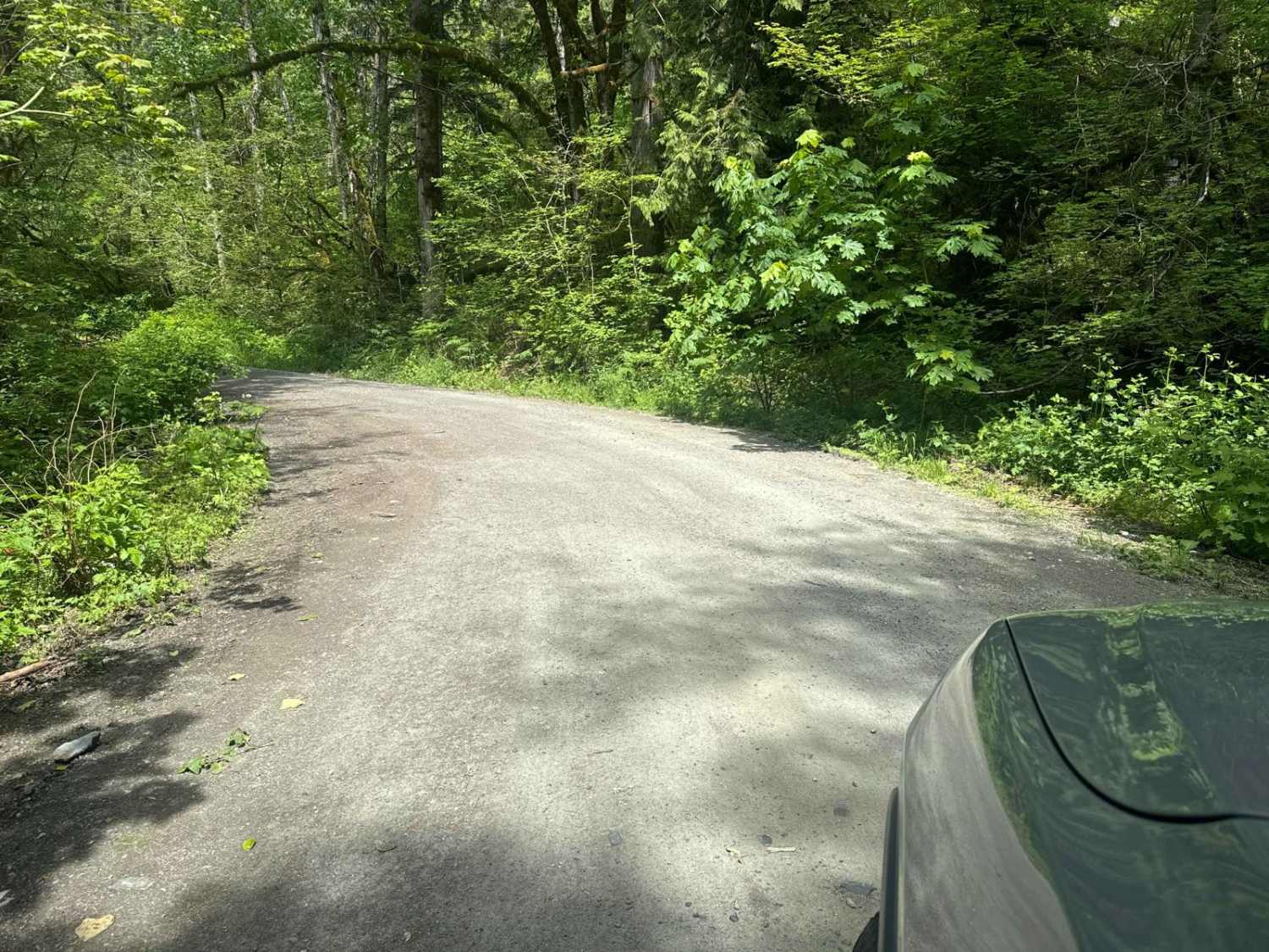
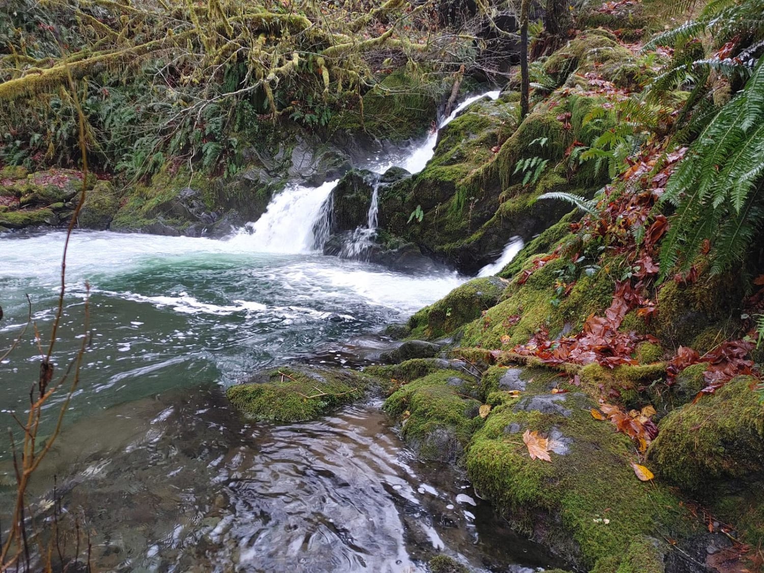
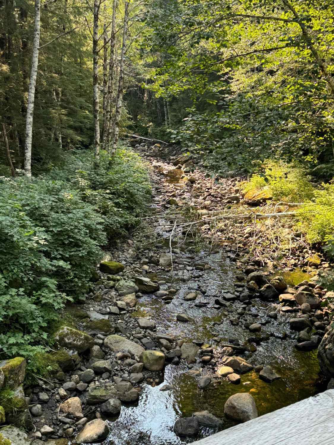
Trail Overview
Beckler Peak starts as a beautiful, well-groomed trail with minimal potholes. After about a mile when you begin to go up in elevation, there are ruts throughout the road from the snowmelt. It is easy enough to find a line, but you do have to switch from side to side frequently. There are a few sections of potholes, but nothing too bad. Look for lots and lots of waterfalls on the left. This trail during spring/summer is heavily overgrown with lush foliage, so expect some pinstripes in spots. There also is not much of a view as a result of the thickness of the forest.
Photos of Beckler Peak
Difficulty
This trail can be run by virtually any 4x4 and even 2WD during spring/summer. There's nothing technical besides potholes and ruts that are easy to navigate.
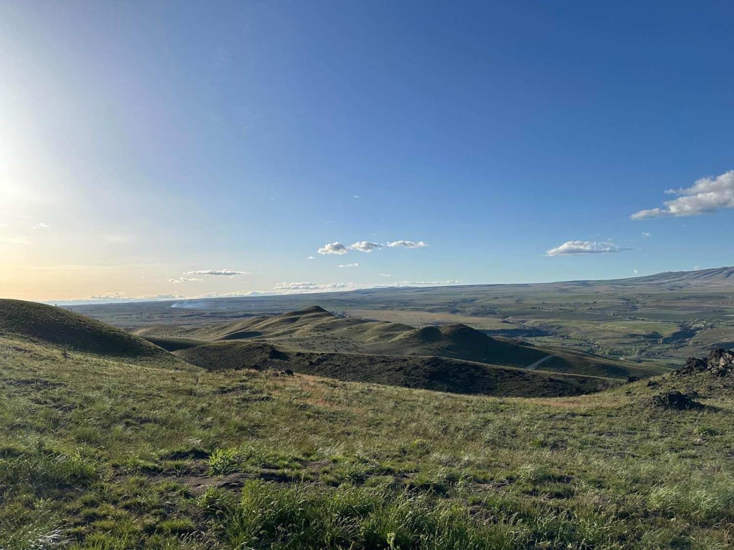
History
The trail opened in 2011, and hiking Jennifer Dunn Trailhead at the end of this trail gives you stunning views of Glacier Peak, Baring, Index, and the Monte Cristo Range.
Status Reports
Popular Trails
Graves Creek Camp Trail
Double Track
The onX Offroad Difference
onX Offroad combines trail photos, descriptions, difficulty ratings, width restrictions, seasonality, and more in a user-friendly interface. Available on all devices, with offline access and full compatibility with CarPlay and Android Auto. Discover what you’re missing today!