Beckler River
Total Miles
7.6
Technical Rating
Best Time
Spring, Summer, Fall
Trail Type
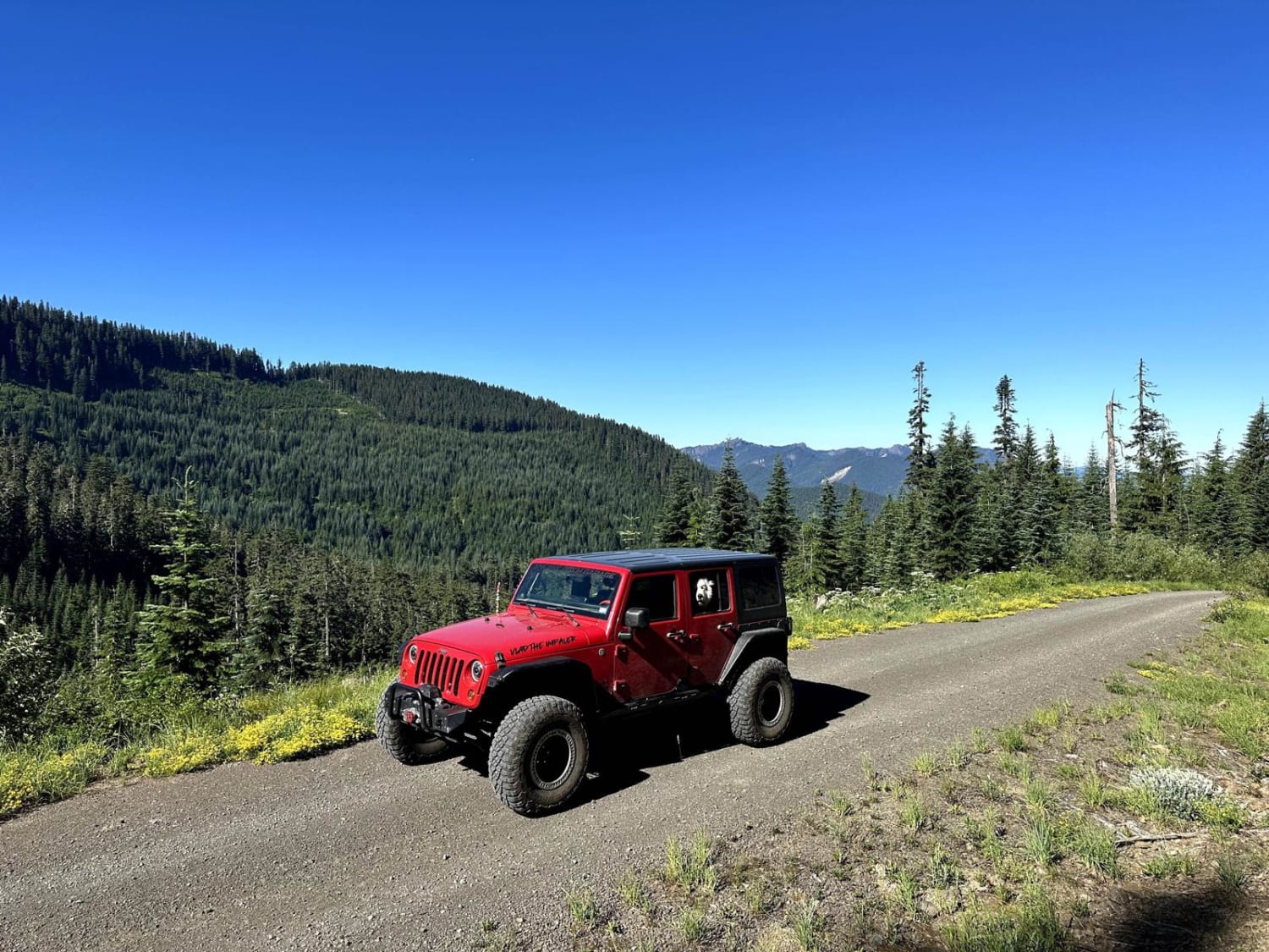
Full-Width Road
Accessible By
Trail Overview
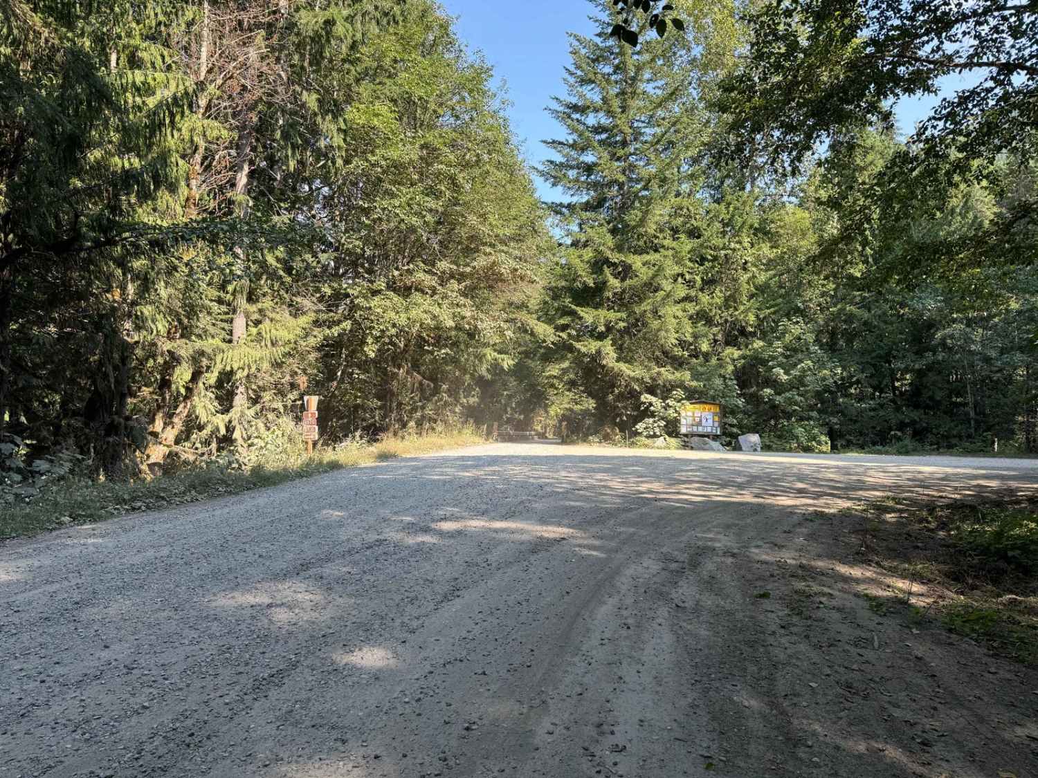
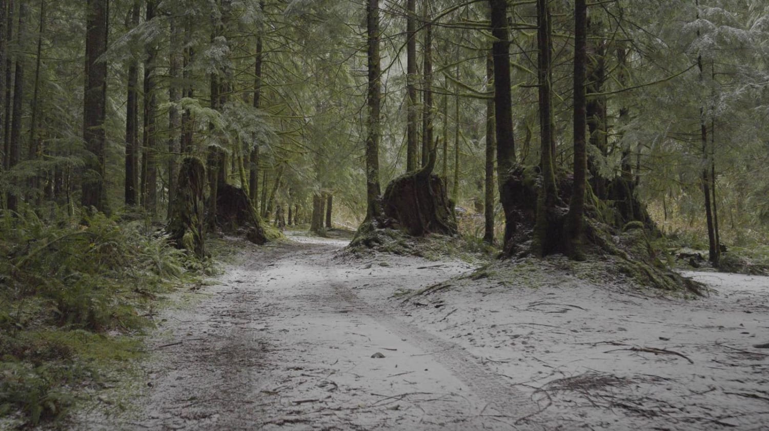
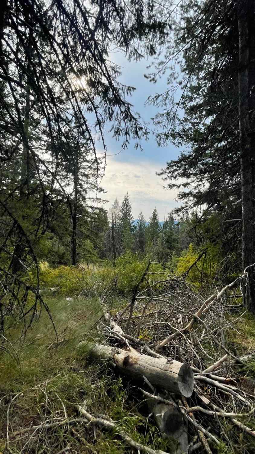
Beckler River Road is a comfortable gravel road with minimal potholes but a strong presence of washboard. This trail is well-groomed with a few bridges overlooking the river. Several hiking trails were noted along with plentiful areas to set up camp with a couple of areas off the road for more privacy. Cellular coverage was minimal to no coverage with AT&T. This route will take you up to Jack Pass and end at Index Galena Road. You will cross the North Fork Skykomish River just before the end of the trail. From Jack Pass to Skykomish River there is a very quick drop in elevation with switchbacks.
Photos of Beckler River

Difficulty
This is a standard gravel road with barely any potholes, no water crossings, or other notable obstacles.
Status Reports
Beckler River can be accessed by the following ride types:
- High-Clearance 4x4
- SUV
- SxS (60")
- ATV (50")
- Dirt Bike
Beckler River Map
Popular Trails
The Ferns on French Creek
Little Pend Oreille Loop

Columbia National Wildlife Refuge Lake Tour
Horse Creek Trail
The onX Offroad Difference
onX Offroad combines trail photos, descriptions, difficulty ratings, width restrictions, seasonality, and more in a user-friendly interface. Available on all devices, with offline access and full compatibility with CarPlay and Android Auto. Discover what you’re missing today!