Bedal Creek
Total Miles
2.9
Elevation
861.09 ft
Duration
1 Hours
Technical Rating
Best Time
Summer, Fall
Trail Overview
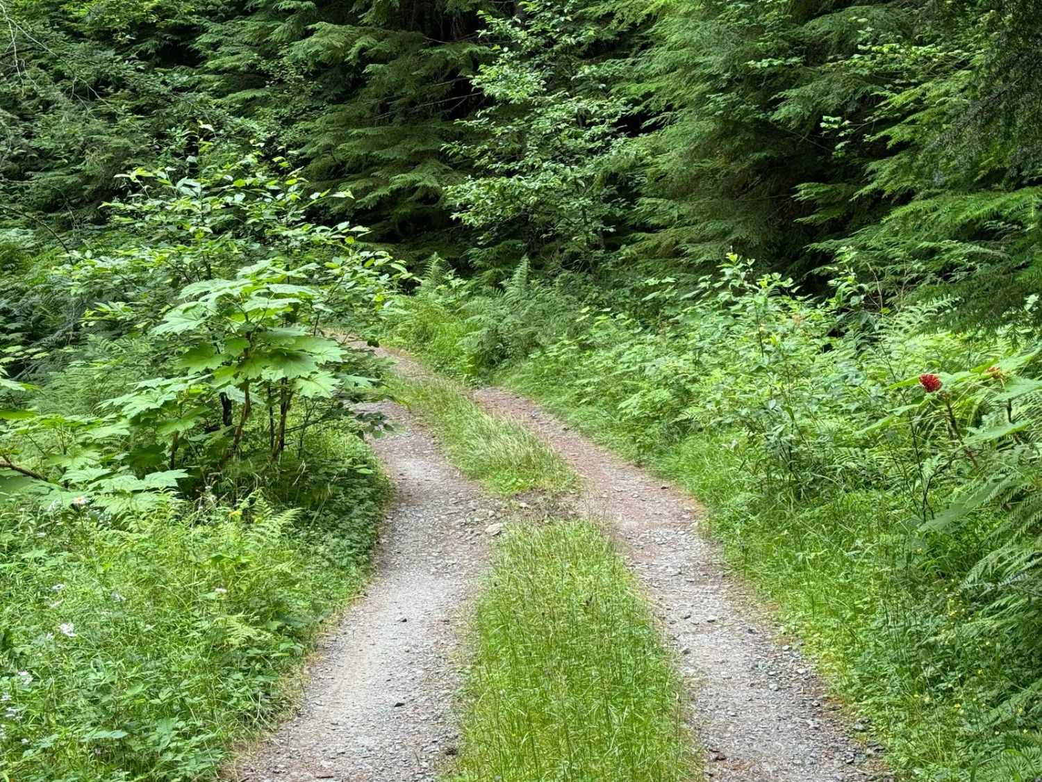
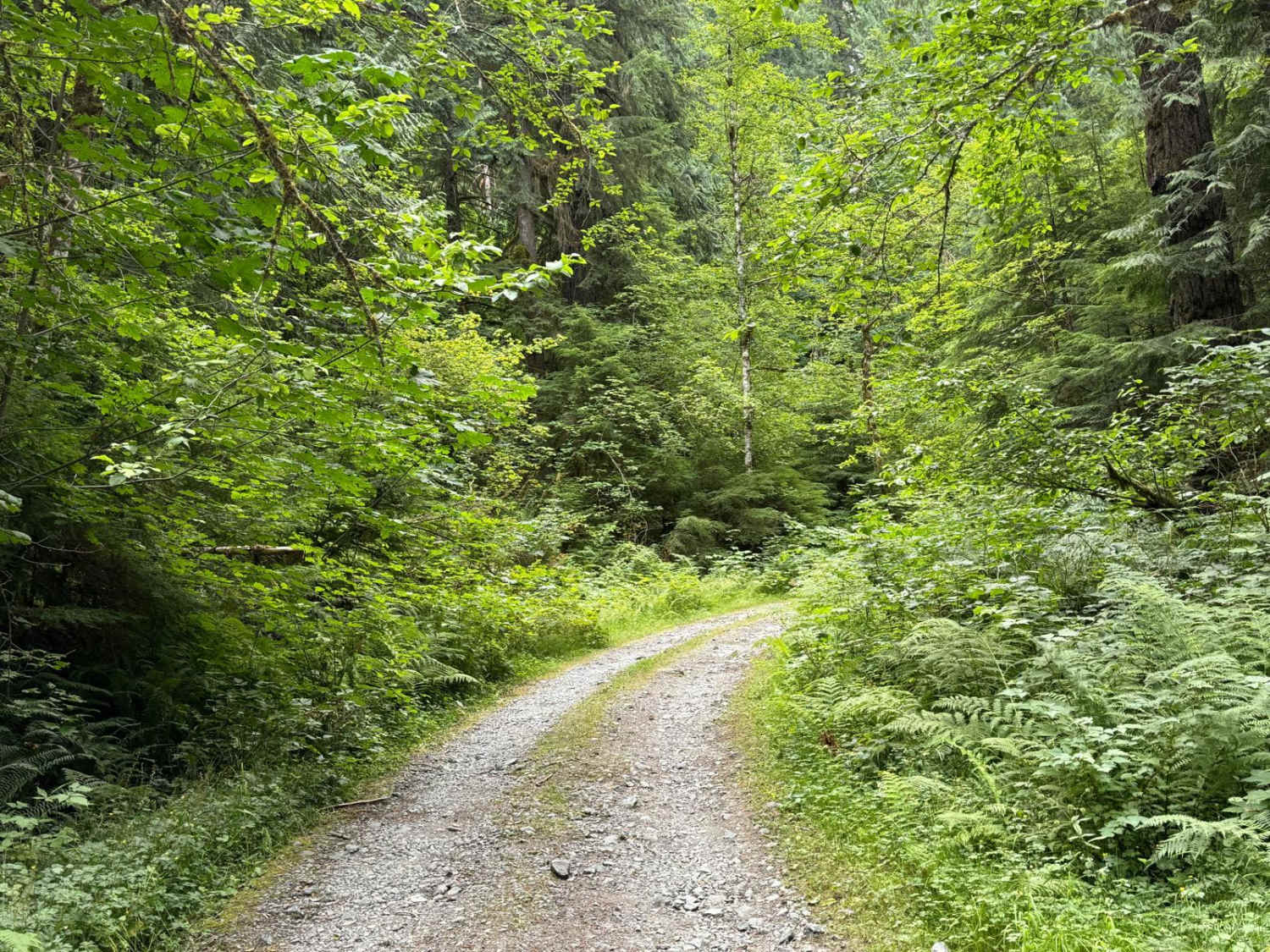
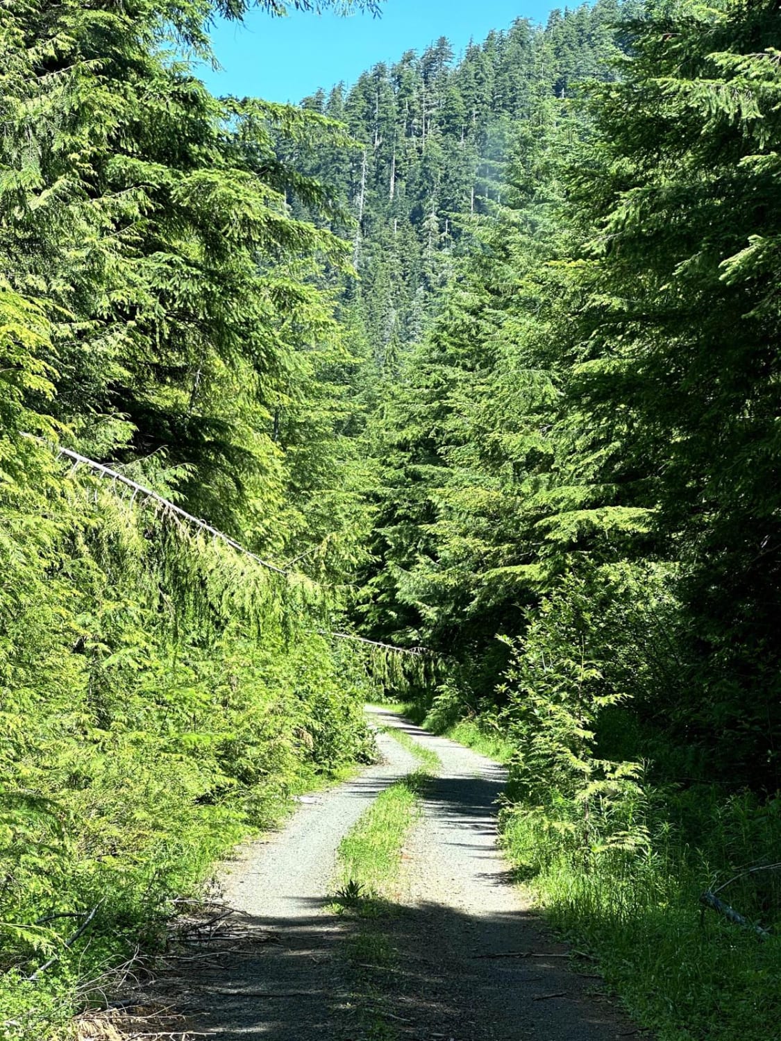
What Bedal Creek lacks in distance, it makes up for in challenge. This trail is located in the section of Mountain Loop that is only open during summer and fall. It is somewhere between a full-width road and a double-track and is extremely overgrown despite traffic to Bedal Creek Trailhead at the end. This trail is all sharp rocks and extremely dense foliage with full exposure on one side and a ditch on the other. There are only 3 places to turn around on this trail and they are tight. About halfway up there are some extremely deep ruts to navigate. Be warned that you will absolutely pinstripe your vehicle on this trail. There are very few sections where the foliage isn't thick and there are lots of low-hanging branches so RTTs will take some scratches too. This trail is only 3 miles but the time it takes to complete and the challenge make it worth the trip along with a great hiking trail at the end. 4Low highly recommended.
Photos of Bedal Creek
Difficulty
The trail is all sharp rocks and sections of deep uneven ruts. Going up is a constant hill climb. Ruts are partially possible to straddle with care.
Status Reports
Popular Trails

Lower Buck Creek N713
Milk Creek Road
Washington Backcountry Discovery Route Section 1
West Side East Fork Humptulips Valley Trail
The onX Offroad Difference
onX Offroad combines trail photos, descriptions, difficulty ratings, width restrictions, seasonality, and more in a user-friendly interface. Available on all devices, with offline access and full compatibility with CarPlay and Android Auto. Discover what you’re missing today!
