Bethel Ridge Road - NF1500
Total Miles
25.2
Technical Rating
Best Time
Spring, Summer, Fall
Trail Type
Full-Width Road
Accessible By
Trail Overview
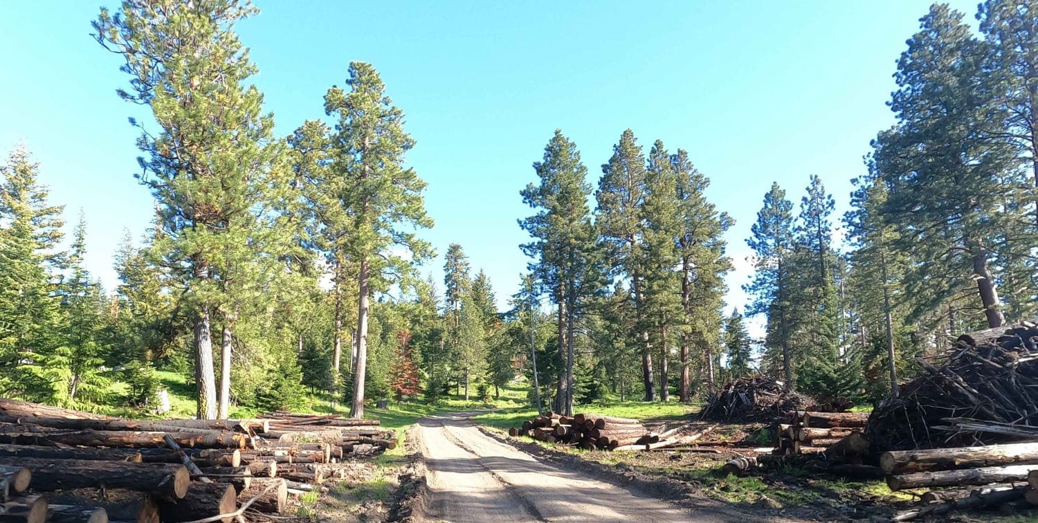
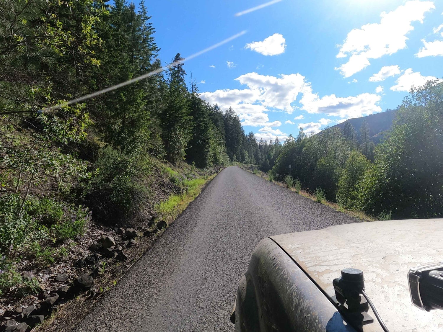
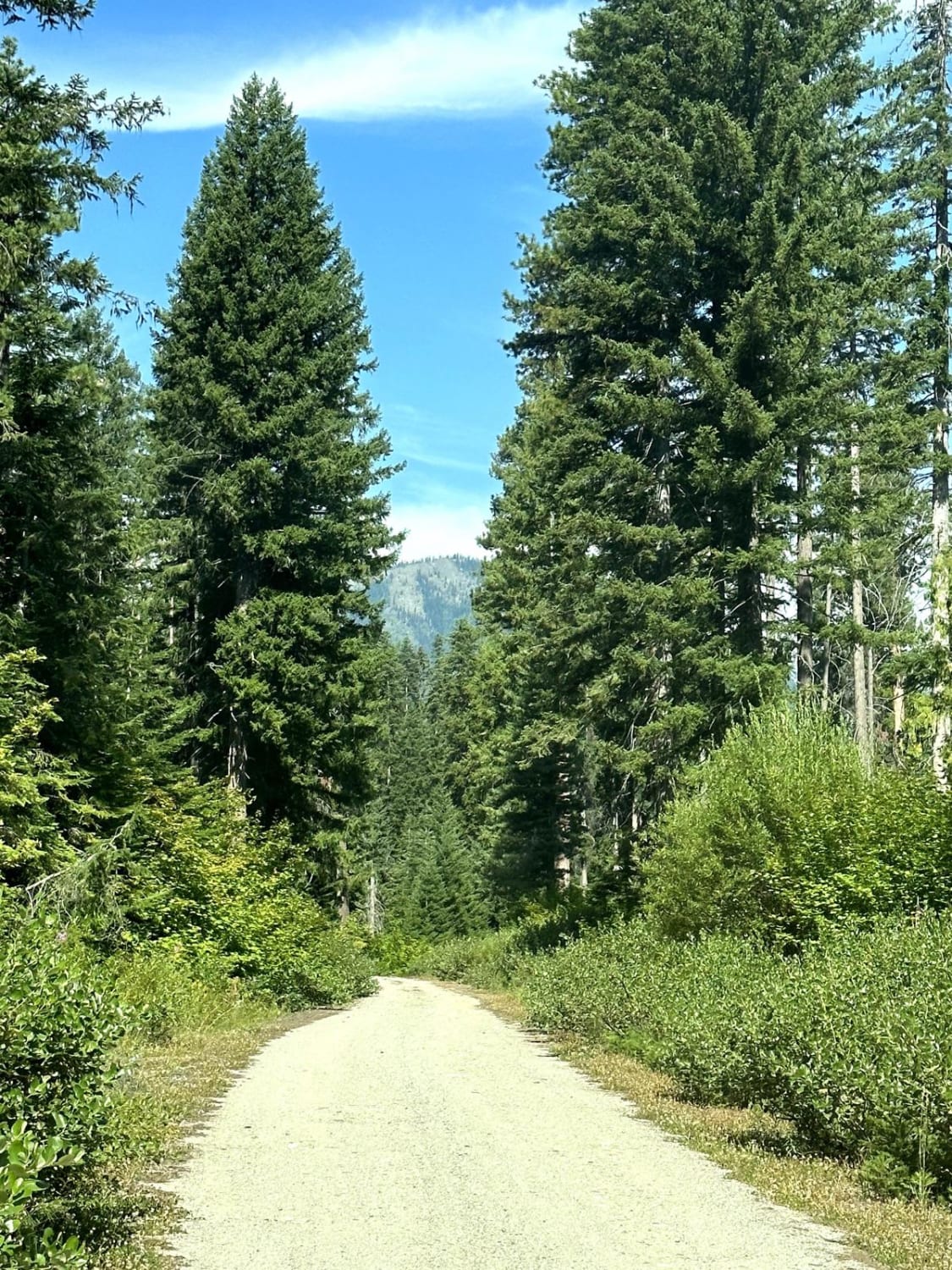
The twenty-five miles of Bethel Ridge Road climbs up and over Bethel Ridge from Highway 12 to State Route 410 just to the East of the William O Douglas Wilderness. This road is also part of Section Two of the Washington Backcountry Discovery Route (WABDR). In addition to accessing Bethel Ridge, it leads to numerous spurs that access hiking trails into the wilderness. The first 15 miles are maintained gravel, and the last 10 miles are paved but still tight and twisty with little room to pass oncoming traffic. During the Summer of 2021, a large wildfire burned through this area. This road can be a bit busy between the WABDR activity and the logging activity. Stay alert and be considerate of others.
Photos of Bethel Ridge Road - NF1500
Difficulty
easy forest service road
Status Reports
Bethel Ridge Road - NF1500 can be accessed by the following ride types:
- High-Clearance 4x4
- SUV
Bethel Ridge Road - NF1500 Map
Popular Trails
Ocean Coast Overlook Trail
Big Meadow Creek Road
Well's Creek Road
The onX Offroad Difference
onX Offroad combines trail photos, descriptions, difficulty ratings, width restrictions, seasonality, and more in a user-friendly interface. Available on all devices, with offline access and full compatibility with CarPlay and Android Auto. Discover what you’re missing today!
