Cabin Creek Trail
Total Miles
2.2
Technical Rating
Best Time
Spring, Summer, Fall
Trail Type
Full-Width Road
Accessible By
Trail Overview
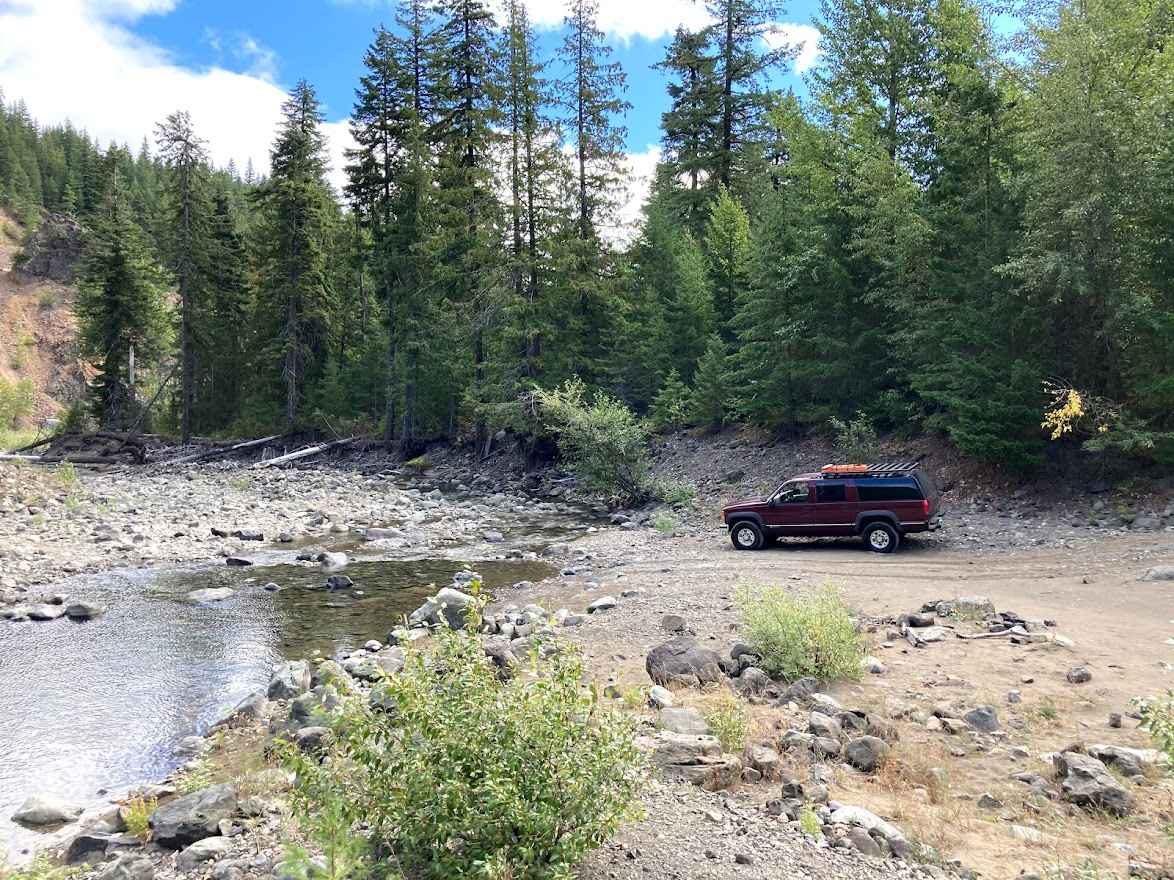
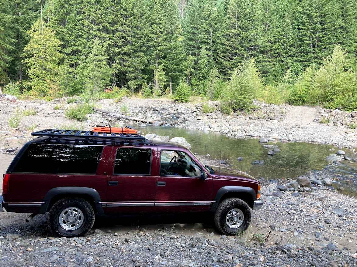
Following Cabin Creek Road, this trail is mostly easy and one of the ways to get across Stampede Pass. At about 2 miles in, the road and bridge that crossed Cabin Creek are washed out, and there is a detour that brings you to a shallow (in the fall) water crossing at Cabin Creek. From there, the trail gets very narrow through young fir trees. I could not continue with my Suburban, but a smaller vehicle like a Jeep or 4Runner will not have any issues.
Photos of Cabin Creek Trail
Difficulty
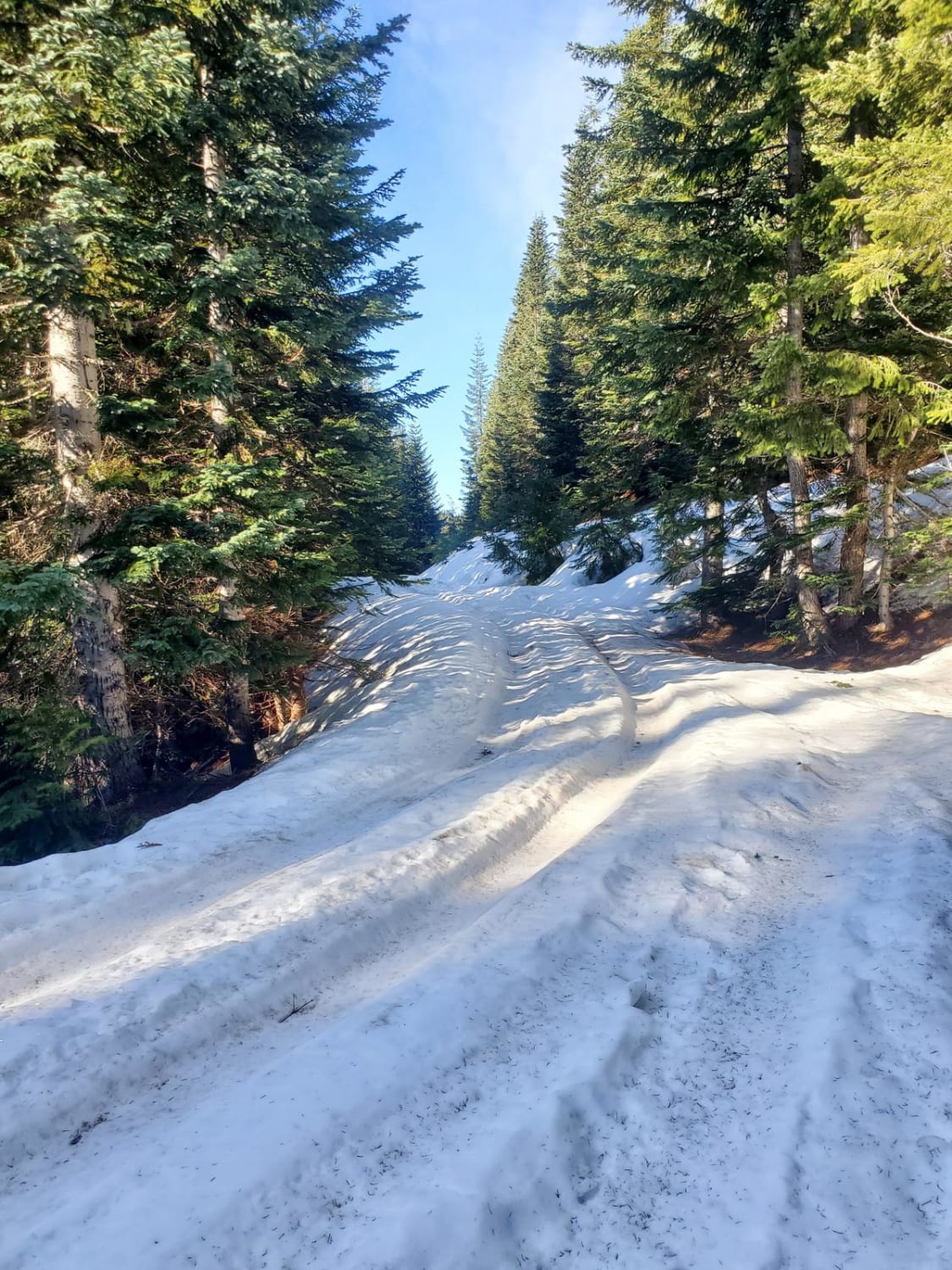
Water crossing, potentially greater than 12" in the winter or spring. Some ledges depending on the amount of recent rain. Snow likely in the winter.
Status Reports
Cabin Creek Trail can be accessed by the following ride types:
- High-Clearance 4x4
- SUV
- SxS (60")
- ATV (50")
- Dirt Bike
Cabin Creek Trail Map
Popular Trails

Curt's Conundrum
NF 7720000 Spur

S. Skagit Hwy to Gee Point
The onX Offroad Difference
onX Offroad combines trail photos, descriptions, difficulty ratings, width restrictions, seasonality, and more in a user-friendly interface. Available on all devices, with offline access and full compatibility with CarPlay and Android Auto. Discover what you’re missing today!
