Catt Creek
Total Miles
15.8
Technical Rating
Best Time
Spring, Summer, Fall
Trail Type
Full-Width Road
Accessible By
Trail Overview
Catt Creek is a gravel and natural surface road, that runs through the Gifford Pinchot National. There are sections that have steep gradual inclines and sharp turns. A couple of sections on this road have started to erode, and soon enough the road might become impassable. There are views of Mount Rainer and a couple of camp spots.
Photos of Catt Creek
Difficulty
One section is beginning to erode and over time might become impassable.
Popular Trails
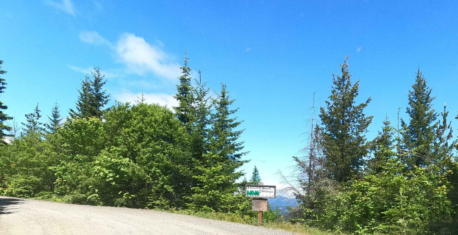
South Cle Elum Ridge - NF3350
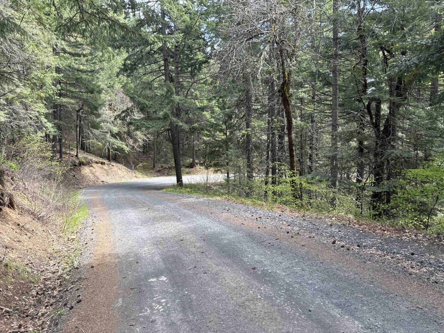
Buck Creek N-1000 to Little Baldy Peak

Poch Ridge Trail
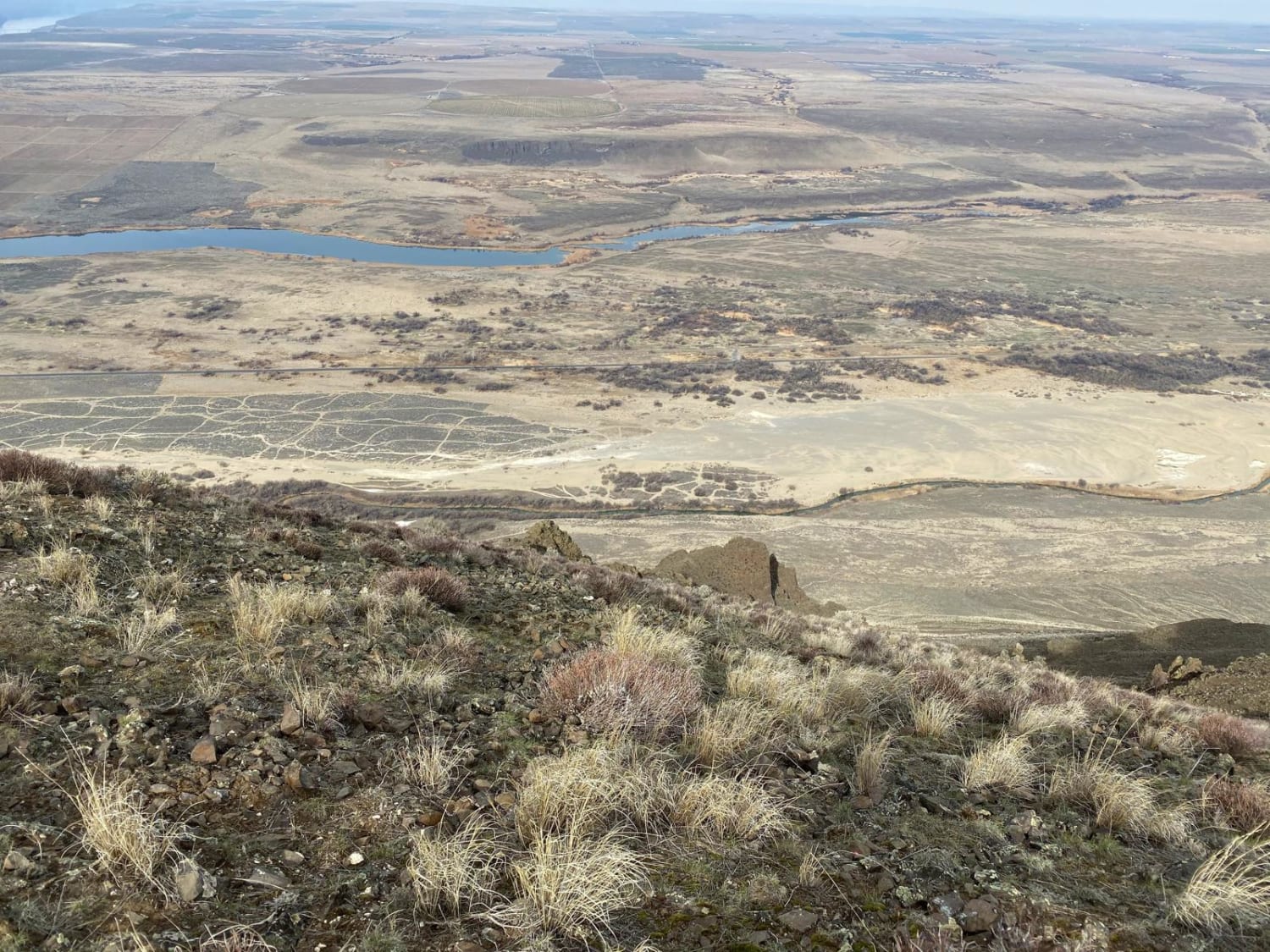
Saddle Mountains
The onX Offroad Difference
onX Offroad combines trail photos, descriptions, difficulty ratings, width restrictions, seasonality, and more in a user-friendly interface. Available on all devices, with offline access and full compatibility with CarPlay and Android Auto. Discover what you’re missing today!
