Chikamin Ridge
Total Miles
7.0
Technical Rating
Best Time
Summer, Spring
Trail Type
Full-Width Road
Accessible By
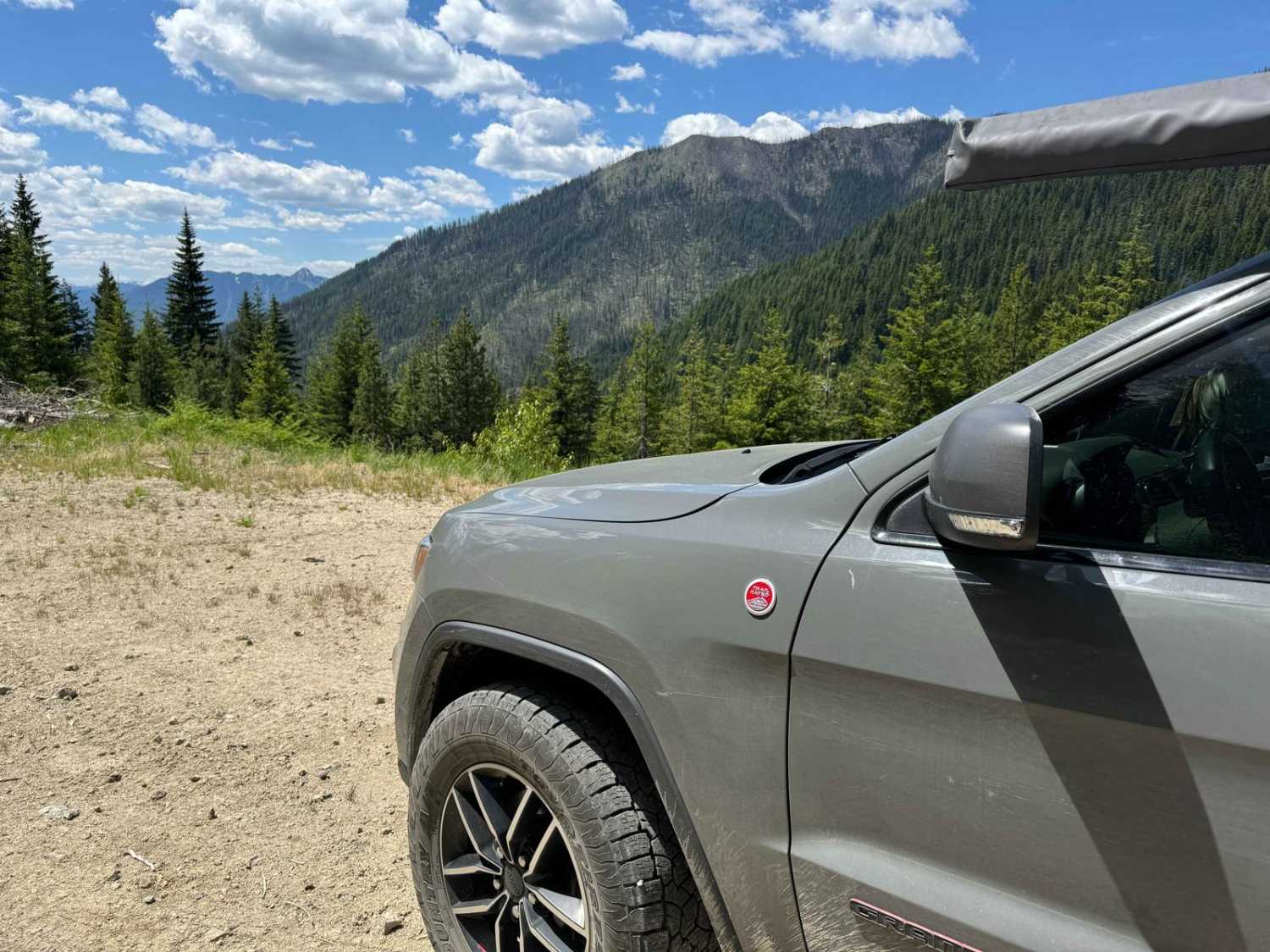
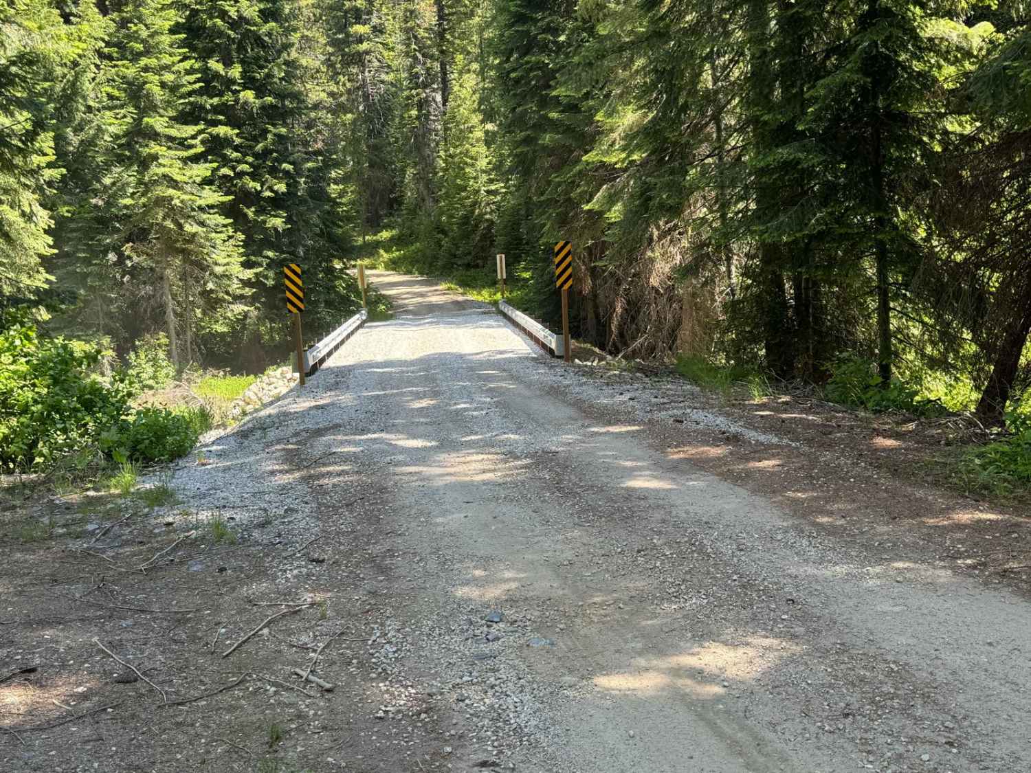
Trail Overview
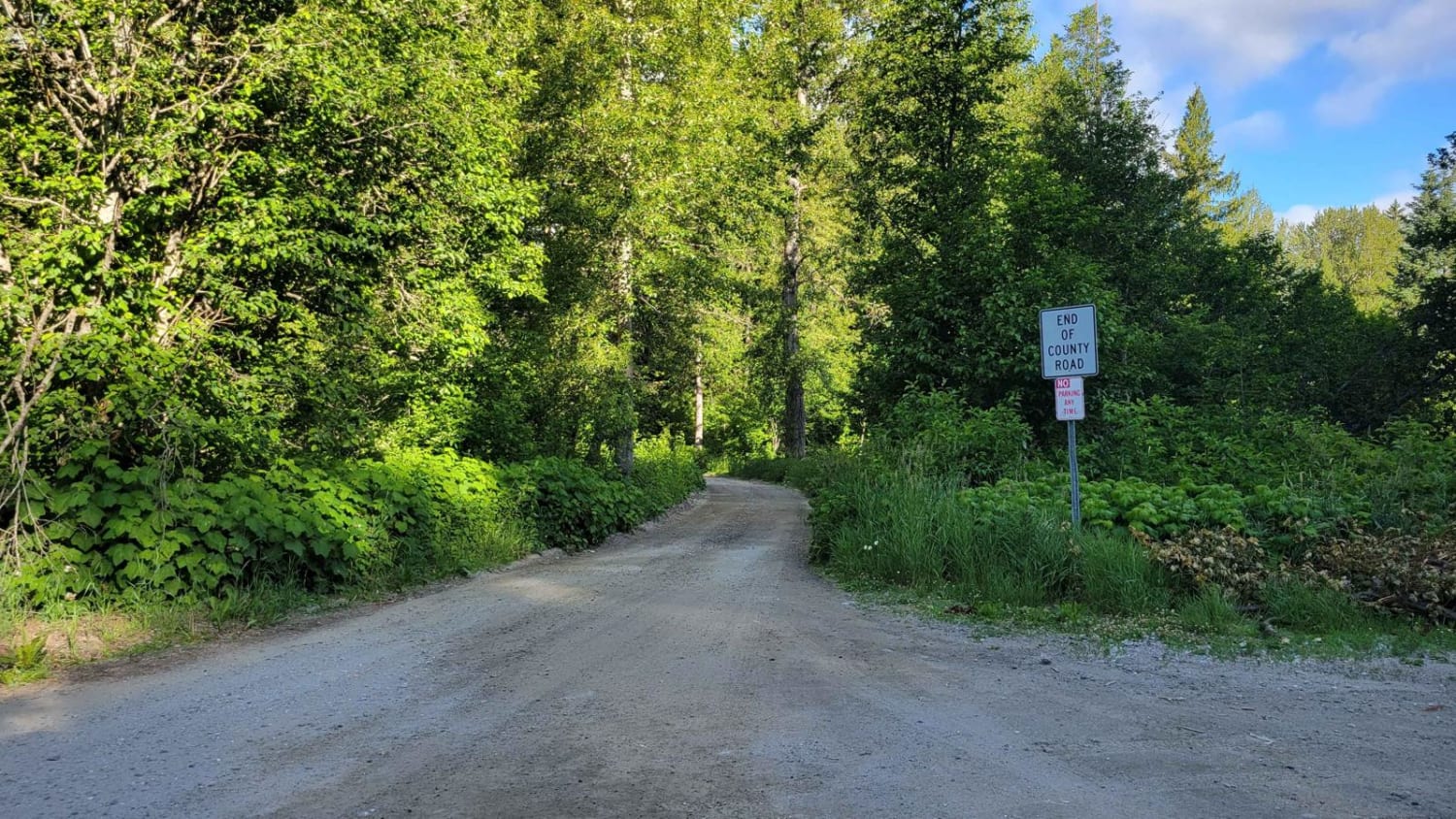
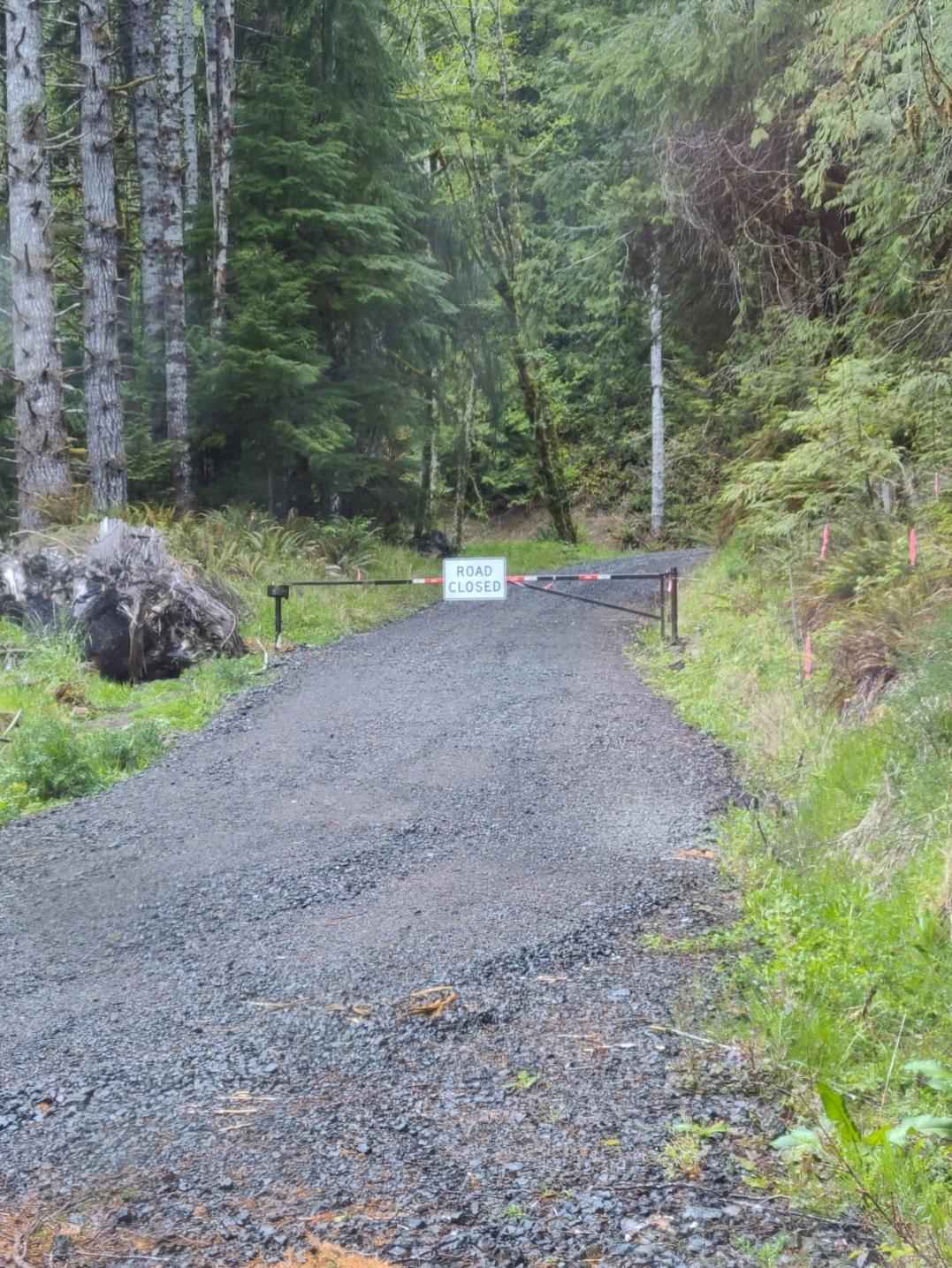
Located in Wenatchee National Forest, Chikamin Ridge offers an easy route for most vehicles with mild rutting, lower than average potholes and a spectacular view at the end. Excellent drone opportunity. No pass is required for access to this trail and any of its hiking trails or ORV trails. Note that this trail is accessible to all but ATV's are not allowed on the OHV trails that are located off Chikamin Ridge. Cellular signal was also weak or nonexistent. The trail does continue slightly beyond what the map indicates but it is large rocks and about 1000 feet in, there is a downed tree completely blocking the path. The trail effectively ends at the large viewpoint which serves as the perfect turnaround, continuing further is not advised. **PLEASE NOTE** Black Bears were spotted on this trail coming back down the mountain. Bring bear spray if you are planning to hike for safety. A few large camping spots with rock fire rings were also spotted directly off the trail.
Photos of Chikamin Ridge
Difficulty
Accessible by almost all SUVs and 4x4s. 2WD SUV/ truck can easily access as well. No major obstacles were currently present.
Status Reports

Popular Trails
Mainline
Duffy Creek Overlook
White River Road - FR 6400
Sitkum Soleduck
The onX Offroad Difference
onX Offroad combines trail photos, descriptions, difficulty ratings, width restrictions, seasonality, and more in a user-friendly interface. Available on all devices, with offline access and full compatibility with CarPlay and Android Auto. Discover what you’re missing today!