Derby Canyon Road
Total Miles
8.7
Technical Rating
Best Time
Summer, Fall
Trail Type
Full-Width Road
Accessible By
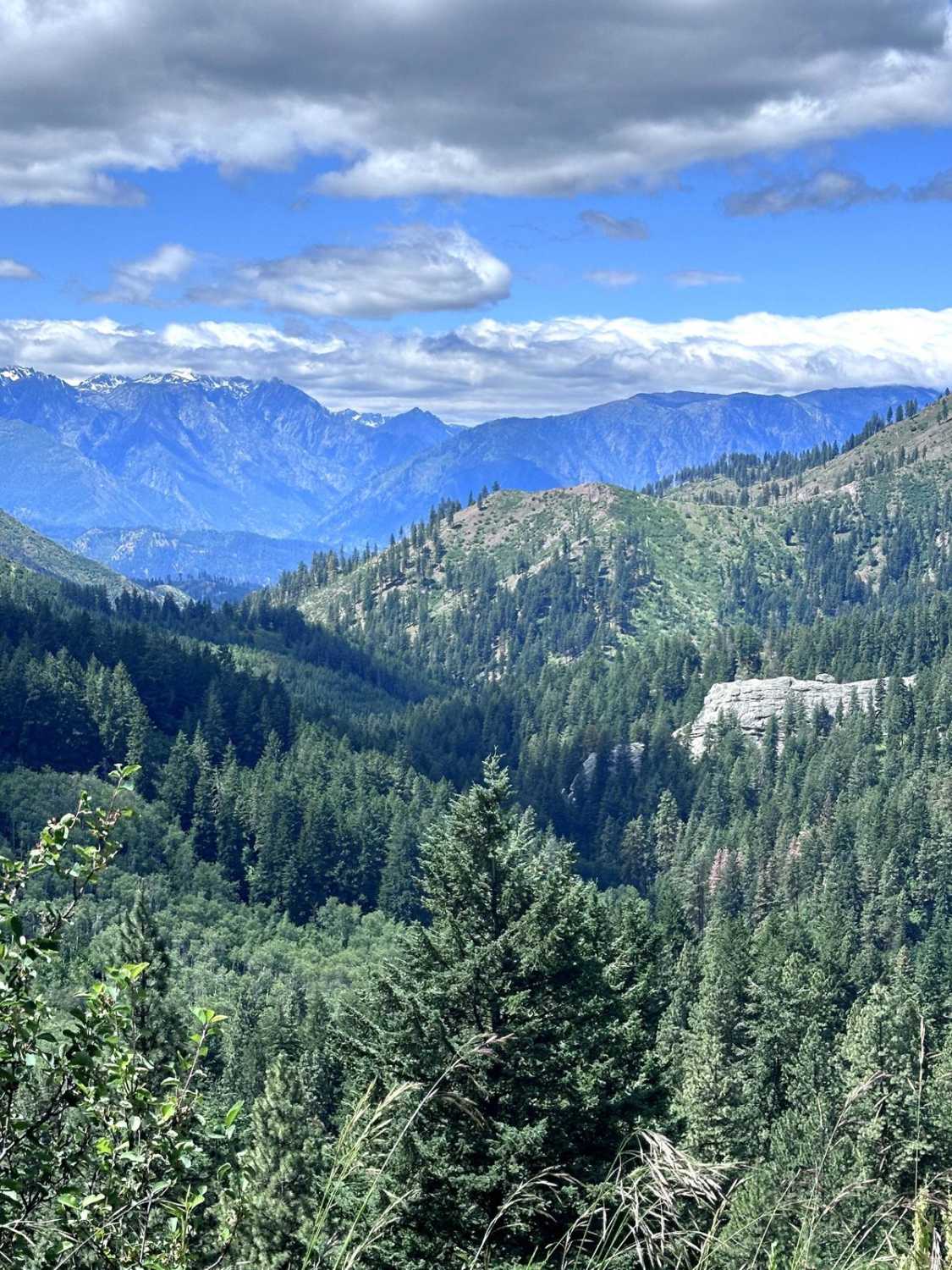
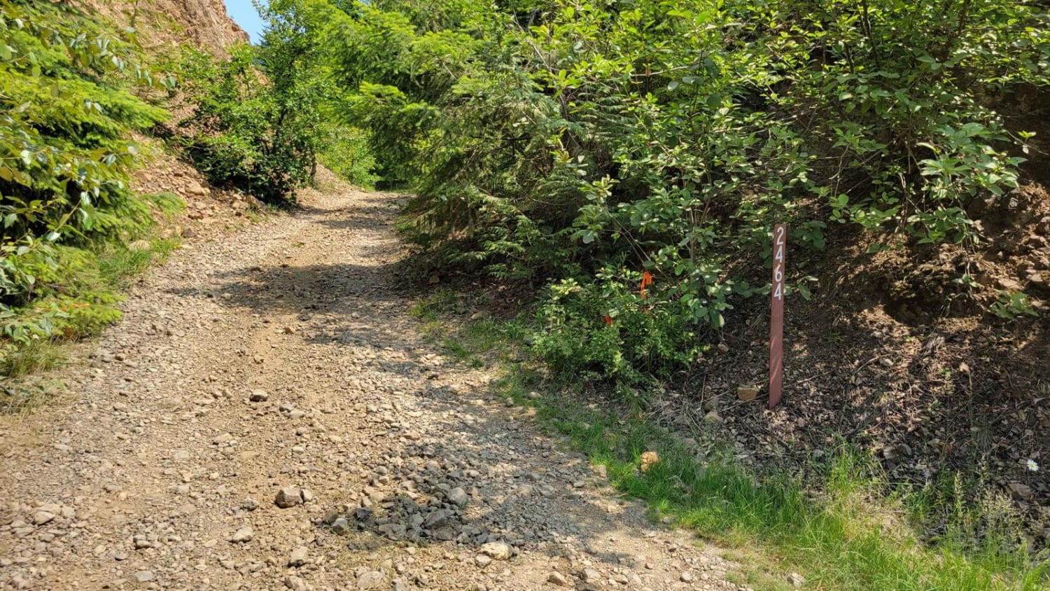
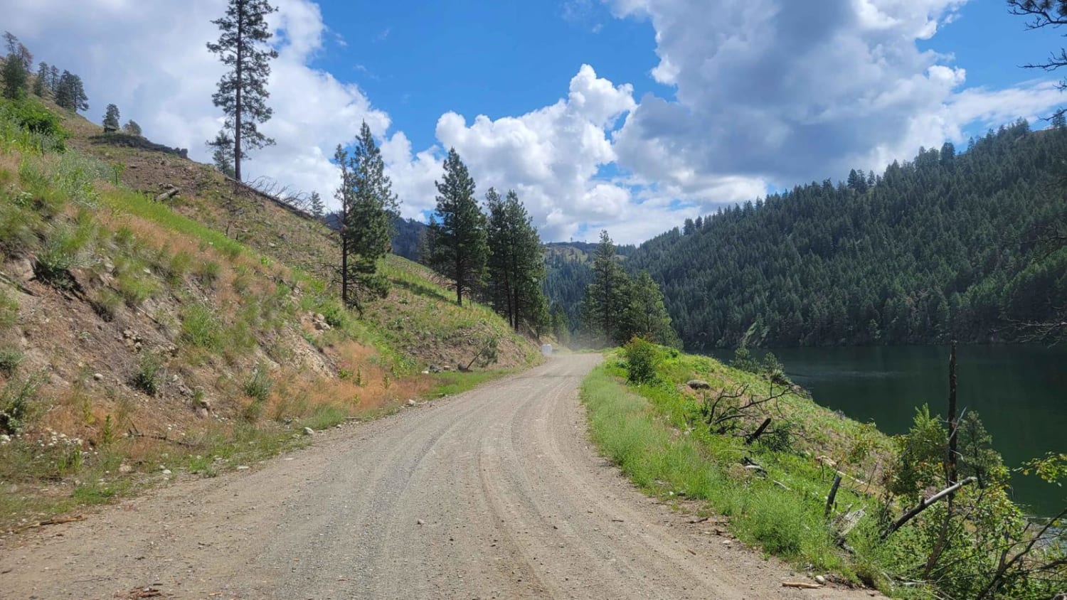
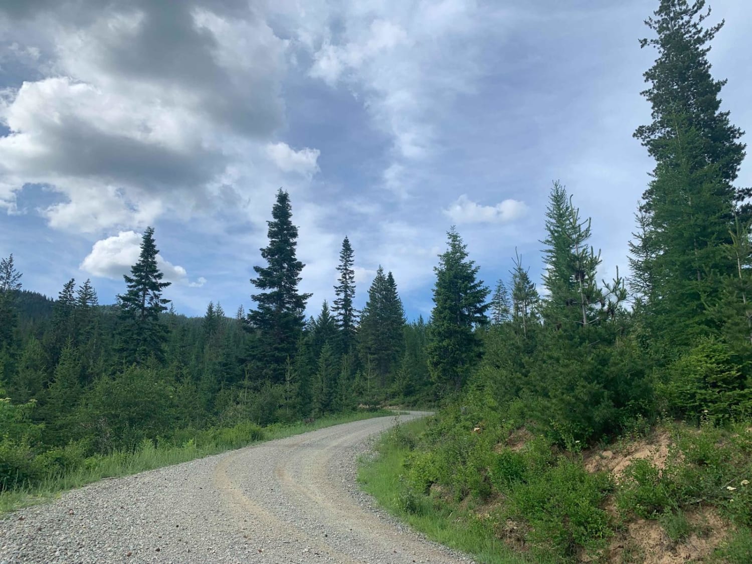
Trail Overview
This 8.7-mile point-to-point trail takes you from Peshastin up into the Entiat Mountains and connects to the Washington Backcountry Discovery Route. This trail is a maintained Forest Service road and easily passable up to Eagle Creek Road. After Eagle Creek Road the trail begins to get rutted. Just after Eagle Creek Road at the first hairpin turn, there may be a flock of sheep with working dogs, please be cautious of this and slow vehicle speed through this area. There are many sweeping views of the surrounding mountains along this trail.
Photos of Derby Canyon Road
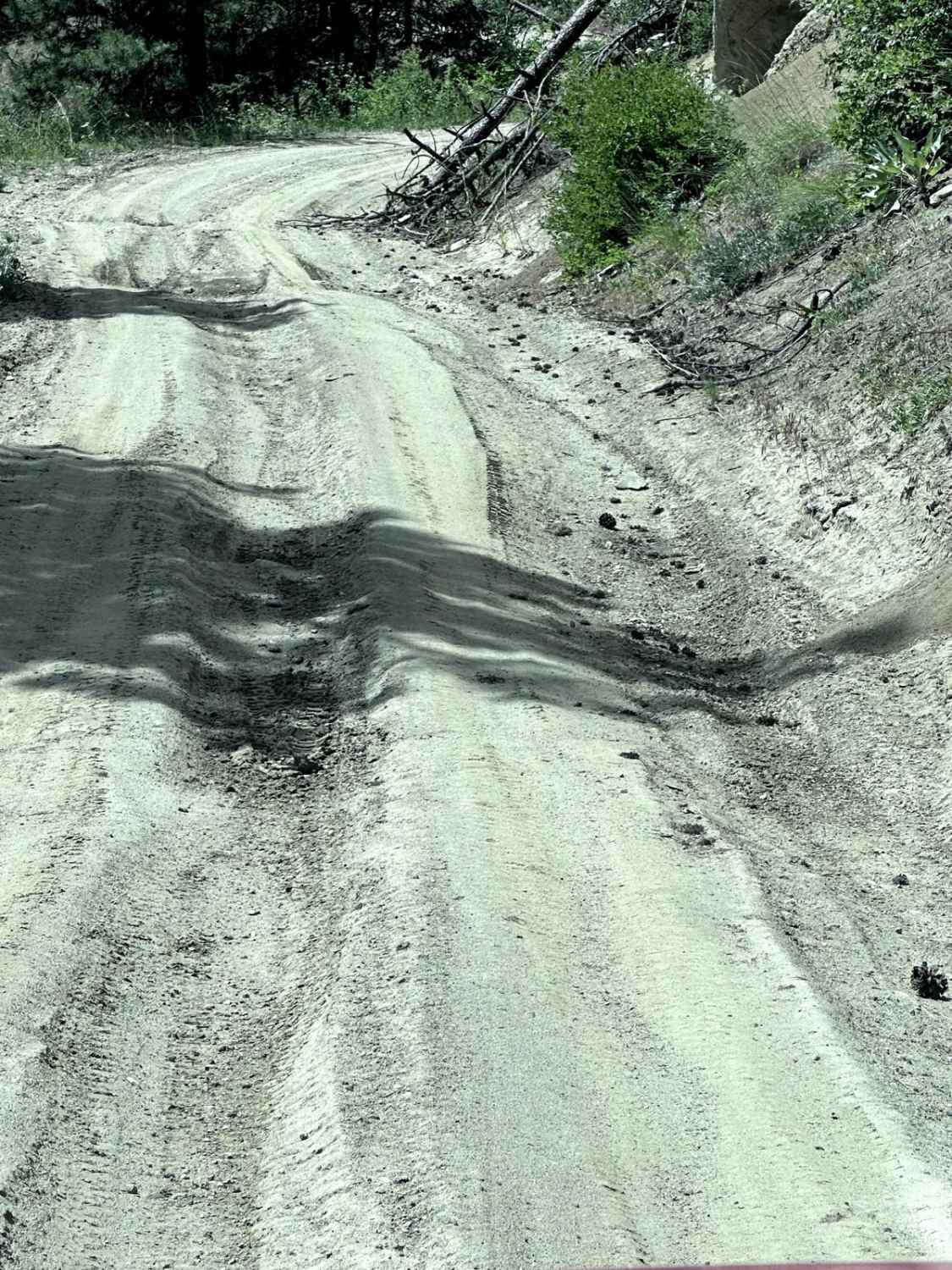
Difficulty
Mostly single-vehicle Road with turnouts. Mud holes, ruts, and washouts less than 12" in depth.
Status Reports
Derby Canyon Road can be accessed by the following ride types:
- High-Clearance 4x4
- SUV
- SxS (60")
- ATV (50")
- Dirt Bike
Derby Canyon Road Map
Popular Trails
Sinlahekin Road
Brickel Creek Road

Langleys Legacy
The onX Offroad Difference
onX Offroad combines trail photos, descriptions, difficulty ratings, width restrictions, seasonality, and more in a user-friendly interface. Available on all devices, with offline access and full compatibility with CarPlay and Android Auto. Discover what you’re missing today!