East Waddell Basin
Total Miles
11.3
Technical Rating
Best Time
Spring, Summer, Fall
Trail Type
50" Trail
Accessible By
Trail Overview
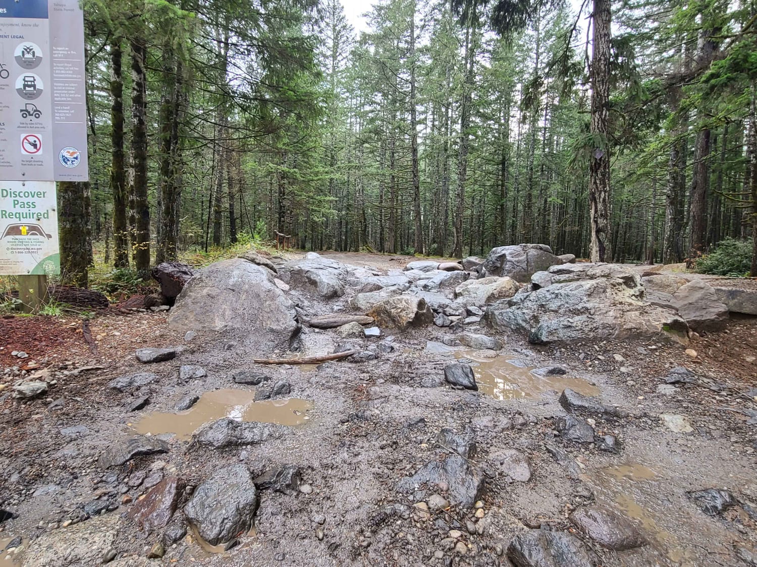
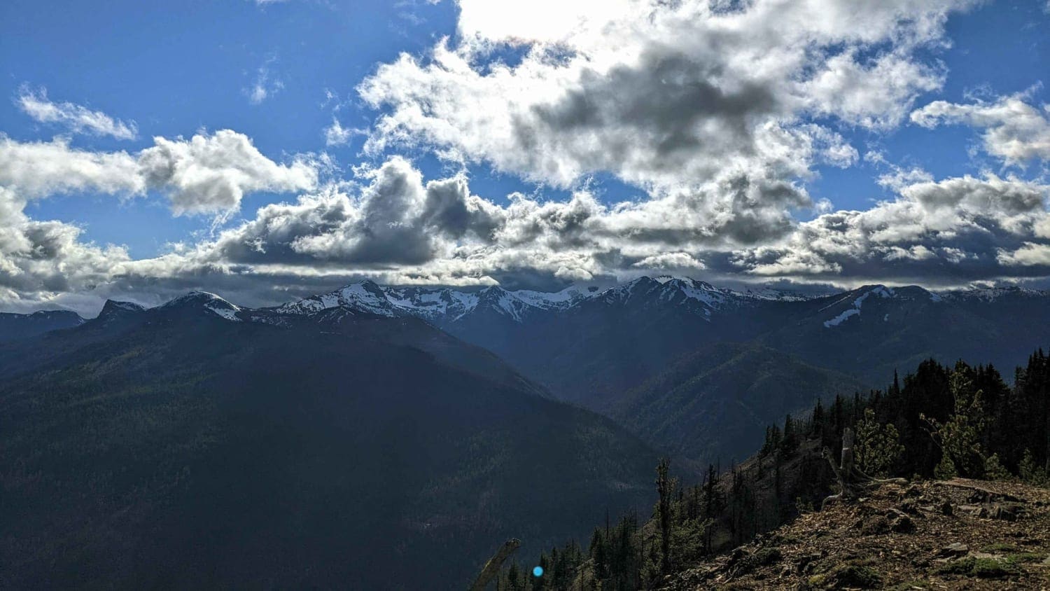
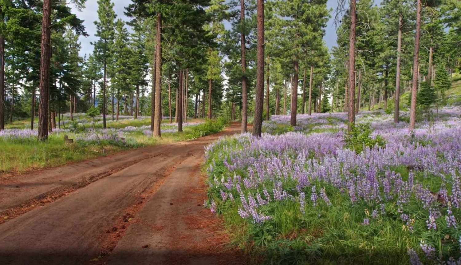
Easternmost trail that runs between Middle Waddell, the Southernmost staging area, and Rock Candy, the Northernmost staging area. The trail runs through fast flowy wooded sections, along with up and down switchbacks in the trees and out in the clear cuts. The trail is mostly composed of clay dirt, with brick pavers set into some higher erosion areas. There are clear cuts that offer great views South and trail can be connected to several others to increase your ride time. It's best on a dirt bike but can be ridden on a quad though expect it to be tight in spots. Clay can be extremely slick during the wet months or after rain, which greatly increases the trail's difficulty overall.
Photos of East Waddell Basin
Difficulty
Trail difficulty can easily increase due to wet weather and clay soil.
Status Reports
East Waddell Basin can be accessed by the following ride types:
- ATV (50")
- Dirt Bike
East Waddell Basin Map
Popular Trails

Tahuya Loop

Timberwolf Mountain - NF1500-190

Tamarack Ridge Road

Lion's Rock to Liberty
The onX Offroad Difference
onX Offroad combines trail photos, descriptions, difficulty ratings, width restrictions, seasonality, and more in a user-friendly interface. Available on all devices, with offline access and full compatibility with CarPlay and Android Auto. Discover what you’re missing today!

