Finney-Cumberland Road
Total Miles
25.6
Technical Rating
Best Time
Summer, Fall
Trail Type
Full-Width Road
Accessible By
Trail Overview
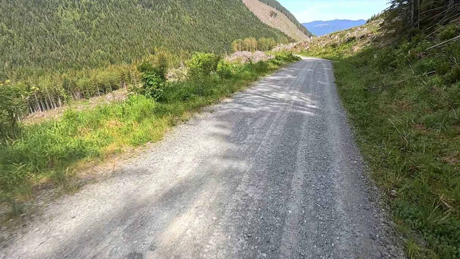
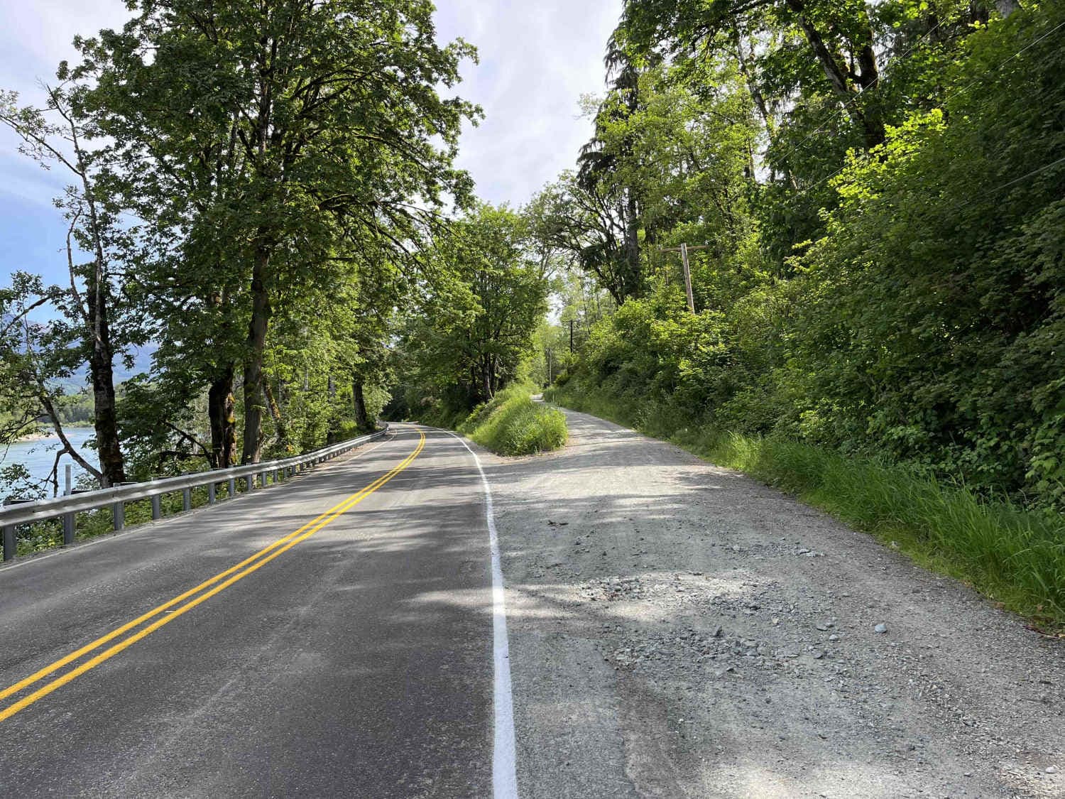
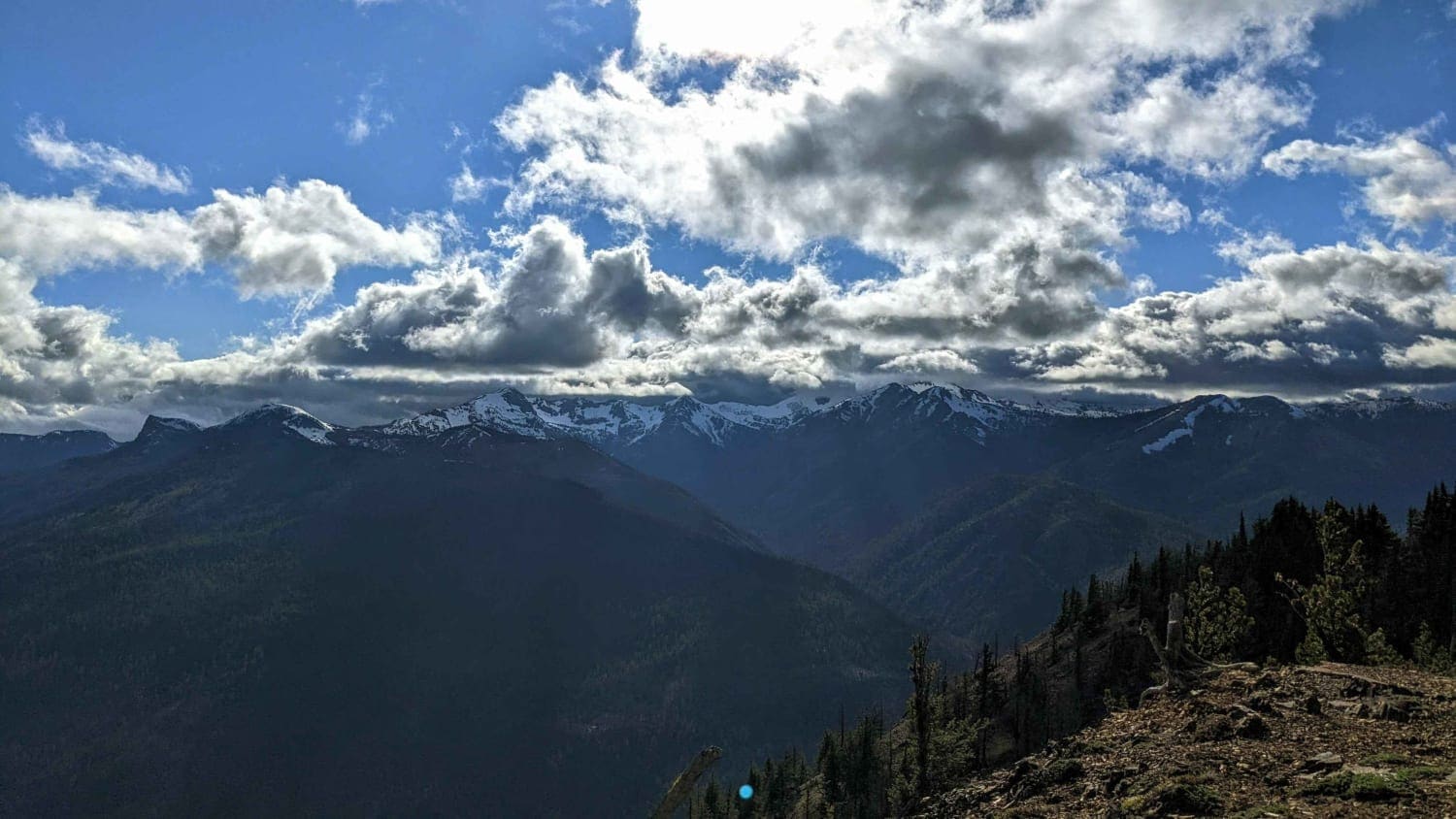
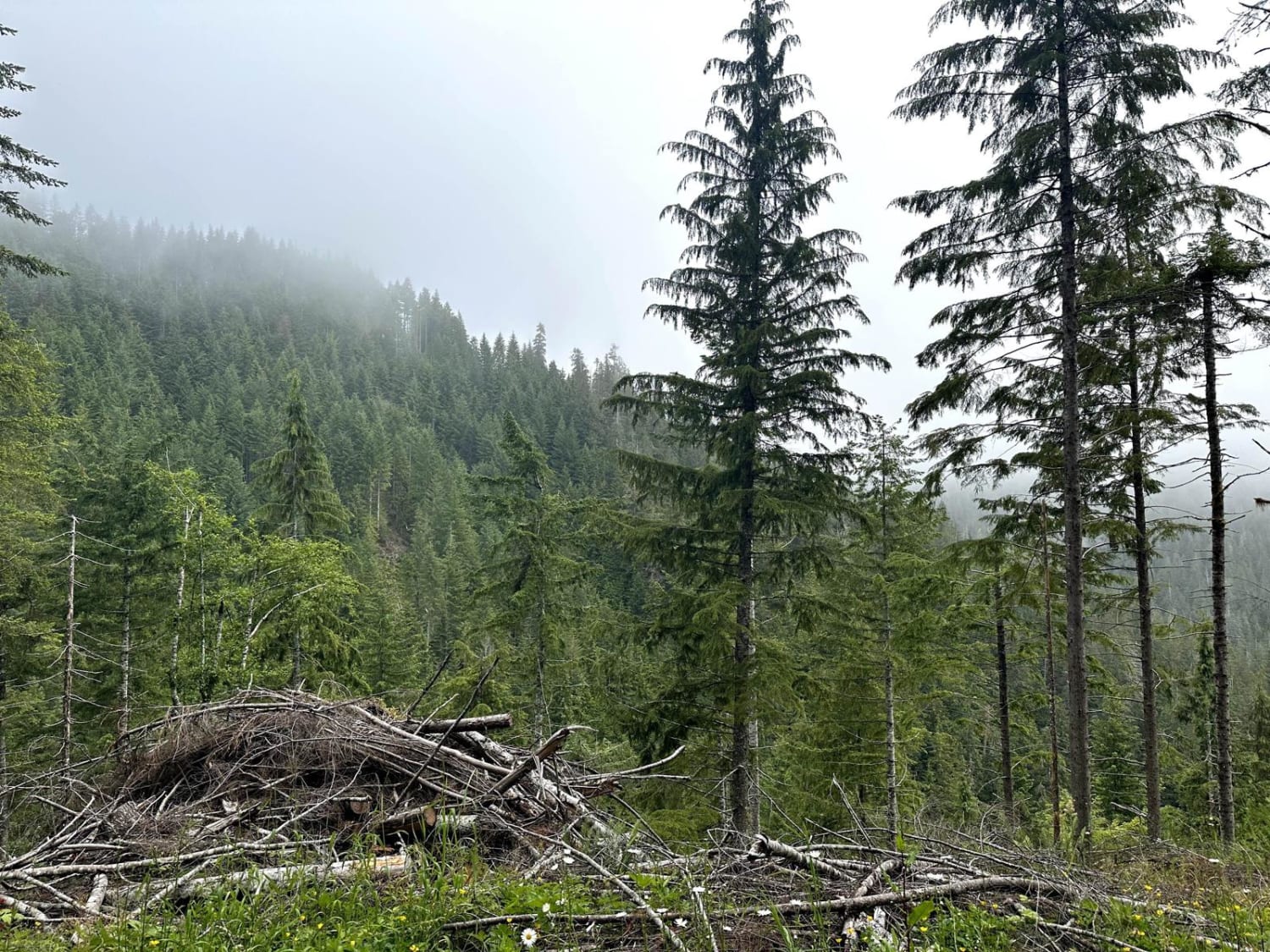
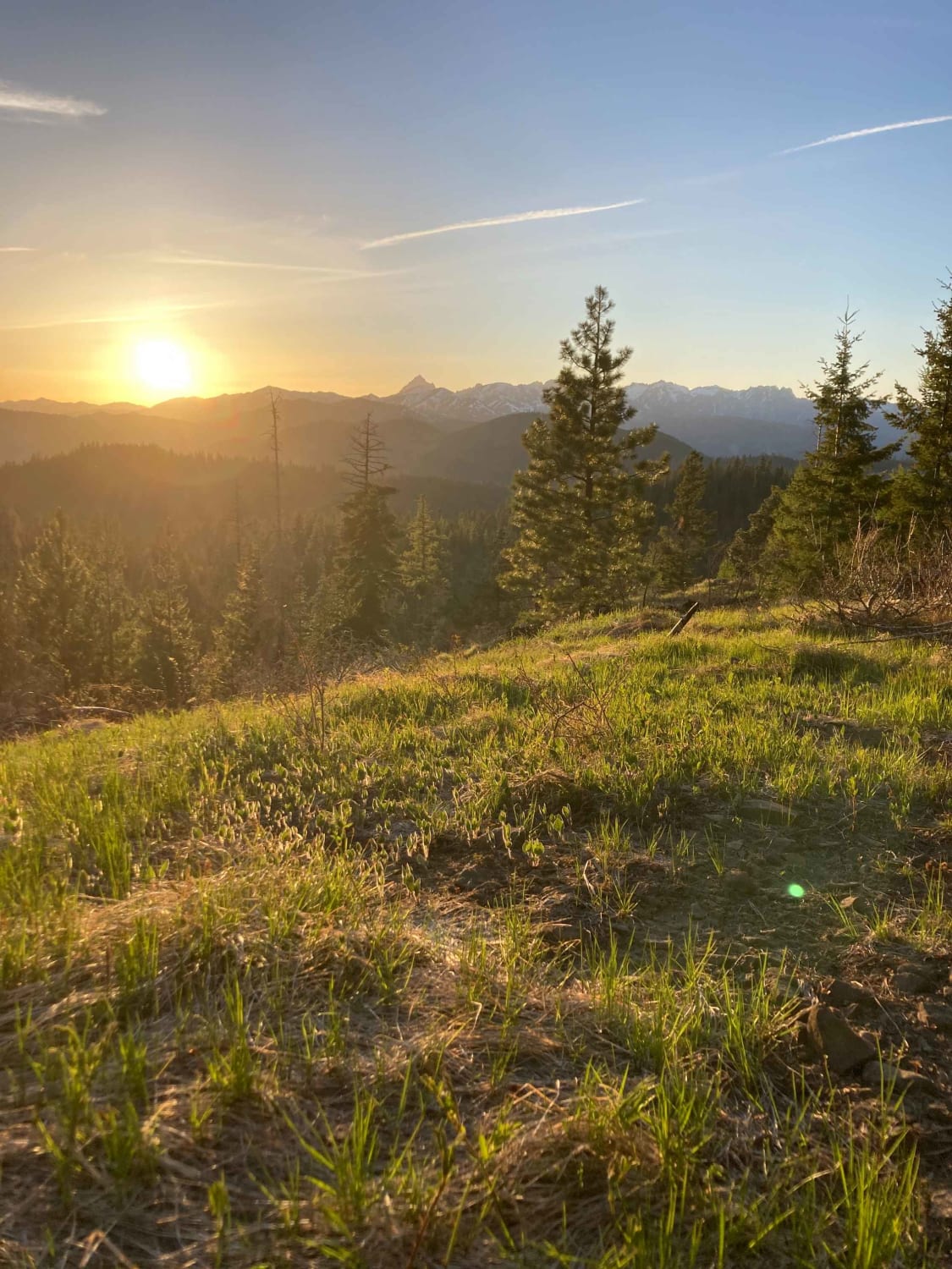
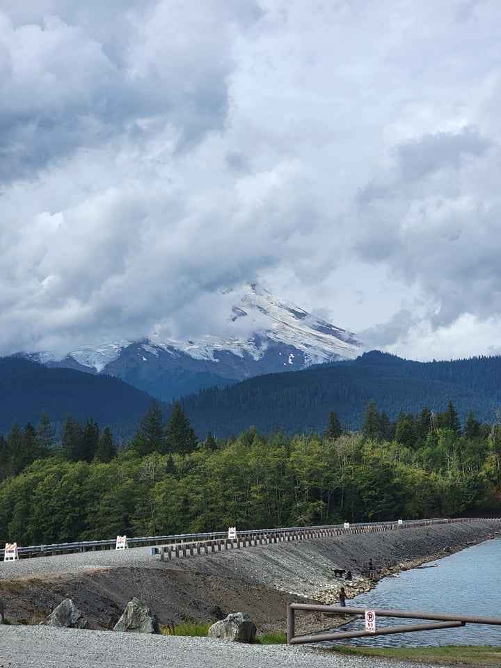
Finney-Cumberland Road/NF17 is a point-to-point trail leading west to east which leaves and then reconnects with South Skagit Highway. At its current condition, this trail is passable only to capable SUVs and better, due to recent water damage from snow runoff (see ruts/damage in pictures). The road surface is mostly gravel, with a few short sections of hardpacked dirt and some short sections of pavement on the east end. There are several viewpoints, spur trails, and dispersed campsites along the way. This trail does not have bailouts, so be sure to come prepared! When taken west to east, the trail starts with a steep rocky climb out of Skagit Valley. At approximately 5 miles in, the trail damage starts and continues to reappear on and off in small sections for 12 miles. After that point, the trail becomes consistently smooth, with some small paved sections until it ends at the border of the Mount Baker Snoqualmie National Forest (see last picture for endpoint).
Photos of Finney-Cumberland Road
Difficulty
Most of Finney-Cumberland is smooth gravel, but there is on-and-off water damage with deep ruts. The lack of bailout options also contributes to the difficulty.
Status Reports
Finney-Cumberland Road can be accessed by the following ride types:
- High-Clearance 4x4
- SUV
- SxS (60")
- ATV (50")
- Dirt Bike
Finney-Cumberland Road Map
Popular Trails
Timberwolf Mountain - NF1500-190
Humptulips Ridgeline Trail
View for Days
Baker River Road
The onX Offroad Difference
onX Offroad combines trail photos, descriptions, difficulty ratings, width restrictions, seasonality, and more in a user-friendly interface. Available on all devices, with offline access and full compatibility with CarPlay and Android Auto. Discover what you’re missing today!