FS519
Total Miles
3.0
Technical Rating
Best Time
Spring, Summer, Fall
Trail Type
Full-Width Road
Accessible By
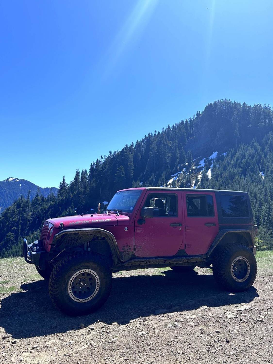
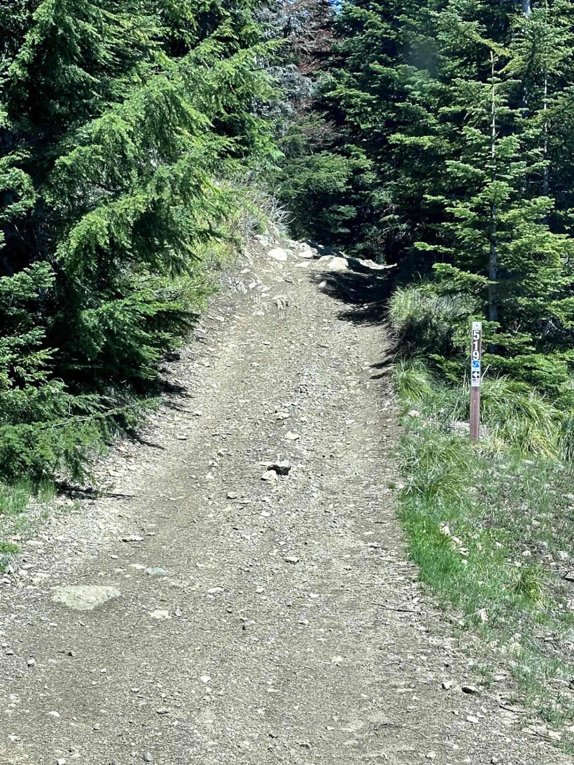
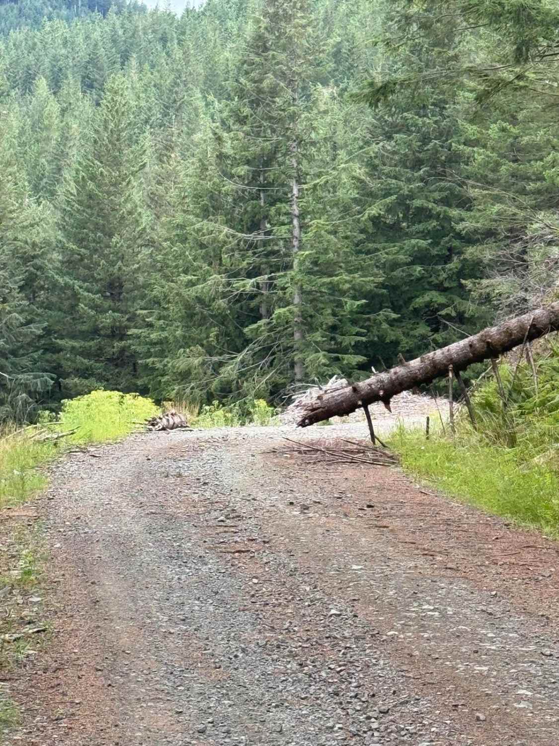
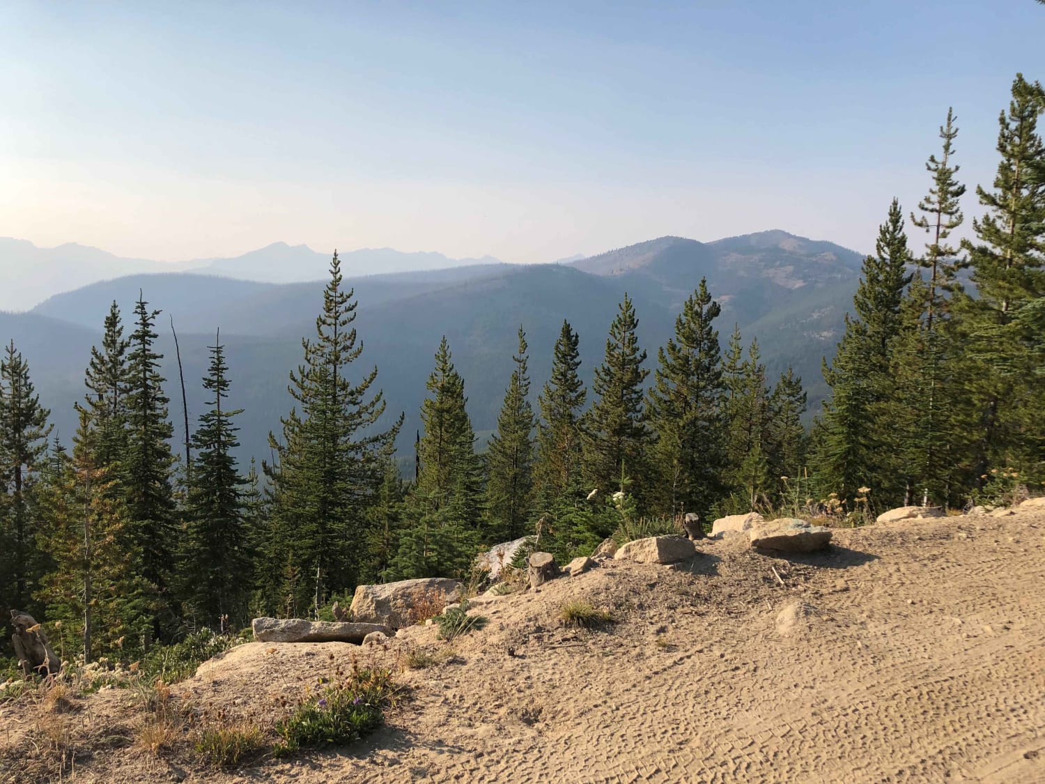
Trail Overview
This 2.8-mile point-to-point trail connects the Poch Ridge trail to the Poch Peak trail, completing a loop around the Evans Creek ORV area. This is the most difficult portion of the loop, with steep grades and narrow shelf roads with off-camber sections. In the middle of this trail, there is one fallen tree that creates an obstacle that is 2 feet in height. Longer-wheelbase vehicles may have difficulty passing this obstacle, which requires a sharp turn to get over. There is an optional small rock area along this trail with some fun ledges up to 3 feet in height to climb. This trail becomes much more challenging after rainfall.
Photos of FS519
Difficulty
Expect short steep grades and narrow shelf roads with off-camber sections. One sharp turn will require a multi-point turn by longer-wheelbase vehicles. One tree stump obstacle is up to 2 feet high with a sharp turn. The wet season will make this trail much more challenging.
History
Evans Creek Trailhead provides access to 40 miles of combined 4WD and motorcycle/quad trails of varying difficulty. This is a fee area and requires a US Forest Pass or Interagency Pass.
FS519 can be accessed by the following ride types:
- High-Clearance 4x4
- SUV
- SxS (60")
- ATV (50")
FS519 Map
Popular Trails

Low Road Trail
West Shady Pass to Big Hill
The onX Offroad Difference
onX Offroad combines trail photos, descriptions, difficulty ratings, width restrictions, seasonality, and more in a user-friendly interface. Available on all devices, with offline access and full compatibility with CarPlay and Android Auto. Discover what you’re missing today!