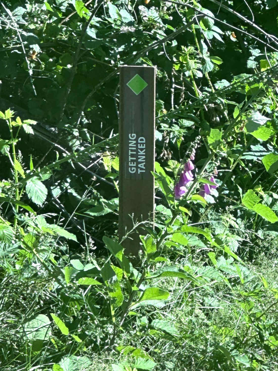
Getting Tanked
Total Miles
0.4
Elevation
309.86 ft
Duration
0.5 Hours
Technical Rating
Best Time
Spring, Summer, Fall
Trail Overview
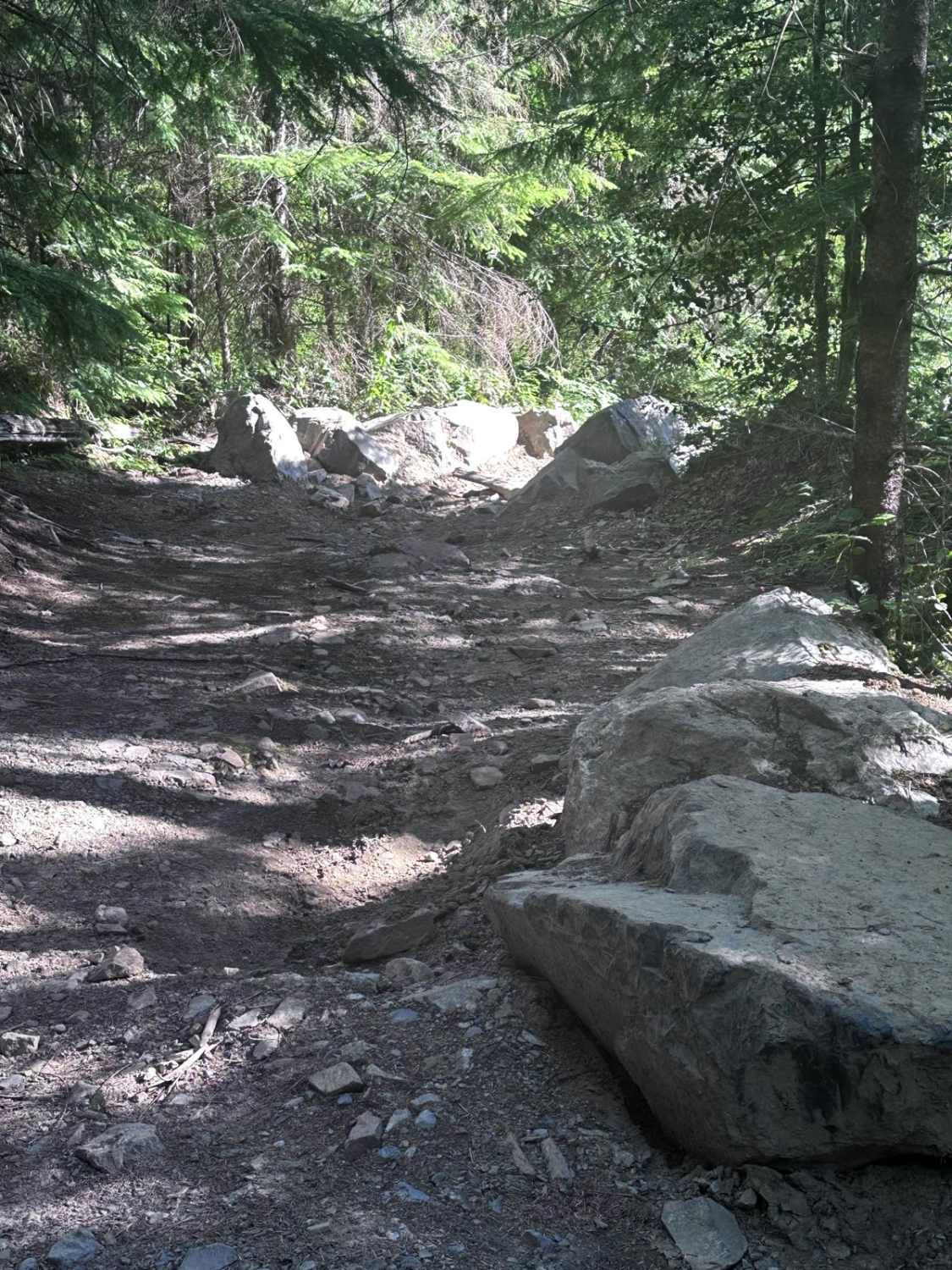
This short point-to-point route is part of the Reiter OHV area for 4x4 vehicles. This trail is full of great rock obstacles to negotiate, which twists through trees and rocks in between the many obstacles. Some of the more difficult ones have bypasses, but not all. Good placement of tires is necessary to negotiate many of the rock obstacles. Vehicles with less than 16" of belly height will have difficulty on this trail. Longer wheelbase vehicles will need higher clearances. Recommend a minimum of 35" tires with front and rear lockers. When the trail is muddy traction will become more challenging.
Photos of Getting Tanked
Difficulty
There is a 2 foot ledge at the beginning of the trail that must be negotiated. The remainder of obstacles are medium sized boulders that require at least 16" of belly clearance to negotiate. Very tight turns with pinch points between rocks and tree stumps.
History
The 10,000 acre Reiter Foothills Forest is a continuous block of forest land located between the towns of Gold Bar and Index providing over 4 miles of single track motorcycle trails, 2 miles of ATV trails, and over 2 miles of challenging 4X4 trails with a high density of rock obstacles.
Status Reports
Popular Trails

Suntop Fire Lookout
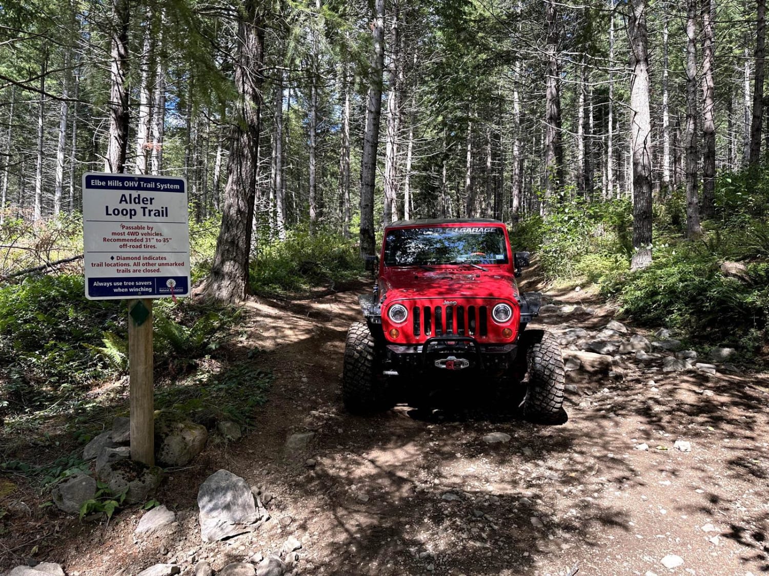
Alder Loop Trail
W2000 to W2070 and W2071
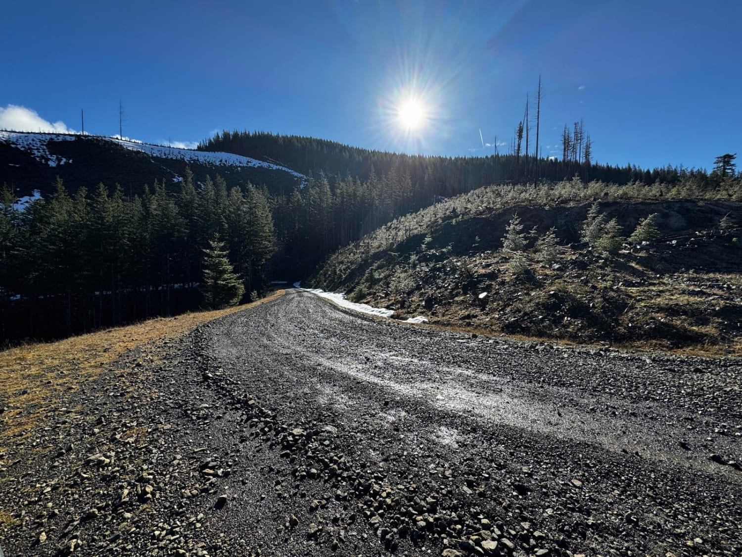
Olympic National Forest, Quilcene Range
The onX Offroad Difference
onX Offroad combines trail photos, descriptions, difficulty ratings, width restrictions, seasonality, and more in a user-friendly interface. Available on all devices, with offline access and full compatibility with CarPlay and Android Auto. Discover what you’re missing today!