Hole in the Rock
Total Miles
3.2
Technical Rating
Best Time
Summer, Spring
Trail Type
High-Clearance 4x4 Trail
Accessible By
Trail Overview
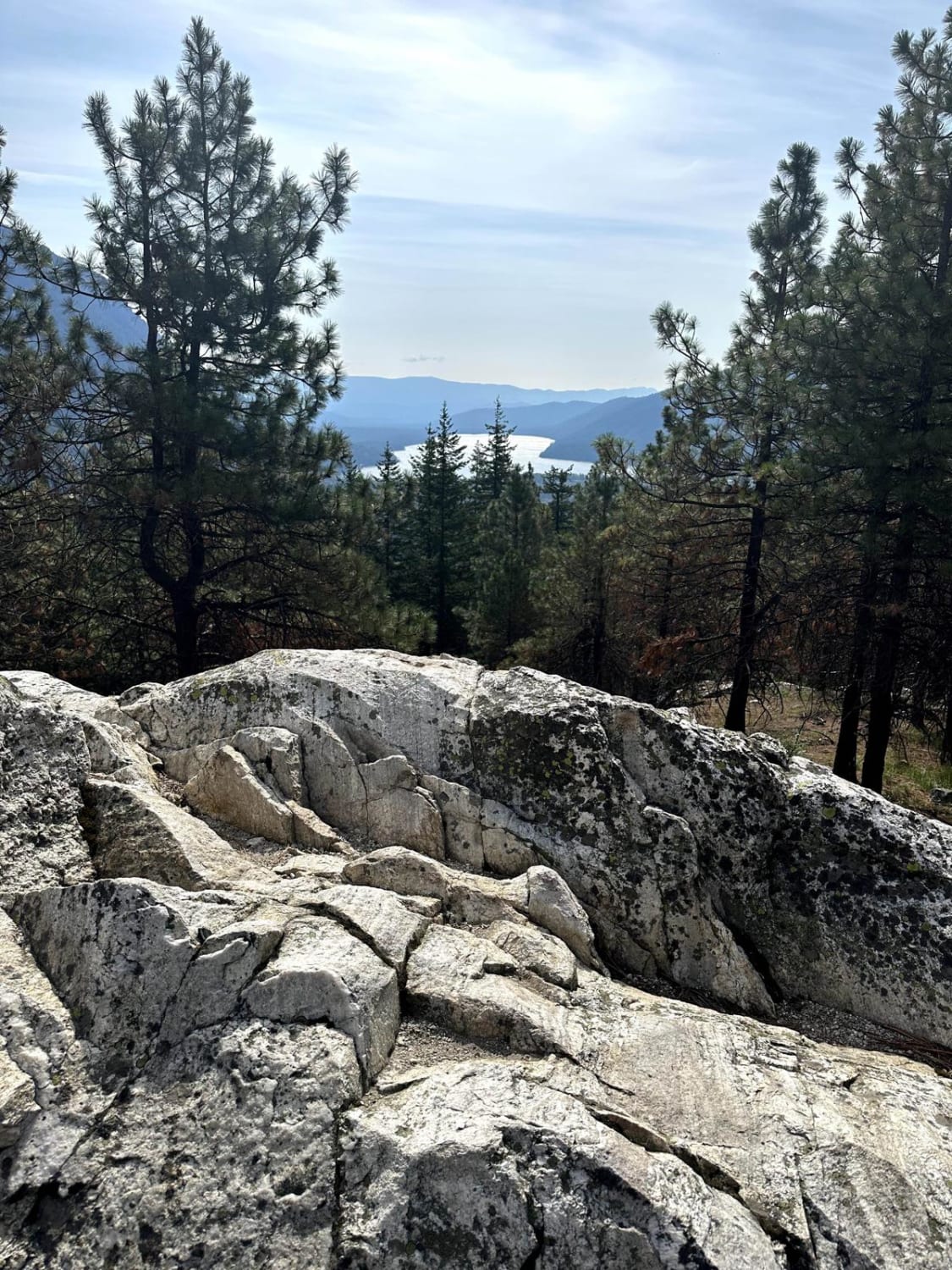
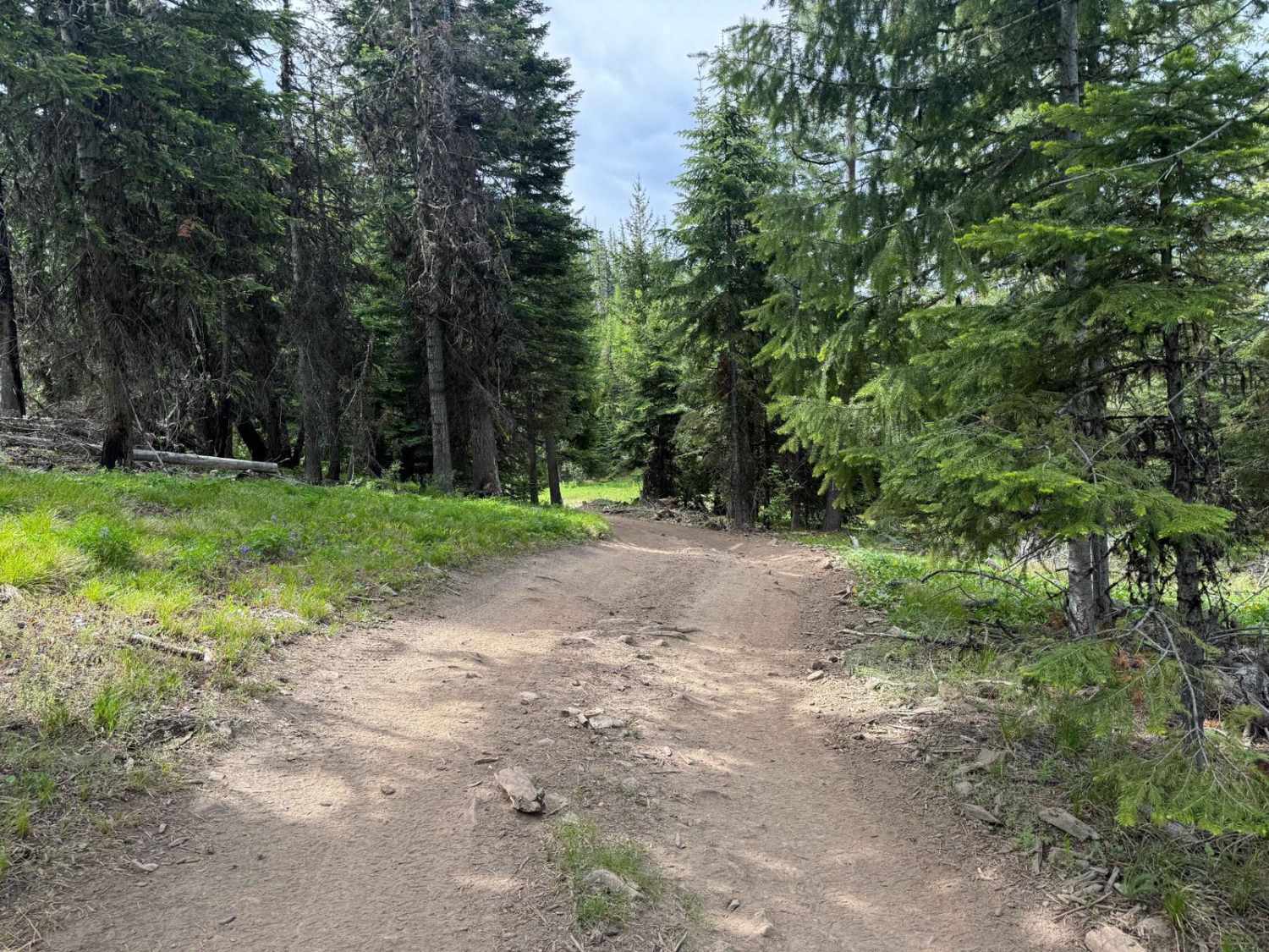
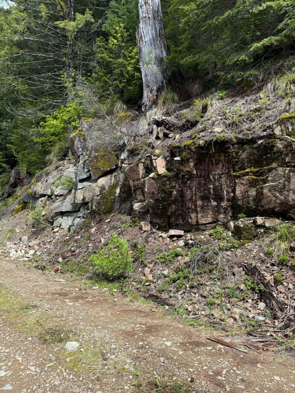
Hole in the Rock is a technically challenging trail that while only 3.3 miles in length, is nonstop obstacles. Heavy, very deep rutting throughout. A spotter is highly recommended. This trail is NOT accessible to full-size trucks or larger SUVs much beyond a 4Runner size. Tight turns and incredibly narrow paths through trees make it impassable by larger vehicles. The trail can be accessed from two points, either from FS 9712 off HWY 97 (recommended) or the city of Liberty. The trail begins with two deep horizontal ruts that you must take at an angle to avoid high centering. Your first left continuing on the trail is a steep mini boulder path. Airing down 100% recommended. There is a large staging area at the start of the trail to pull off and air down. Heavy mosquito presence, bring bug spray! The low-hanging branches, downed trees and dense shrubbery of this tight trail will pinstripe your vehicle. RTT's also subject to heavy scraping. There are some bypasses for the more challenging obstacles but not all. Small water crossing by a marshy pond that could potentially be much deeper after a good rain. The last .75 mile has sections of downhill on soft, silty ground with large rocks and a high potential for slipping in locations. AT&T 5G signal on the entire duration of the trail until hitting Cougar Gulch. The end of the trail (or start depending on which way you access it) offers a spectacular view of "Hole in the Rock". A series of rock formations overlooking a large valley with the "hole" being on the right formation which you can stand in.
Photos of Hole in the Rock
Difficulty
Heavy rutting up to 2+ feet deep, large rocks, tight technical turns, steep grades on large, rocky surfaces both up and downhill. Deep pits that drop 18" where one front tire will not be able to touch the ground (there is a bypass for this obstacle), potentially deep water crossing, and medium downed tree crossing.
History
Taking the 97 to FS9712 entrance, where the trail leads left, heading straight takes you to abandoned mine shafts. Look but do not touch!
Popular Trails

Elbe Hills Boat Ramp

Ben's Revenge

Wenatchee Ridge Overlook Trail
The onX Offroad Difference
onX Offroad combines trail photos, descriptions, difficulty ratings, width restrictions, seasonality, and more in a user-friendly interface. Available on all devices, with offline access and full compatibility with CarPlay and Android Auto. Discover what you’re missing today!


