Hunters Bluff
Total Miles
4.2
Technical Rating
Best Time
Summer, Fall
Trail Type
Full-Width Road
Accessible By
Trail Overview
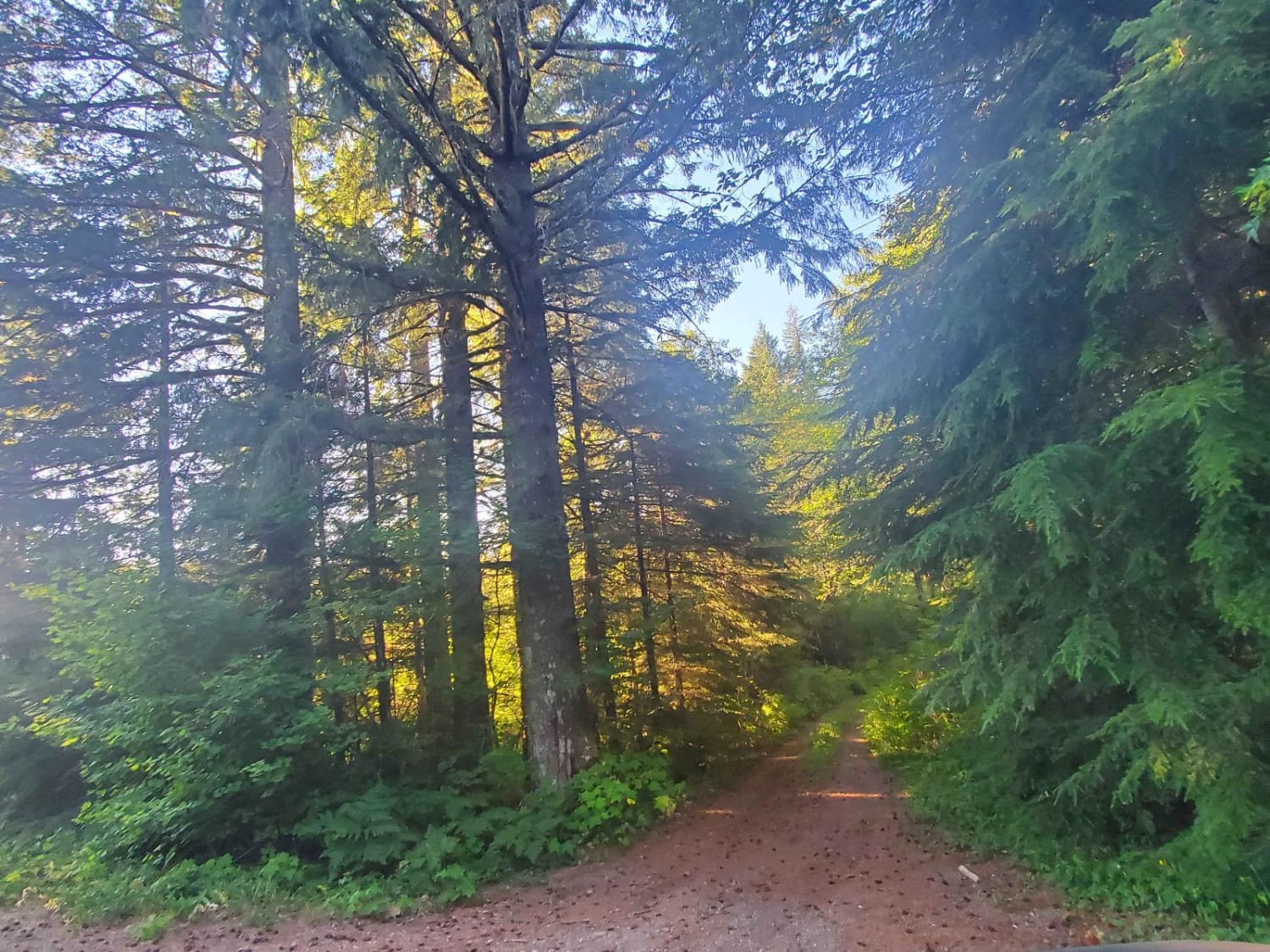
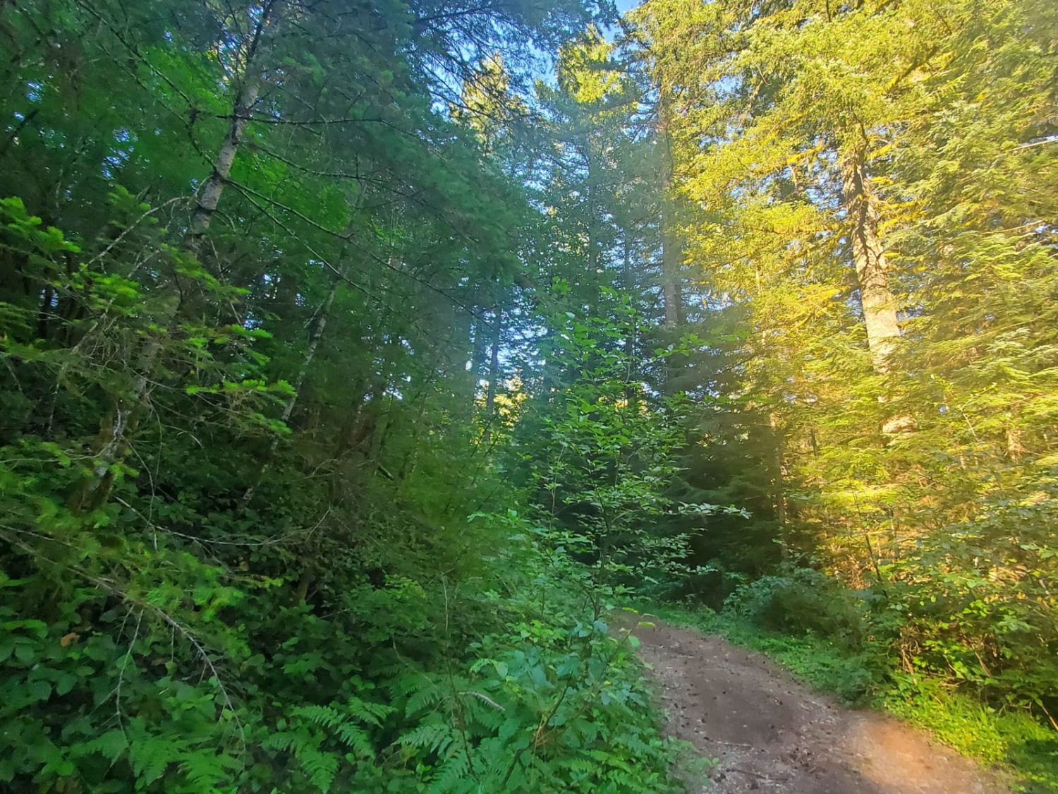
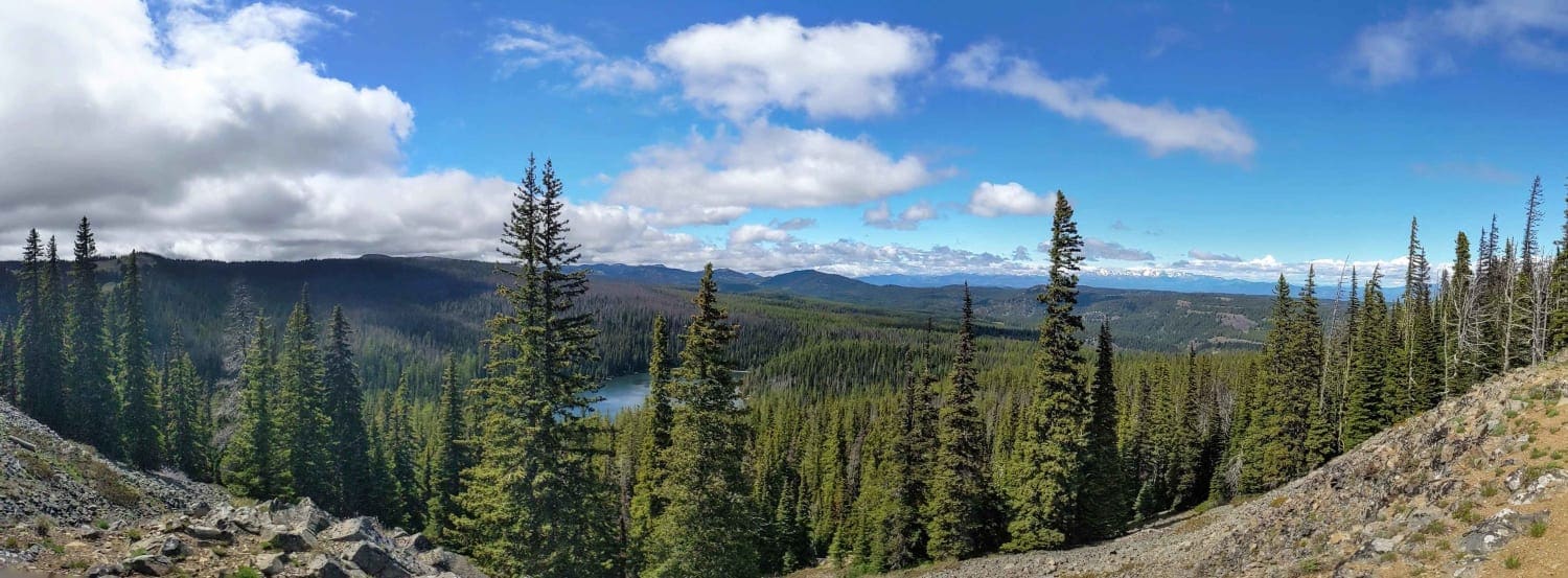
Take the forest-covered path on your right. Deep woods become beautiful cliff sides, camping spots, and an overhang to a small creek where local wildlife comes to sip water. Large scat tracks litter this trail in Gifford Forest, as well as cliffsides, rough rocky patches, and fantastic views.
Photos of Hunters Bluff
Difficulty
Rough rock patches line the path, sneaking up on drivers. Steep inclines catch you by surprise. Water can be found on the trail even after 4 weeks of 90-degree weather and the mountain being barren. This is one car wide with minimal turnaround spots. Washouts on the sides of the road from snowfall have created off-camber sections that are over 18 inches.
History
For over 6,000 years, people have played a part in the ecology of what is now the Gifford Pinchot National Forest. The earliest Native Americans hunted in meadows below receding alpine glaciers. As the climate warmed, descendants of these early hunters gathered an abundance of food and other necessities. Familiarity with the forest's resources allowed larger, more settled populations, and the natives began to manage the landscape for game and other food. One method the natives used was burning areas to increase huckleberry production. Archaeological investigations within Gifford Pinchot National Forest continue to discover new and exciting information about the lives of the first Americans. (USDA Forest Service, Last accessed 7/27/23.)
Status Reports
Hunters Bluff can be accessed by the following ride types:
- High-Clearance 4x4
- SUV
- SxS (60")
- ATV (50")
- Dirt Bike
Hunters Bluff Map
Popular Trails
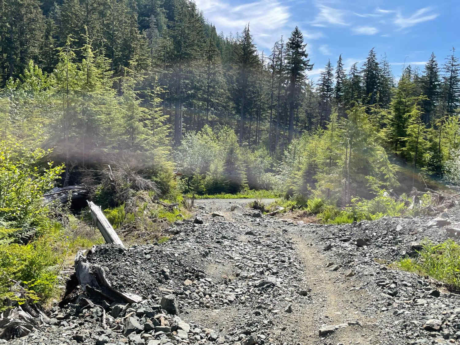
Humps and Bumps
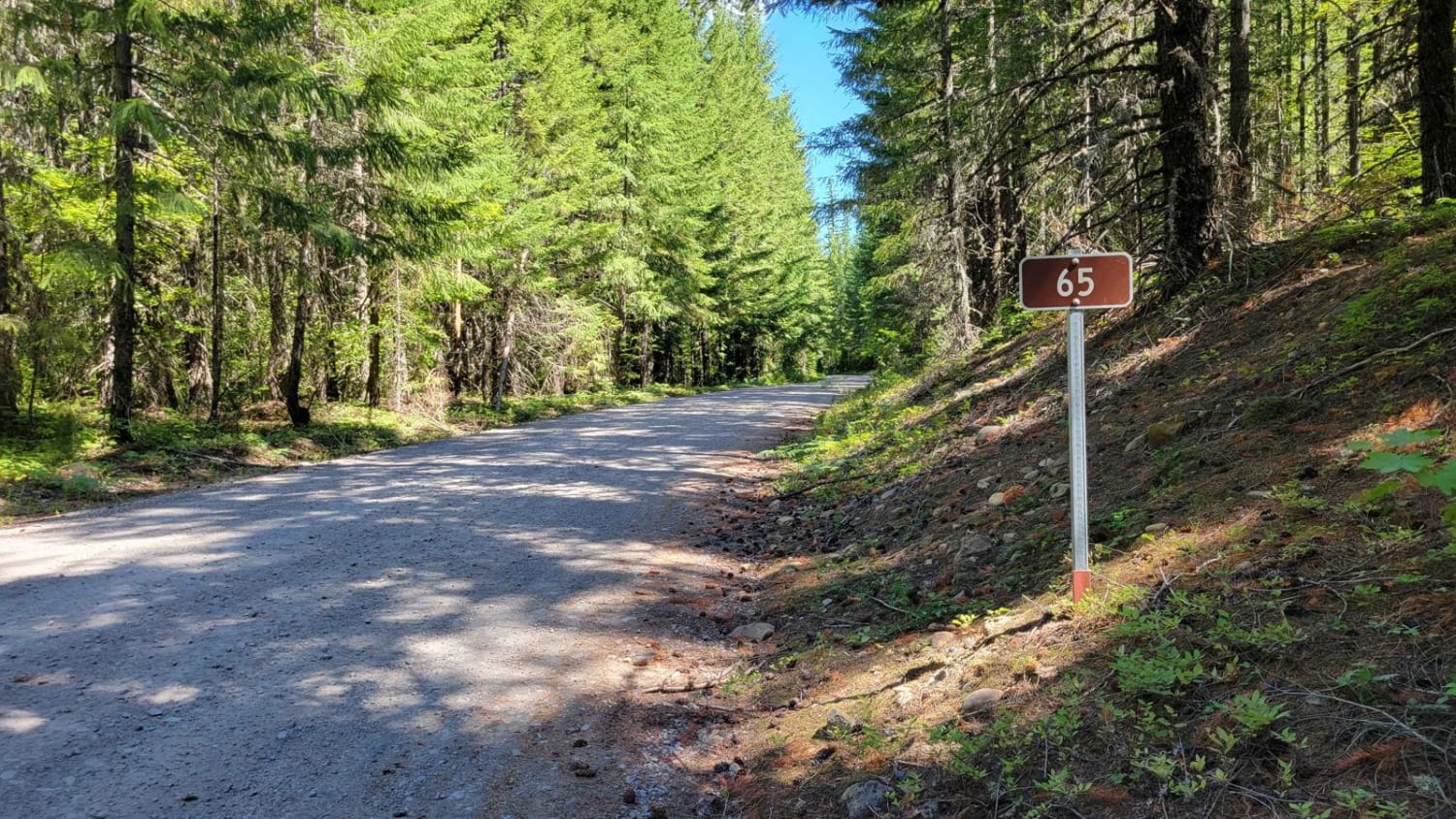
FR 65 - Panther Creek
4WD Summit Trail - 4W694
Larch Mountain L-1500
The onX Offroad Difference
onX Offroad combines trail photos, descriptions, difficulty ratings, width restrictions, seasonality, and more in a user-friendly interface. Available on all devices, with offline access and full compatibility with CarPlay and Android Auto. Discover what you’re missing today!
