L-1000
Total Miles
7.5
Technical Rating
Best Time
Spring, Summer, Fall, Winter
Trail Type
Full-Width Road
Accessible By
Trail Overview
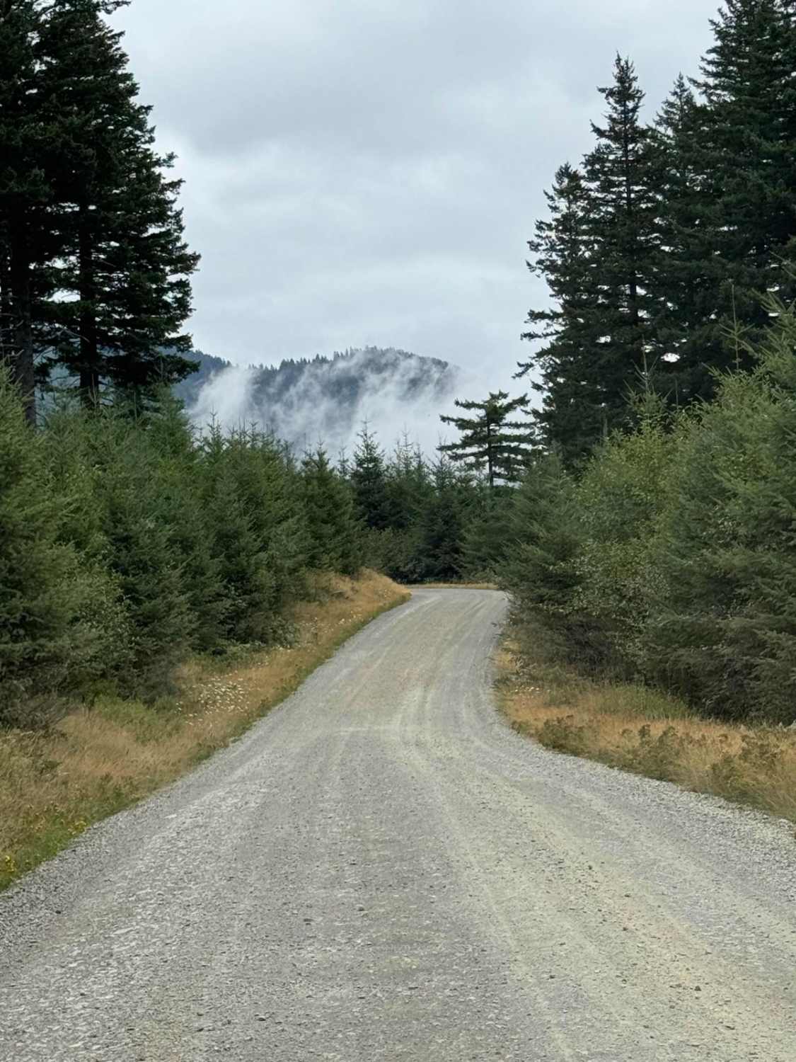
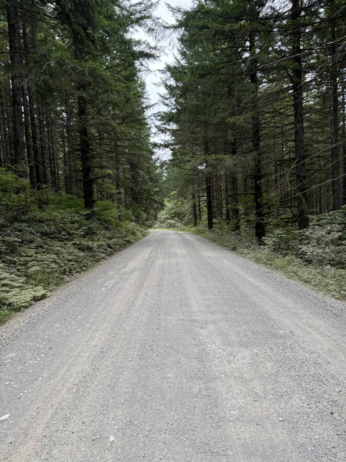
This is a point-to-point trail that will connect you between 2 other trails in the area. It will also lead you to the Yacoult Burn Trailhead where you can access the area's hiking trail. There is also access to Cold Creek Campground. The trail is mainly a wide gravel road that is comprised of loose and hard-packed gravel. If coming from the South and heading North on this trail you will reach about 1 mile of unmaintained paved road after passing the L-1400/L-1300 trails. At the end of this 1-mile stretch, the trail turns back into being loose gravel and hard-packed gravel for its duration. The trail is wide enough to allow for ample passing and there are no difficult areas on this trail.
Photos of L-1000
Difficulty
Easy gravel trail comprised of loose gravel and hard-packed gravel.
L-1000 can be accessed by the following ride types:
- High-Clearance 4x4
- SUV
- SxS (60")
- ATV (50")
- Dirt Bike
L-1000 Map
Popular Trails
Naneum Ridge State Forest Day Trip
Last Regrets Lane
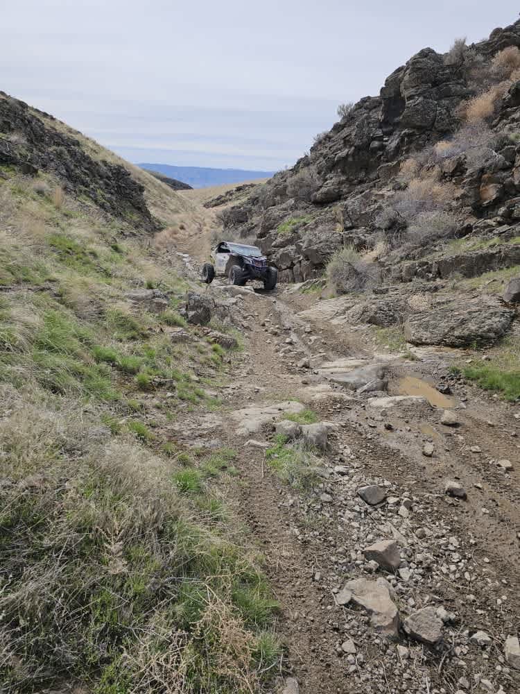
Tumbleweed Ravine
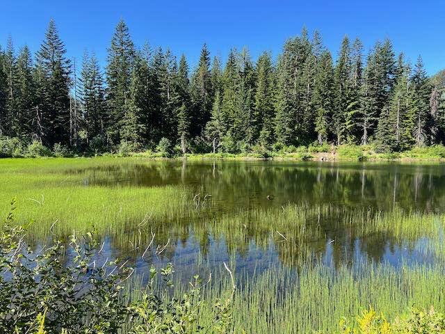
Lizard Lake/Longworth Cr.
The onX Offroad Difference
onX Offroad combines trail photos, descriptions, difficulty ratings, width restrictions, seasonality, and more in a user-friendly interface. Available on all devices, with offline access and full compatibility with CarPlay and Android Auto. Discover what you’re missing today!
