Lake Cavanaugh Road
Total Miles
3.7
Technical Rating
Best Time
Spring, Summer, Fall, Winter
Trail Type
Full-Width Road
Accessible By
Trail Overview
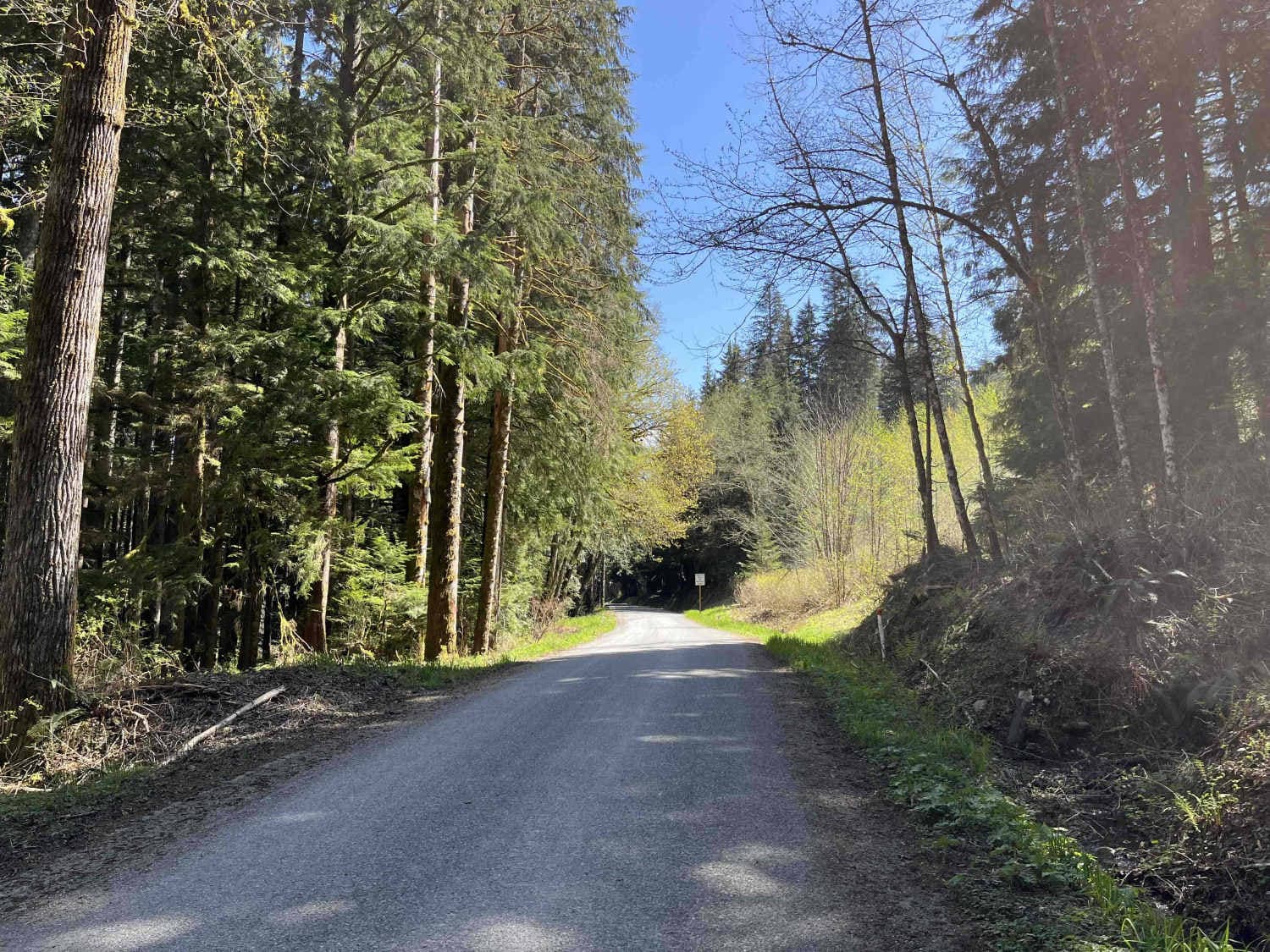
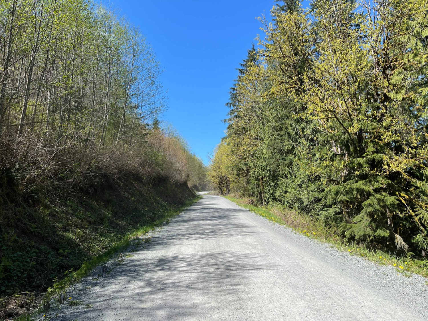
Lake Cavanaugh Road is a point-to-point wide gravel road that connects Lake Cavanaugh and SR530. This trail is well-maintained and open to all vehicle traffic, however, some larger vehicles will find some of the switchbacks on the southern side of the trail to be tight. There are several short steep grades, but they are all easily passable. Lake Cavanaugh Road is best used as an alternative route to Oso/530 to mix up the drive from Arlington to Darrington. There are few spots to stop and a gated trail breaks off the main road.
Photos of Lake Cavanaugh Road
Difficulty
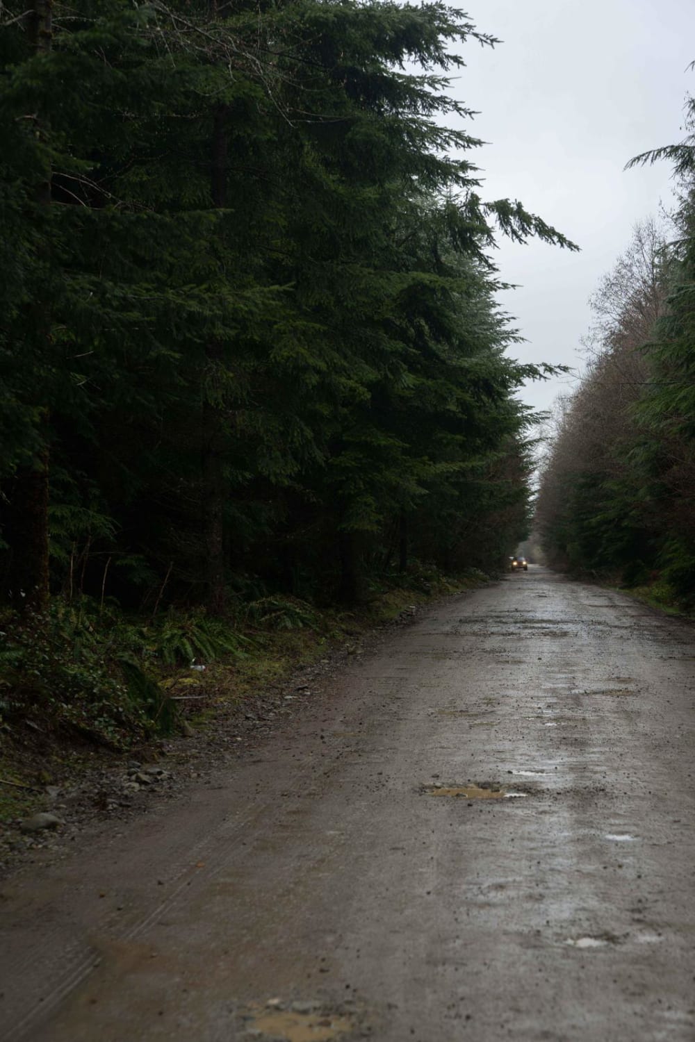
This trail is open to all vehicle traffic except for some larger rigs and large trailers. There are a few short steep grades, some tight switchbacks, and potholes. The trail is a wide gravel road and is well maintained.
Popular Trails
East Creek Overlook

Stevens Ridge
FS2340 to High Steel Bridge
The onX Offroad Difference
onX Offroad combines trail photos, descriptions, difficulty ratings, width restrictions, seasonality, and more in a user-friendly interface. Available on all devices, with offline access and full compatibility with CarPlay and Android Auto. Discover what you’re missing today!
