Northern Toats Coulee Road
Total Miles
4.2
Technical Rating
Best Time
Fall, Summer
Trail Type
Full-Width Road
Accessible By
Trail Overview
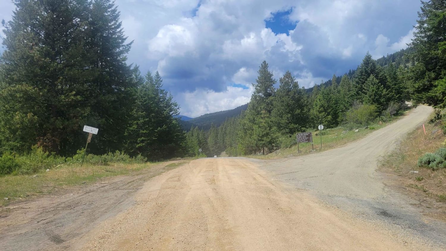
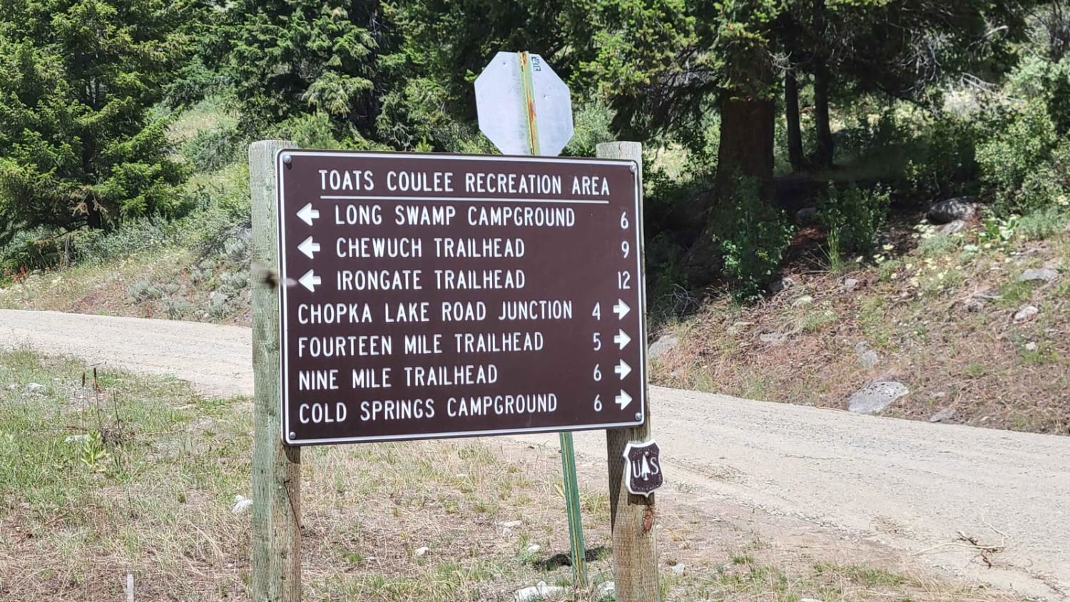
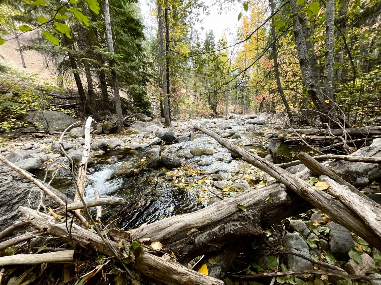
If you take this road West from Loomis, it will be patchy pavement/dirt until reaching the start of this recording track where it turns to dirt. Once there, the trail is an easy and wide dirt road. This area - also known as the Toats Coulee Recreation Area - is an open range, so note that there is potential to encounter cattle in the road. Another notable (fun) observation was that this area has not yet been burned and was nice to enjoy the forested views for a while. This road connects with two campgrounds and a dozen other trails in the area. Unmaintained (closed) in the winter and early spring months.
Photos of Northern Toats Coulee Road
Difficulty
The trail is an easy and wide dirt road, certainly capable for 2WD vehicles.
Status Reports
Northern Toats Coulee Road can be accessed by the following ride types:
- High-Clearance 4x4
- SUV
- SxS (60")
- ATV (50")
- Dirt Bike
Northern Toats Coulee Road Map
Popular Trails

Keechelus Ridge - FS 4934
Taneum - NF 3300
North Fork Gold Creek
The onX Offroad Difference
onX Offroad combines trail photos, descriptions, difficulty ratings, width restrictions, seasonality, and more in a user-friendly interface. Available on all devices, with offline access and full compatibility with CarPlay and Android Auto. Discover what you’re missing today!
