Southern Toats Coulee Road
Total Miles
4.0
Elevation
2,034.87 ft
Duration
0.5 Hours
Technical Rating
Best Time
Fall, Summer
Trail Overview
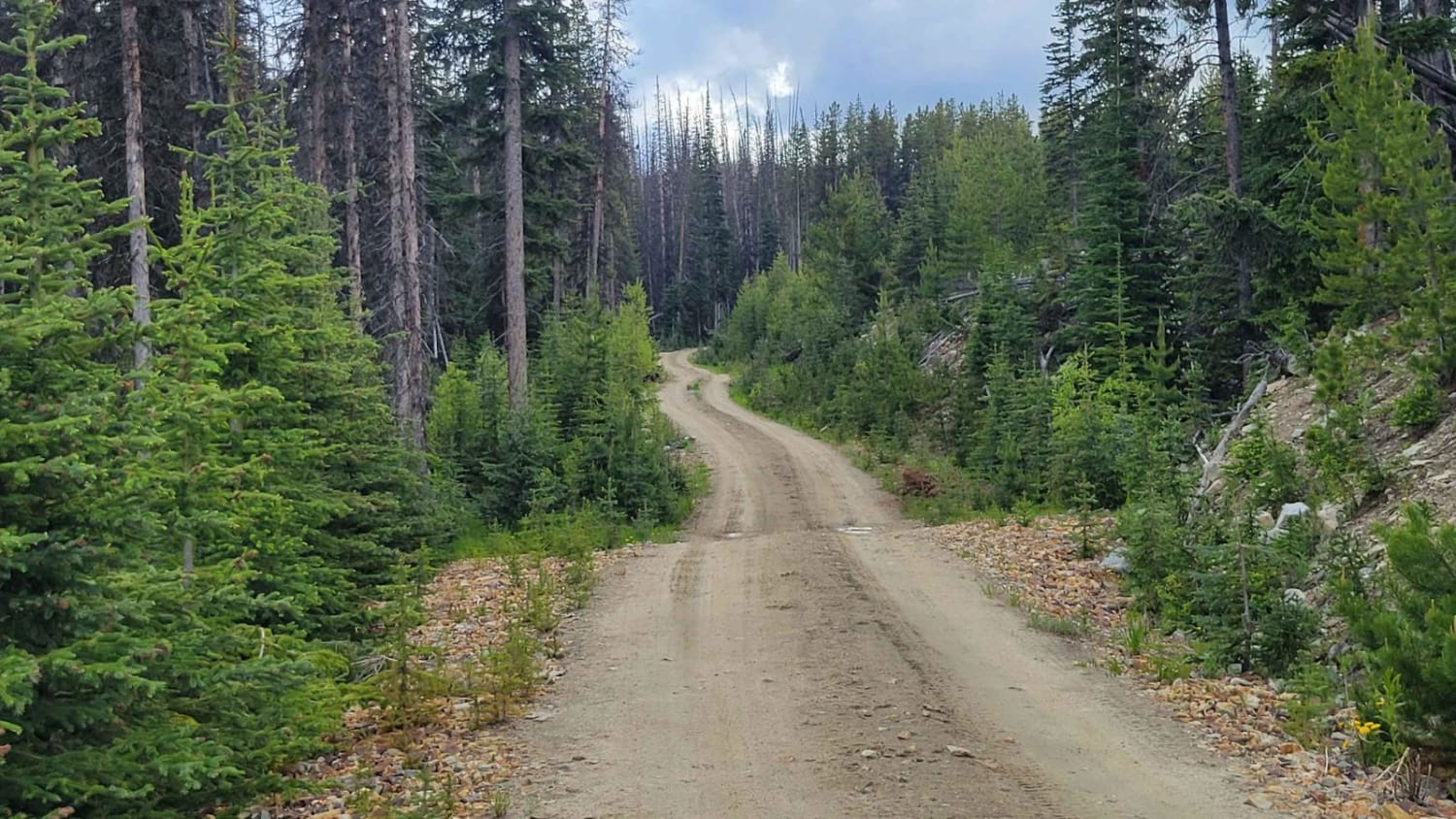
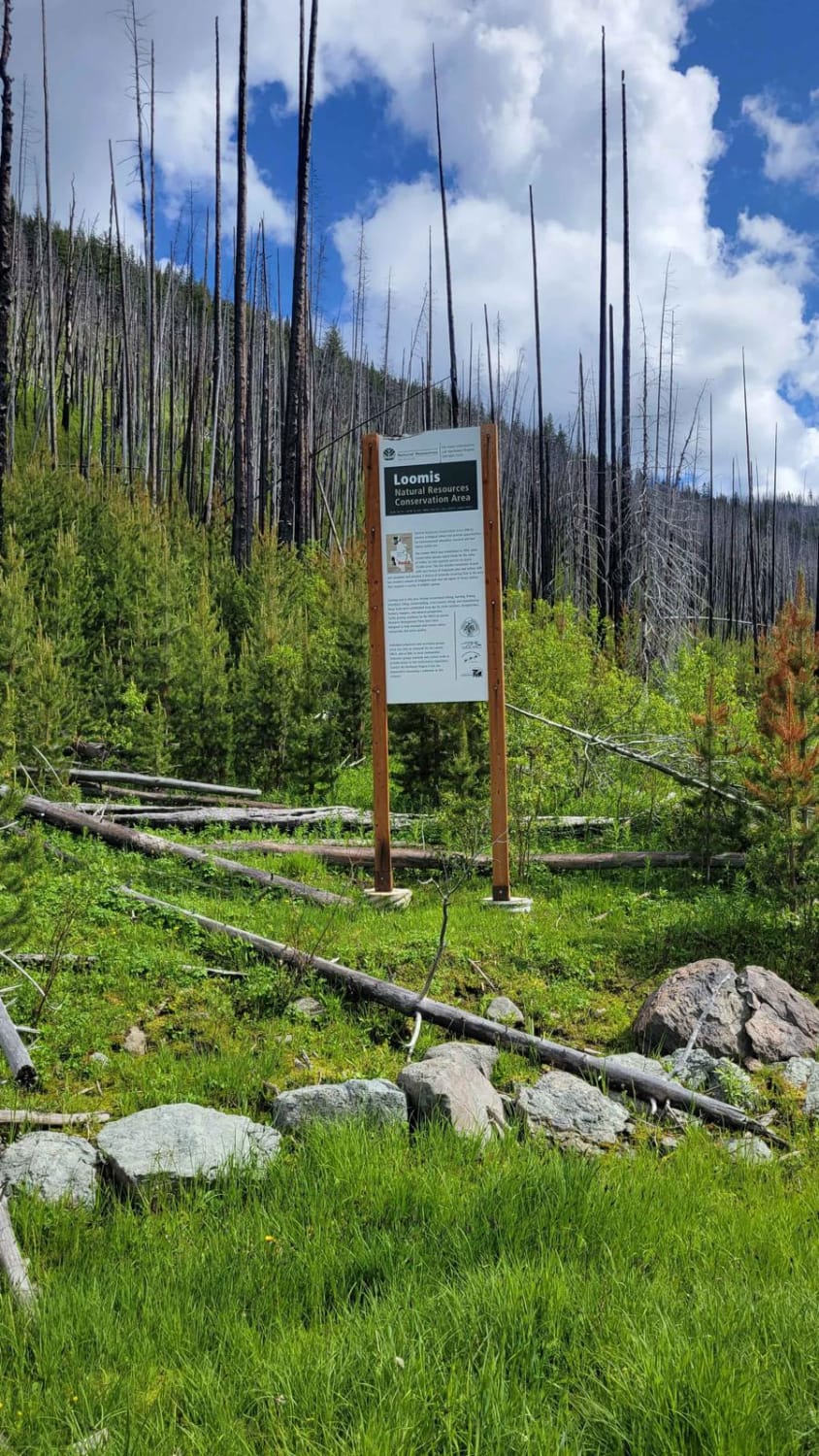
This is another section of the (South Fork) Toats Coulee Road through the Loomis State Forest. It connects to NF 39 - Meadows Toats. The trail itself is an easy two-track that is wide enough for just one vehicle and is safe for 2WD. There is a section that is part of the 'Loomis Natural Resources Conservation Area'. Unmaintained (closed) in the winter and early spring months.
Photos of Southern Toats Coulee Road
Difficulty
The trail itself is an easy two-track that is wide enough for just one vehicle and is safe for 2WD.
Status Reports
Popular Trails

Thompson Ridge Trail

Hager Lake to Packwood Lake

Overlook of Seattle Campsite

Donkey Creek Cutoff
The onX Offroad Difference
onX Offroad combines trail photos, descriptions, difficulty ratings, width restrictions, seasonality, and more in a user-friendly interface. Available on all devices, with offline access and full compatibility with CarPlay and Android Auto. Discover what you’re missing today!

