Tunnel Creek Trail
Total Miles
6.8
Technical Rating
Best Time
Spring, Summer, Fall
Trail Type
Full-Width Road
Accessible By
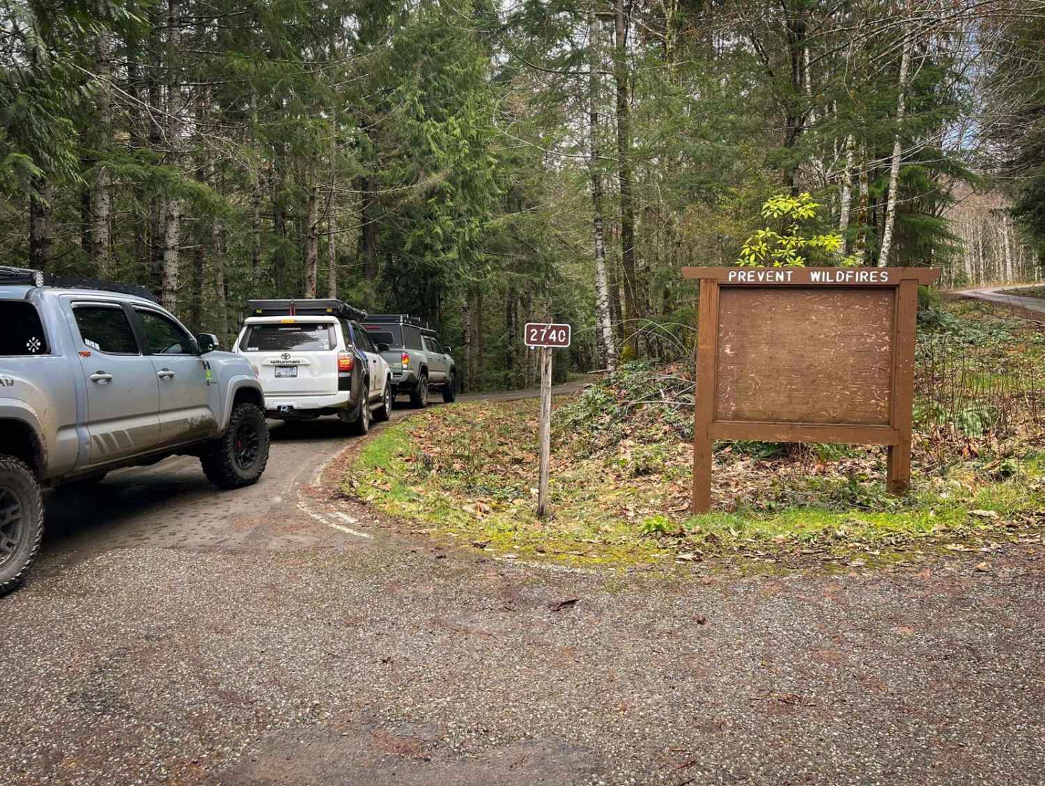
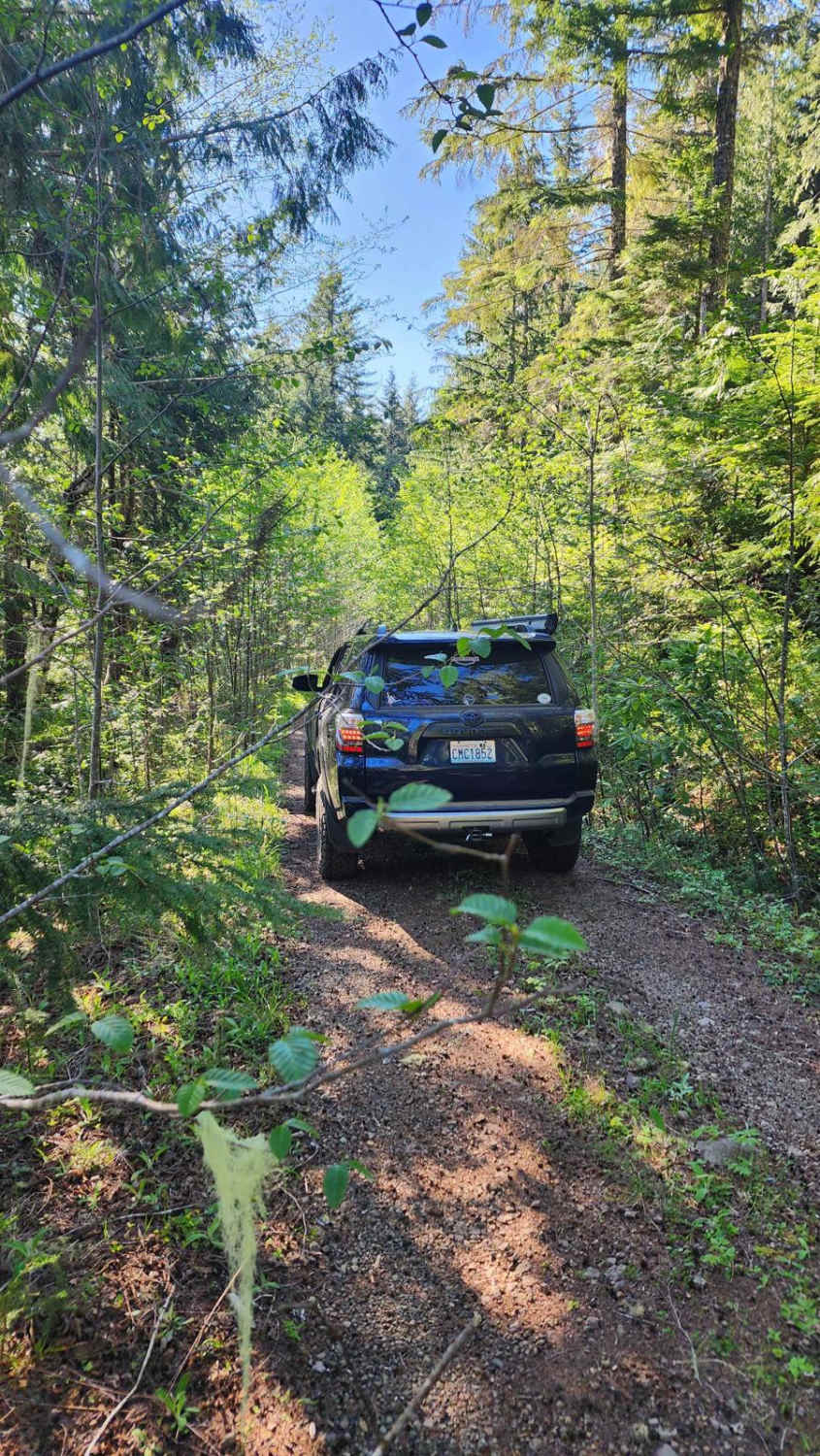
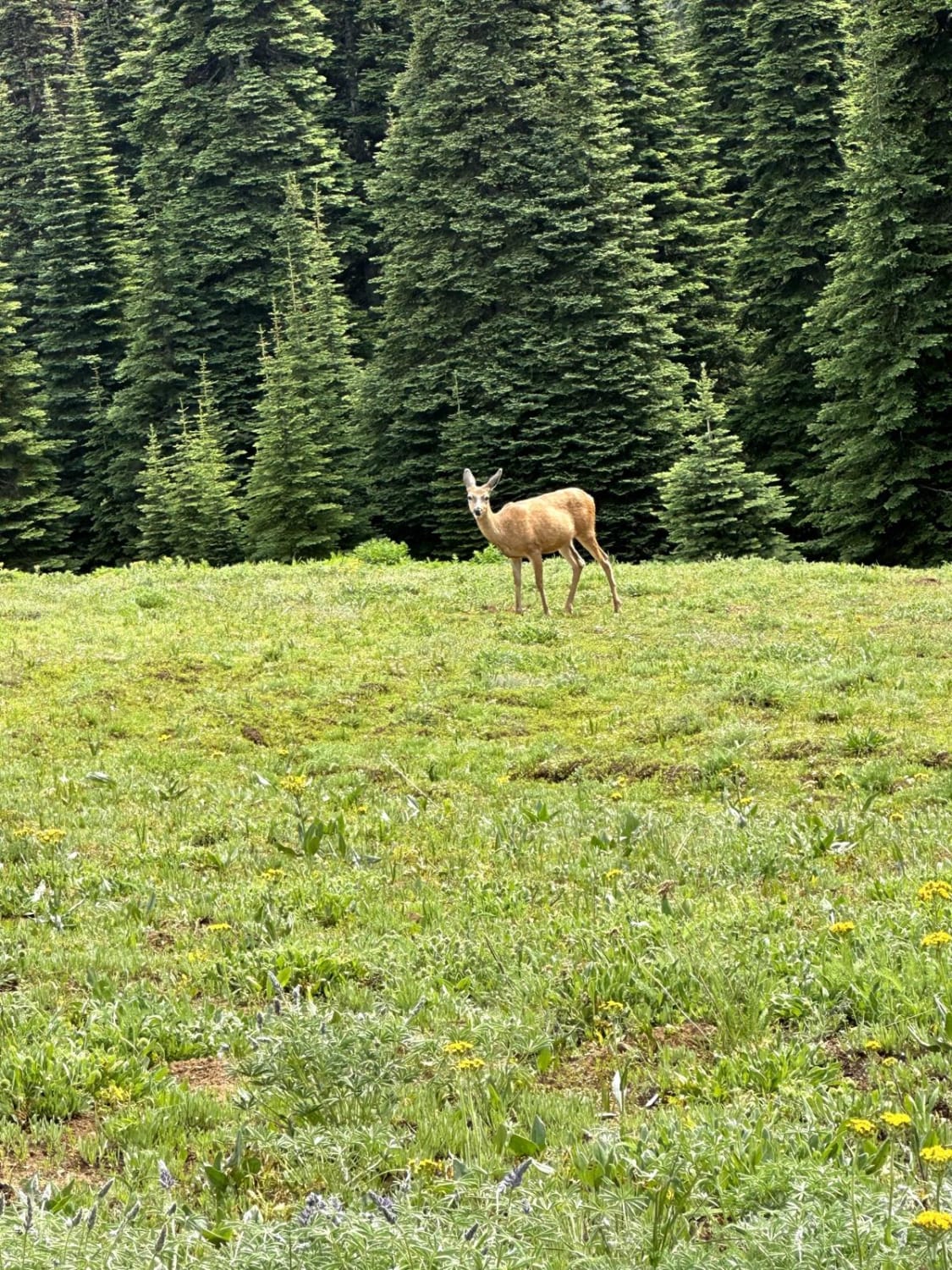
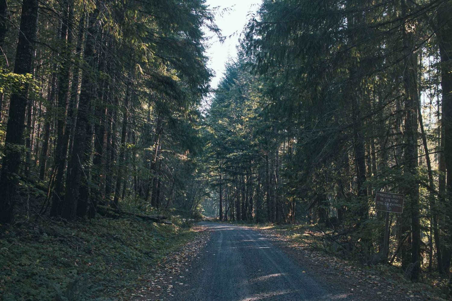
Trail Overview
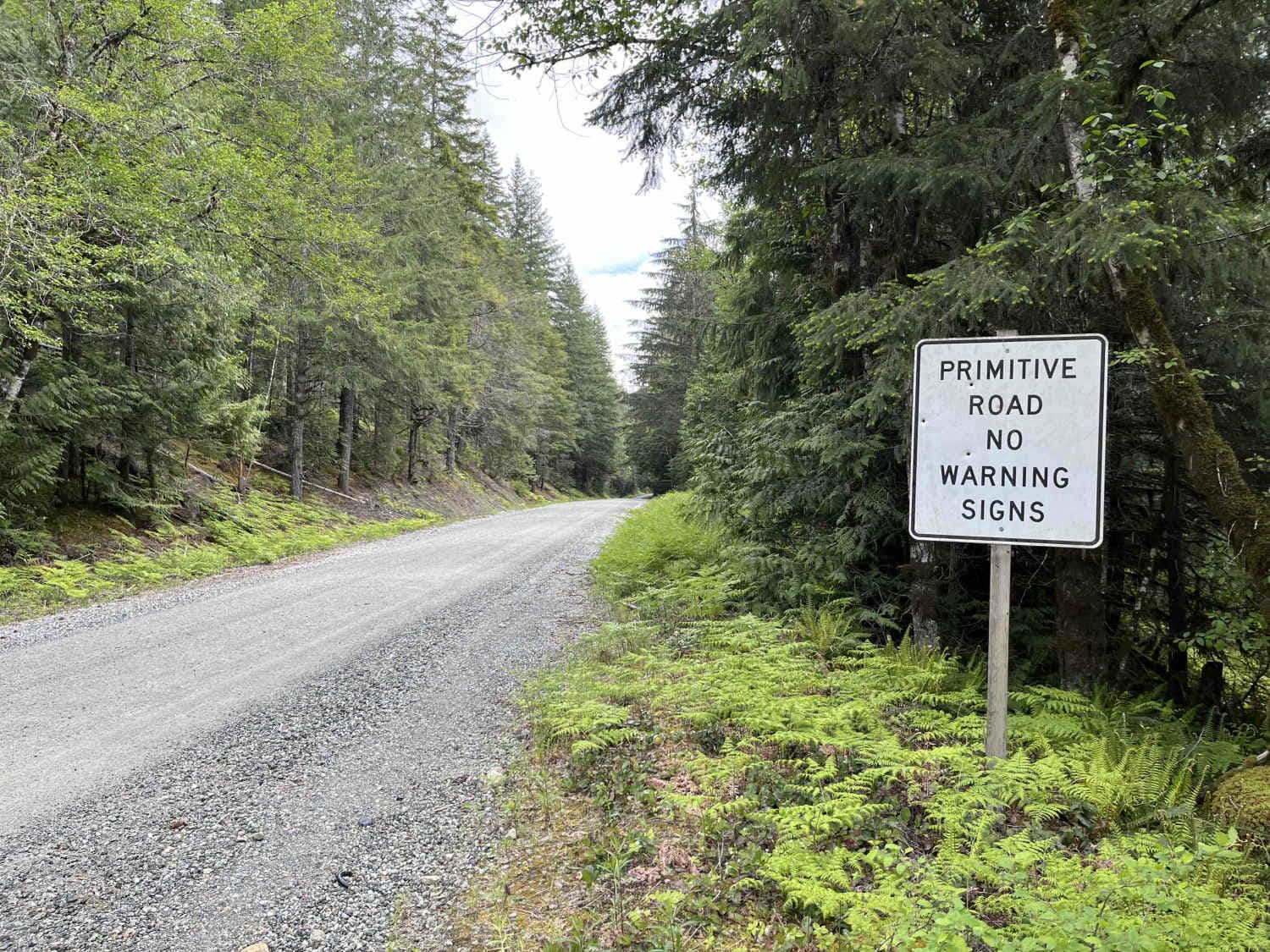
Tunnel Creek Trail can be found approximately 15 minutes from Quilcene, Washington. This trail is one of many in the area that offers gorgeous views of the Quilcene Mountain Range. This trail is compact gravel/ dirt with occasional rocks scattered across the road due to previous landslides (which can be seen in the images attached). Scattered potholes can also be found along this trail. Small waterfalls, the Big Quilcene River, and Tunnel Creek can be seen from this trail. This is a one-way in, one-way out trail that ends with the parking area for the Tunnel Creek hiking trail. Cell service is lost fairly quickly, so make sure to have offline maps downloaded and have others know where you are. Higher elevations can hold snow and ice very well into spring days. As always, don't forget to tread lightly, clean up after yourself, leave public land cleaner than you found it, and most importantly, have fun and enjoy what Washington has to offer.
Photos of Tunnel Creek Trail

Difficulty
The trail consists of hard pact gravel/dirt with occasional potholes and scattered rock debris from previous landslides/ falling rocks. Be careful of steep drop-offs and washed sections of the trail. The trail can become inaccessible during winter/snowy season as the elevation reaches 2,420 feet.
Status Reports

Popular Trails
Jackson Creek Comm Bypass
Quartz Creek Road
Cascade River Road
The onX Offroad Difference
onX Offroad combines trail photos, descriptions, difficulty ratings, width restrictions, seasonality, and more in a user-friendly interface. Available on all devices, with offline access and full compatibility with CarPlay and Android Auto. Discover what you’re missing today!