Twenty-Eight Mile Creek
Total Miles
14.7
Technical Rating
Best Time
Spring, Summer, Fall
Trail Type
Full-Width Road
Accessible By
Trail Overview
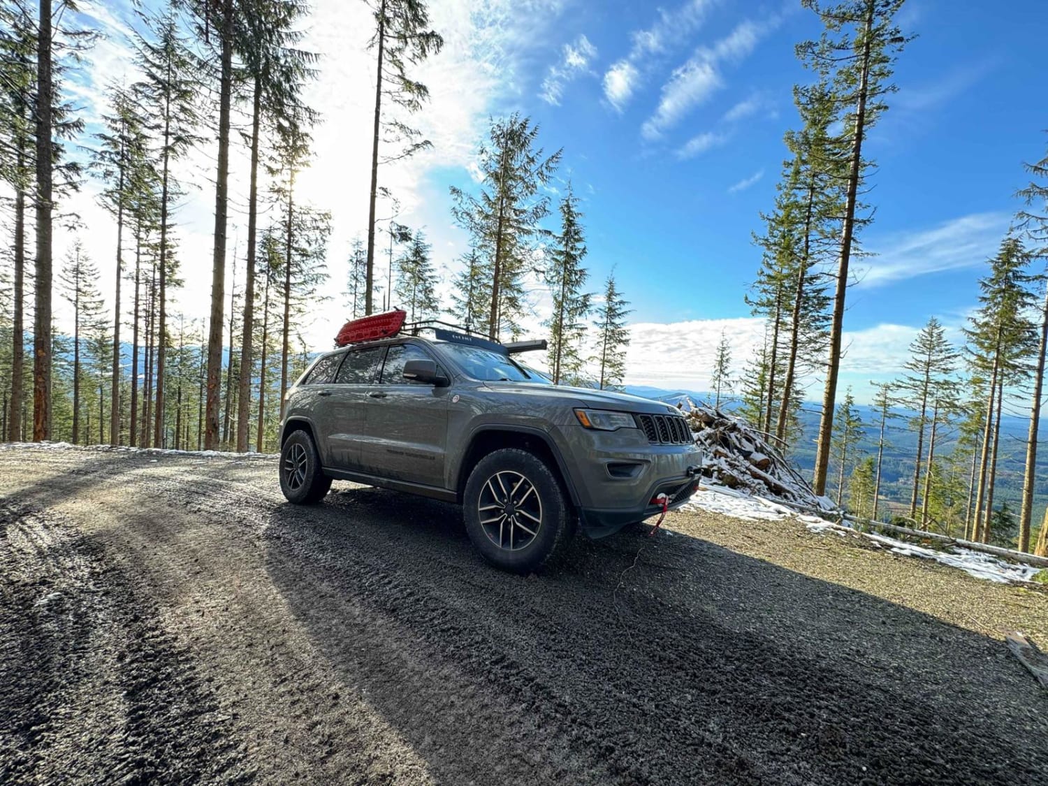
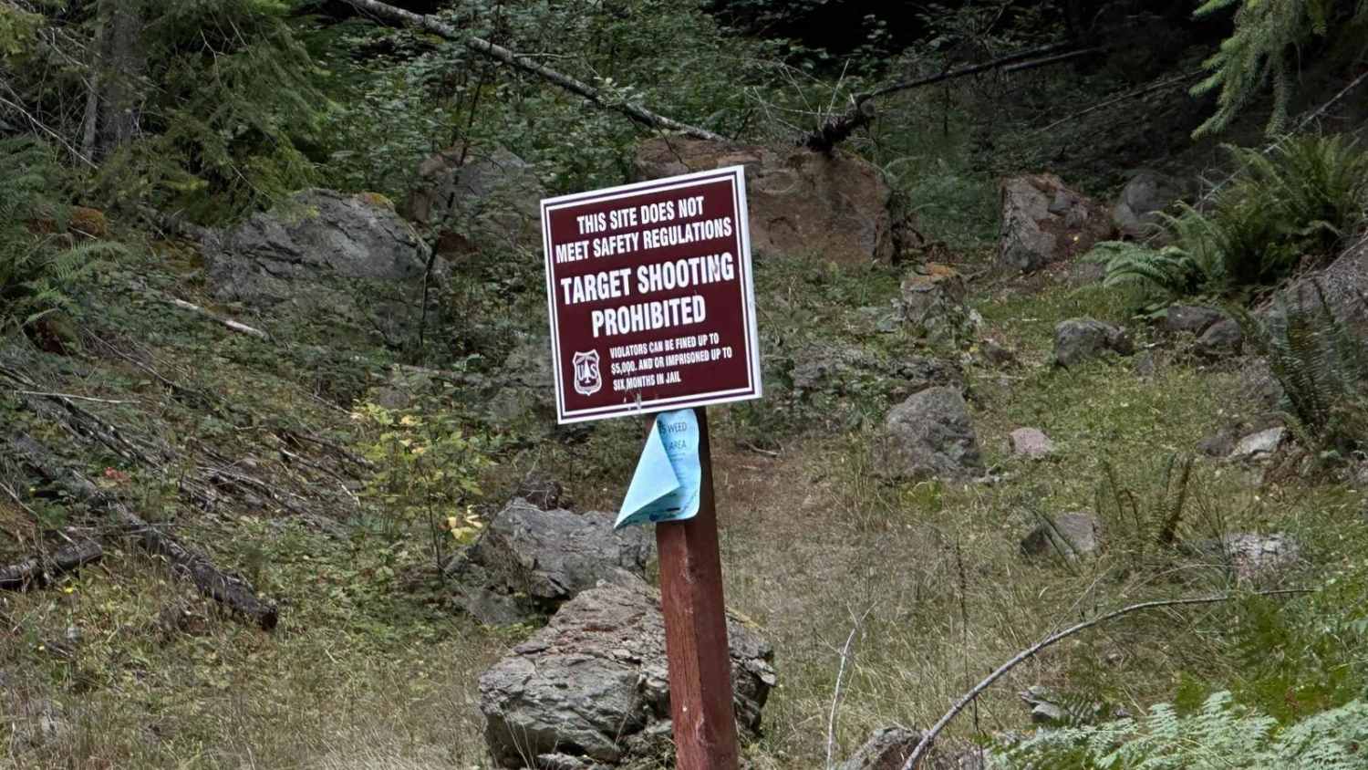
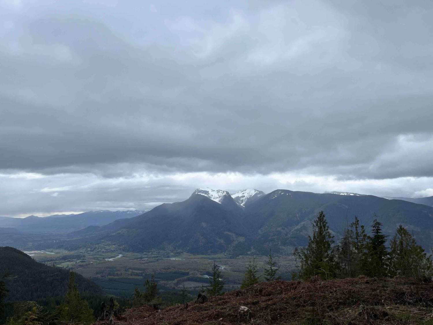
This is a nicely forested road with pullouts that have views of Mount Rainier. The trail has a steady climb to the summit at 7.7 miles. After the summit at 8.2 miles, there is a large gravel shooting pit on the right-hand side. As you travel down the trail there are plenty of spur trails to explore as well as pullouts for camping. This trail is seasonal and closes in the winter when it snows. There are gates just at 410 highway and at mile 13.9 on this road closing down most of the trail system in this area.
Photos of Twenty-Eight Mile Creek
Difficulty
This is a well-groomed road that is easy to travel. This is the main road through the trail system and it is easy to pass other vehicles.
Status Reports
Popular Trails

Green Mountain Road/NF-011

Weber's Wandering
The onX Offroad Difference
onX Offroad combines trail photos, descriptions, difficulty ratings, width restrictions, seasonality, and more in a user-friendly interface. Available on all devices, with offline access and full compatibility with CarPlay and Android Auto. Discover what you’re missing today!


