Upper Buck Mountain
Total Miles
2.3
Elevation
1,869.05 ft
Duration
0.75 Hours
Technical Rating
Best Time
Summer, Fall
Trail Overview
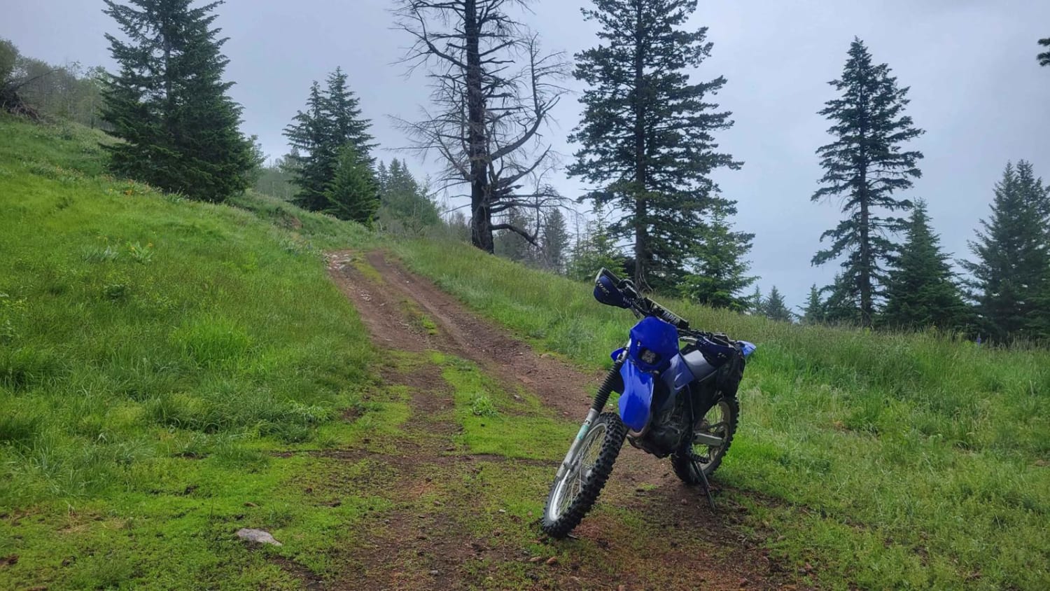
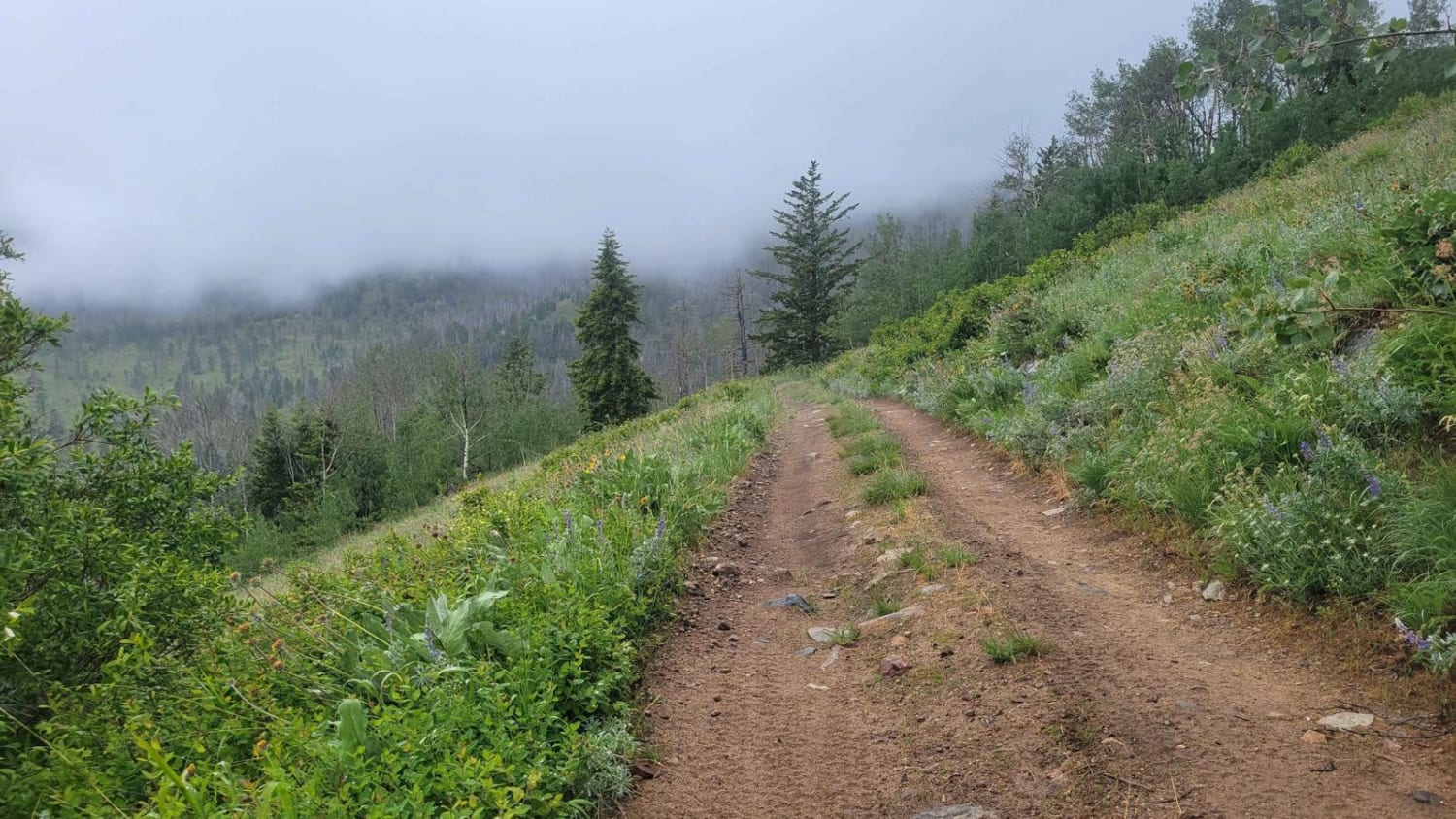
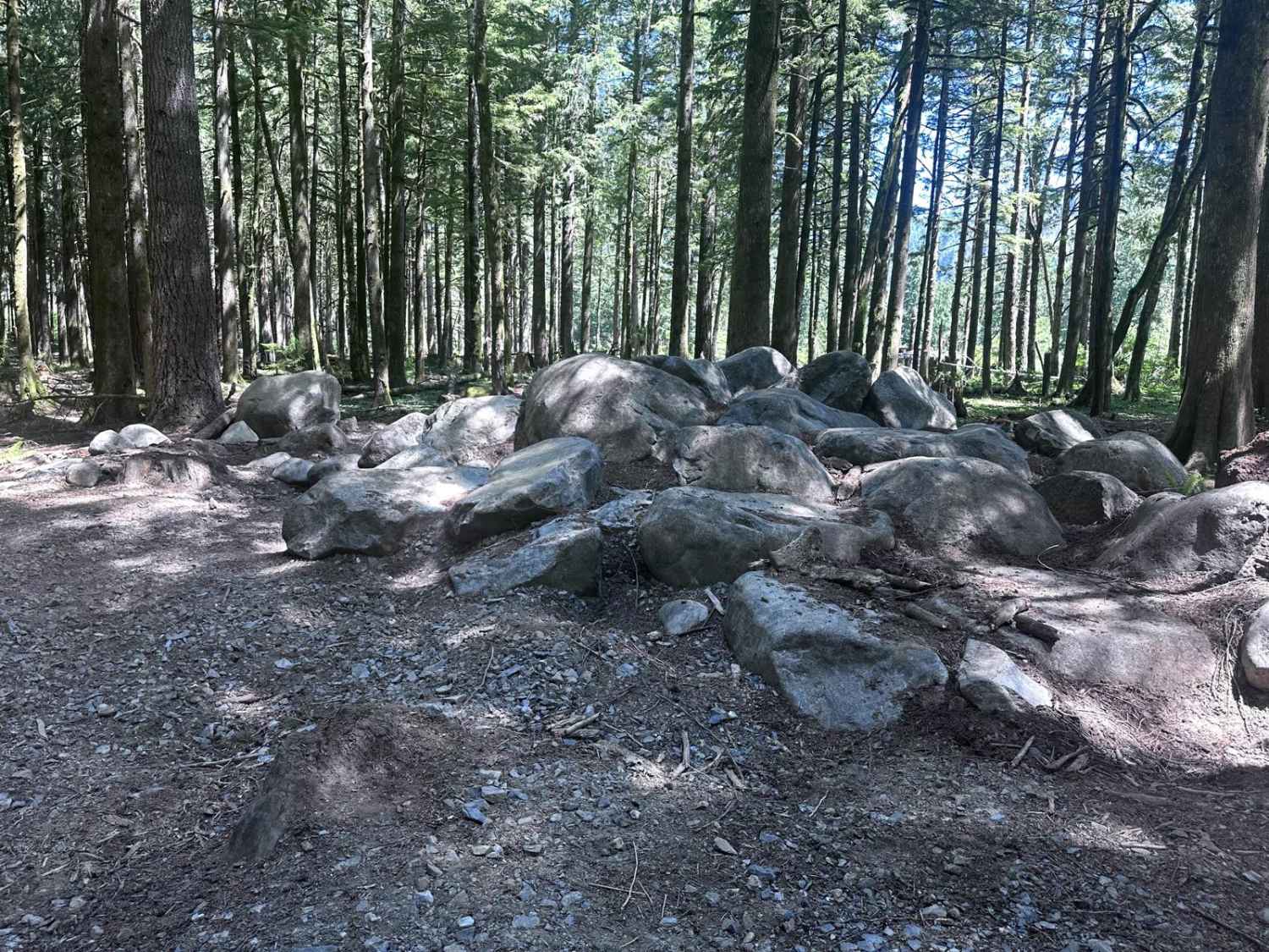
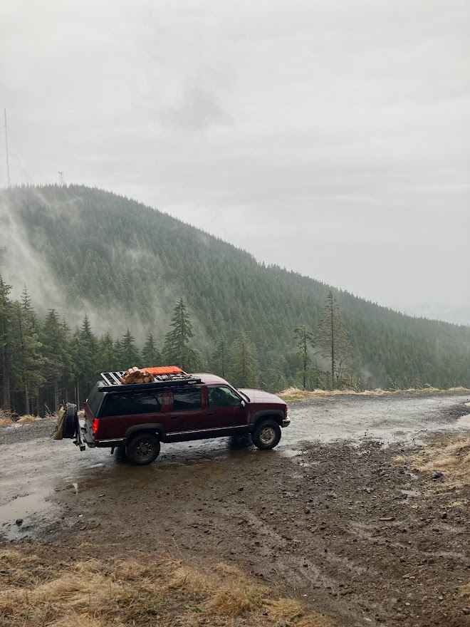
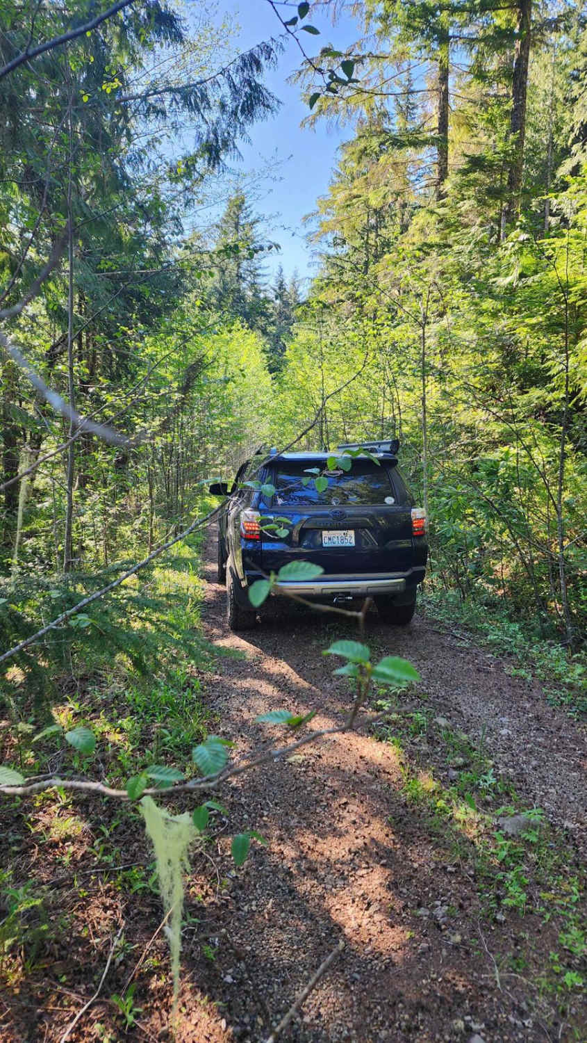
Upper Buck Mountain is the second half of Buck Lookout Road, leading to the Buck Mountain summit where the fire lookout tower is located. This section of the trail is a very narrow two-track, more advanced, where 4WD and higher clearance are highly advised. The trail is essentially one long hill climb with short steeper sections throughout. Some of the rocky steep sections have turns involved that may be tricky for some vehicles to navigate. A fire destroyed the surrounding forest, making for eerie vibes on a cloudy/foggy day. Downed trees may obstruct the trail or create an obstacle to navigate around. Unfortunately, the weather rolled in at the time of mapping, obstructing the view from the fire tower. On a clear day, you'll certainly be able to see for miles and miles in every direction. The trail is closed in the winter/spring months.
Photos of Upper Buck Mountain
Difficulty
Very narrow two-track, more advanced, where 4WD and higher clearance is highly advised. The trail is essentially one long hill climb with short steeper sections throughout. Some of the rocky steep sections have turns involved that may be tricky for some vehicles to navigate.
Popular Trails
Buck Ridge B Line Connector
Jackson Creek Comm Bypass
The onX Offroad Difference
onX Offroad combines trail photos, descriptions, difficulty ratings, width restrictions, seasonality, and more in a user-friendly interface. Available on all devices, with offline access and full compatibility with CarPlay and Android Auto. Discover what you’re missing today!
