West Mesatchee
Total Miles
0.9
Technical Rating
Best Time
Summer, Fall, Spring
Trail Type
Full-Width Road
Accessible By
Trail Overview
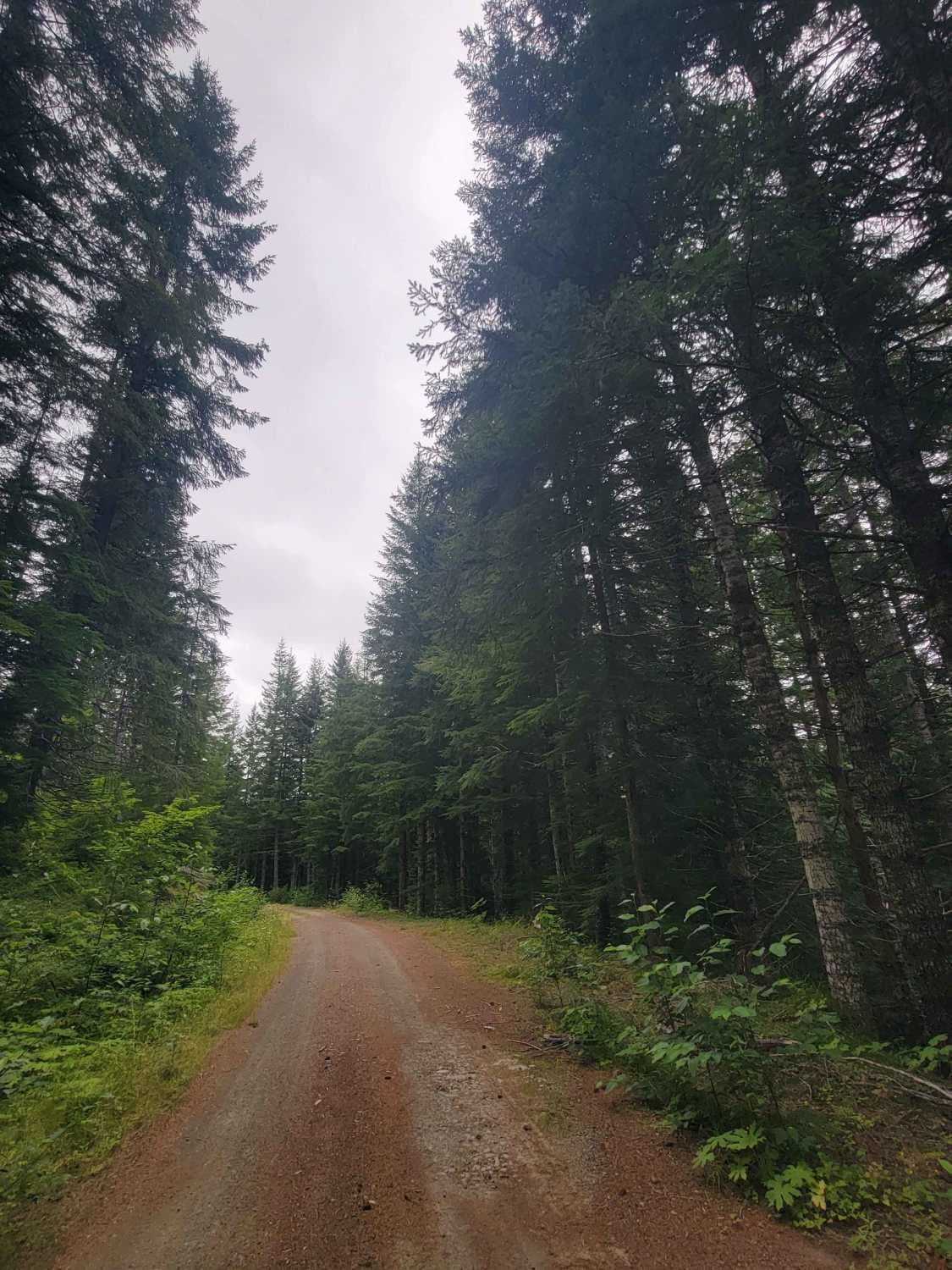
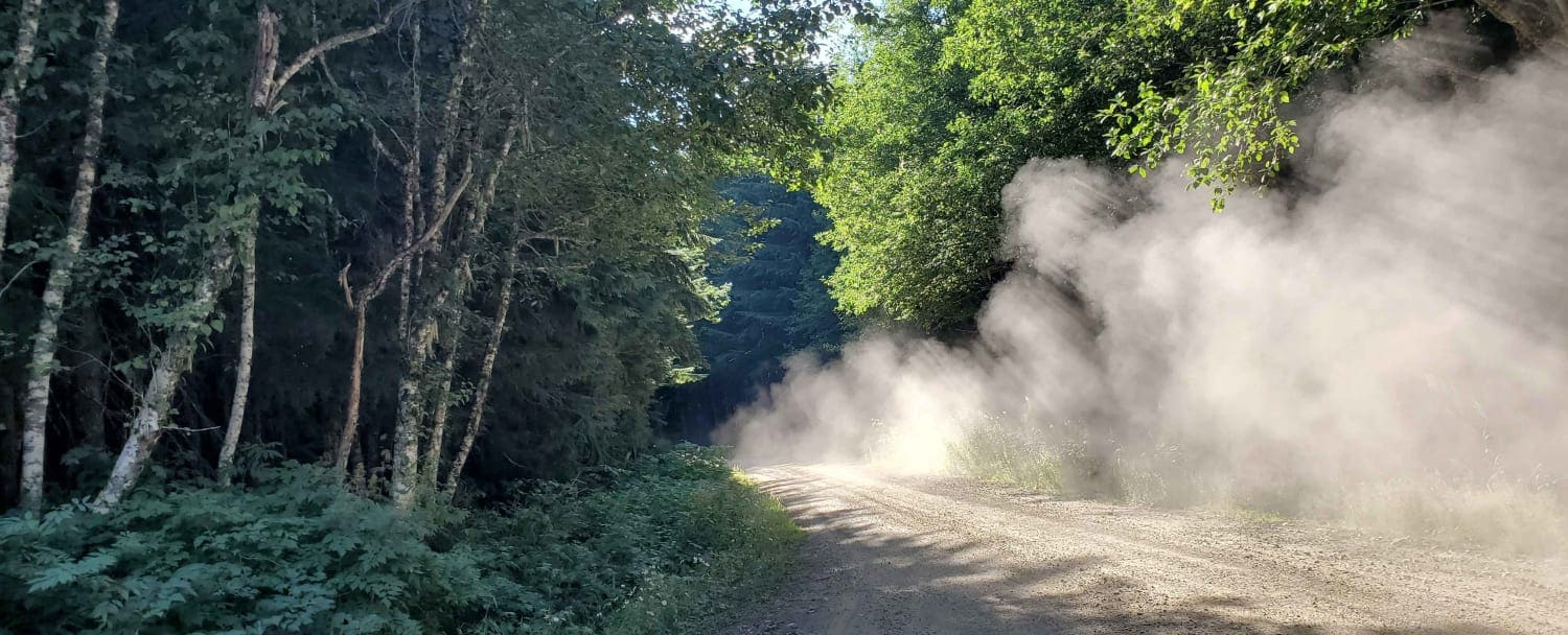
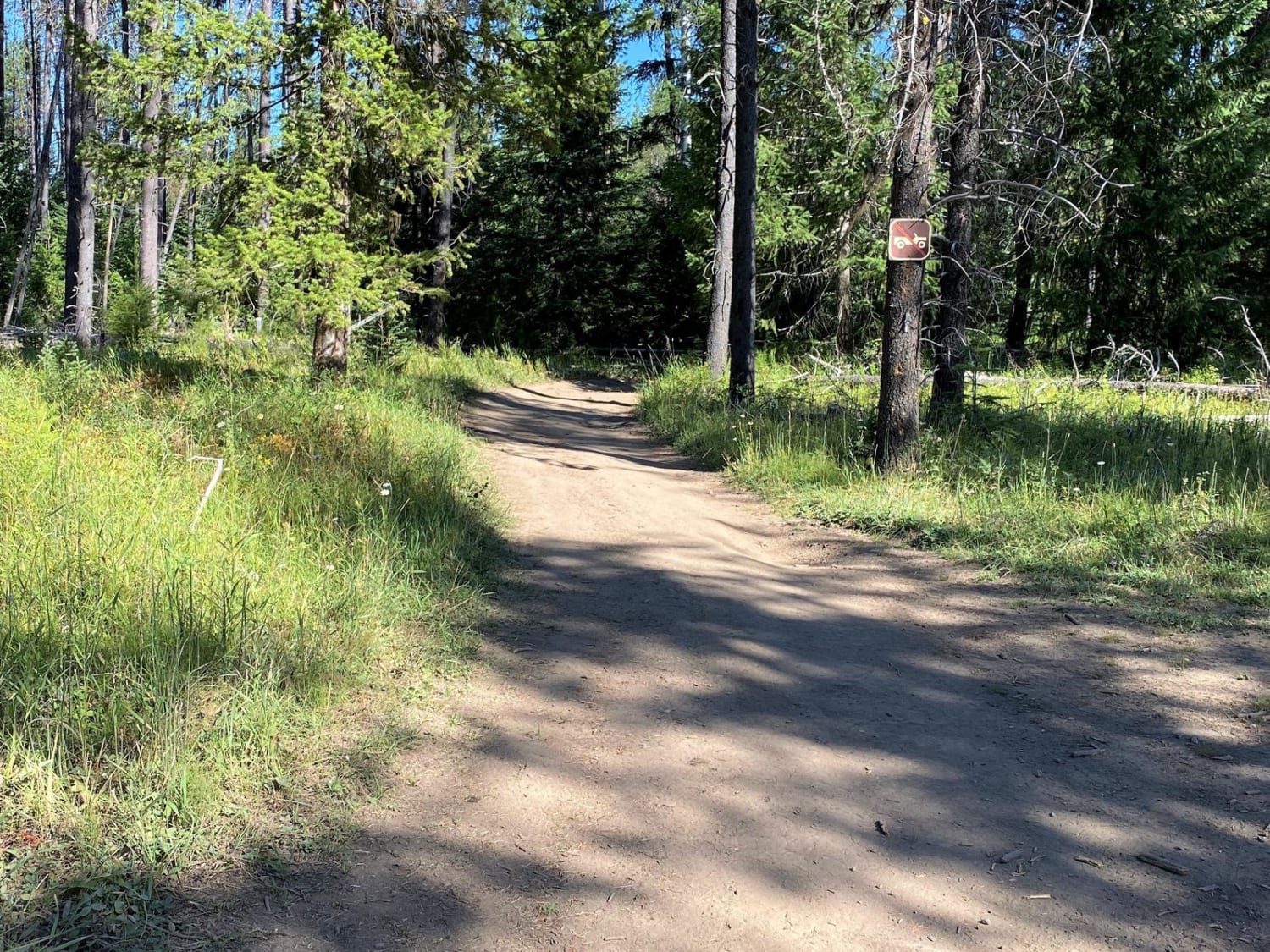
At the edge of Mount Reiner, nestled in the Gifford Pinchot Forest just south of the Nisqually River, West Mesatchee hides along Forest Road 52 towards the end of Mesatchee. It is a densely forested road ending in a campsite. This trail ends early due to overgrowth. But if you are looking for a foraging trail not too far from civilization, this is an excellent trail. There were no visible paths to easy water access. If you happen to find access, please add a trail report. This trail is one car, sometimes two cars wide, unmaintained, and made of dirt.
Photos of West Mesatchee

Difficulty
Easy trail that is one car, sometimes two cars wide with minimal obstacles no bigger than 4 inches. This is an unmaintained dirt trail.
History
Local rangers have considered shutting these trails down in the past as human waste has become challenging to keep up with, be prepared to pack out what you bring in as well as extra garbage if you can.
Status Reports
West Mesatchee can be accessed by the following ride types:
- High-Clearance 4x4
- SUV
- SxS (60")
- ATV (50")
- Dirt Bike
West Mesatchee Map
Popular Trails
Wooded Forked Path

West Railroad Canyon - South
Radar Dome Scenic Route
Frisco Standard - Boundary
The onX Offroad Difference
onX Offroad combines trail photos, descriptions, difficulty ratings, width restrictions, seasonality, and more in a user-friendly interface. Available on all devices, with offline access and full compatibility with CarPlay and Android Auto. Discover what you’re missing today!