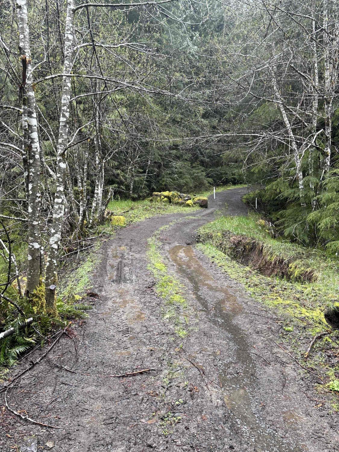
Wildcat/Nisqually Loop Trail
Total Miles
11.7
Technical Rating
Best Time
Summer
Trail Type
High-Clearance 4x4 Trail
Accessible By
Trail Overview
This 11.9-mile trail run starts off somewhat deceiving with nice wide, well-maintained gravel, that winds its way through the Gifford Pinchot National Forest and eventually drops down along the Little Nisqually River, but 6.5 miles in, the trail begins to get tight. Even in our 4Runner and Tacoma we were scraping and regretting not having limb risers, so full-size vehicles be warned, you will get pinstripes and damage. The last 5.4 miles of the trail get technical with long hanging branches, tight trails, and poor trail conditions. We ended the official track at a semi-washed-out bridge. The bridge itself is cool to see as it's made out of fallen timbers and had probably 3 feet of dirt on top to drive across but the dirt in some areas had washed out and you can see through to the river 5-6 feet below. We ventured over the bridge (in hind site we shouldn't have) and came across even tighter trails, and were eventually stopped by a broken down vehicle blocking the trail with about 2 feet of snow a quarter mile past that point. This trail is definitely recommended for summer and early fall.
Photos of Wildcat/Nisqually Loop Trail
Difficulty
Numerous potholes ranging in size and depth, washboarded trails, washouts encroaching the trail in some areas, and a bridge that is partially washed out.
Popular Trails
Deep Forest Trail
Meadow Ridge Trail

Lone Tree Mountain
Quilomene Ridge Road Part 2
The onX Offroad Difference
onX Offroad combines trail photos, descriptions, difficulty ratings, width restrictions, seasonality, and more in a user-friendly interface. Available on all devices, with offline access and full compatibility with CarPlay and Android Auto. Discover what you’re missing today!

