Dry Gap Ridge
Total Miles
1.5
Technical Rating
Best Time
Spring, Summer, Fall
Trail Type
Full-Width Road
Accessible By
Trail Overview
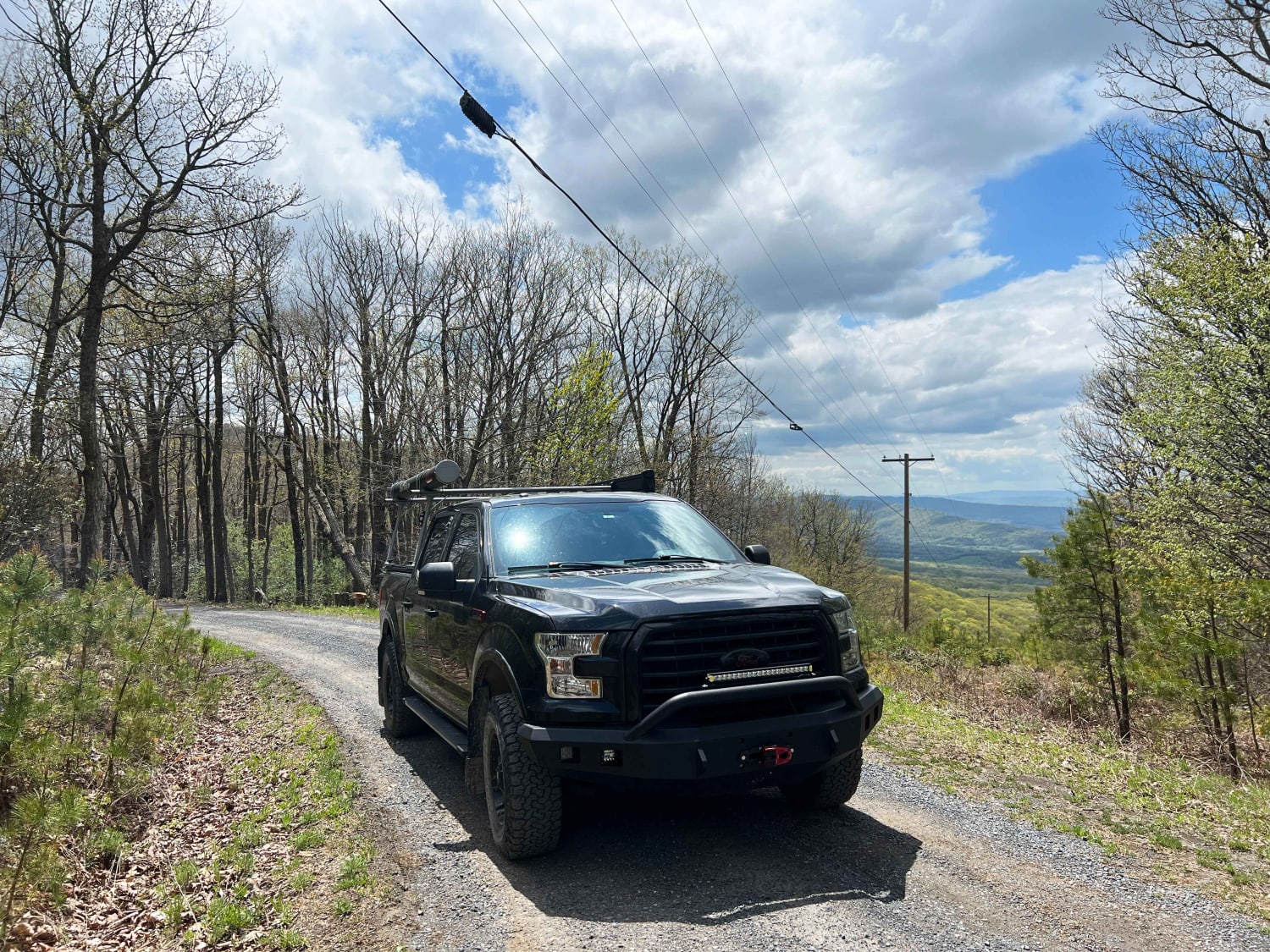
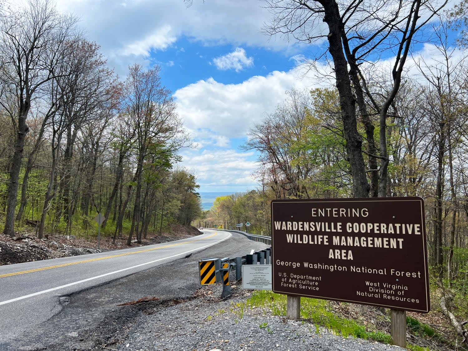
Dry Gap is a short step, out and back trail climbing along a ridge leading to a cell tower. The beginning climb is the most challenging part due to its steep nature; 4WD is recommended. The sweeping views from the ridge are incredible when no leaves are on the trees following the border of Virginia and West Virginia.
Photos of Dry Gap Ridge
Difficulty
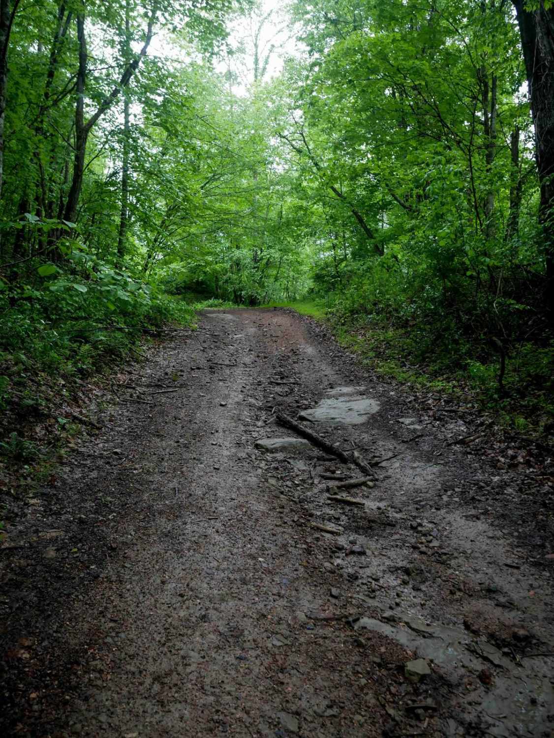
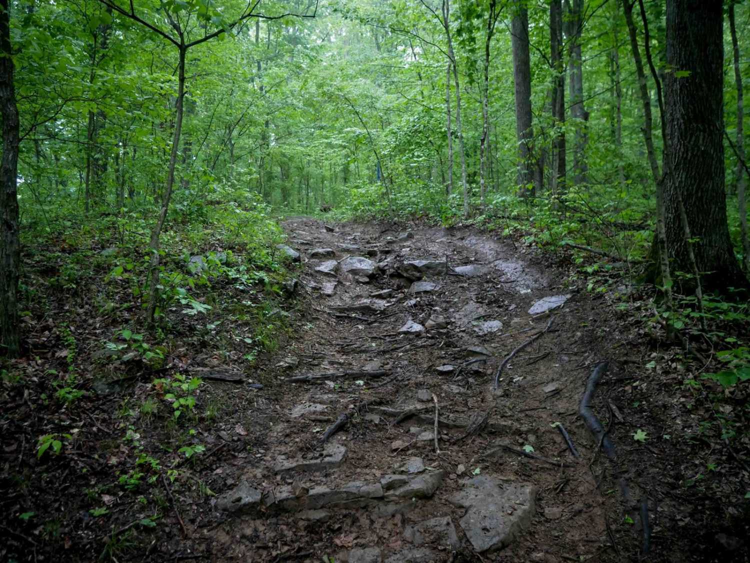
Mostly gravel with some areas washed out exposing only clay and rocks.
Status Reports
Dry Gap Ridge can be accessed by the following ride types:
- High-Clearance 4x4
- SUV
Dry Gap Ridge Map
Popular Trails
The onX Offroad Difference
onX Offroad combines trail photos, descriptions, difficulty ratings, width restrictions, seasonality, and more in a user-friendly interface. Available on all devices, with offline access and full compatibility with CarPlay and Android Auto. Discover what you’re missing today!


