Stonebridge Trail
Total Miles
1.5
Elevation
287.23 ft
Duration
0.5 Hours
Technical Rating
Best Time
Fall
Trail Overview
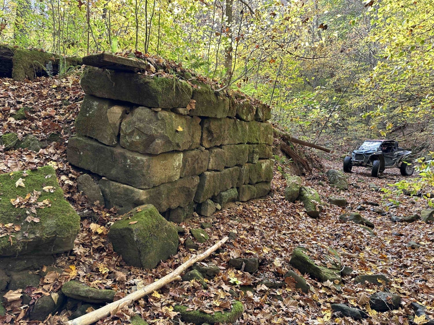
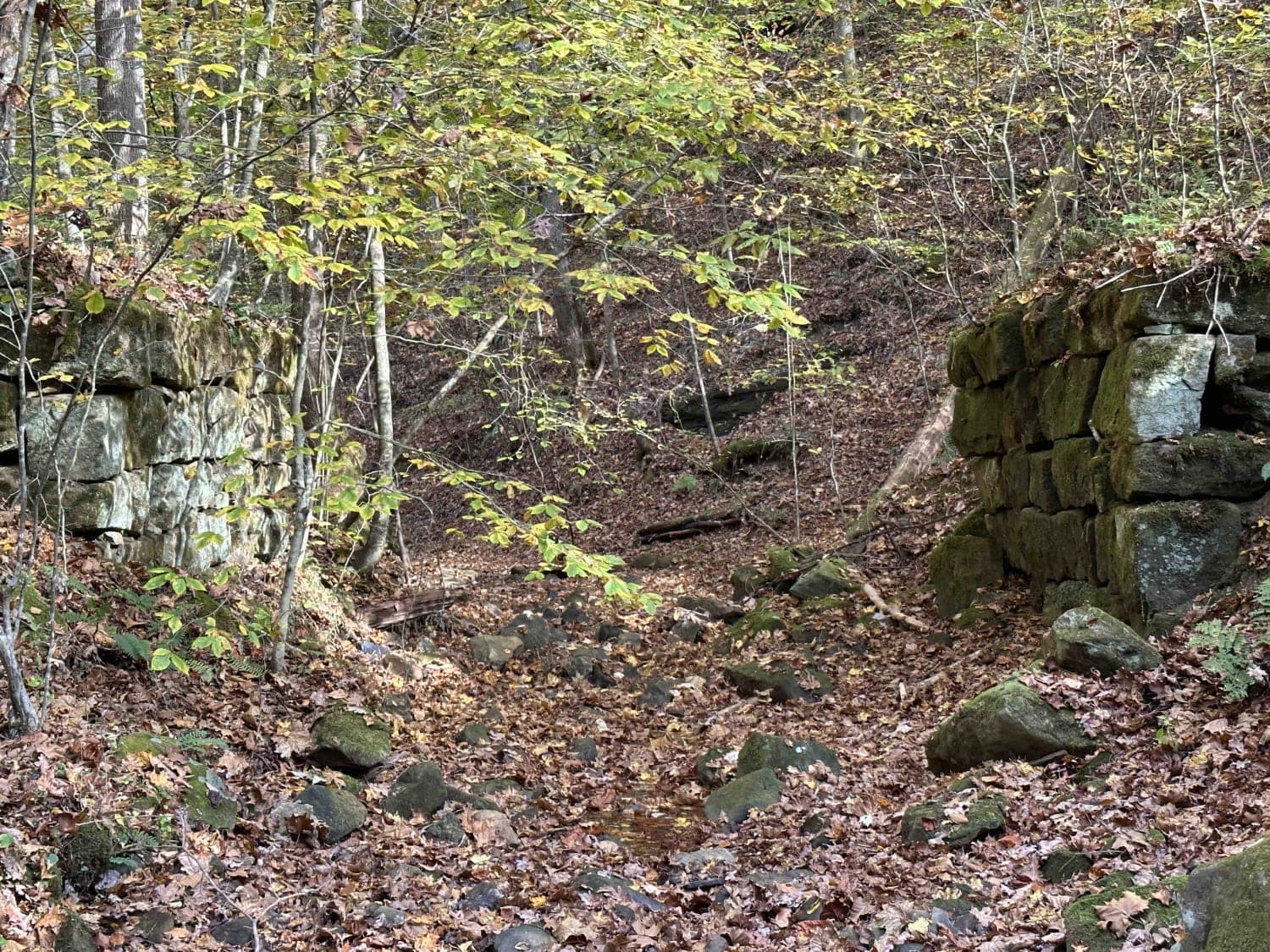
On this very scenic ride down along the creek, you will pass the remains of two bridges. The first will be on the left and is the larger of the two. The next will be on the right and is slightly smaller. This is an awesome place to get out and look around. This is a really mild trail little to no obstacles and a great place to stop for a picnic or to look for old artifacts. The trail dead ends at East Lynn Lake.
Photos of Stonebridge Trail
Difficulty
This is a very mild trail with little to no obstacles.
Status Reports
Popular Trails

Monday Lick Rd (FS1002)

193 Single Track

Emily Creek
The onX Offroad Difference
onX Offroad combines trail photos, descriptions, difficulty ratings, width restrictions, seasonality, and more in a user-friendly interface. Available on all devices, with offline access and full compatibility with CarPlay and Android Auto. Discover what you’re missing today!


