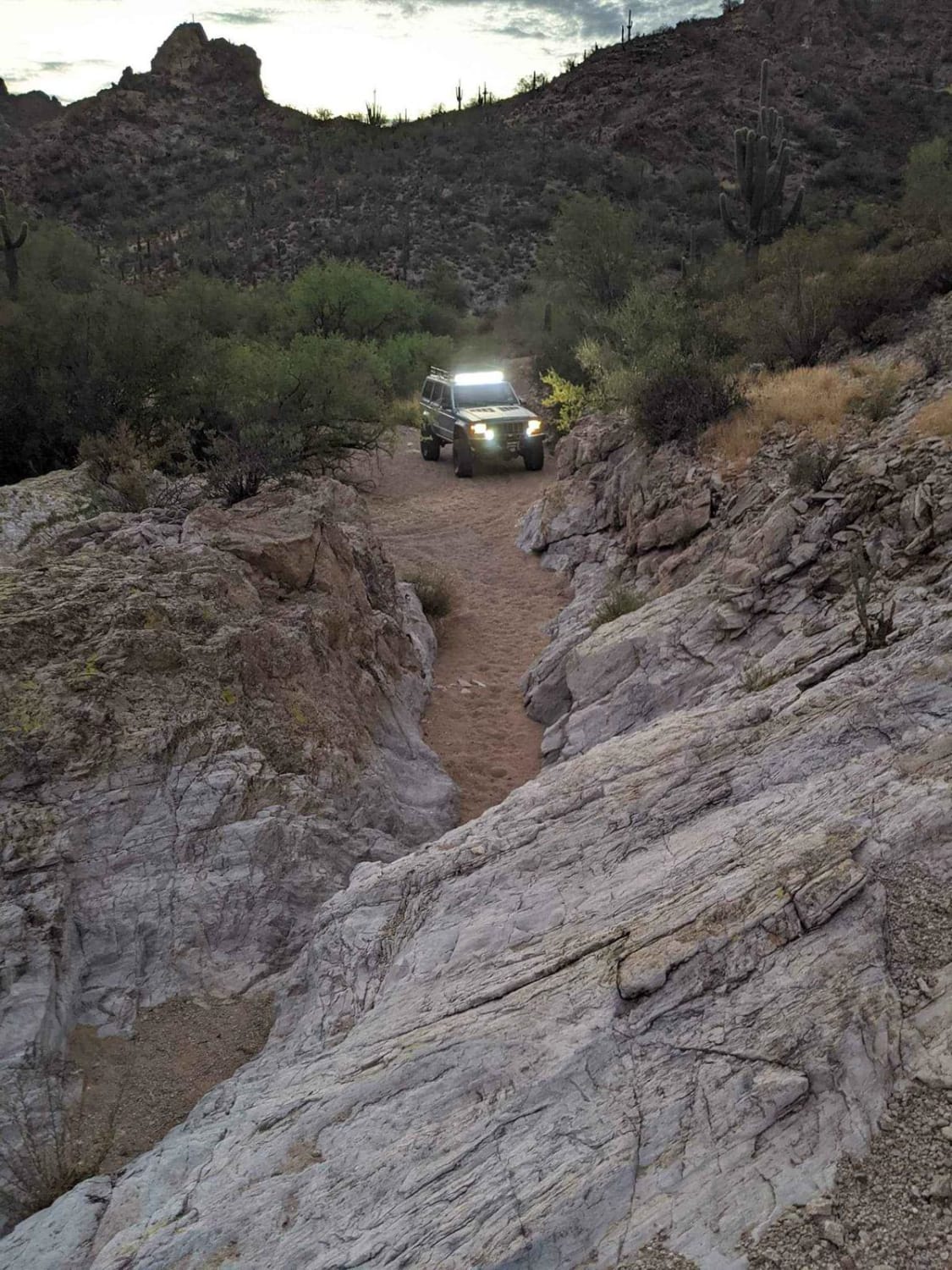
Wrangler's Nest Trail
Total Miles
3.6
Elevation
571.73 ft
Duration
1.5 Hours
Technical Rating
Best Time
Spring, Summer, Fall, Winter
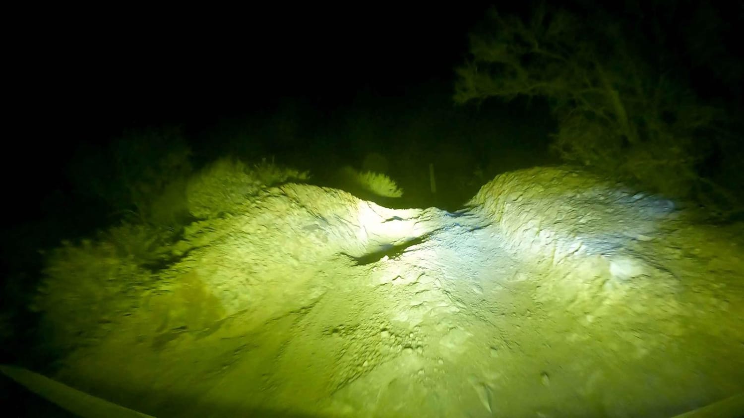
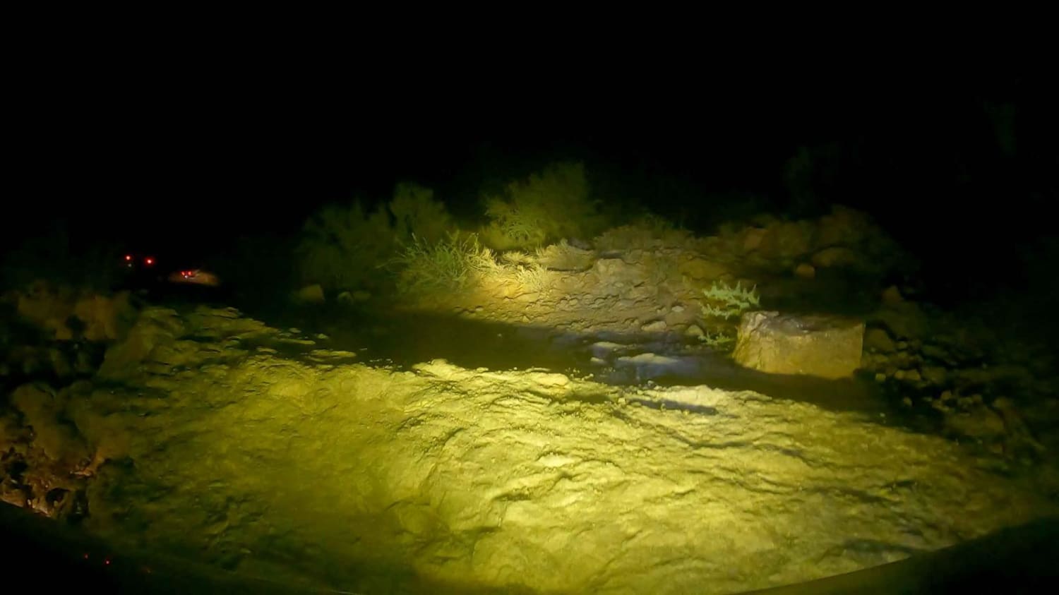
Trail Overview
This is a great technical trail with many obstacles available for more experienced drivers. Secluded in the desert between The CAP Canal North of Vistancia and Carefree Highway, this trail is filled with awesome washes, 24" obstacles, blind Steep Climbs, and plenty of alternate routes around the obstacles. This is also a fantastic night ride that actually leads to the Boulders OHV area and Cow Creek Road (Crown King). It's hard to imagine such awesome off-road trails being so close to civilization.
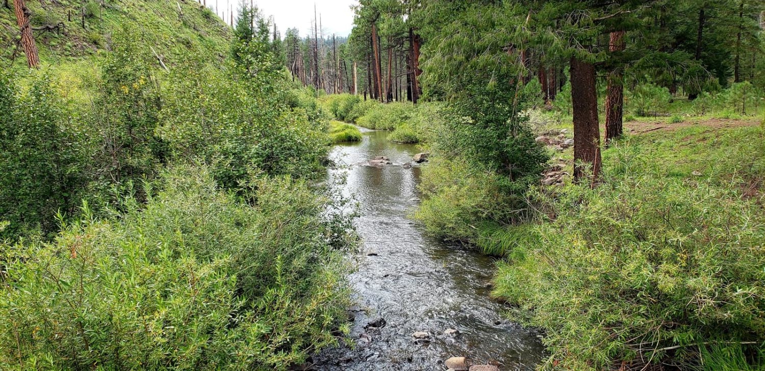
Photos of Wrangler's Nest Trail
Difficulty
This trail is technical including steep pitch and roll angles.
Status Reports
Popular Trails
Pasture Blast
Bull Dog Canyon With Wash Loop
North Fork East Fork Black River Canyon
The onX Offroad Difference
onX Offroad combines trail photos, descriptions, difficulty ratings, width restrictions, seasonality, and more in a user-friendly interface. Available on all devices, with offline access and full compatibility with CarPlay and Android Auto. Discover what you’re missing today!