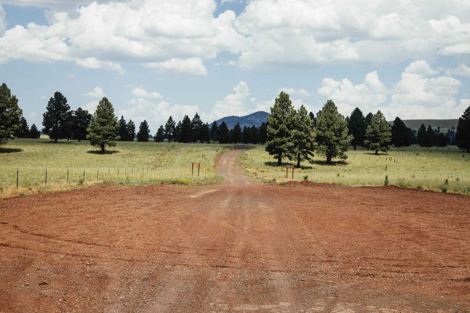
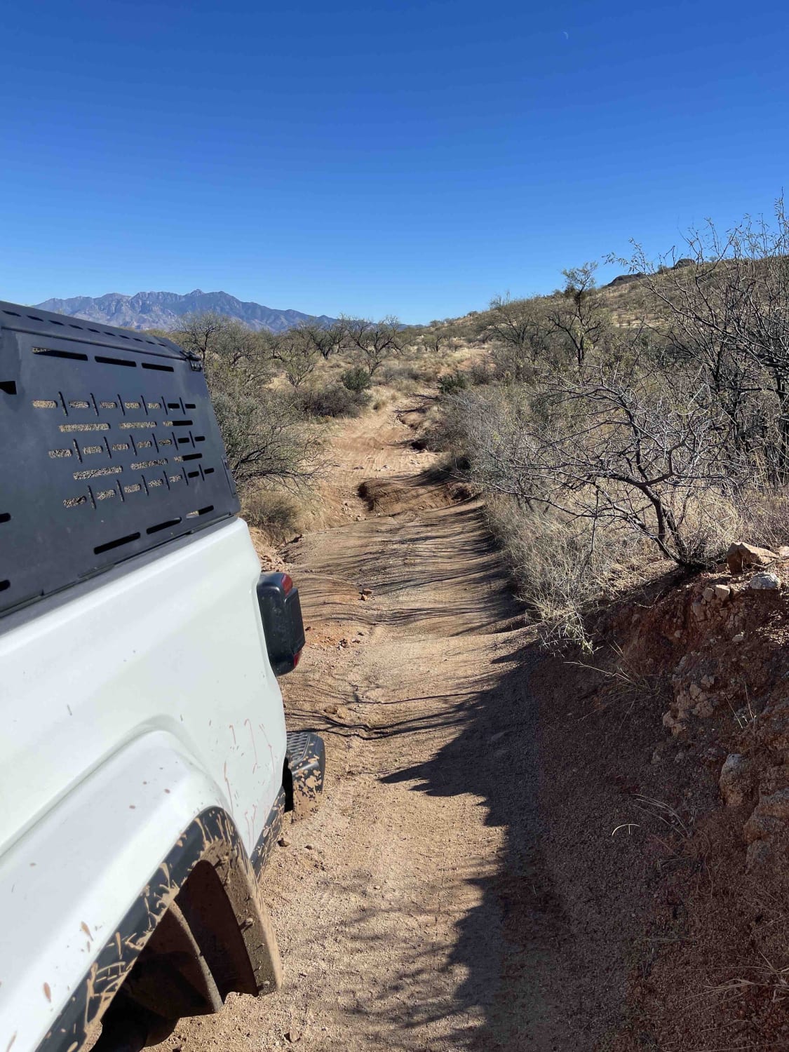
Off-Road Trails in Arizona

Discover off-road trails in Arizona
Trail Length
Best Time of Year
Sort By
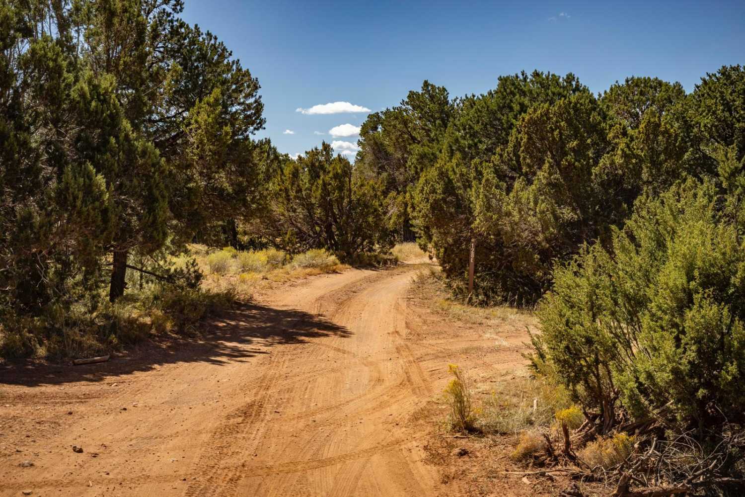
Learn more about Scrub Oak Bypass 
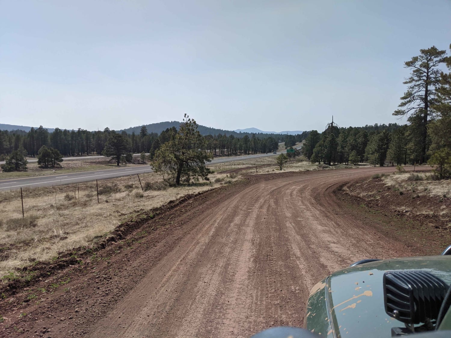
Scrub Oak Bypass
Total Miles
0.5
Tech Rating
Easy
Best Time
Spring, Summer, Fall


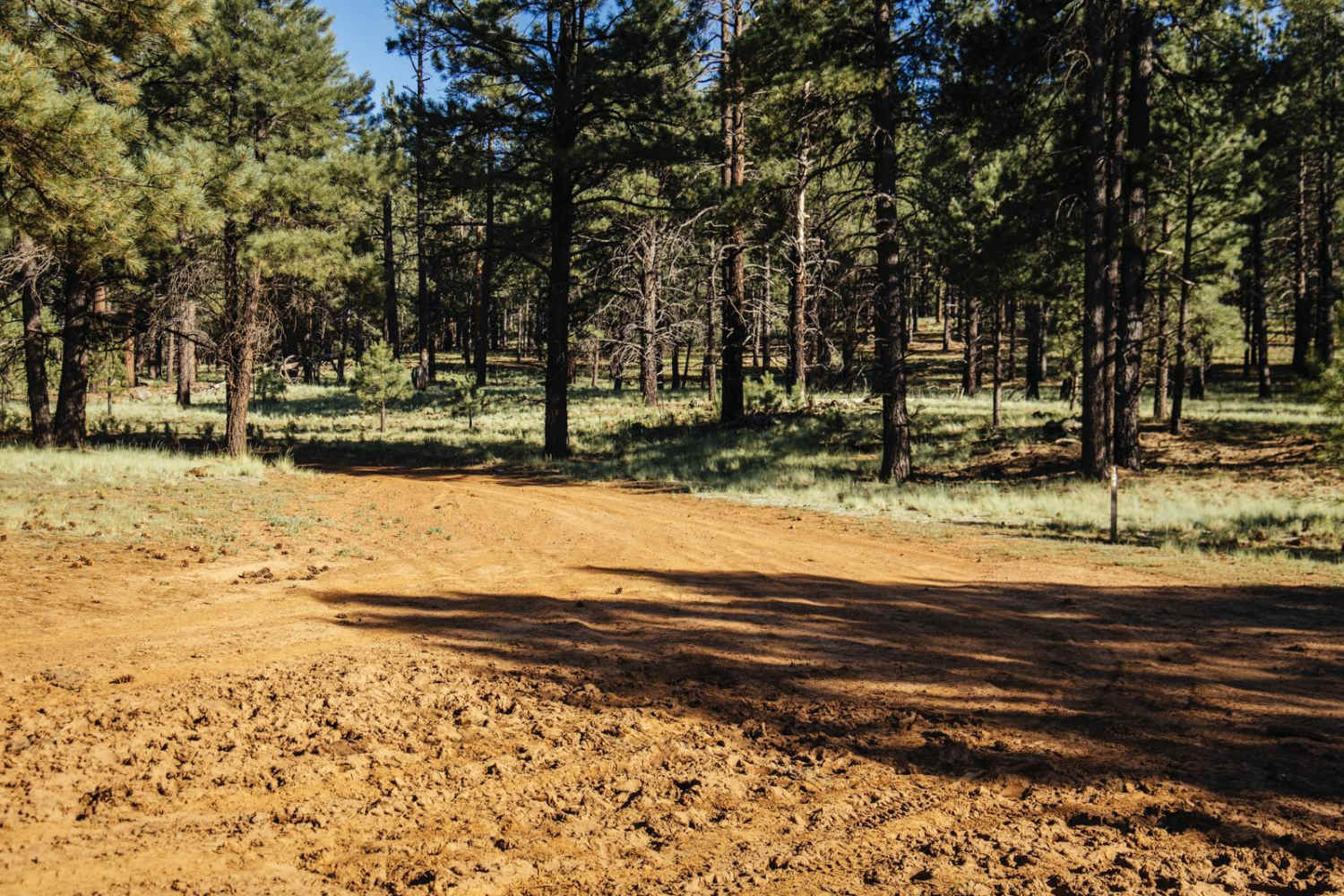
Learn more about 1034F Wildlife Water
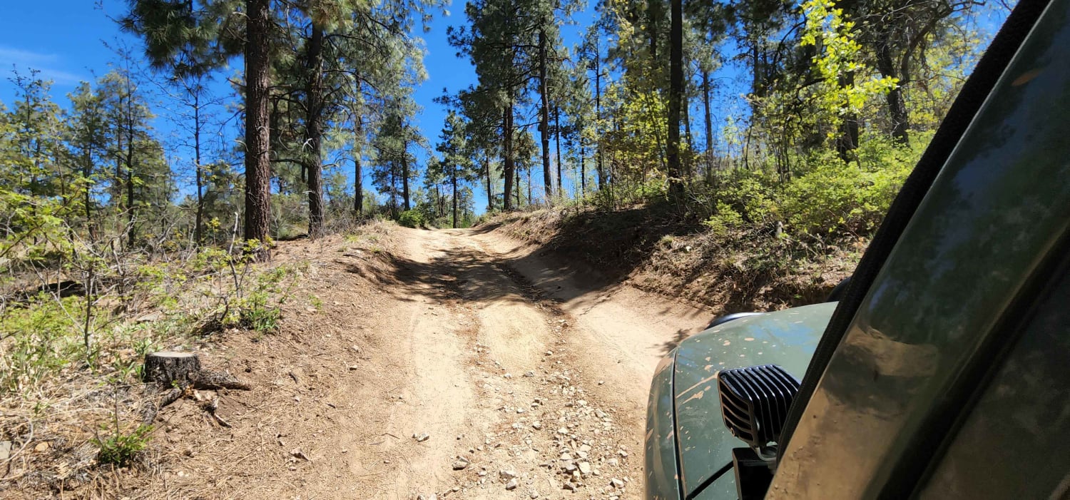
1034F Wildlife Water
Total Miles
2.9
Tech Rating
Easy
Best Time
Spring, Fall
Learn more about 1043 Lees Ferry Overlook 
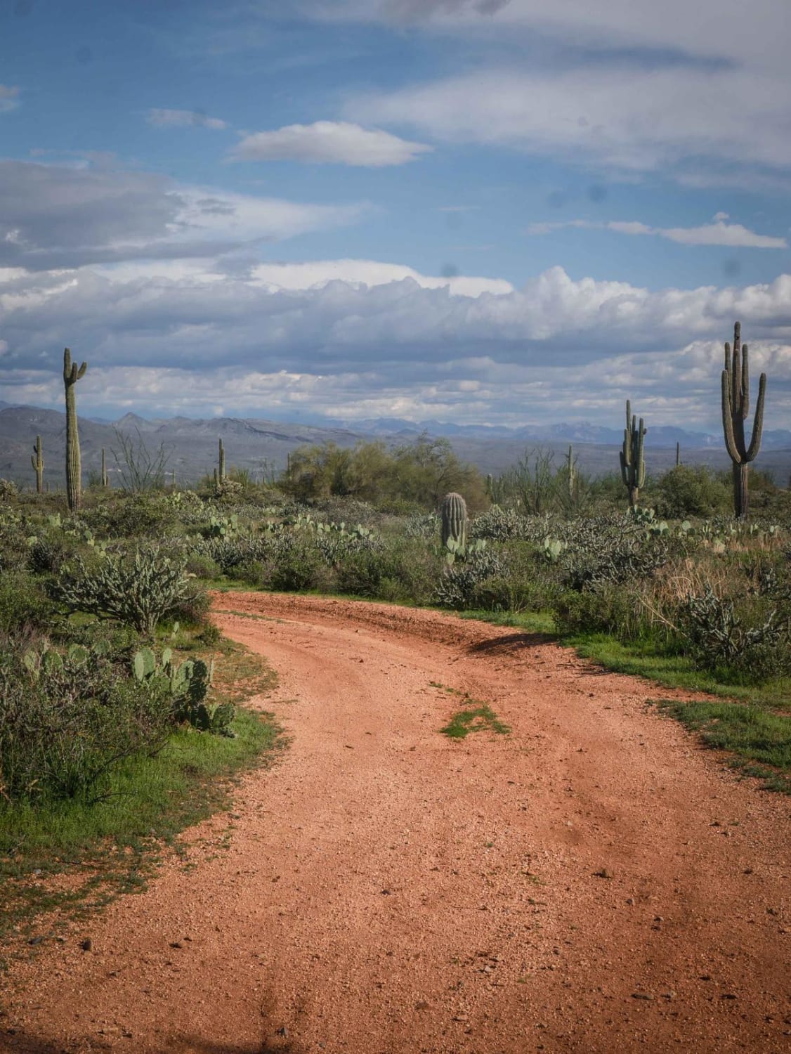
1043 Lees Ferry Overlook
Total Miles
6.1
Tech Rating
Moderate
Best Time
Spring, Winter, Fall
Learn more about 1071K Last Chance Lookout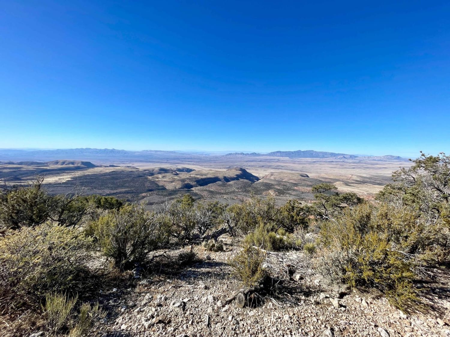
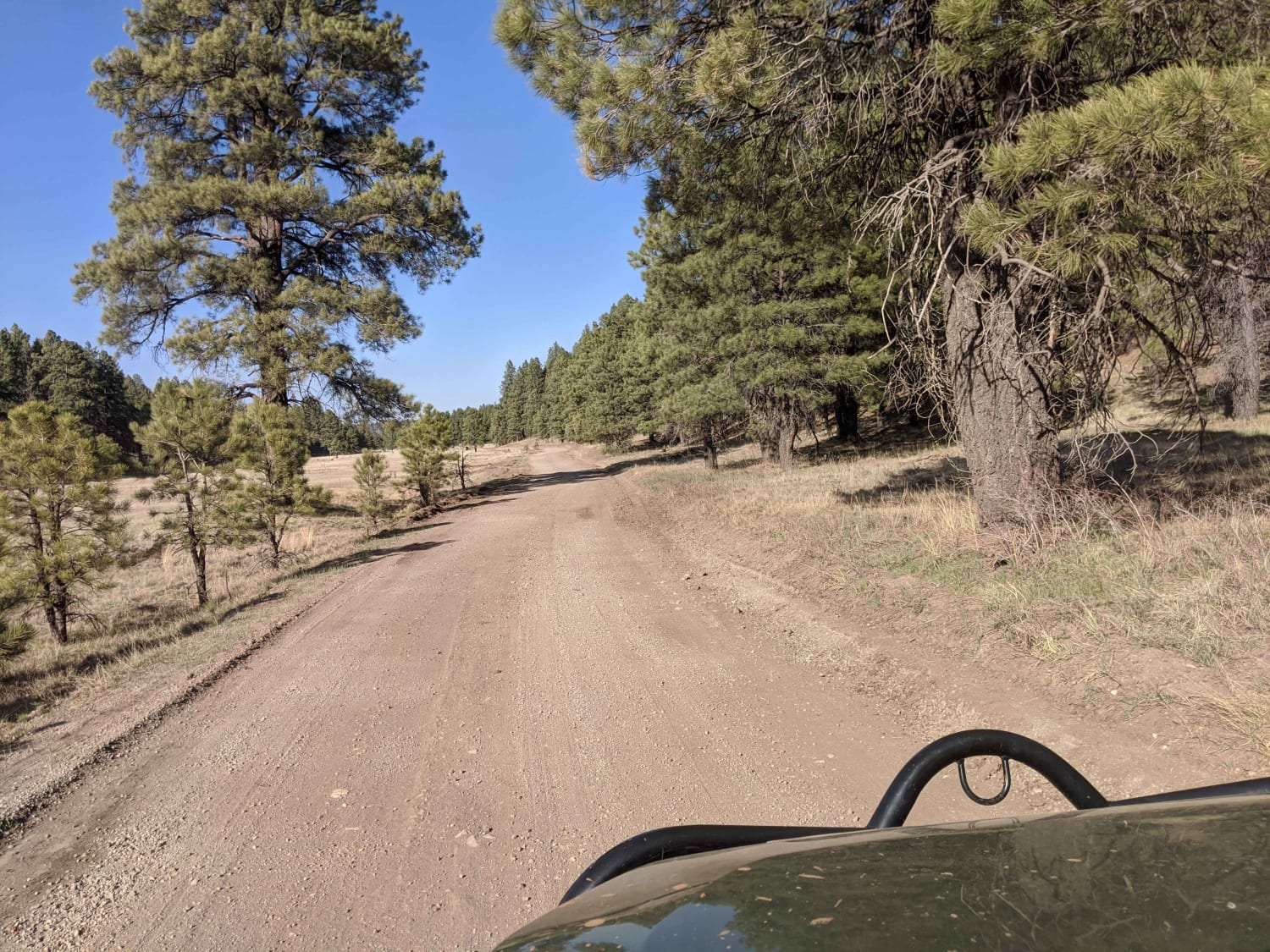
1071K Last Chance Lookout
Total Miles
3.2
Tech Rating
Moderate
Best Time
Fall, Spring


Viewing 20 of 2249
The onX Offroad Difference
onX Offroad combines trail photos, descriptions, difficulty ratings, width restrictions, seasonality, and more in a user-friendly interface. Available on all devices, with offline access and full compatibility with CarPlay and Android Auto. Discover what you’re missing today!