West Pilot Hill Road and Laycock Spring
Total Miles
2.5
Elevation
2,679.84 ft
Duration
1.25 Hours
Technical Rating
Best Time
Summer, Fall
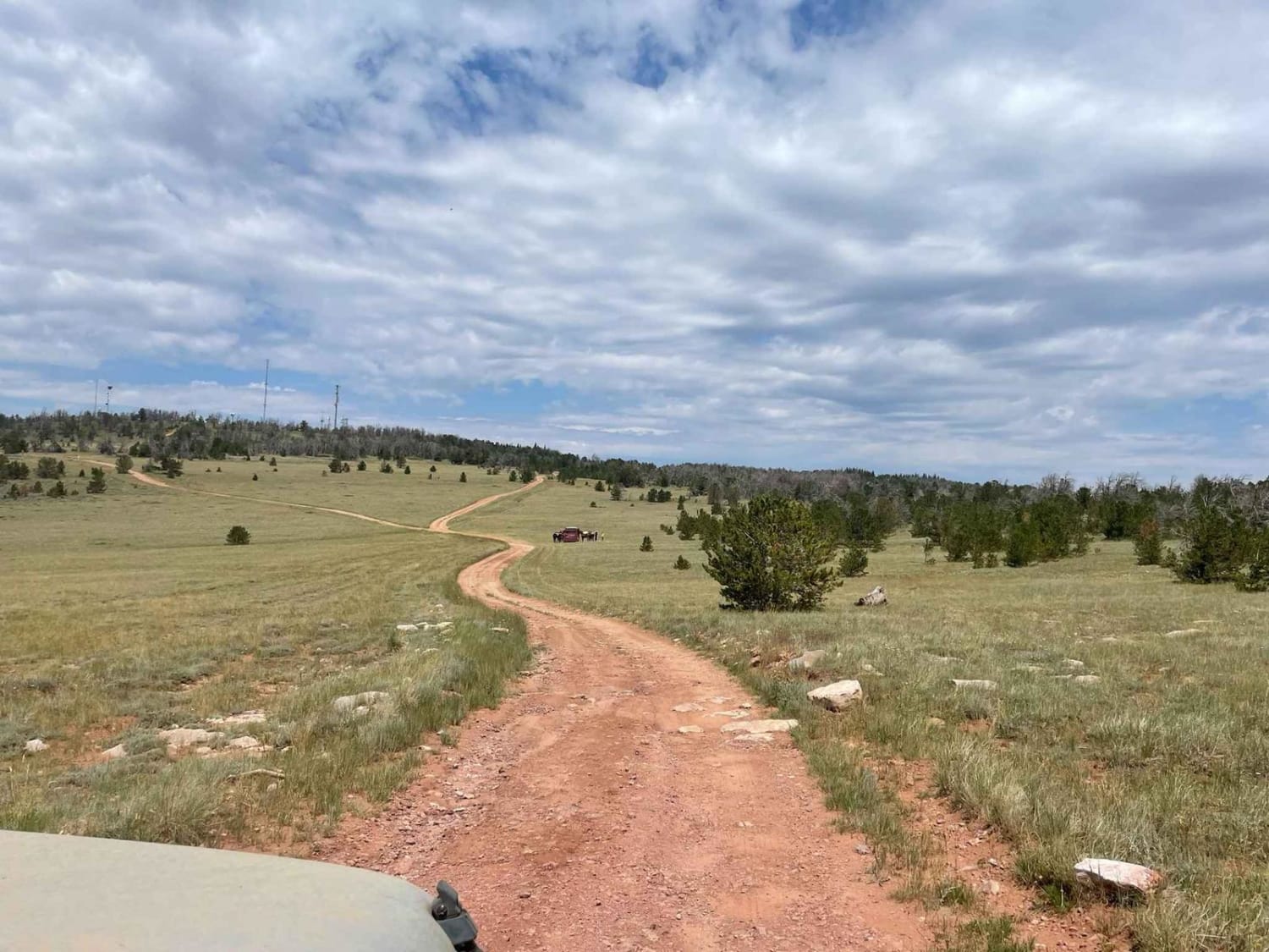
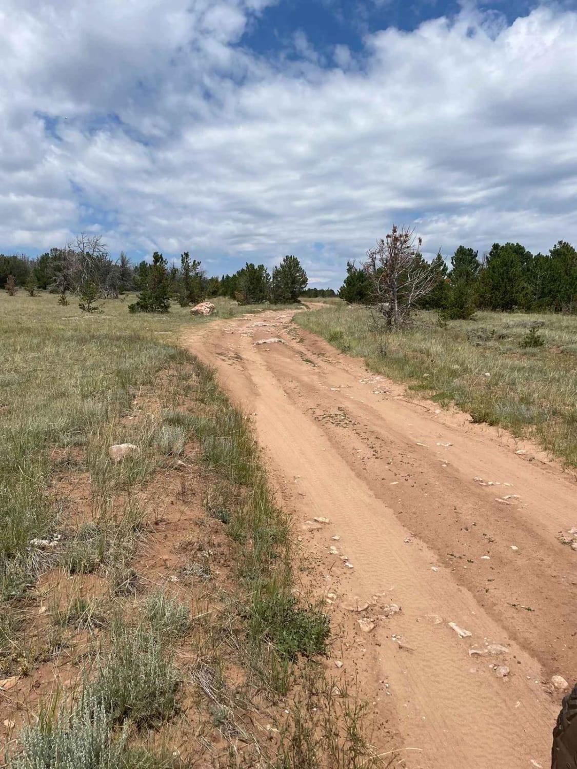
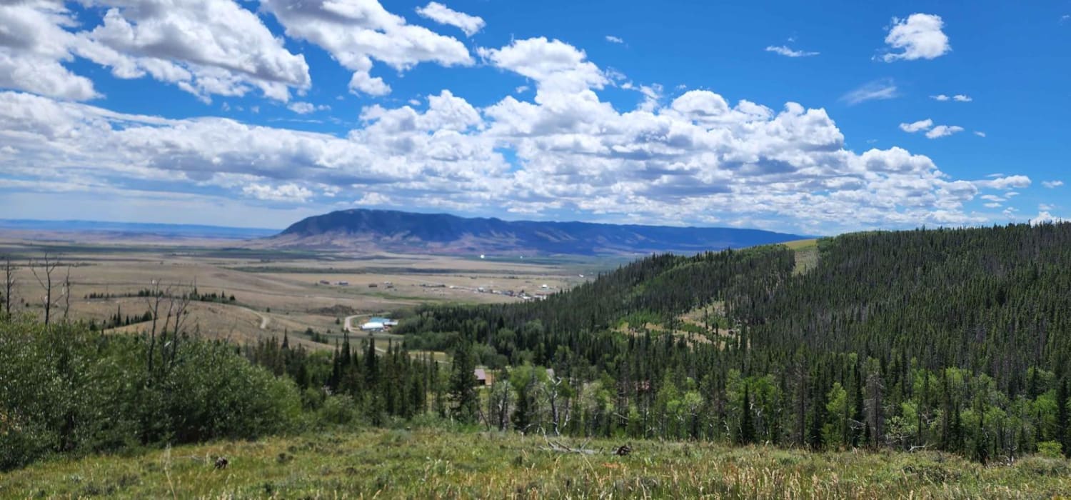
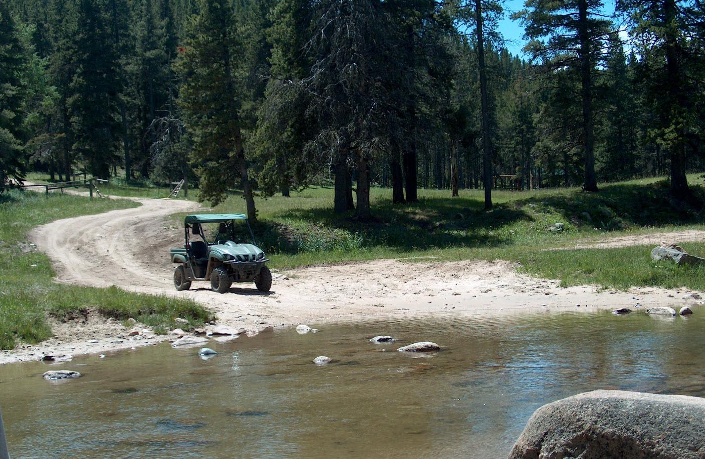
Trail Overview
The West Pilot Hill Road is a rough, rocky Forest Service road that provides access to the television and radio tower sites above Laramie. The portion of the road accessible by motor vehicles ends just below pilot hill, but non-motorized trails connect this area to the city of Laramie. The short side spur to Laycock Spring is a less traveled tight two-track with a dispersed campsite in an aspen grove near the spring.
Photos of West Pilot Hill Road and Laycock Spring
Difficulty
Much of this route is easy, but the portion leading to the valley below Pilot Hill and the side spur to Laycock Spring have some deeply eroded areas which could be problematic in wet, slippery conditions. The end of the spur to Laycock spring is also somewhat overgrown and has a small off camber turn-around at its end.
Status Reports
Popular Trails

Headquarters Road

Shale Creek - Kinney Creek Loop
The onX Offroad Difference
onX Offroad combines trail photos, descriptions, difficulty ratings, width restrictions, seasonality, and more in a user-friendly interface. Available on all devices, with offline access and full compatibility with CarPlay and Android Auto. Discover what you’re missing today!