Off-Road Trails in Wyoming

Discover off-road trails in Wyoming
Trail Length
Best Time of Year
Sort By
Learn more about 554 Wildcat and 528 Geyser Creek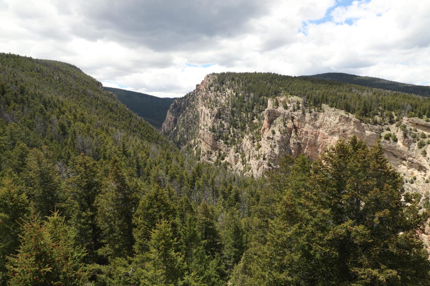
554 Wildcat and 528 Geyser Creek
Total Miles
13.9
Tech Rating
Easy
Best Time
Spring, Summer, Fall, Winter
Learn more about 57 Route - Willow Creek
57 Route - Willow Creek
Total Miles
5.6
Tech Rating
Easy
Best Time
Summer, Spring, Fall
Learn more about Adobe Town Basin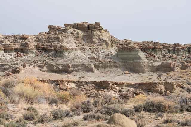
Adobe Town Basin
Total Miles
12
Tech Rating
Easy
Best Time
Spring, Summer, Fall
Learn more about Adobe Town North Rim
Adobe Town North Rim
Total Miles
8.9
Tech Rating
Easy
Best Time
Spring, Summer, Fall
Learn more about Alpine Scenic Beach Drive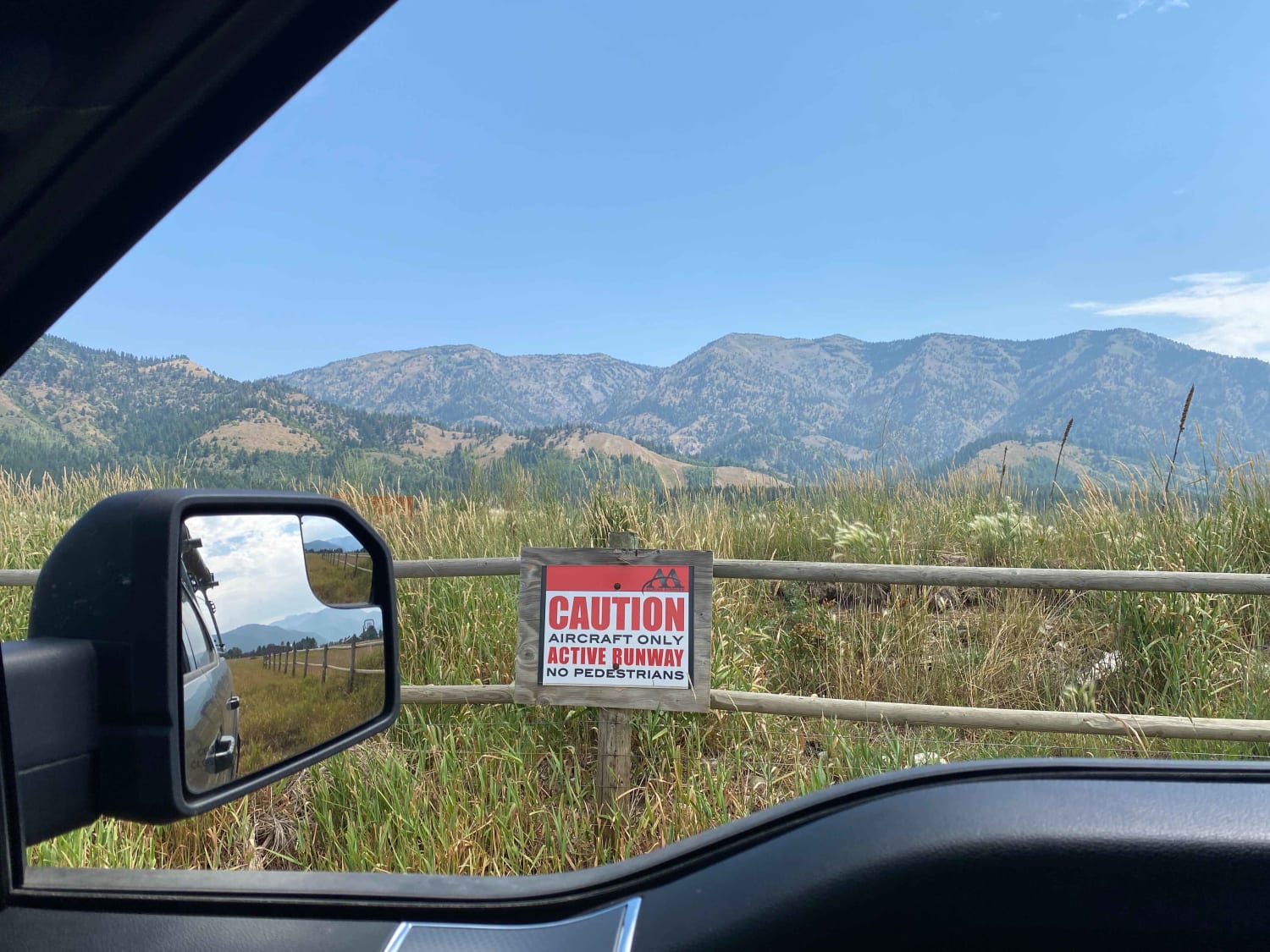
Alpine Scenic Beach Drive
Total Miles
2.5
Tech Rating
Moderate
Best Time
Summer, Fall
Learn more about Antelope Valley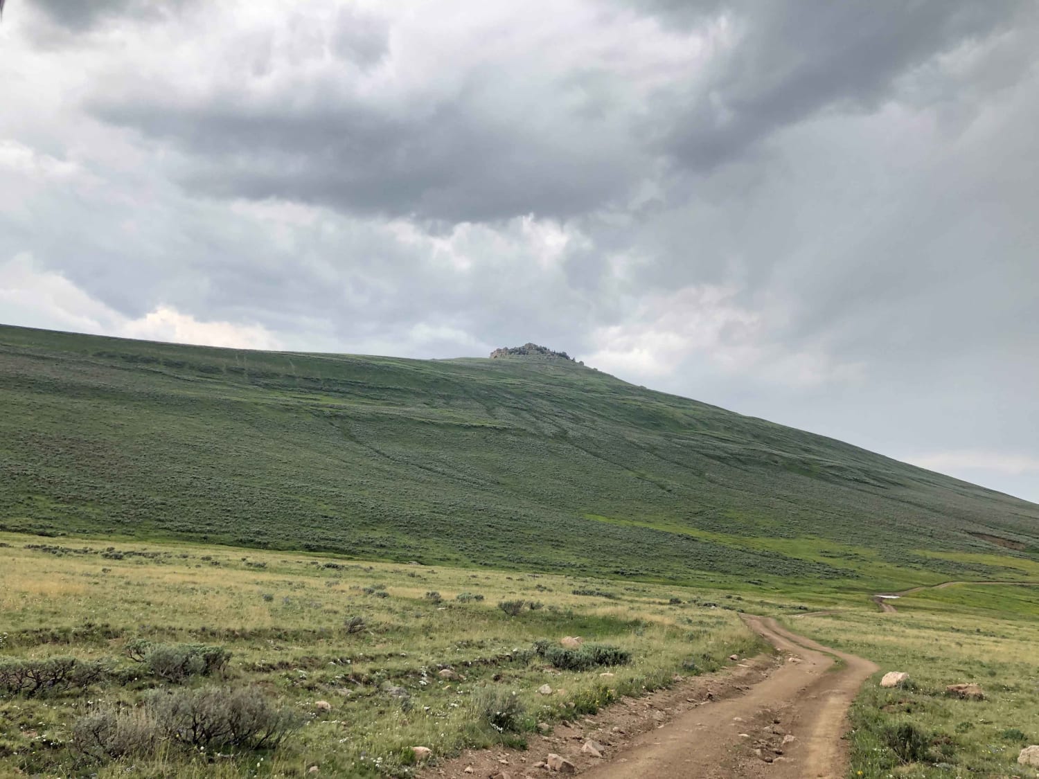
Antelope Valley
Total Miles
16.1
Tech Rating
Moderate
Best Time
Summer, Fall
Learn more about Ashton-Flagg Ranch Lake Road
Ashton-Flagg Ranch Lake Road
Total Miles
33.5
Tech Rating
Moderate
Best Time
Summer, Fall

Learn more about Beaver Creek 4WD (FS 366)
Beaver Creek 4WD (FS 366)
Total Miles
5.6
Tech Rating
Easy
Best Time
Spring, Summer, Fall
Learn more about Big Bear Canyon/Devils Pass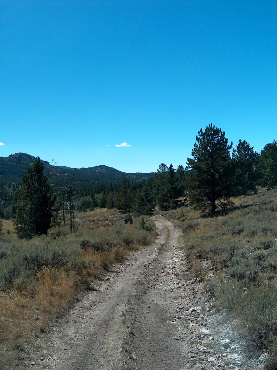
Big Bear Canyon/Devils Pass
Total Miles
6.3
Tech Rating
Moderate
Best Time
Summer, Fall
Learn more about Big Fall Creek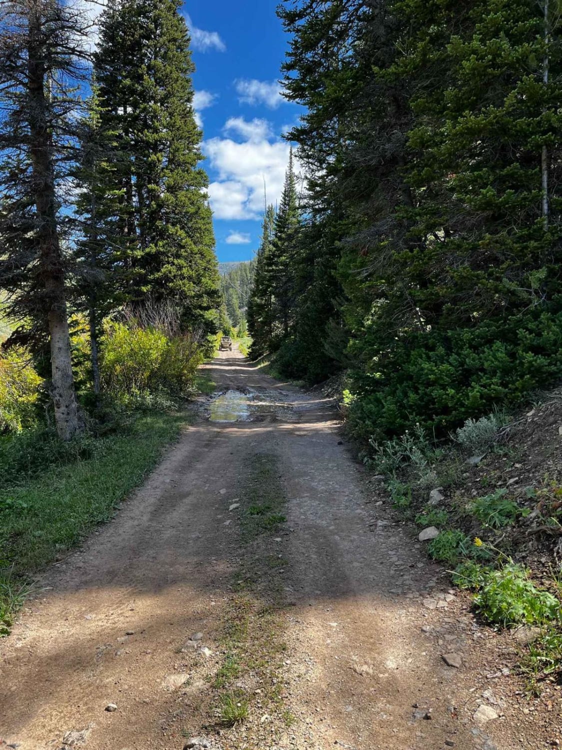
Big Fall Creek
Total Miles
3.5
Tech Rating
Moderate
Best Time
Spring, Summer, Fall
Learn more about Big Goose/Game Creek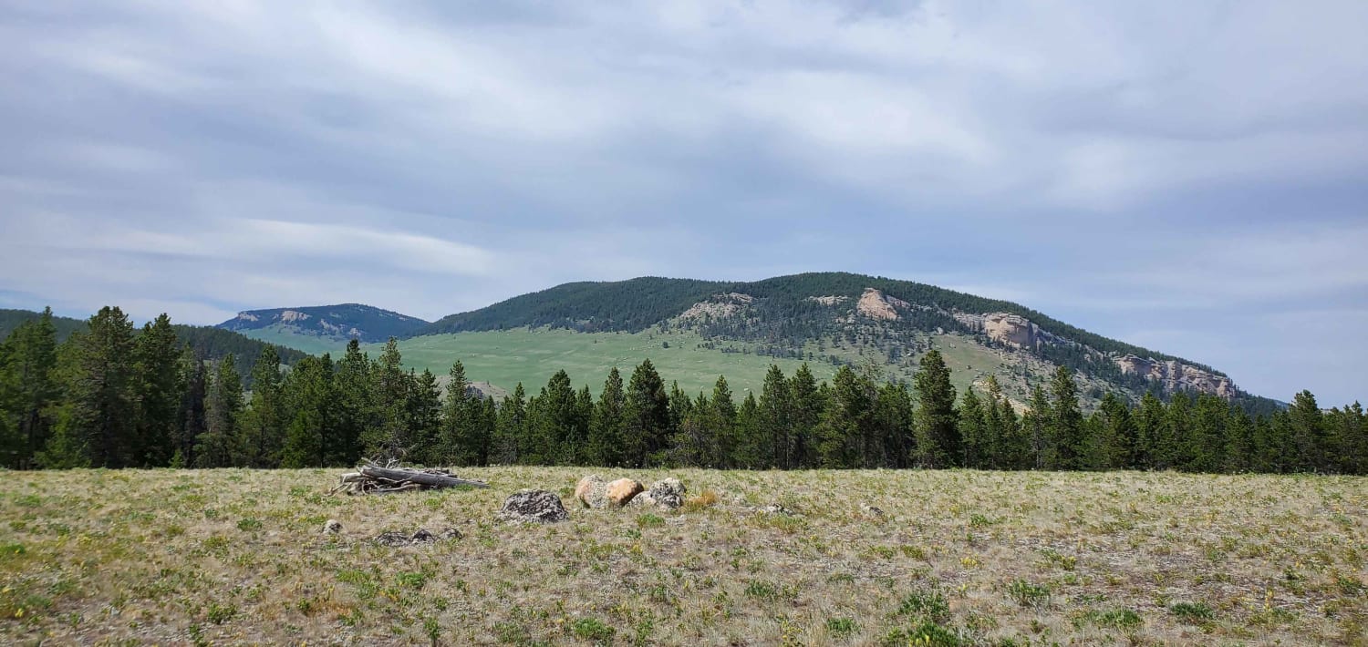
Big Goose/Game Creek
Total Miles
15.6
Tech Rating
Moderate
Best Time
Summer, Spring, Fall
Learn more about Big Spring Scenic Backway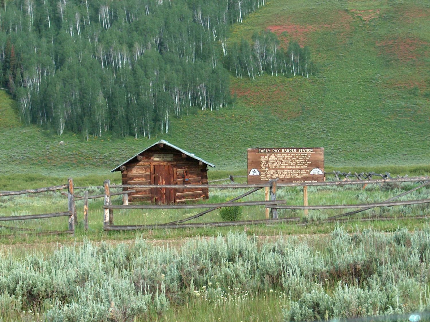
Big Spring Scenic Backway
Total Miles
66.4
Tech Rating
Easy
Best Time
Summer, Fall
Learn more about Black Mountain Lookout
Black Mountain Lookout
Total Miles
3.3
Tech Rating
Moderate
Best Time
Summer, Fall
Learn more about Blacktail Plateau
Blacktail Plateau
Total Miles
6.9
Tech Rating
Easy
Best Time
Summer, Fall
Learn more about Blair Wallis Road
Blair Wallis Road
Total Miles
6.9
Tech Rating
Easy
Best Time
Summer, Fall
Learn more about Brooks Lake
Brooks Lake
Total Miles
9.5
Tech Rating
Easy
Best Time
Spring, Summer, Fall, Winter
Viewing 20 of 167
The onX Offroad Difference
onX Offroad combines trail photos, descriptions, difficulty ratings, width restrictions, seasonality, and more in a user-friendly interface. Available on all devices, with offline access and full compatibility with CarPlay and Android Auto. Discover what you’re missing today!