Antelope Valley
Total Miles
16.1
Technical Rating
Best Time
Summer, Fall
Trail Type
High-Clearance 4x4 Trail
Accessible By
Trail Overview
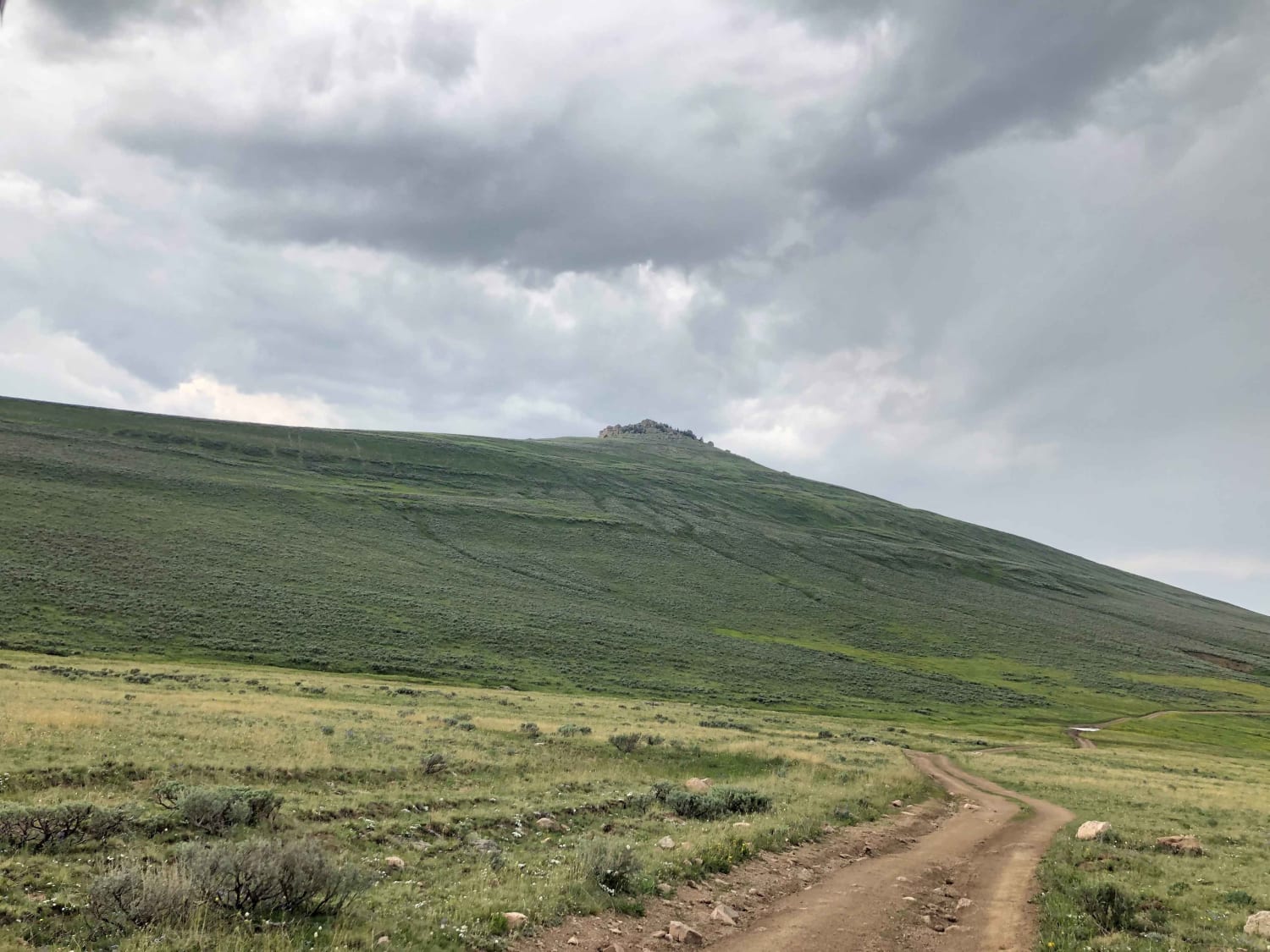
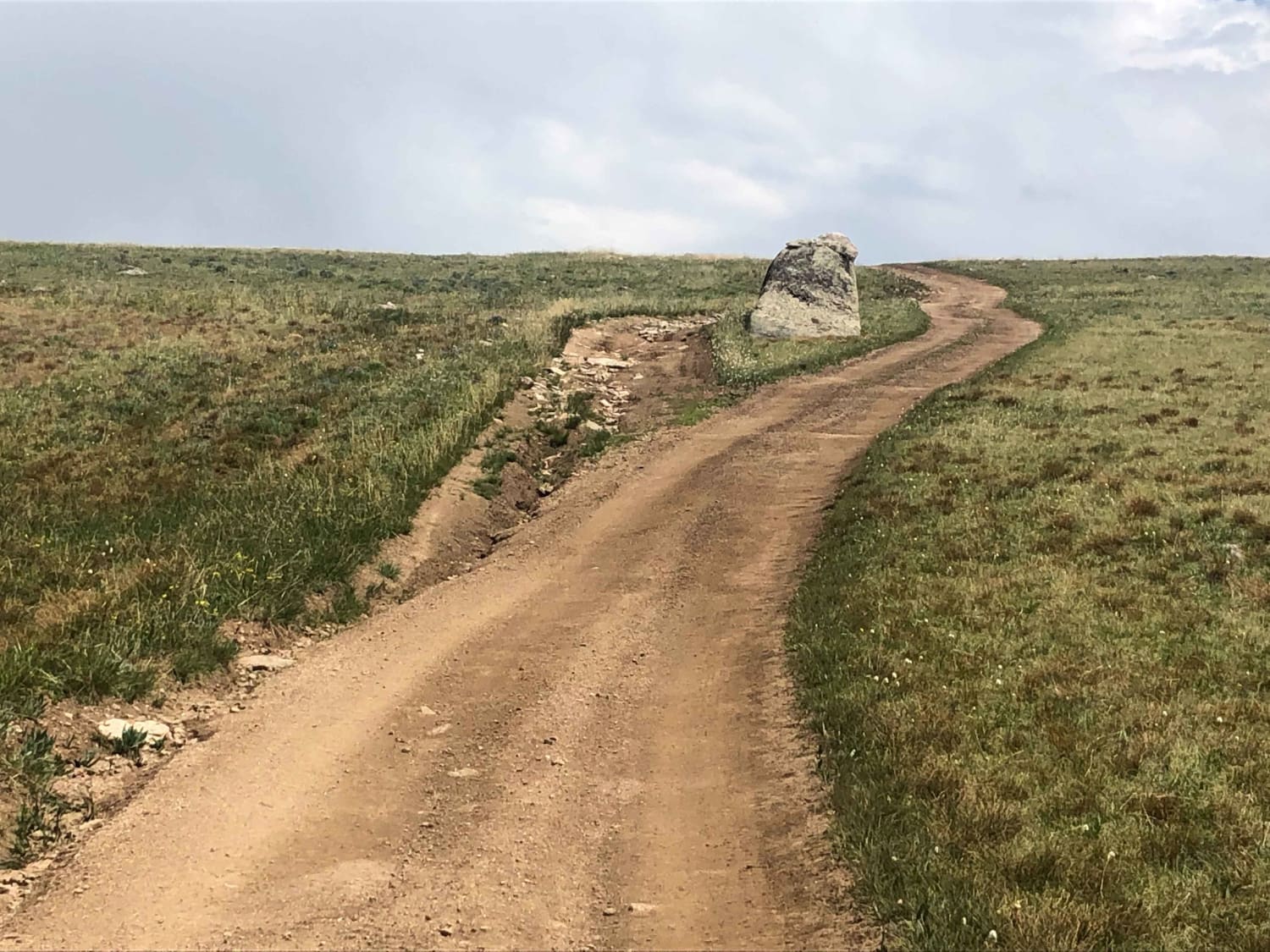
This route follows US Forest Service Roads in the Bighorn National Forest. It starts and end at a large parking area on US 14 and makes a loop through pine forest and a mountain valley. The Northern part of this loop goes through wooded areas and the trail has some large rocks as well as several water crossings. The Southern half of the loop is a rutted dirt road which is considerably less technical. This route passes through the Antelope Valley which is the highlight of the trip.
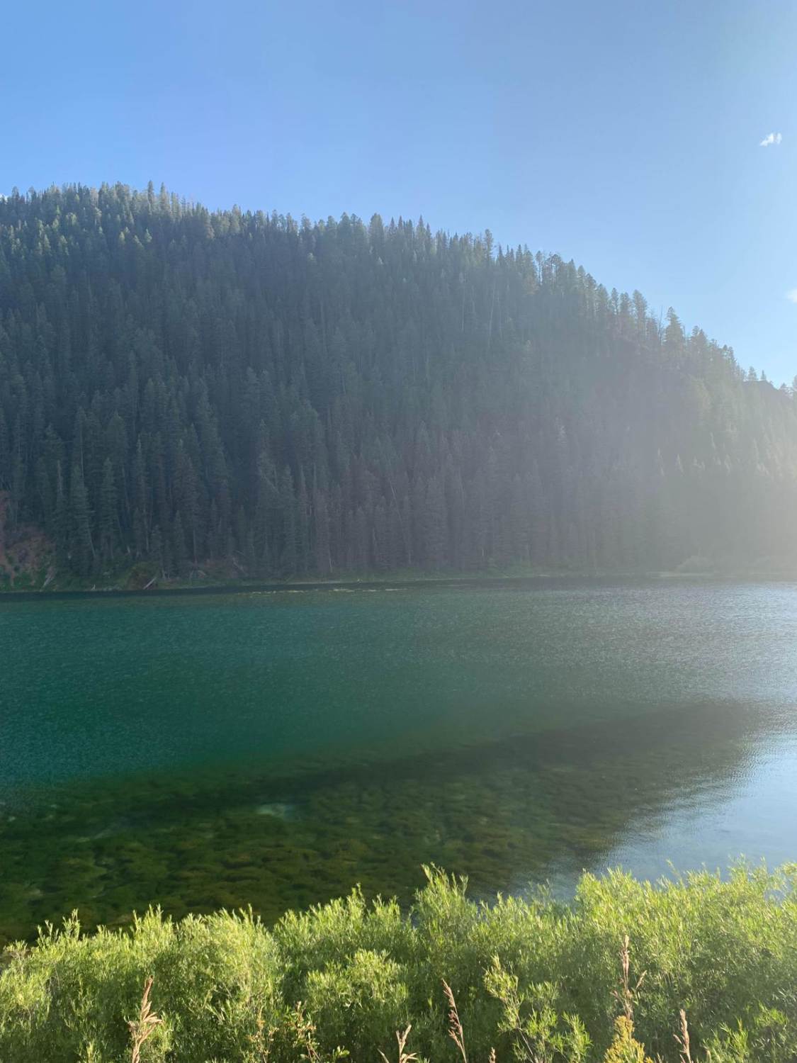
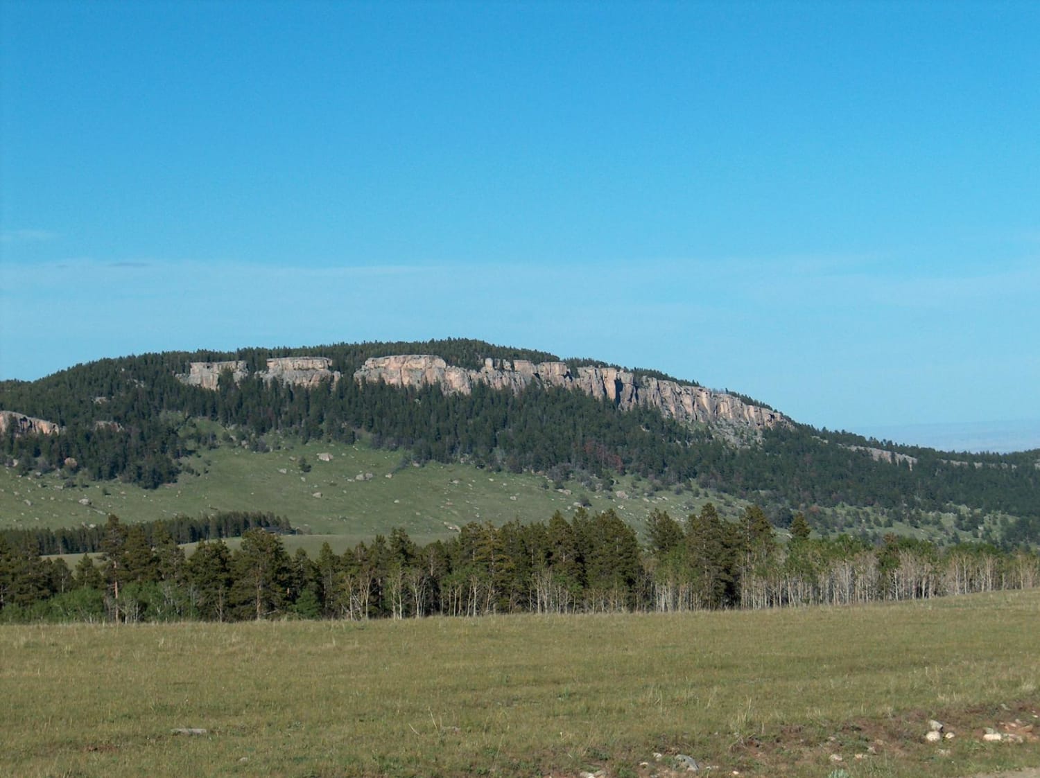
Photos of Antelope Valley
Difficulty
The primary obstacles are steep slopes, rocks, and shallow water crossings.
Status Reports
Antelope Valley can be accessed by the following ride types:
- High-Clearance 4x4
- SxS (60")
- ATV (50")
- Dirt Bike
Antelope Valley Map
Popular Trails

Bisbee Hill Road

Spalding Bay Road
The onX Offroad Difference
onX Offroad combines trail photos, descriptions, difficulty ratings, width restrictions, seasonality, and more in a user-friendly interface. Available on all devices, with offline access and full compatibility with CarPlay and Android Auto. Discover what you’re missing today!


