Smith Creek Road
Total Miles
29.8
Elevation
1,410.12 ft
Duration
2 Hours
Technical Rating
Best Time
Spring, Summer, Fall
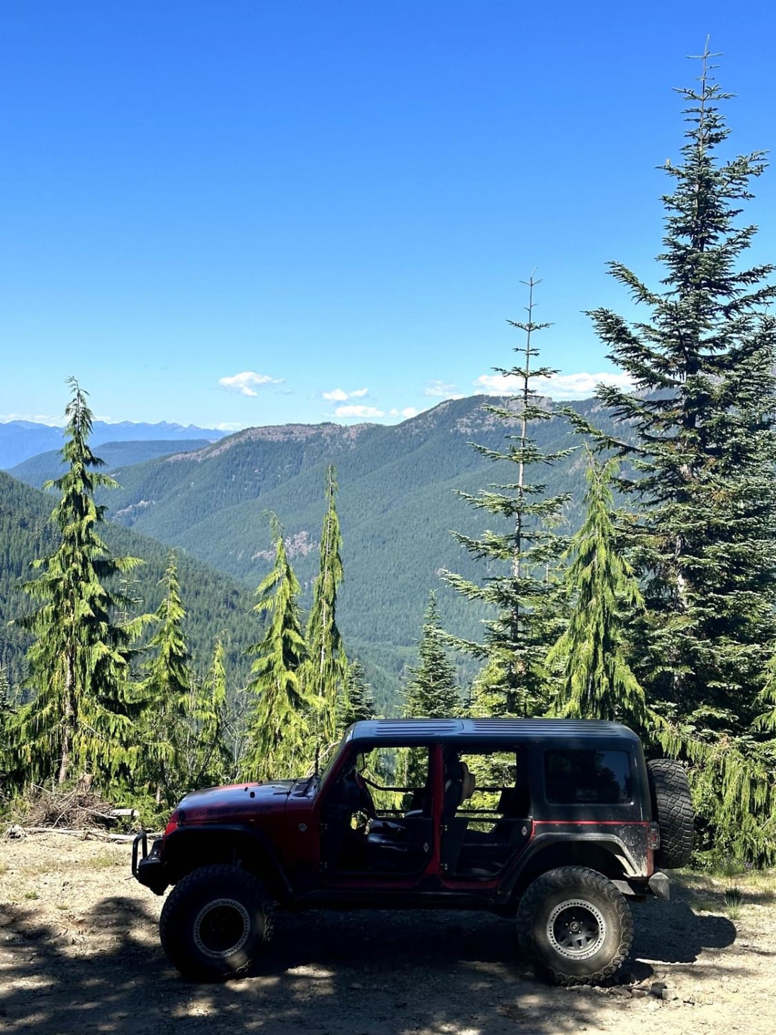
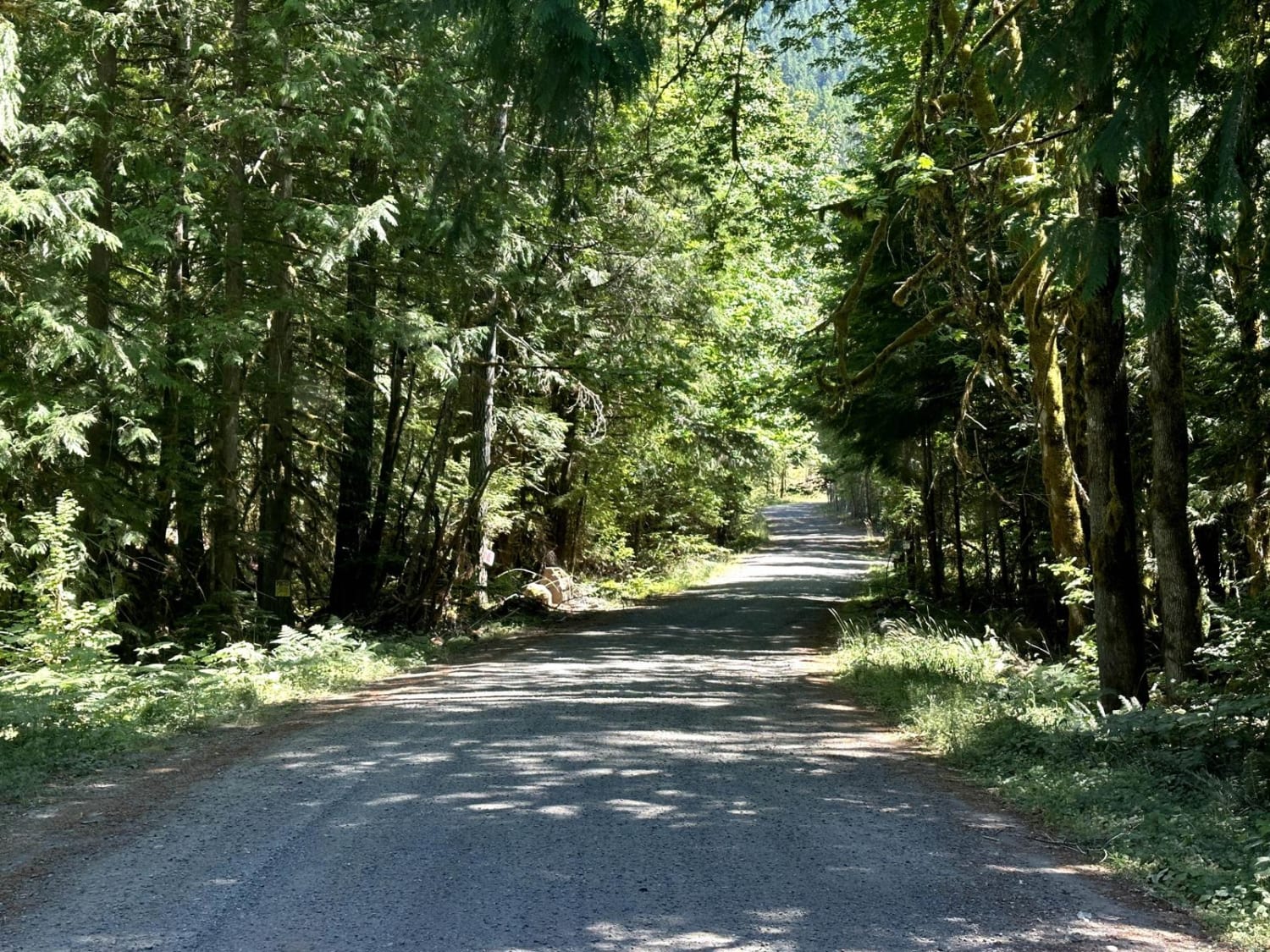
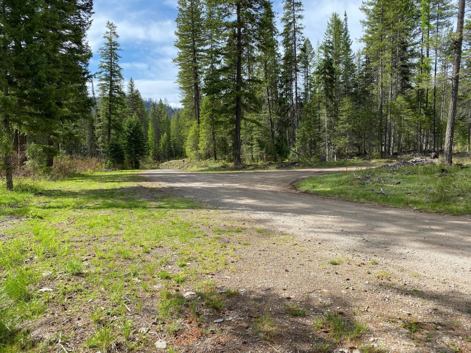
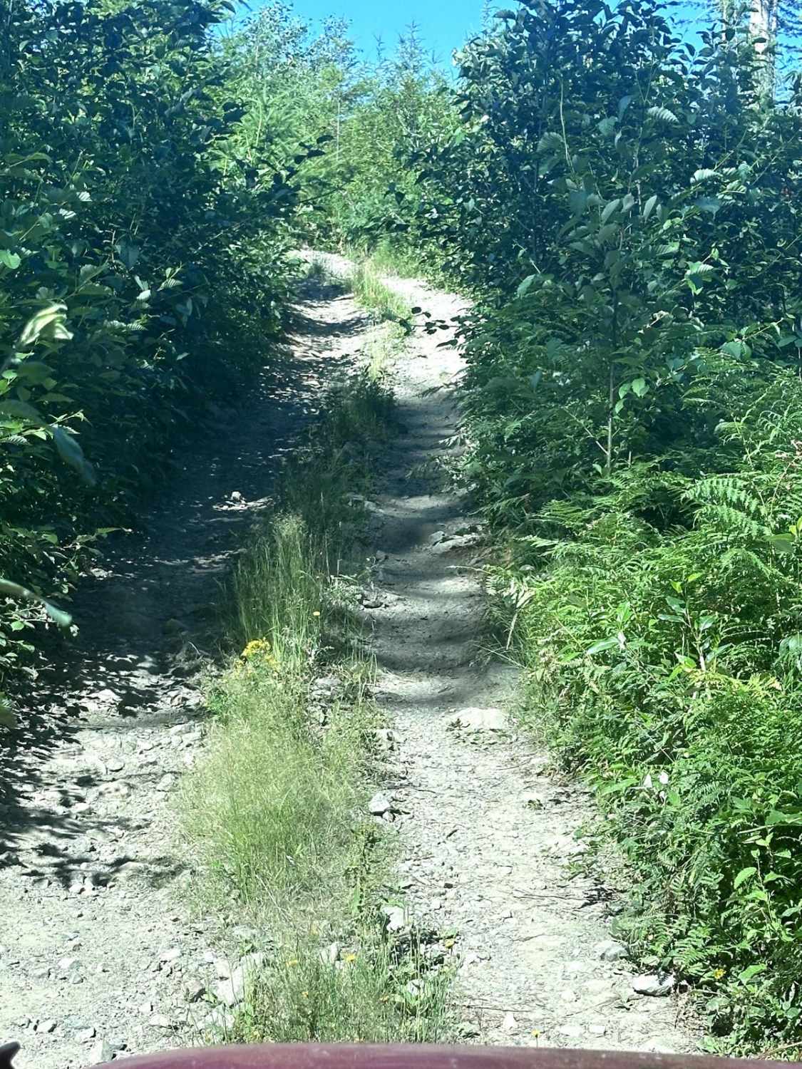
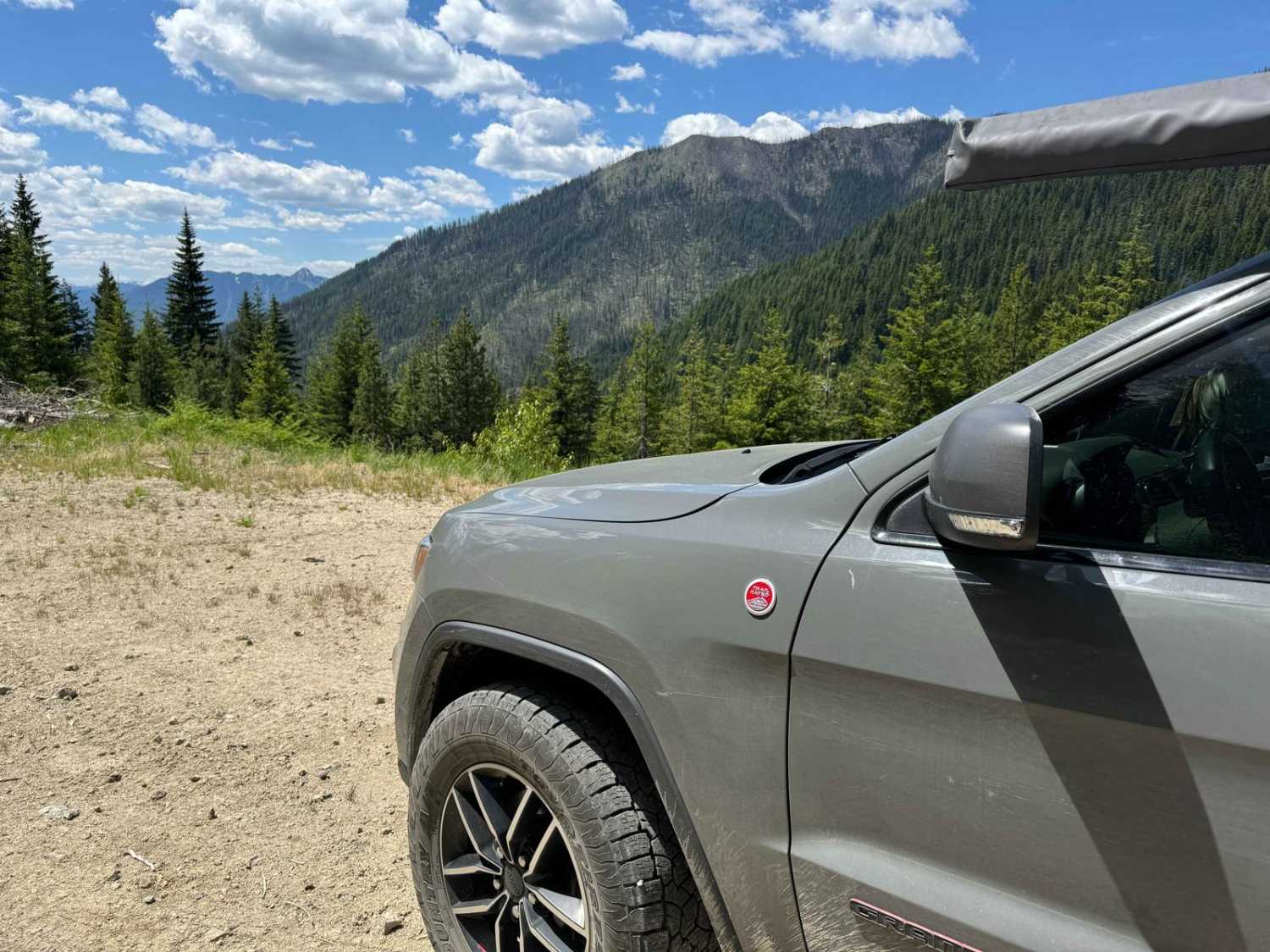
Trail Overview
This 30.4-mile out-and-back trail runs along Smith Creek in the Gifford-Pinchot National Forest and ends at a beautiful mountain vista point where you can see the south side of Mount Rainer. This trail is loaded with great mountain views along the trail. There are also some small waterfalls. There is a connection along this trail to the Klickitat Hiking trail, also the trailhead for South Point Lookout. This trail is passable by high clearance 2WD vehicles, AWD, and 4WD vehicles.
Photos of Smith Creek Road
Difficulty
This is a single-vehicle road with turn-outs, and mud holes less than 12" in depth.
Popular Trails
Twin Sisters Trail
The onX Offroad Difference
onX Offroad combines trail photos, descriptions, difficulty ratings, width restrictions, seasonality, and more in a user-friendly interface. Available on all devices, with offline access and full compatibility with CarPlay and Android Auto. Discover what you’re missing today!